Coppice Wood
Wood, Forest in Yorkshire Harrogate
England
Coppice Wood
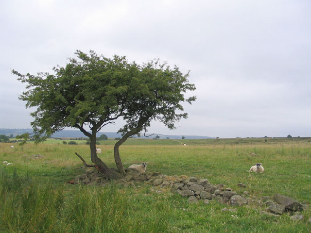
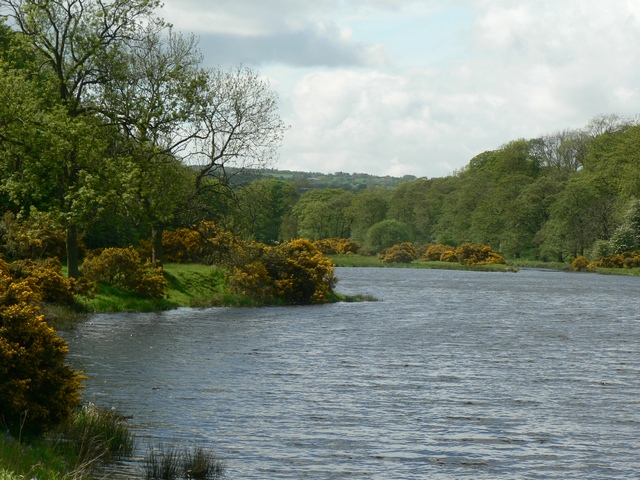
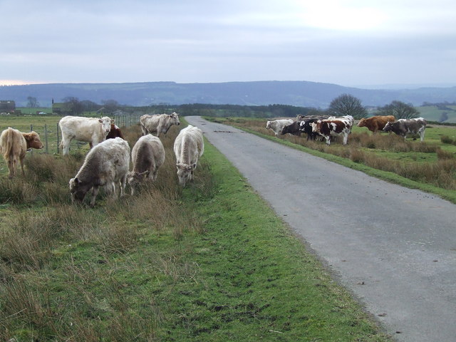
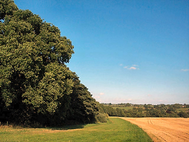
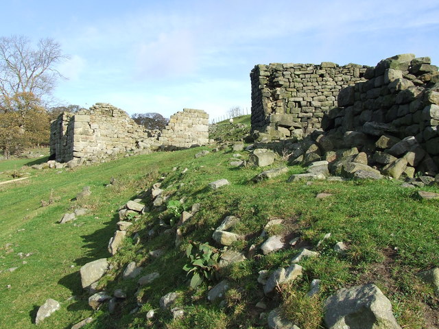
Coppice Wood, located in Yorkshire, is a serene and picturesque forest that spans over a vast area. It is renowned for its dense foliage and diverse range of tree species, offering a captivating natural landscape for visitors to explore. The wood primarily consists of oak, birch, beech, and ash trees, which provide a stunning display of colors during the autumn months.
The woodland is home to a rich array of wildlife, making it a popular destination for nature enthusiasts and birdwatchers. Visitors may be lucky enough to spot various bird species, including woodpeckers, owls, and thrushes, as well as small mammals like badgers, foxes, and squirrels. The tranquil atmosphere of Coppice Wood creates the perfect habitat for these creatures to thrive.
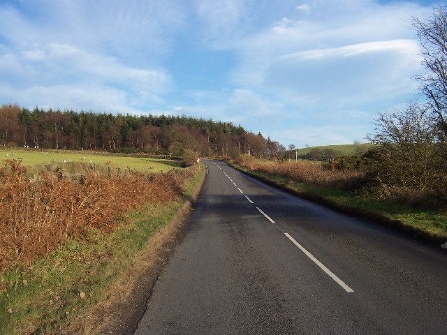
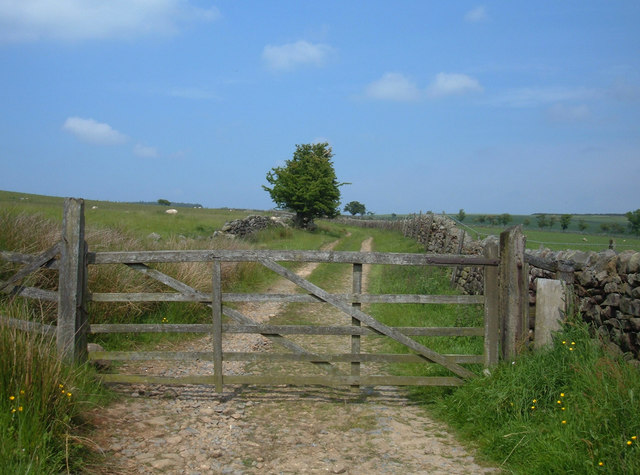
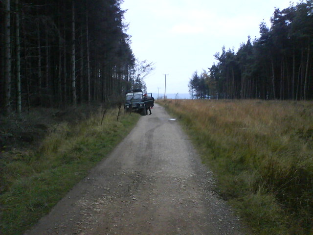
There are several walking trails that wind through the forest, allowing visitors to immerse themselves in the beauty of nature. These paths are well-maintained and suitable for all levels of fitness, making it accessible to a wide range of individuals. Along the trails, there are designated picnic areas where visitors can rest and enjoy a packed lunch amidst the peaceful surroundings.
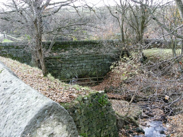
Coppice Wood is also notable for its historical significance. It has been used as a source of timber for centuries and remnants of old coppicing activities can still be seen today. This sustainable practice involves cutting back the trees to encourage new growth, ensuring a continuous supply of wood.
Overall, Coppice Wood in Yorkshire offers a tranquil retreat for nature lovers, providing a captivating natural environment, diverse wildlife, and opportunities for outdoor activities.
If you have any feedback on the listing, please let us know in the comments section below.
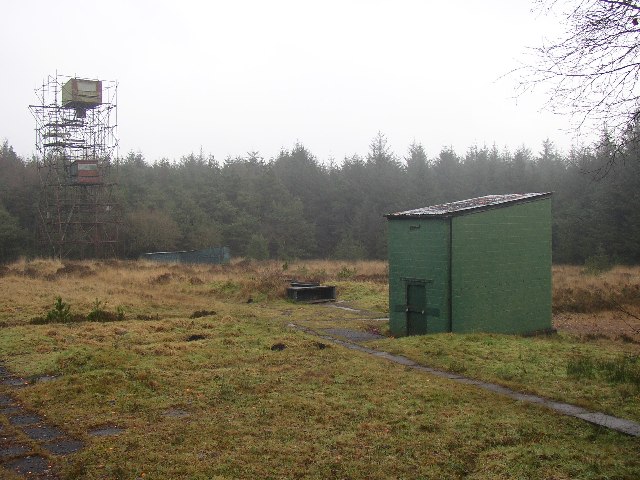
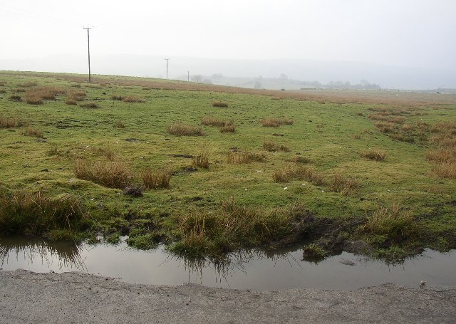
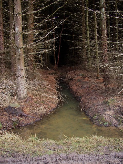
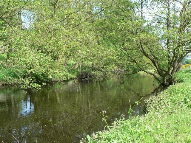
Coppice Wood Images
Images are sourced within 2km of 53.937765/-1.6648488 or Grid Reference SE2249. Thanks to Geograph Open Source API. All images are credited.


Coppice Wood is located at Grid Ref: SE2249 (Lat: 53.937765, Lng: -1.6648488)
Division: West Riding
Administrative County: North Yorkshire
District: Harrogate
Police Authority: North Yorkshire
What 3 Words
///subway.stuffing.famed. Near Stainburn, North Yorkshire
Nearby Locations
Related Wikis
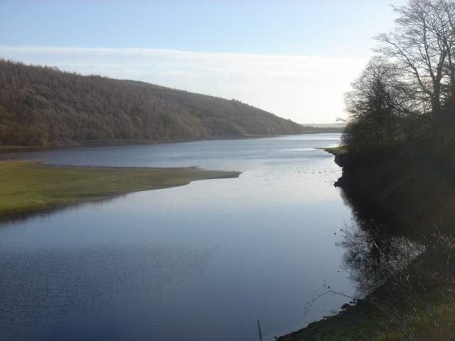
Lindley Wood Reservoir
Lindley Wood Reservoir is located in the Washburn valley north of Otley in Yorkshire, England. == History == The reservoir was built by navvies between...
Farnley, North Yorkshire
Farnley is a village and civil parish in the Harrogate district of North Yorkshire, England, near Otley, West Yorkshire. The name "Farnley" indicates that...
Lindley, North Yorkshire
Lindley is a village and civil parish in the Harrogate district of North Yorkshire, England. It is near Lindley Wood Reservoir and 1 mile north of Otley...

Farnley Hall, North Yorkshire
Farnley Hall is a stately home in Farnley, North Yorkshire, England. It is located near Otley. The original early seventeenth-century house was added to...

Leathley
Leathley is a village and civil parish in the Harrogate district of North Yorkshire, England, the parish includes the townships of both Castley and Leathley...

Wharfedale Rural District
Wharfedale was a rural district in the West Riding of Yorkshire from 1894 to 1974. It comprised the northern side of lower Wharfedale, the lower Washburn...
Newall with Clifton
Newall with Clifton (historically also spelt Newell with Clifton) is a civil parish in North Yorkshire, England. It lies two miles north of Otley in West...

Braythorn
Braythorn is a village in the Harrogate district of North Yorkshire, England.
Nearby Amenities
Located within 500m of 53.937765,-1.6648488Have you been to Coppice Wood?
Leave your review of Coppice Wood below (or comments, questions and feedback).