Folly Plantation
Wood, Forest in Wiltshire
England
Folly Plantation
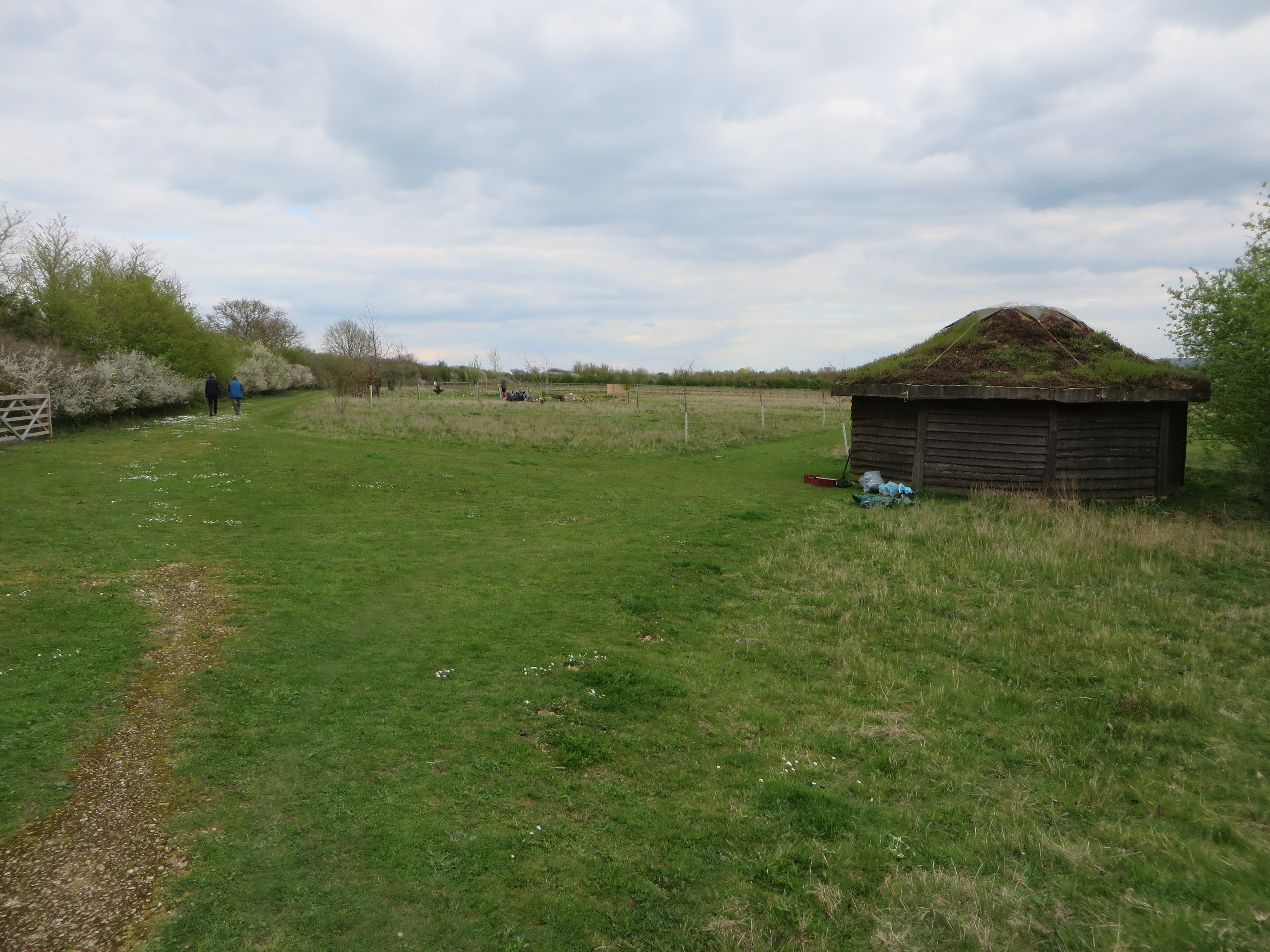
Folly Plantation, located in Wiltshire, England, is a picturesque woodland area known for its natural beauty and historical significance. Spanning approximately 100 acres, this enchanting forest is a popular destination for nature lovers, hikers, and history enthusiasts alike.
The plantation is characterized by its dense canopy of ancient trees, including oak, beech, and ash, which provide a serene and tranquil atmosphere. The lush undergrowth is adorned with a variety of wildflowers, creating a vibrant and colorful landscape during the spring and summer months.
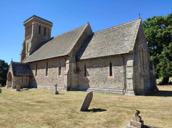
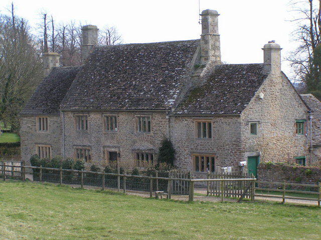
Folly Plantation holds significant historical value, dating back several centuries. It was originally established as a hunting ground for noblemen during the medieval period, and remnants of this era can still be found within the woodland. Visitors can explore the remains of an ancient hunting lodge, as well as the ruins of a medieval chapel, offering a glimpse into the past.
The plantation is also home to an array of wildlife, making it a haven for nature enthusiasts. Deer can often be spotted grazing among the trees, while a diverse range of bird species add melody to the surroundings.
With its rich history and natural splendor, Folly Plantation offers a unique and immersive experience for those seeking a peaceful retreat or a chance to delve into the region's past. Whether strolling through the tranquil forest, exploring the ancient ruins, or simply enjoying the beauty of the surroundings, visitors to Folly Plantation are sure to be captivated by its charm.
If you have any feedback on the listing, please let us know in the comments section below.
Folly Plantation Images
Images are sourced within 2km of 51.618521/-1.6827547 or Grid Reference SU2291. Thanks to Geograph Open Source API. All images are credited.


Folly Plantation is located at Grid Ref: SU2291 (Lat: 51.618521, Lng: -1.6827547)
Unitary Authority: Swindon
Police Authority: Wiltshire
What 3 Words
///dent.hazy.finally. Near Highworth, Wiltshire
Nearby Locations
Related Wikis

Warneford Place
Warneford Place, also known as Sevenhampton Place, is a Grade II listed country house in Sevenhampton, south of Highworth, in Wiltshire, England. The main...
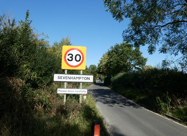
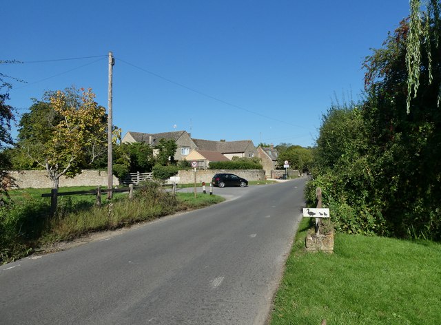
Sevenhampton, Wiltshire
Sevenhampton is a small village in Highworth parish in the borough of Swindon, in the ceremonial county of Wiltshire, England. It is about 1.4 miles (2...
Westmill Woodland Burial Ground
Westmill Woodland Burial Ground is a green burial ground in the Vale of White Horse on the border of Oxfordshire with Wiltshire in southern England. In...

Highworth Warneford School
Highworth Warneford School is a coeducational secondary school in the small town of Highworth, north of Swindon, Wiltshire, England. == History == Warneford...

Westmill Wind Farm Co-operative
Westmill Wind Farm Co-operative Ltd is a community-owned Industrial and Provident Society that owns 100% of the Westmill Wind Farm which is an onshore...
Highworth Town F.C.
Highworth Town Football Club is a football club based in Highworth, Wiltshire, England. They are currently members of the Hellenic League Premier Division...

Highworth
Highworth is a market town and civil parish in the Borough of Swindon, England, about 6 miles (10 km) north-east of Swindon town centre. The 2021 Census...
Shrivenham F.C.
Shrivenham F.C. is a football club based in Shrivenham, an Oxfordshire village, near Swindon, England. They play in the Wiltshire League Premier Division...
Nearby Amenities
Located within 500m of 51.618521,-1.6827547Have you been to Folly Plantation?
Leave your review of Folly Plantation below (or comments, questions and feedback).