Den Beck Wood

Wood, Forest in Yorkshire Harrogate

England

Den Beck Wood

Above the Ure Taken next to the car park north of Grewelthorpe. Paths lead down to the River Ure from here.
Above the Ure Credit: DS Pugh

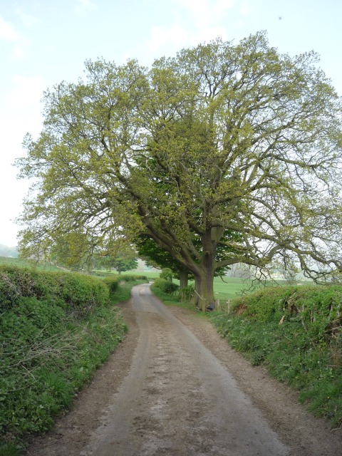
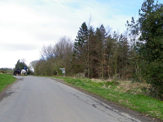
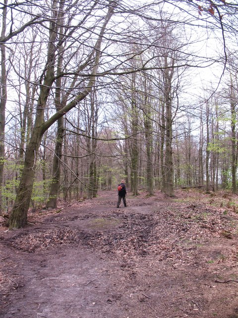
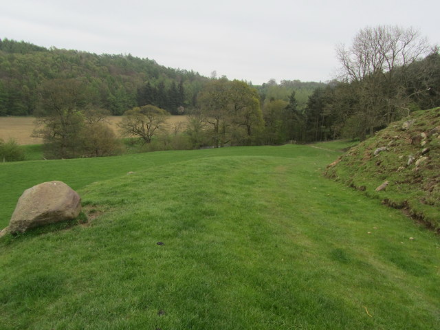
Den Beck Wood is a picturesque woodland located in the county of Yorkshire, England. Situated in the heart of the stunning North York Moors National Park, the wood is a haven for nature lovers and outdoor enthusiasts alike. Covering an area of approximately 20 hectares, the ancient woodland is characterized by its diverse range of flora and fauna, providing a rich and varied habitat.

The wood is primarily composed of native species including oak, birch, and rowan trees, which create a dense canopy, offering shade and protection to the forest floor. Delicate woodland flowers, such as bluebells and primroses, carpet the ground in spring, adding a splash of color to the serene landscape.

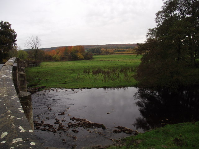
Den Beck, a babbling brook that winds its way through the wood, adds to the enchanting atmosphere. The tranquil sound of water flowing over rocks creates a soothing ambiance, perfect for those seeking a peaceful escape from the hustle and bustle of everyday life.

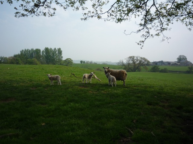
The woodland is home to a wide range of wildlife, including numerous species of birds such as woodpeckers, owls, and tits. Additionally, elusive mammals such as badgers, foxes, and deer can occasionally be spotted amongst the trees.

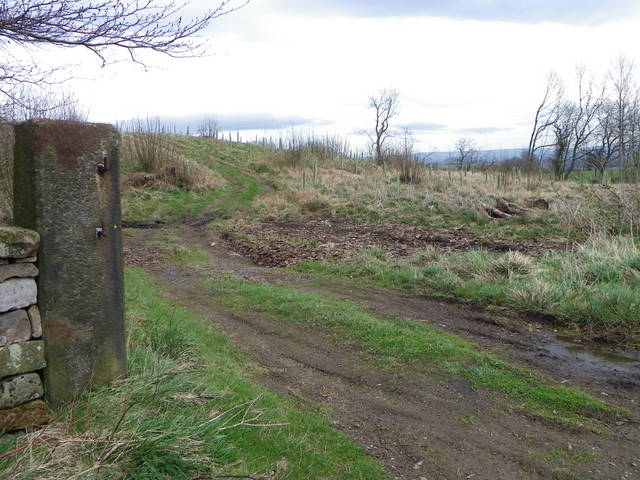
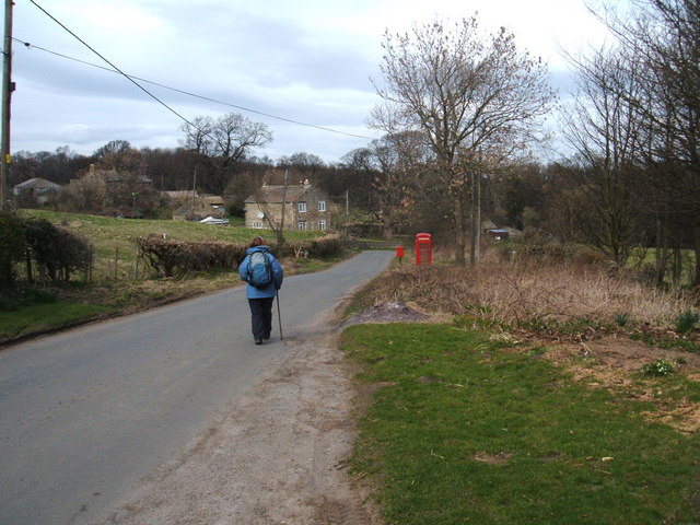
Visitors to Den Beck Wood can explore the area through a network of footpaths and trails, providing opportunities for leisurely walks or more adventurous hikes. The wood offers a sense of tranquility and natural beauty, making it a popular destination for locals and tourists alike.

If you have any feedback on the listing, please let us know in the comments section below.

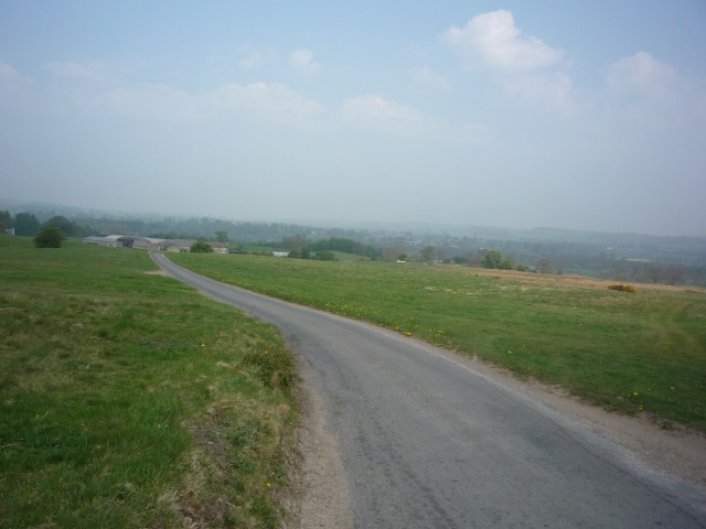
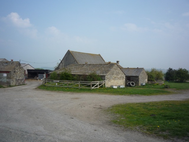
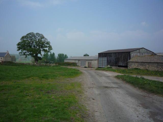
Den Beck Wood Images

Images are sourced within 2km of 54.207434/-1.6635301 or Grid Reference SE2279. Thanks to Geograph Open Source API. All images are credited.

Above the Ure Taken next to the car park north of Grewelthorpe. Paths lead down to the River Ure from here.
Above the Ure
Taken next to the car park north of Grewelthorpe. Paths lead down to the River Ure from here.
Road to Roomer The road to Masham and the road to Roomer & Swinton diverege here.
Road to Roomer
The road to Masham and the road to Roomer & Swinton diverege here.
Farm at Roomer On the road between Grewelthorpe and Swinton.
Farm at Roomer
On the road between Grewelthorpe and Swinton.
Roomer A farm stands between Grewelthorpe and Swinton.
Roomer
A farm stands between Grewelthorpe and Swinton.
Lambs off Roomer Lane A ewe and three lambs between Grewelthorpe and Swinton.
Lambs off Roomer Lane
A ewe and three lambs between Grewelthorpe and Swinton.
Roomer Lane Looking along Roomer Lane, between Grewelthorpe and Swinton.
Roomer Lane
Looking along Roomer Lane, between Grewelthorpe and Swinton.
Swinton Park Now converted to a hotel.
Swinton Park
Now converted to a hotel.
Telephone box, Warthermarske In 1935, the Post Office commissioned a new kiosk from Sir Giles Gilbert Scott to celebrate the Jubilee of King George V.  The K6 Jubilee Kiosk, as it is known, was similar to the K2 box, being made of cast iron and painted red but was 25% lighter in weight.  By the end of the 1930s there were 20,000 K6 telephone boxes in use all over the UK.
Telephone box, Warthermarske
In 1935, the Post Office commissioned a new kiosk from Sir Giles Gilbert Scott to celebrate the Jubilee of King George V. The K6 Jubilee Kiosk, as it is known, was similar to the K2 box, being made of cast iron and painted red but was 25% lighter in weight. By the end of the 1930s there were 20,000 K6 telephone boxes in use all over the UK.
Minor road, Warthermarske The minor road through the hamlet of Warthermarske.
Minor road, Warthermarske
The minor road through the hamlet of Warthermarske.
Road junction near Ilton Straight on for Ilton and left for Cindra How.
Road junction near Ilton
Straight on for Ilton and left for Cindra How.
Post, Warrener Wood On the stone post is an Ordnance Survey bench mark.
Post, Warrener Wood
On the stone post is an Ordnance Survey bench mark.
Bench Mark, Warrener Wood At the base of the stone post is an Ordnance Survey bench mark.  For a view of the post <a href="https://www.geograph.org.uk/photo/2544030">SE2078 : Post, Warrener Wood</a> and for further information on the bench mark and others in the area <span class="nowrap"><a title="http://www.bench-marks.org.uk/bm39028" rel="nofollow ugc noopener" href="http://www.bench-marks.org.uk/bm39028">Link</a><img style="margin-left:2px;" alt="External link" title="External link - shift click to open in new window" src="https://s1.geograph.org.uk/img/external.png" width="10" height="10"/></span>
Bench Mark, Warrener Wood
At the base of the stone post is an Ordnance Survey bench mark. For a view of the post SE2078 : Post, Warrener Wood and for further information on the bench mark and others in the area LinkExternal link
Low Burn Bridge over the River Burn near Masham
Woodland track, Nutwith Common Woodland track in Oak Bank Gill on the edge of Nutwith Common. The track is also a public footpath.
Woodland track, Nutwith Common
Woodland track in Oak Bank Gill on the edge of Nutwith Common. The track is also a public footpath.
Pines on Oak Bank Plenty of pine trees on Oak Bank, but little evidence of oaks. Looking back through old OS maps, it appears that this eastern end of Nutwith Common has been wooded for a very long time [at least since the mid 19thC]. However, the major part of the common appears to have had few trees until after 1956, the present extensive plantations not appearing on maps until the 1970's.
Pines on Oak Bank
Plenty of pine trees on Oak Bank, but little evidence of oaks. Looking back through old OS maps, it appears that this eastern end of Nutwith Common has been wooded for a very long time [at least since the mid 19thC]. However, the major part of the common appears to have had few trees until after 1956, the present extensive plantations not appearing on maps until the 1970's.
Hutts Gill Hutts Gill appears to be the name for both valley and beck. The valley is deep and steep sided, whilst the beck is tiny. The topography here suggests that this is a glacial meltwater channel, one of many on the eastern fringe of the Pennines.
Hutts Gill
Hutts Gill appears to be the name for both valley and beck. The valley is deep and steep sided, whilst the beck is tiny. The topography here suggests that this is a glacial meltwater channel, one of many on the eastern fringe of the Pennines.
Woodland path, Nutwith Common This should be the line of the public footpath through the woodland on Nutwith Common, but the walked route is often the driest rather than as shown on the map.
Woodland path, Nutwith Common
This should be the line of the public footpath through the woodland on Nutwith Common, but the walked route is often the driest rather than as shown on the map.
Approaching Nutwith Cote Wood A green track descends towards woodland and the River Ure, just south of Nutwith Cote.
Approaching Nutwith Cote Wood
A green track descends towards woodland and the River Ure, just south of Nutwith Cote.
Show me another place!

Den Beck Wood is located at Grid Ref: SE2279 (Lat: 54.207434, Lng: -1.6635301)

Division: North Riding

Administrative County: North Yorkshire

District: Harrogate

Police Authority: North Yorkshire

What 3 Words

///shameless.lunch.coveted. Near Masham, North Yorkshire

Related Wikis

Swinton, Harrogate

Swinton is a small village in the Harrogate district of North Yorkshire, England. It is situated to the immediate south-west of Masham and separated from...

Swinton Estate

The Swinton Estate is a large privately owned estate in North Yorkshire, England. It comprises some 20,000 acres (8,100 ha) of countryside in the Nidderdale...

Warthermarske

Warthermarske is a hamlet in the Harrogate borough of North Yorkshire, England. It is near Swinton, about 1 mile (2 km) south-west of Masham. The village...

Swinton with Warthermarske

Swinton with Warthermarske is a civil parish in Harrogate district, North Yorkshire, England. The parish includes the village of Swinton and the hamlets...

Church of St Mary the Virgin, Masham

The Church of St Mary the Virgin, Masham (also known as the Church of St Mary or St Mary's Church), is the parish church in the town of Masham, North Yorkshire...
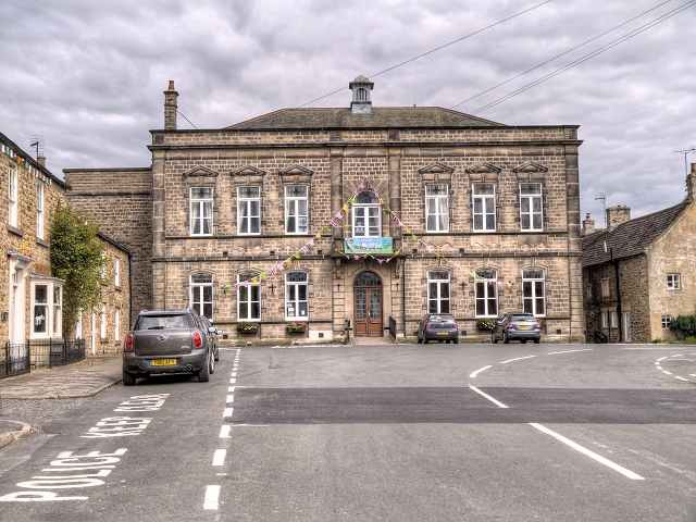
Masham Town Hall

Masham Town Hall is a municipal building in the Little Market Place, Masham, North Yorkshire, England. The structure, which is used as an events venue...
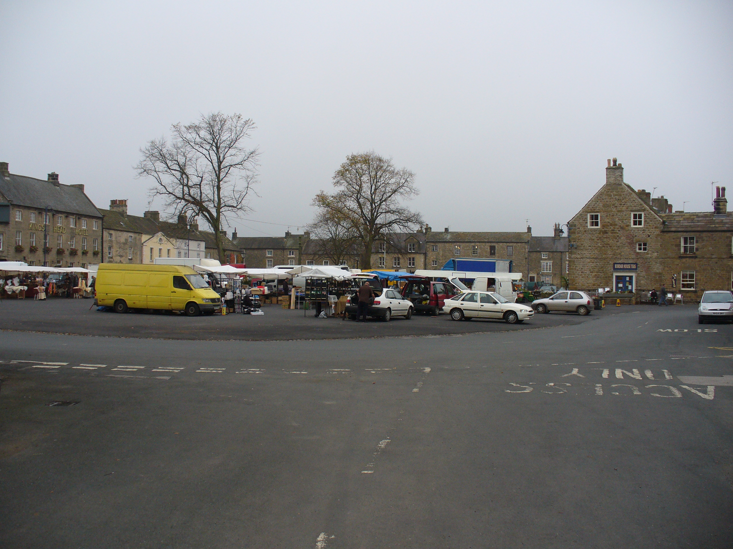
Masham

Masham ( MASS-əm) is a market town and civil parish in North Yorkshire, England. It had a population of 1,205 at the 2011 census. == Etymology == In Wensleydale...
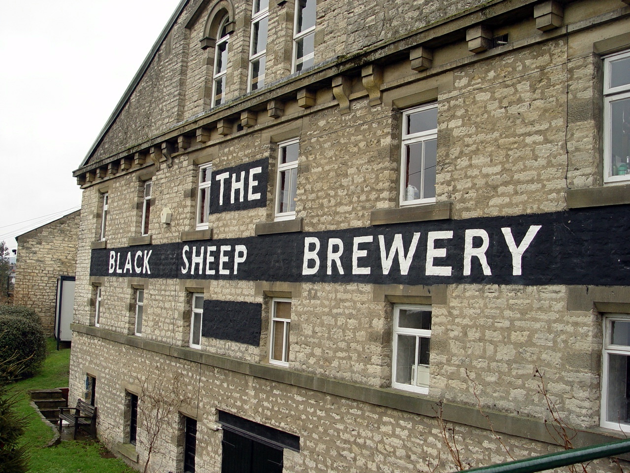
Black Sheep Brewery

The Black Sheep Brewery is a brewery in Masham, North Yorkshire, England. == History == The Black Sheep Brewery was established by Paul Theakston in 1991...

Nearby Amenities

Located within 500m of 54.207434,-1.6635301
Place: farm
Lat/Long: 54.2050271/-1.6591759
Power: pole
Lat/Long: 54.2110636/-1.6654395
Power: pole
Lat/Long: 54.2101945/-1.6652249
Power: pole
Lat/Long: 54.2093236/-1.665368
Power: pole
Lat/Long: 54.2084203/-1.6654948
Power: pole
Lat/Long: 54.2075208/-1.6656054
Power: pole
Lat/Long: 54.2066174/-1.6657582
Power: pole
Lat/Long: 54.204881/-1.6659985
Power: pole
Lat/Long: 54.2040804/-1.6661094
Power: pole
Lat/Long: 54.2031922/-1.6658005
Power: pole
Lat/Long: 54.2050941/-1.6672084
Power: pole
Lat/Long: 54.2053661/-1.6689025
Power: pole
Lat/Long: 54.2052513/-1.6602335
Power: pole
Lat/Long: 54.2055799/-1.6619143
Power: pole
Lat/Long: 54.2059257/-1.6636611
Power: pole
Lat/Long: 54.2061515/-1.6647702
The data included in this document is from www.openstreetmap.org. The data is made available under ODbL.

Have you been to Den Beck Wood?

Leave your review of Den Beck Wood below (or comments, questions and feedback).