Brook Wood
Wood, Forest in Yorkshire Richmondshire
England
Brook Wood
Brook Wood, located in Yorkshire, England, is a picturesque forest renowned for its scenic beauty and rich biodiversity. Spread across a vast area, the wood is a captivating blend of ancient trees, tranquil streams, and diverse wildlife.
The wood boasts a diverse range of tree species, with oak, beech, and birch dominating the landscape. These majestic trees create a dense canopy that filters sunlight, resulting in a magical play of light and shadow. The forest floor is adorned with a vibrant carpet of wildflowers, ferns, and mosses, adding to its enchanting charm.
Brook Wood is intersected by a babbling brook, from which it derives its name. The stream meanders through the forest, creating small cascades and pools that provide a habitat for various aquatic plants and animals. The soothing sound of running water complements the serene ambiance of the wood, making it a perfect spot for relaxation and contemplation.
The wood is also a haven for wildlife enthusiasts and nature lovers. It is home to numerous species of birds, including woodpeckers, owls, and warblers, which can be spotted perched on tree branches or heard singing their melodious tunes. Additionally, the forest provides a habitat for mammals such as deer, foxes, and badgers, which can be observed in their natural habitat.
Brook Wood offers a range of recreational activities for visitors, including walking trails, picnic areas, and nature photography opportunities. Its idyllic setting makes it a popular destination for hikers, families, and nature enthusiasts alike, seeking solace in the tranquility of the forest.
In summary, Brook Wood in Yorkshire is a captivating forest that showcases the beauty of nature at its finest. With its ancient trees, babbling brook, and diverse wildlife, it offers a serene escape from the hustle and bustle of everyday life.
If you have any feedback on the listing, please let us know in the comments section below.
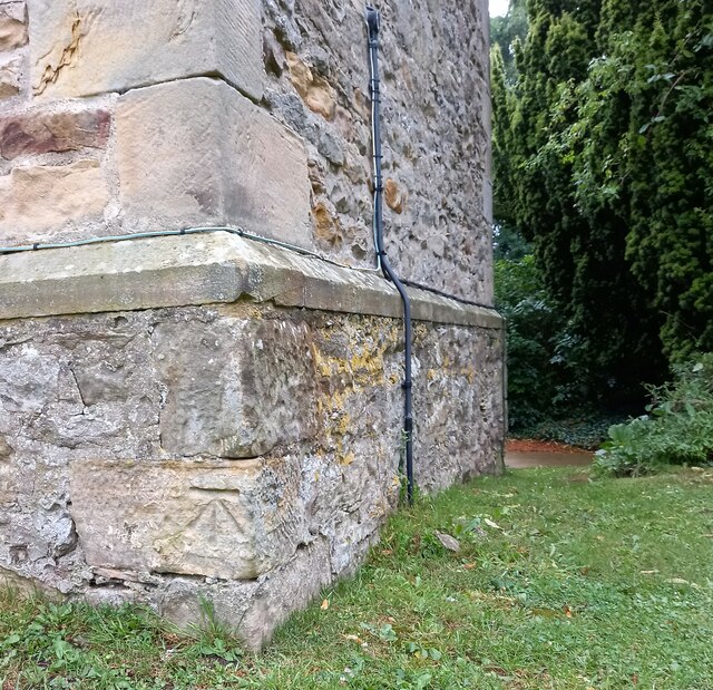
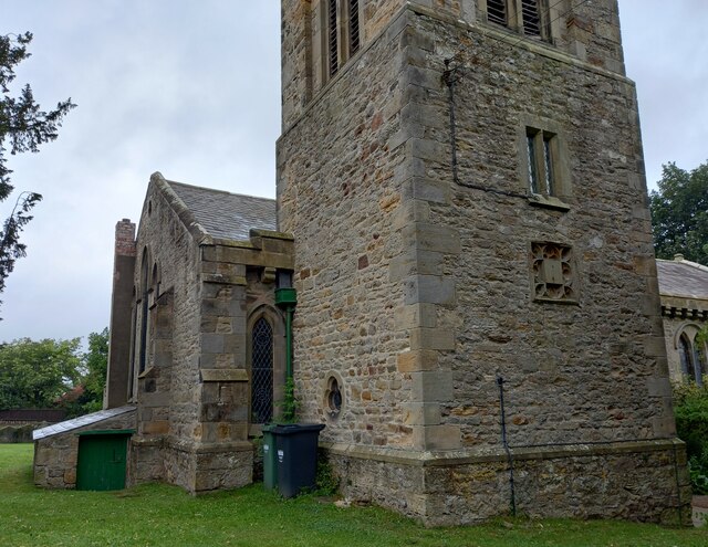
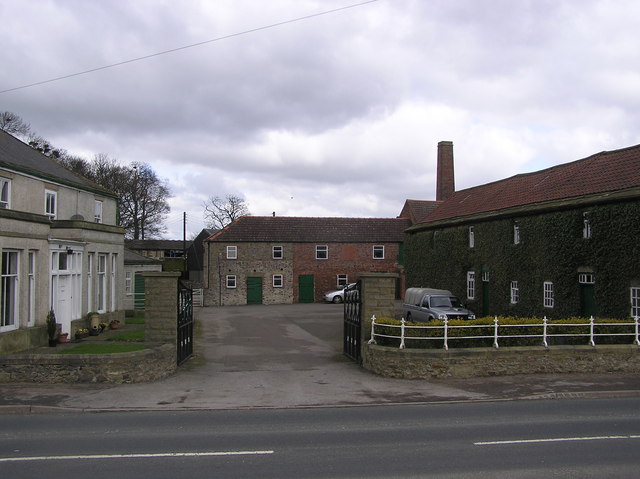
Brook Wood Images
Images are sourced within 2km of 54.487054/-1.6641576 or Grid Reference NZ2110. Thanks to Geograph Open Source API. All images are credited.


Brook Wood is located at Grid Ref: NZ2110 (Lat: 54.487054, Lng: -1.6641576)
Division: North Riding
Administrative County: North Yorkshire
District: Richmondshire
Police Authority: North Yorkshire
What 3 Words
///instead.shook.laser. Near High Coniscliffe, Co. Durham
Nearby Locations
Related Wikis

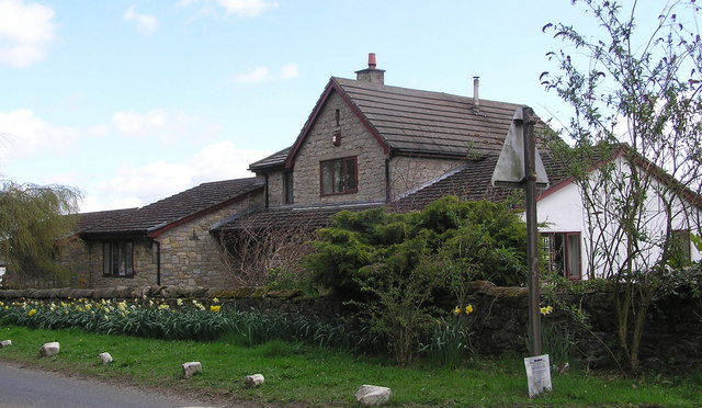
Aldbrough St John
Aldbrough St John is a village and civil parish (called just Aldbrough) in the Richmondshire district in North Yorkshire, England. The parish has a population...

Barton, North Yorkshire
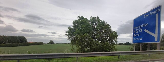
Barton is a village and civil parish in the Richmondshire district of North Yorkshire, England. According to the 2011 census it had a population of 837...
Newton Morrell
Newton Morrell is a village and civil parish in the Richmondshire district of North Yorkshire, England. It is 6 miles (9 km) from Darlington and 2 miles...
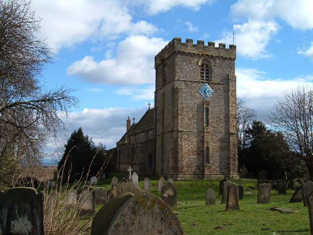
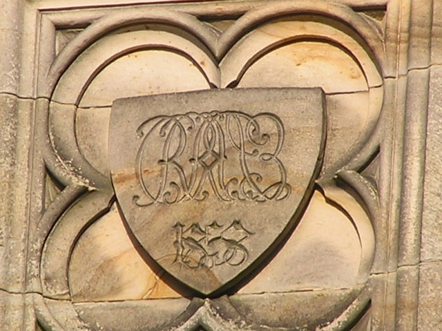
St James' Church, Melsonby
St James' Church is in the village of Melsonby, North Yorkshire, England. It is an Anglican parish church in the deanery of Richmond, the archdeaconry...

Melsonby
Melsonby is a village and civil parish in the Richmondshire district of North Yorkshire, England. It lies a 1.2 miles (2 km) west of the A1(M) motorway...

Manfield
Manfield is a village and civil parish in the Richmondshire district of North Yorkshire, England. It is a parish in the wapentake of Gilling East. The...

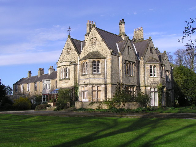
Middleton Lodge
Middleton Lodge is a Georgian Palladian mansion set within 200 acres (0.81 km2) of open countryside, on the outskirts of the village of Middleton Tyas...

Stanwick St John
Stanwick St John is a village, civil parish, former manor and ecclesiastical parish in the Richmondshire district of North Yorkshire, (formerly "North...
Nearby Amenities
Located within 500m of 54.487054,-1.6641576Have you been to Brook Wood?
Leave your review of Brook Wood below (or comments, questions and feedback).