Ash Wood

Wood, Forest in Yorkshire Richmondshire

England

Ash Wood

A685 near  Patrick Brompton
A685 near Patrick Brompton Credit: David Dixon

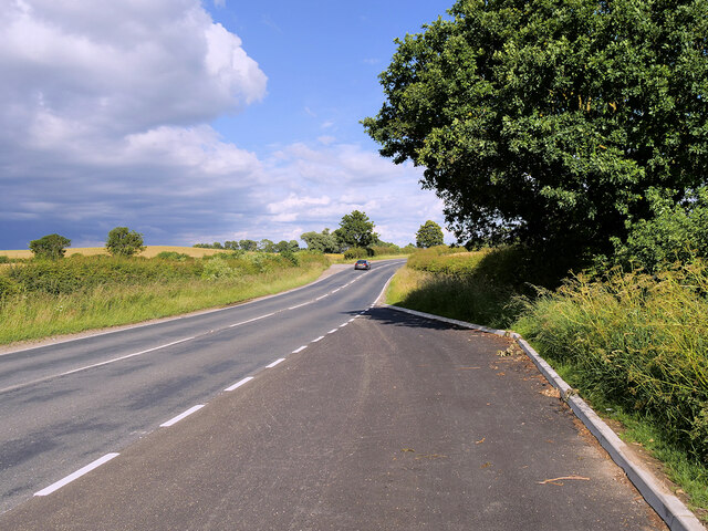
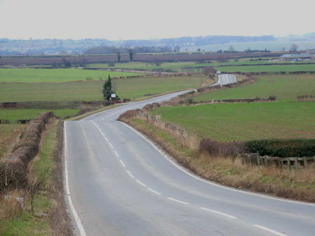
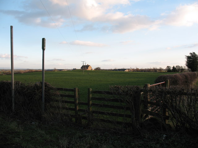
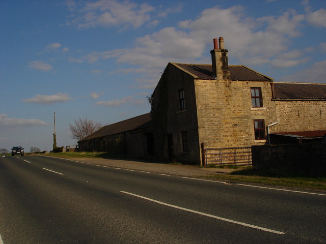
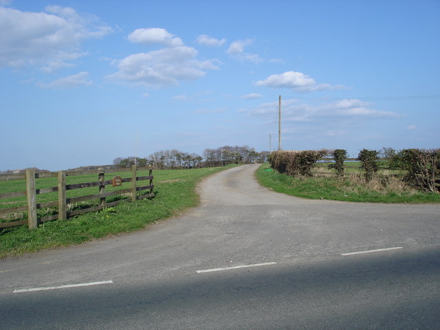
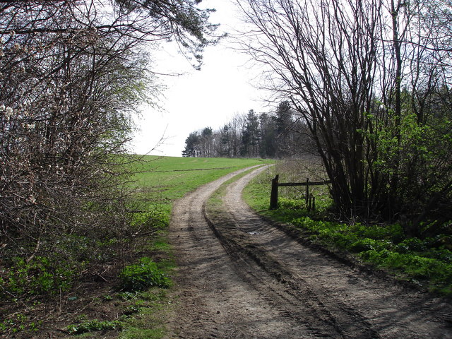
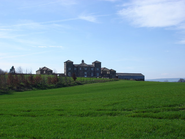
Ash Wood is a picturesque forest located in the county of Yorkshire, England. Spanning over a vast area, this woodland is renowned for its abundant ash trees, hence the name. The forest is a natural haven, offering visitors an opportunity to immerse themselves in the tranquility and beauty of nature.

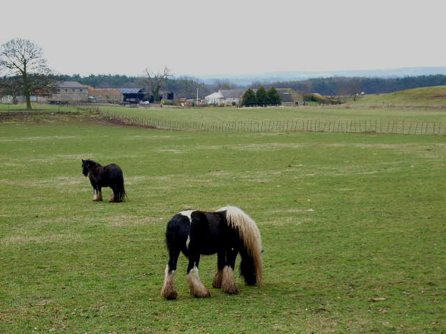
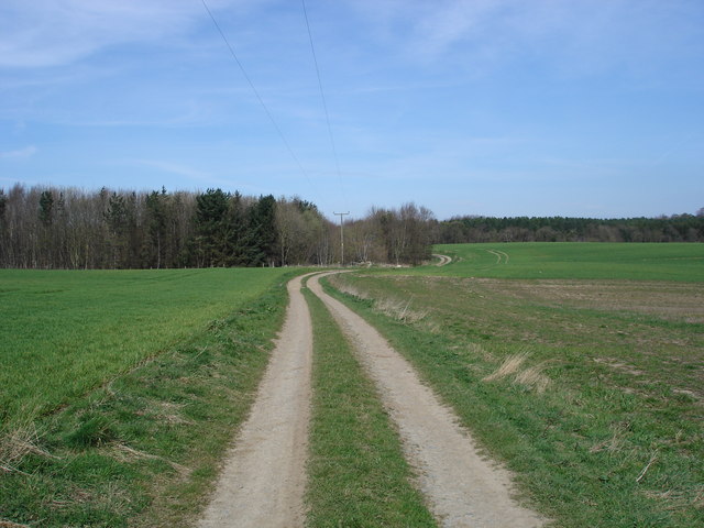
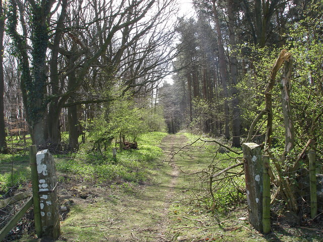
Ash Wood boasts a diverse range of flora and fauna, making it a popular destination for nature enthusiasts and avid hikers. The forest floor is carpeted with a variety of wildflowers, adding vibrant splashes of color to the green surroundings. The towering ash trees create a dense canopy, providing shade and shelter for a multitude of wildlife species.

The forest is home to a rich assortment of creatures, including deer, foxes, badgers, and a plethora of bird species. Visitors may catch glimpses of these animals as they explore the network of trails that wind through the woodland. Birdwatchers will be particularly delighted by the opportunity to spot species such as tawny owls, woodpeckers, and various warblers.

Ash Wood offers a range of recreational activities, catering to both outdoor enthusiasts and families. The forest is equipped with well-maintained picnic areas, allowing visitors to enjoy a scenic lunch surrounded by the serenity of nature. Additionally, the woodland features designated camping sites, providing a unique opportunity for overnight stays amidst the tranquil surroundings.

Overall, Ash Wood in Yorkshire provides a peaceful retreat for those seeking to escape the hustle and bustle of modern life. Its natural beauty, diverse wildlife, and recreational facilities make it a must-visit destination for nature lovers and outdoor adventurers alike.

If you have any feedback on the listing, please let us know in the comments section below.
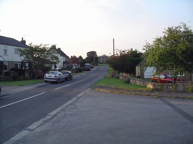
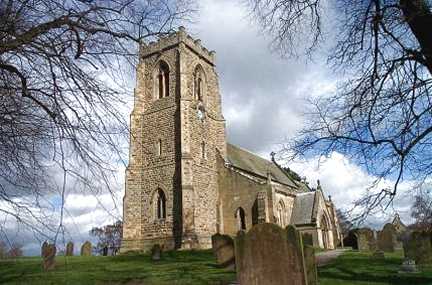
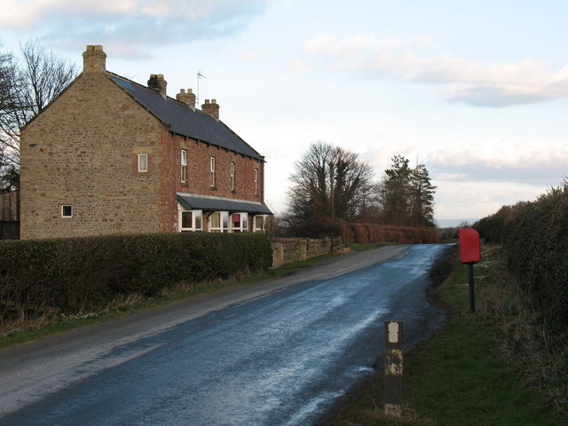
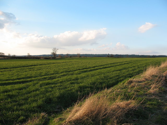
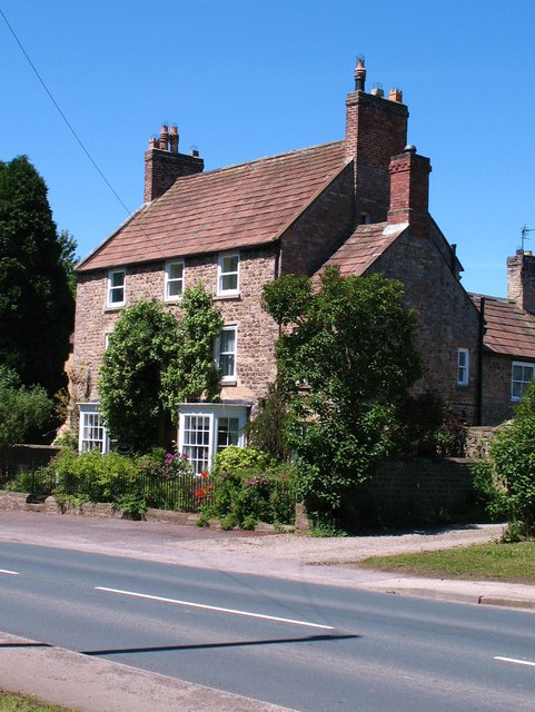
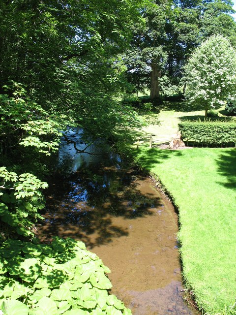
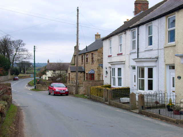
Ash Wood Images

Images are sourced within 2km of 54.319326/-1.6667846 or Grid Reference SE2191. Thanks to Geograph Open Source API. All images are credited.

A685 near  Patrick Brompton
A685 near Patrick Brompton
Home Farm, Hornby
Home Farm, Hornby
Road from Scotton to Patrick Brompton Looking south
Road from Scotton to Patrick Brompton
Looking south
The Old School Room & St. Patrick's church On the very bottom of the picture is the A684 up the dale
The Old School Room & St. Patrick's church
On the very bottom of the picture is the A684 up the dale
Patrick Brompton Typical Wensleydale village.The original settlement of Patrick Brompton was founded, and named after, the parish church of Saint Patrick, which dates back to the times of the Norman Conquest and still stands on the western edge of the village.  There are two village greens, one ancient, one modern, and a local pub built in the 17th century, originally as a vicarage for the local priest.
Patrick Brompton
Typical Wensleydale village.The original settlement of Patrick Brompton was founded, and named after, the parish church of Saint Patrick, which dates back to the times of the Norman Conquest and still stands on the western edge of the village. There are two village greens, one ancient, one modern, and a local pub built in the 17th century, originally as a vicarage for the local priest.
Patrick Brompton, St Patrick's Church
Cottages and postbox by country lane. A quiet country lane near Hunton.  Brick faced cottages with 'railway' slate roofs.
Cottages and postbox by country lane.
A quiet country lane near Hunton. Brick faced cottages with 'railway' slate roofs.
Agricultural Land at Patrick Brompton A field of winter wheat on the north side of the village.
Agricultural Land at Patrick Brompton
A field of winter wheat on the north side of the village.
Footpath to Hunter's Hill Farm Path across pastureland in Crakehall parish.
Footpath to Hunter's Hill Farm
Path across pastureland in Crakehall parish.
Grazing Nook Farm Taken from the A684, facing east.
Grazing Nook Farm
Taken from the A684, facing east.
Entrance to Carnaby House Farm Entrance to Carnaby House Farm, with the farm buildings just visible in the trees
Entrance to Carnaby House Farm
Entrance to Carnaby House Farm, with the farm buildings just visible in the trees
Woodland path south of Hornby Leaving the woods, south of Hornby, on the way to Arbour Hill Farm.
Woodland path south of Hornby
Leaving the woods, south of Hornby, on the way to Arbour Hill Farm.
Arbour Hill Farm The rather grand farmhouse at Arbour Hill, looking for all the world like a miniature Castle Howard!
Arbour Hill Farm
The rather grand farmhouse at Arbour Hill, looking for all the world like a miniature Castle Howard!
Path close to Arbour Hill Taken from the same spot as my picture of Arbour Hill, looking north.
Path close to Arbour Hill
Taken from the same spot as my picture of Arbour Hill, looking north.
Woodland Path The path through the woodlands south of Hornby.
Woodland Path
The path through the woodlands south of Hornby.
Brompton Road
Brompton Road
The Old Rectory, Patrick Brompton Eighteenth century stone built house in the centre of the village.
The Old Rectory, Patrick Brompton
Eighteenth century stone built house in the centre of the village.
Brompton Beck Not the only Brompton Beck in North Yorkshire, this one runs through Patrick Brompton and is one of the feeders for Bedale Beck which joins the Swale.
Brompton Beck
Not the only Brompton Beck in North Yorkshire, this one runs through Patrick Brompton and is one of the feeders for Bedale Beck which joins the Swale.
Show me another place!

Ash Wood is located at Grid Ref: SE2191 (Lat: 54.319326, Lng: -1.6667846)

Division: North Riding

Administrative County: North Yorkshire

District: Richmondshire

Police Authority: North Yorkshire

What 3 Words

///ladder.growth.laughs. Near Bedale, North Yorkshire

Nearby Locations

Firth Plantation Ash Wood

Related Wikis

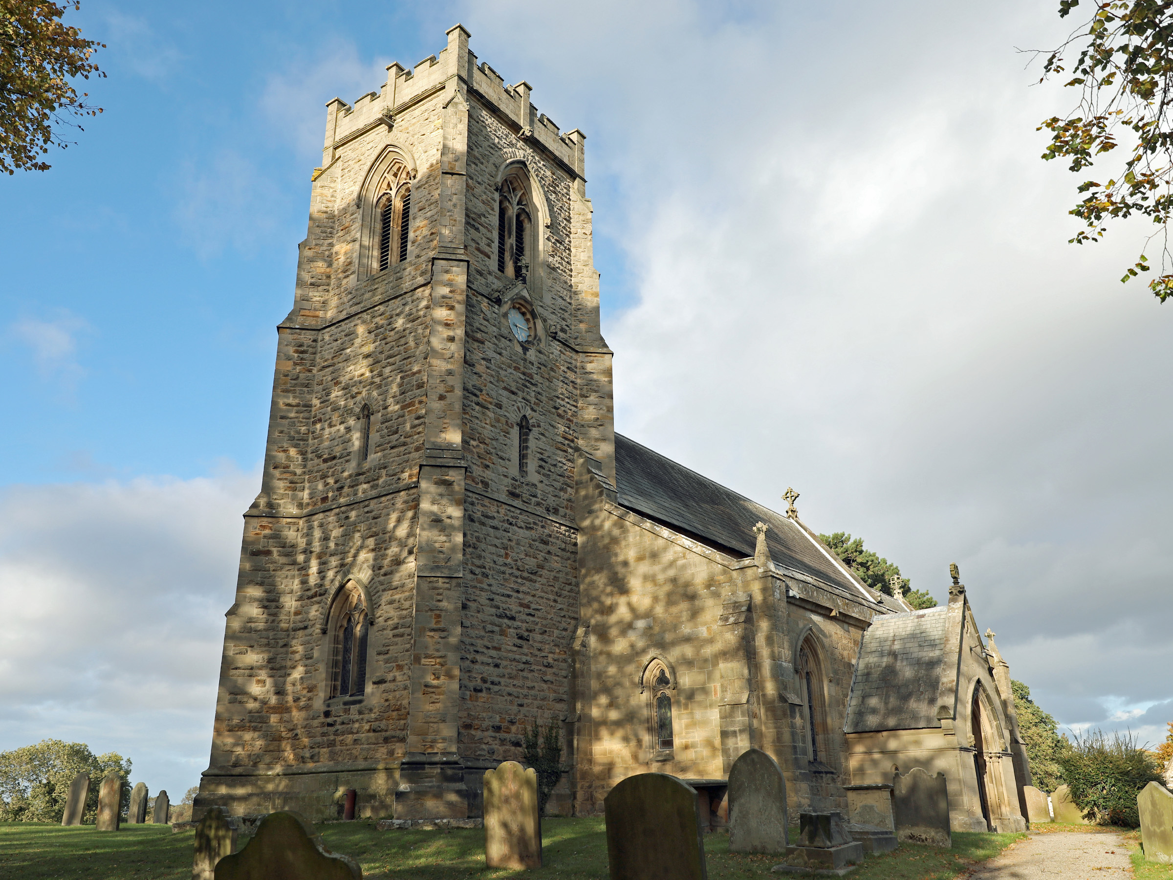
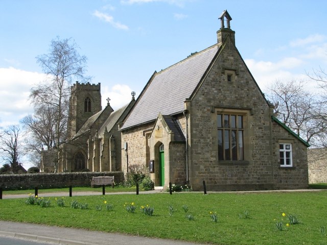
Church of St Patrick, Patrick Brompton

The Church of St Patrick, is the parish church for the village and parish of Patrick Brompton in North Yorkshire, England. The church is one of six in...

Patrick Brompton

Patrick Brompton is a village and civil parish in North Yorkshire, England. Patrick Brompton is situated about 4 miles (6.4 km) west of Bedale. It lies...

Newton-le-Willows, North Yorkshire

Newton-le-Willows is a village and civil parish in the Richmondshire district of North Yorkshire, England, 3 miles (4.8 km) west of Bedale. Historically...

Church of St Mary the Virgin, Hornby

St Mary's Church Hornby, is the parish church for the village of Hornby, Richmondshire in North Yorkshire, England. The church is one of six in the Benefice...

Jervaulx railway station

Jervaulx railway station was a railway station in Newton-le-Willows, North Yorkshire, England. Originally named after this place, it was renamed after...

Hornby, Richmondshire

Hornby is a small village and civil parish located about 4 miles (6.4 km) north-west of Bedale. It is part of the non-metropolitan district of Richmondshire...

Hornby Castle, North Yorkshire

Hornby Castle is a grade I listed fortified manor house on the edge of Wensleydale between Bedale and Leyburn, in the county of North Yorkshire, England...

Arrathorne

Arrathorne is a hamlet and civil parish in the former Richmondshire district of North Yorkshire, England. The settlement is 6 miles (9 km) south of Richmond...

Nearby Amenities

Located within 500m of 54.319326,-1.6667846
Power: pole
Lat/Long: 54.316347/-1.6719413
Power: pole
Lat/Long: 54.31636/-1.6694338
Power: pole
Lat/Long: 54.316377/-1.6706126
Power: pole
Lat/Long: 54.3163809/-1.666801
Power: pole
Lat/Long: 54.3163822/-1.668161
Power: pole
Lat/Long: 54.3163913/-1.6654231
Power: pole
Lat/Long: 54.3164801/-1.6719063
Power: pole
Lat/Long: 54.3164832/-1.6644486
Power: pole
Lat/Long: 54.3164835/-1.670633
Power: pole
Lat/Long: 54.3165004/-1.6694467
Power: pole
Lat/Long: 54.3165088/-1.6668422
Power: pole
Lat/Long: 54.3165241/-1.6654065
Power: pole
Lat/Long: 54.3165997/-1.6633213
Power: pole
Lat/Long: 54.3166254/-1.6645701
Power: pole
Lat/Long: 54.3167296/-1.6634363
Power: pole
Lat/Long: 54.316795/-1.6612197
Power: pole
Lat/Long: 54.3168397/-1.6624387
Carnaby House
Place: farm
Lat/Long: 54.3193393/-1.6707319
The data included in this document is from www.openstreetmap.org. The data is made available under ODbL.

Have you been to Ash Wood?

Leave your review of Ash Wood below (or comments, questions and feedback).