Chase Woods
Wood, Forest in Wiltshire
England
Chase Woods
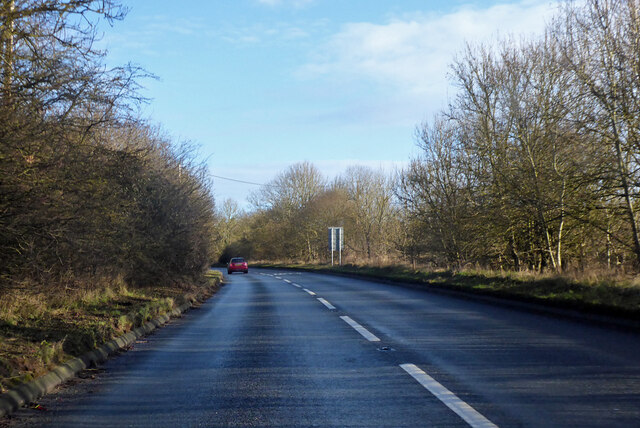
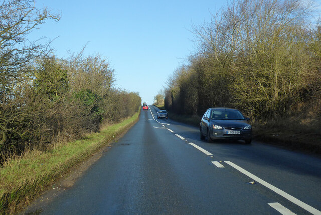
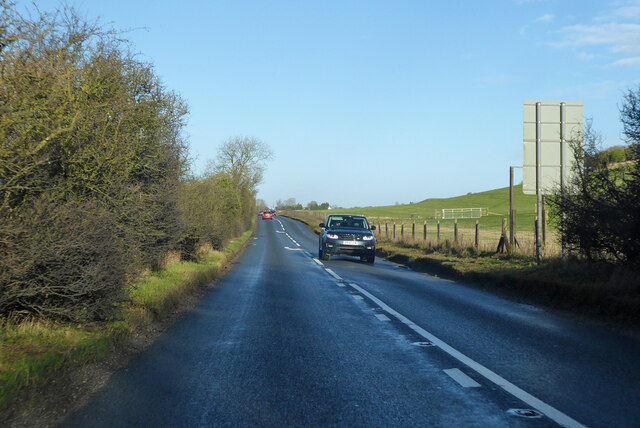
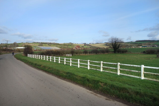
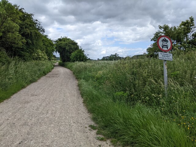
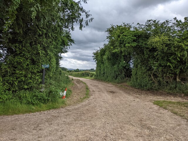
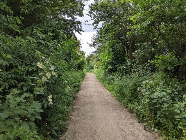
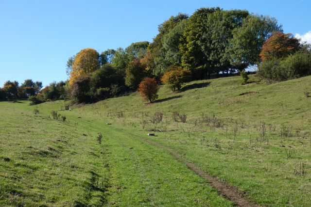
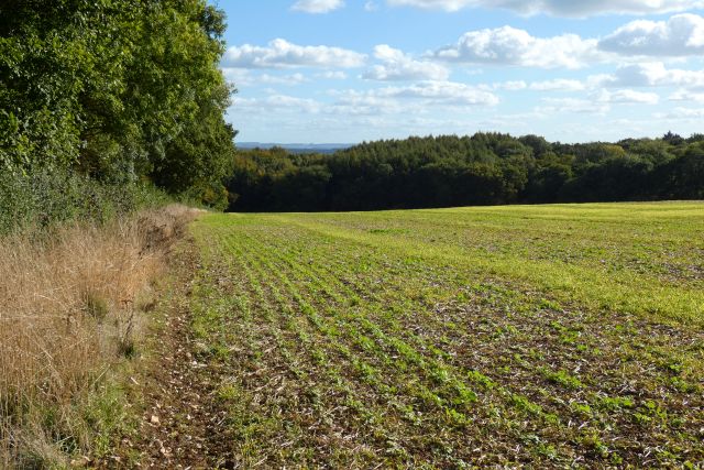
Chase Woods, located in Wiltshire, England, is a picturesque woodland area characterized by its dense trees and serene surroundings. Spanning over a vast expanse, this forested region is a haven for nature enthusiasts and offers a multitude of recreational activities for visitors to enjoy.
The woods are predominantly composed of deciduous trees, such as oak, beech, and birch, which create a lush and vibrant canopy during the summer months. The forest floor is adorned with an array of wildflowers, ferns, and mosses, adding to the area's natural beauty.
Chase Woods is home to an abundance of wildlife, making it a popular spot for birdwatchers and animal lovers. Bird species such as blue tits, robins, and woodpeckers can be spotted among the treetops, while rabbits, squirrels, and deer roam freely through the undergrowth.
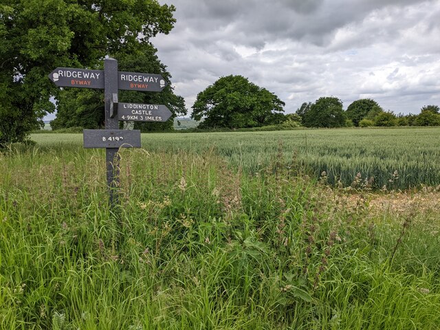
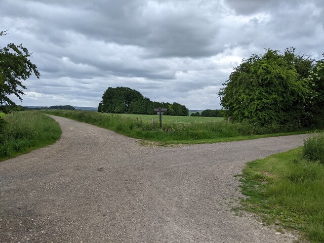
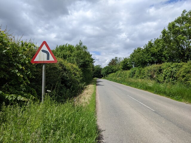
Visitors to Chase Woods can enjoy a variety of outdoor activities. There are numerous walking trails and cycling paths that wind through the forest, providing opportunities for exploration and exercise. Additionally, the woods are equipped with designated picnic areas and barbecue spots, making it an ideal location for family outings and social gatherings.
Chase Woods also holds historical significance, with remnants of ancient settlements and medieval structures scattered throughout the area. Archaeological sites, including burial mounds and stone circles, offer a glimpse into the region's rich past.
Overall, Chase Woods, Wiltshire is a captivating woodland retreat that showcases the natural beauty and cultural heritage of the region. Whether it's for a leisurely stroll, a picnic, or wildlife spotting, this forested expanse provides an enchanting escape from the hustle and bustle of everyday life.
If you have any feedback on the listing, please let us know in the comments section below.
Chase Woods Images
Images are sourced within 2km of 51.473225/-1.6880532 or Grid Reference SU2174. Thanks to Geograph Open Source API. All images are credited.

![Ogbourne St George houses [11] Park Cottage, High Street, was built in the early 19th century. Constructed of stone under a thatch roof.
Ogbourne St George is a village in the valley of the River Og in Wiltshire. It is sited just off the Roman Road from Cirencester to Winchester, about 7 miles south of Swindon and some 3¼ miles north of Marlborough. The name derives from the Saxon 'Oceburnan' or 'Oc[c]a's stream'. There is a great deal of evidence of prehistoric, Roman and medieval activity including Neolithic flint tools, Iron Age coins, Romano-British coins and pottery and medieval pottery fragments. Ogbourne St George today is a commuter village.](https://s2.geograph.org.uk/geophotos/07/40/99/7409902_29a60c37.jpg)
![Ogbourne St George ways [3] From High Street, this footpath leads, via a network of Rights of Way, to Southend and on to Ogbourne St Andrew.
Ogbourne St George is a village in the valley of the River Og in Wiltshire. It is sited just off the Roman Road from Cirencester to Winchester, about 7 miles south of Swindon and some 3¼ miles north of Marlborough. The name derives from the Saxon 'Oceburnan' or 'Oc[c]a's stream'. There is a great deal of evidence of prehistoric, Roman and medieval activity including Neolithic flint tools, Iron Age coins, Romano-British coins and pottery and medieval pottery fragments. Ogbourne St George today is a commuter village.](https://s0.geograph.org.uk/geophotos/07/40/99/7409904_5adda0eb.jpg)
![Ogbourne St George houses [12] The Park, formerly Park House, High Street, is set gable end to the street. The rear range was built in the late 18th or early 19th century of diaper brick. The front range, seen here, in red brick with a rendered facade, is mid 19th century. There is a late 19th century wing to the right. All are under tile roofs. There is a fine Tuscan portico with flanking bay windows. There is another image of the house at <a href="https://www.geograph.org.uk/photo/7410627">SU2074 : Ogbourne St George houses [13]</a>. Listed, grade II, with details at: <span class="nowrap"><a title="https://historicengland.org.uk/listing/the-list/list-entry/1365941" rel="nofollow ugc noopener" href="https://historicengland.org.uk/listing/the-list/list-entry/1365941">Link</a><img style="margin-left:2px;" alt="External link" title="External link - shift click to open in new window" src="https://s1.geograph.org.uk/img/external.png" width="10" height="10"/></span>
Ogbourne St George is a village in the valley of the River Og in Wiltshire. It is sited just off the Roman Road from Cirencester to Winchester, about 7 miles south of Swindon and some 3¼ miles north of Marlborough. The name derives from the Saxon &#039;Oceburnan&#039; or &#039;Oc[c]a&#039;s stream&#039;. There is a great deal of evidence of prehistoric, Roman and medieval activity including Neolithic flint tools, Iron Age coins, Romano-British coins and pottery and medieval pottery fragments. Ogbourne St George today is a commuter village.](https://s2.geograph.org.uk/geophotos/07/41/06/7410626_f9ffaef2.jpg)
Chase Woods is located at Grid Ref: SU2174 (Lat: 51.473225, Lng: -1.6880532)
Unitary Authority: Wiltshire
Police Authority: Wiltshire
What 3 Words
///brains.foreheads.stem. Near Aldbourne, Wiltshire
Nearby Locations
Related Wikis

Battle of Aldbourne Chase
The Battle of Aldbourne Chase was a relatively small battle of the First English Civil War that occurred on 18 September 1643. In the skirmish the Royalist...
Woodsend
Woodsend is a hamlet in the civil parish of Aldbourne in Wiltshire, England. Its nearest town is Marlborough, which is approximately 4.5 miles (7.2 km...
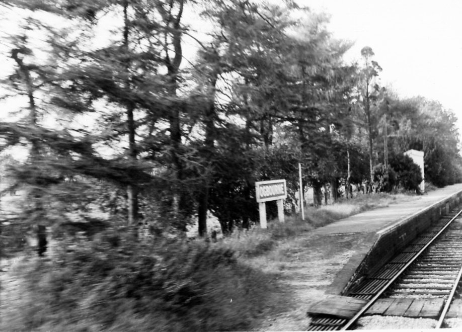
Ogbourne railway station
Ogbourne railway station was on the Midland and South Western Junction Railway in Wiltshire, England. The station opened on 27 July 1881 on the Swindon...

Snap, Wiltshire
Snap is an abandoned village near Aldbourne in Wiltshire, England. It is unusual in that it was not abandoned until the 20th century. The village was...
Nearby Amenities
Located within 500m of 51.473225,-1.6880532Have you been to Chase Woods?
Leave your review of Chase Woods below (or comments, questions and feedback).