Hazel Bank Plantation
Wood, Forest in Durham
England
Hazel Bank Plantation
The requested URL returned error: 429 Too Many Requests
If you have any feedback on the listing, please let us know in the comments section below.
Hazel Bank Plantation Images
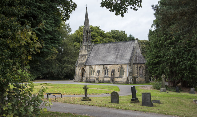
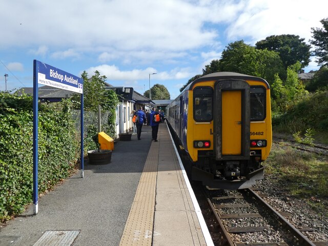
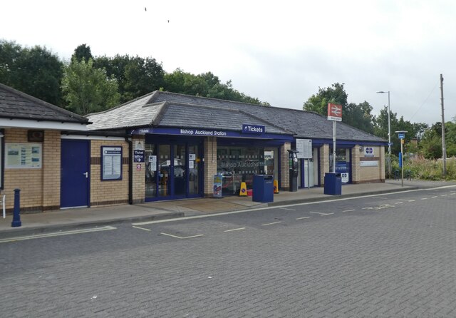
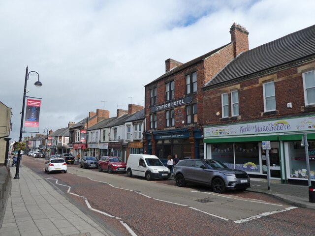
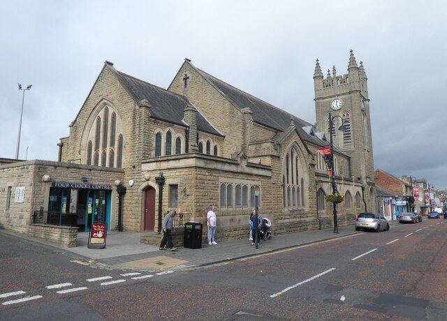
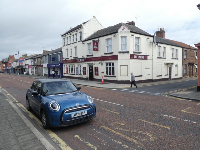
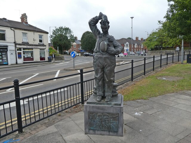
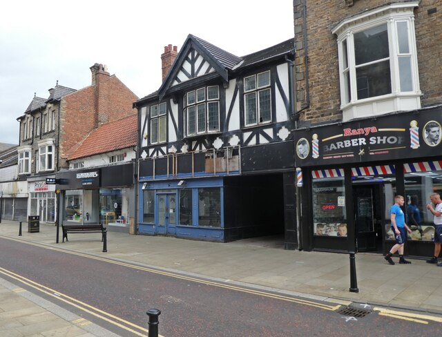
Images are sourced within 2km of 54.67283/-1.6643333 or Grid Reference NZ2130. Thanks to Geograph Open Source API. All images are credited.

Hazel Bank Plantation is located at Grid Ref: NZ2130 (Lat: 54.67283, Lng: -1.6643333)
Unitary Authority: County Durham
Police Authority: Durham
What 3 Words
///skyrocket.method.humid. Near Bishop Auckland, Co. Durham
Nearby Locations
Related Wikis

River Gaunless
The Gaunless is a tributary river of the Wear in County Durham, England. Its name is Old Norse, meaning "useless". The Gaunless Viaduct, built in 1825...

Auckland Castle
Auckland Castle, also known as Auckland Palace, is a former bishop's palace located in the town of Bishop Auckland in County Durham, England. The castle...
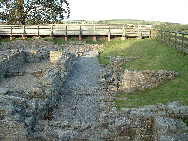
Vinovia
Vinovia or Vinovium was a Roman fort and settlement situated just over 1 mile (1.6 km) to the north of the town of Bishop Auckland on the banks of the...
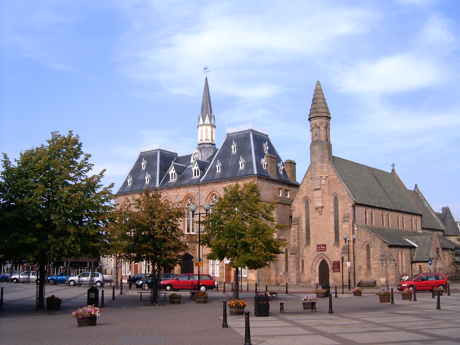
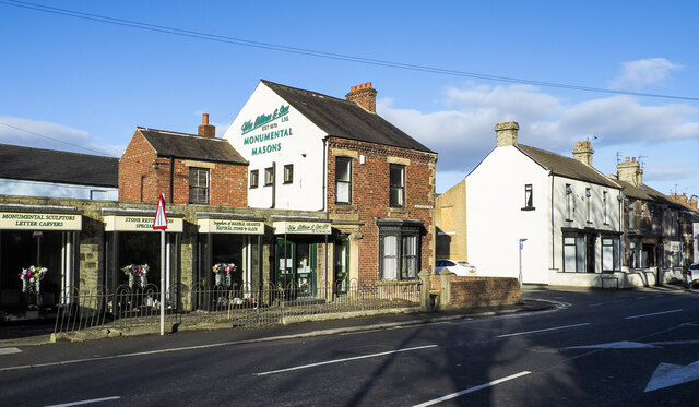
Bishop Auckland Town Hall
Bishop Auckland Town Hall is a municipal facility in the Market Place, Bishop Auckland, Co Durham, England. It is a Grade II* listed building. == History... ==
Nearby Amenities
Located within 500m of 54.67283,-1.6643333Have you been to Hazel Bank Plantation?
Leave your review of Hazel Bank Plantation below (or comments, questions and feedback).