Bowling Green Wood
Wood, Forest in Derbyshire Derbyshire Dales
England
Bowling Green Wood
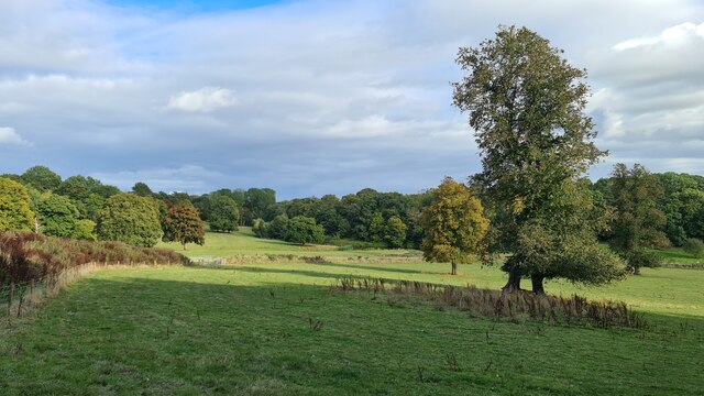
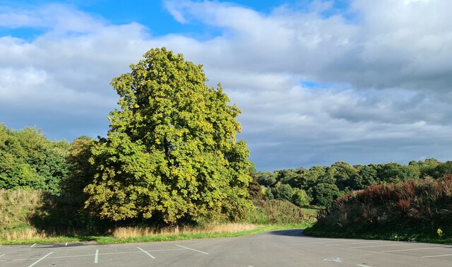
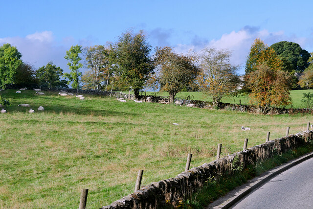
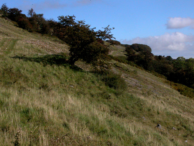
Bowling Green Wood is a picturesque woodland located in Derbyshire, England. Spanning approximately 100 acres, this enchanting forest is nestled in the heart of the Peak District National Park, offering visitors a tranquil and immersive experience in nature.
The wood is mainly composed of native broadleaf tree species, such as oak, beech, and birch, which create a diverse and vibrant ecosystem. The dense canopy provides ample shade, creating a cool and refreshing atmosphere, especially during the warm summer months.
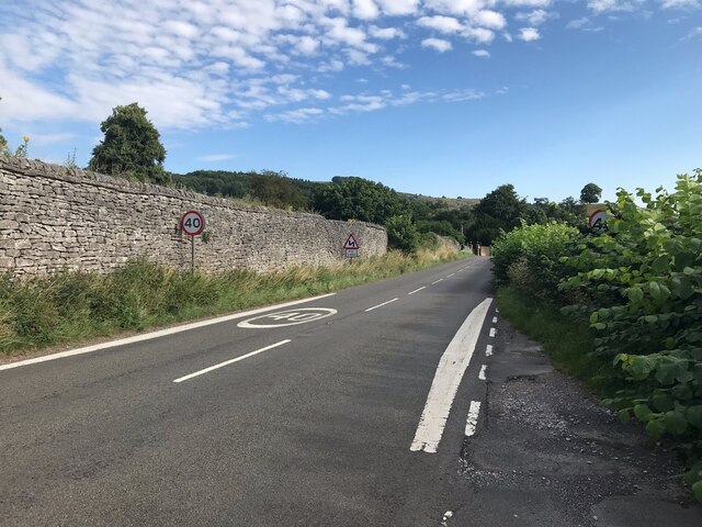
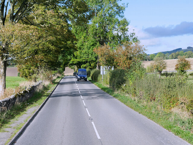
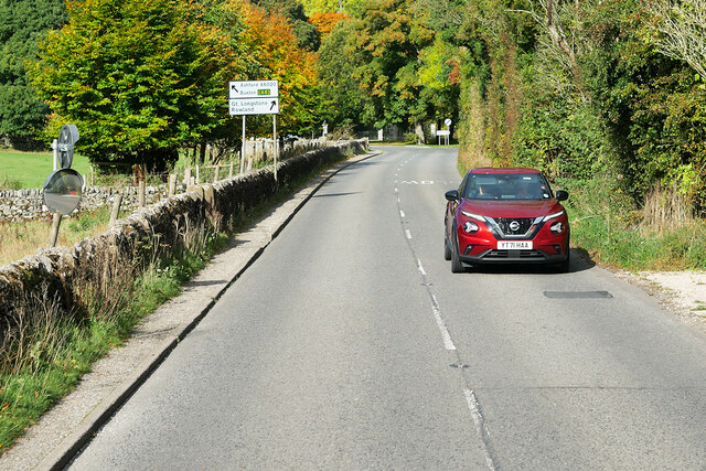
At Bowling Green Wood, visitors can explore a network of well-maintained footpaths that wind through the forest, offering stunning views of the surrounding countryside. The paths are suitable for walkers of all abilities, from casual strollers to experienced hikers. Along the way, one can encounter a variety of wildlife, including squirrels, rabbits, and an array of bird species.
The wood is also home to a diverse range of plant life, with wildflowers such as bluebells and primroses adding bursts of color to the forest floor during the springtime. The peaceful ambiance of the wood makes it an ideal spot for nature lovers, photographers, and those seeking a break from the hustle and bustle of everyday life.
Facilities at Bowling Green Wood include a small car park and picnic area, providing visitors with the opportunity to enjoy a leisurely lunch or snack amidst the natural beauty. Whether it's a family outing or a solo escape, Bowling Green Wood offers a peaceful retreat where visitors can reconnect with nature and appreciate the beauty of the Derbyshire countryside.
If you have any feedback on the listing, please let us know in the comments section below.
Bowling Green Wood Images
Images are sourced within 2km of 53.244474/-1.6760253 or Grid Reference SK2171. Thanks to Geograph Open Source API. All images are credited.


Bowling Green Wood is located at Grid Ref: SK2171 (Lat: 53.244474, Lng: -1.6760253)
Administrative County: Derbyshire
District: Derbyshire Dales
Police Authority: Derbyshire
What 3 Words
///encourage.sardine.answer. Near Bakewell, Derbyshire
Nearby Locations
Related Wikis
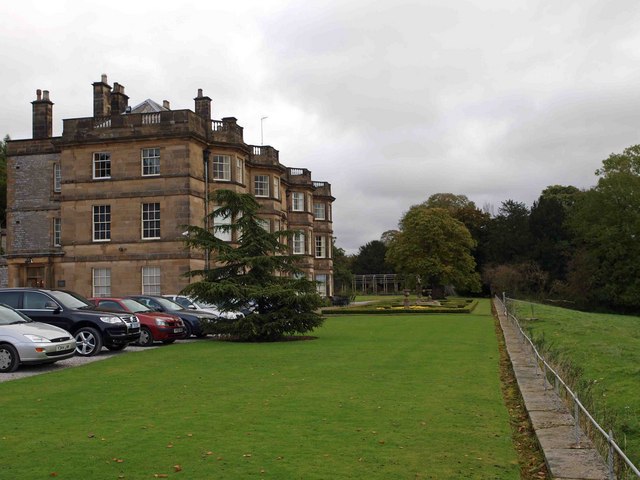
Hassop Hall
Hassop Hall is a 17th-century country house near Bakewell, Derbyshire, which was operated as a hotel until it closed on 29 September 2019. It is a Grade...
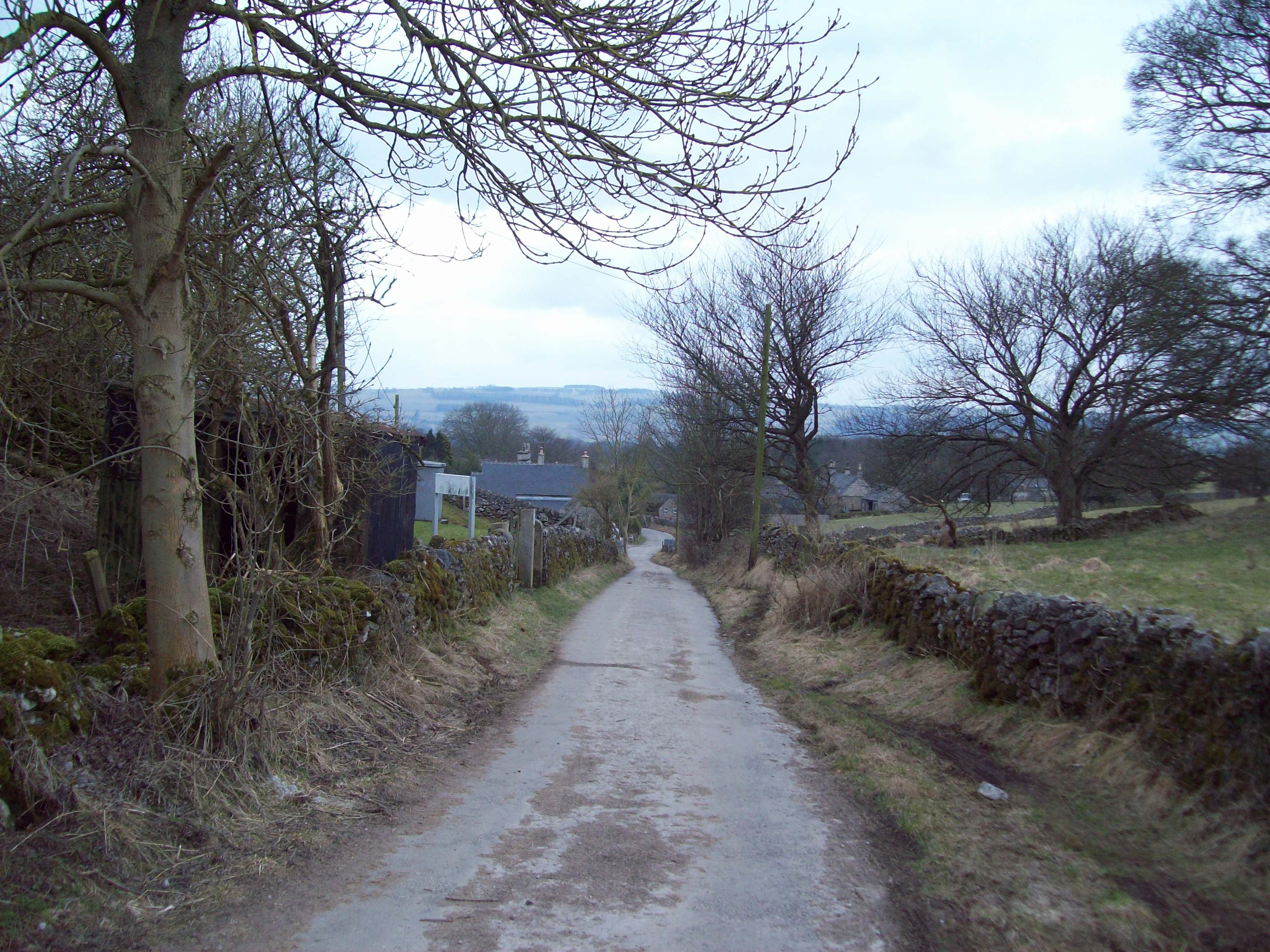
Rowland, Derbyshire
Rowland is a village and a civil parish in the Derbyshire Dales District, in the English county of Derbyshire. It is near the larger village of Great Longstone...

Hassop
Hassop is a village in the local government district of Derbyshire Dales in Derbyshire, England. It is in the civil parish of Great Longstone It developed...

Church of All Saints, Hassop
The Church of All Saints is a Roman Catholic parish church in Hassop, Derbyshire. Built in 1816–17, the architect was Joseph Ireland. It is a Grade...

Hassop railway station
Hassop railway station was a station situated about two miles from the village of Hassop in the Peak District of Derbyshire. It was opened in 1862 by the...

St Giles' Church, Longstone
St Giles’ Church, Longstone (also known as St Giles' Church, Great Longstone) is a Grade I listed parish church in the Church of England in Great Longstone...

Great Longstone
Great Longstone with Little Longstone is one of two villages in the local government district of Derbyshire Dales in Derbyshire, England. The population...
Longstone Edge
Longstone Edge is a limestone ridge in the Peak District National Park, in Derbyshire, England. Longstone Edge is immediately north of the village of Great...
Nearby Amenities
Located within 500m of 53.244474,-1.6760253Have you been to Bowling Green Wood?
Leave your review of Bowling Green Wood below (or comments, questions and feedback).