Darliston
Settlement in Shropshire
England
Darliston

Darliston is a small village located in the county of Shropshire, England. Situated in the West Midlands region, it is positioned approximately 12 miles southwest of the county town of Shrewsbury. With a population of around 500 residents, Darliston is known for its tranquil and rural setting, offering a peaceful escape from the hustle and bustle of larger towns and cities.
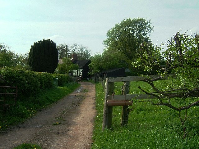
The village is surrounded by picturesque countryside, characterized by rolling hills, lush green fields, and meandering streams. The landscape is dotted with charming cottages and traditional farmhouses, adding to the idyllic charm of the area. The village itself consists of a handful of small shops and amenities, including a local pub, a village hall, and a primary school.
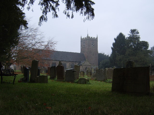
Darliston is rich in history, with evidence of human habitation dating back to Roman times. The village has several historical landmarks, including St. Mary's Church, a beautiful medieval building that serves as the spiritual heart of the community. Additionally, the area offers numerous opportunities for outdoor activities, such as hiking, cycling, and fishing, making it a popular destination for nature enthusiasts.
Despite its small size, Darliston benefits from its proximity to larger towns and cities. The nearby town of Shrewsbury provides residents with access to a wider range of amenities, including shopping centers, healthcare facilities, and educational institutions. Furthermore, Darliston's location along major road networks ensures convenient transportation links to other parts of Shropshire and beyond.
In summary, Darliston offers a charming and peaceful rural retreat in the heart of Shropshire. With its beautiful countryside, rich history, and access to nearby amenities, it is an ideal place for those seeking a tranquil lifestyle away from the urban chaos.
If you have any feedback on the listing, please let us know in the comments section below.
Darliston Images
Images are sourced within 2km of 52.89632/-2.619102 or Grid Reference SJ5833. Thanks to Geograph Open Source API. All images are credited.


Darliston is located at Grid Ref: SJ5833 (Lat: 52.89632, Lng: -2.619102)
Unitary Authority: Shropshire
Police Authority: West Mercia
What 3 Words
///thundered.mend.levels. Near Prees, Shropshire
Nearby Locations
Related Wikis
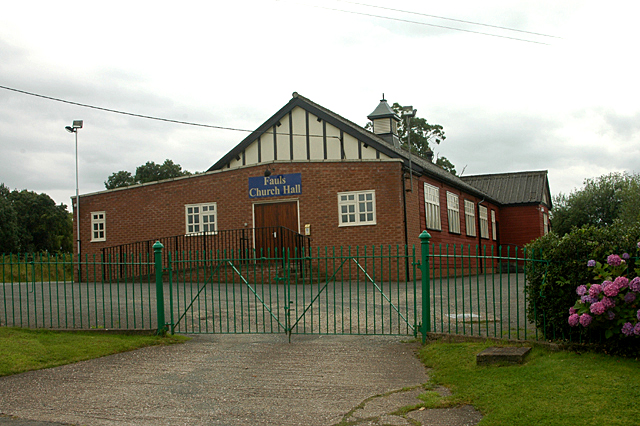
Fauls Green
Fauls Green (or Faulsgreen) is a hamlet situated 3 miles (4.8 km) from Prees (and lies in that parish) in rural north Shropshire, England. The placename...
Prees
Prees () is a village and civil parish in north Shropshire, near the border between England and Wales. Its name is Celtic and means "brushwood". ��2�...

Prees Higher Heath
Prees Higher Heath (commonly shortened to Higher Heath) is a large village located within the civil parish of Prees in north Shropshire, England. ��2...

Hawkstone Hall
Hawkstone Hall is a 43,400 square feet (4,030 m2) early 18th-century country mansion near Hodnet and Weston-under-Redcastle, Shropshire, England which...
Nearby Amenities
Located within 500m of 52.89632,-2.619102Have you been to Darliston?
Leave your review of Darliston below (or comments, questions and feedback).