Highmoor Copse
Wood, Forest in Wiltshire
England
Highmoor Copse
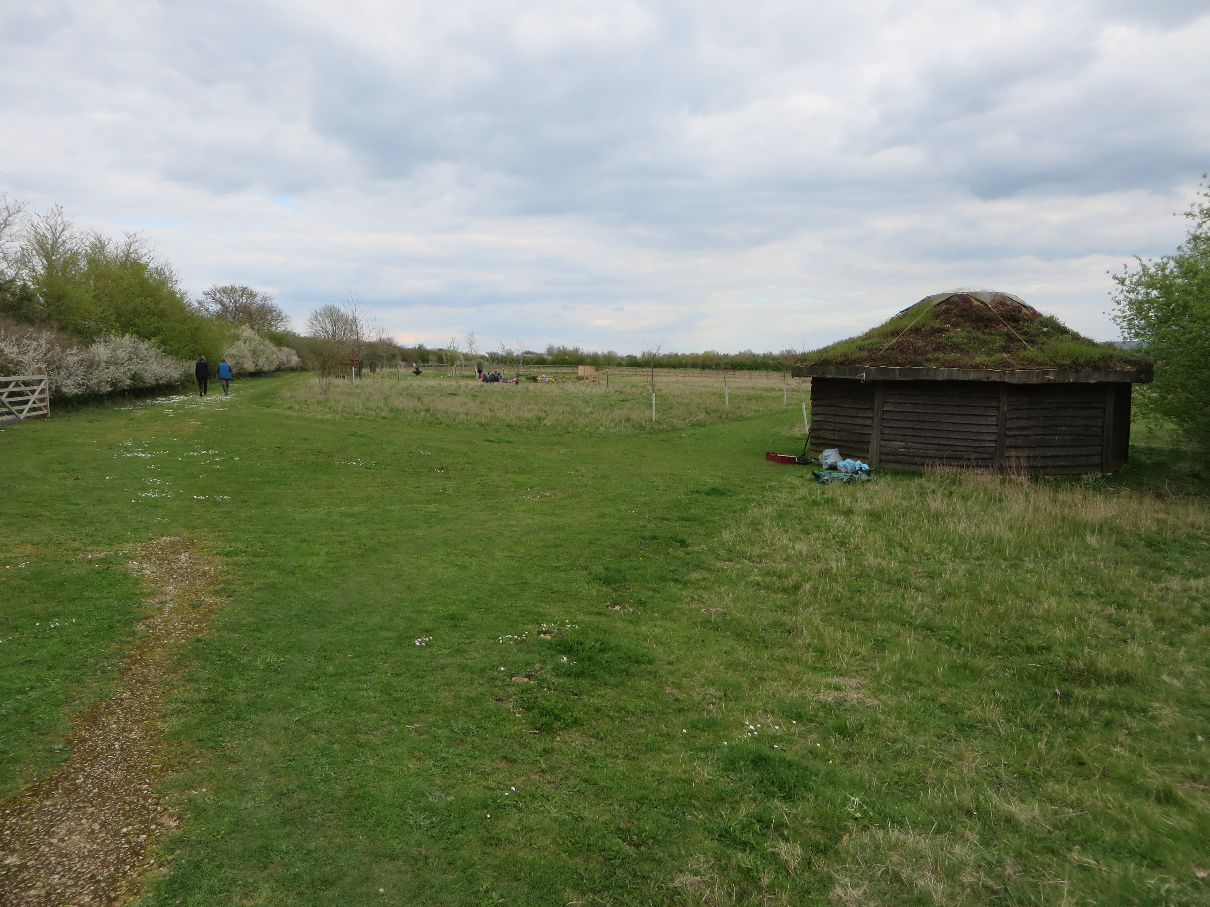
Highmoor Copse is a picturesque woodland located in the county of Wiltshire in southwestern England. Stretching across an area of approximately 200 acres, it is a beautiful example of a mixed deciduous forest. The copse is situated in the heart of the North Wessex Downs Area of Outstanding Natural Beauty, making it a popular destination for nature lovers and outdoor enthusiasts.
The woodland is characterized by its diverse range of tree species, including oak, beech, ash, and birch. These towering trees create a dense canopy, providing a cool and tranquil environment for visitors to explore. The forest floor is adorned with a carpet of bluebells during the spring, creating a stunning display of color and attracting numerous photographers and nature enthusiasts.
Highmoor Copse is home to a rich variety of wildlife, with many rare and protected species finding sanctuary within its boundaries. Deer, foxes, badgers, and numerous bird species can be spotted throughout the woodland, making it a haven for wildlife enthusiasts and birdwatchers.
The copse offers a network of well-maintained footpaths and trails, allowing visitors to explore the area at their own pace. These paths wind through the forest, offering beautiful views of the surrounding countryside and providing opportunities for peaceful walks and picnics. The copse is also a popular spot for recreational activities such as camping, cycling, and horseback riding.
Overall, Highmoor Copse is a natural gem in the heart of Wiltshire, offering a peaceful retreat for those seeking to connect with nature and enjoy the beauty of a traditional English woodland.
If you have any feedback on the listing, please let us know in the comments section below.
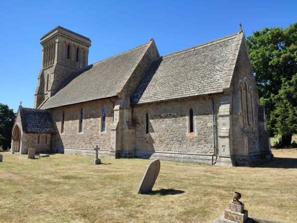
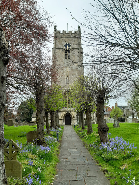
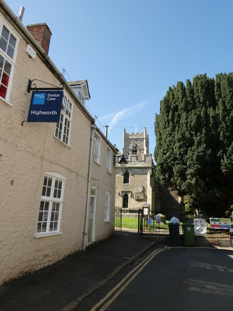
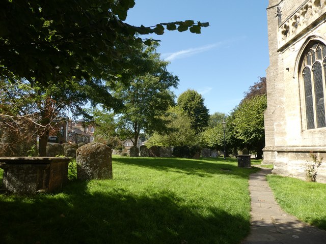
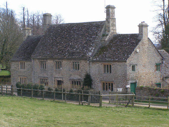
Highmoor Copse Images
Images are sourced within 2km of 51.623675/-1.6901148 or Grid Reference SU2191. Thanks to Geograph Open Source API. All images are credited.

![Highworth houses [30] Numbers 4 and 6 Cricklade Road unusually have shutters covering the (presumably) blind central windows.](https://s2.geograph.org.uk/geophotos/06/16/53/6165346_02997173.jpg)
![Highworth houses [31] Westrop House was built in 1878 for the Lord of the Manor. Many original fine internal features remain. Listed, grade II, with details at: <span class="nowrap"><a title="https://historicengland.org.uk/listing/the-list/list-entry/1184675" rel="nofollow ugc noopener" href="https://historicengland.org.uk/listing/the-list/list-entry/1184675">Link</a><img style="margin-left:2px;" alt="External link" title="External link - shift click to open in new window" src="https://s1.geograph.org.uk/img/external.png" width="10" height="10"/></span>](https://s3.geograph.org.uk/geophotos/06/16/53/6165347_d95f7e45.jpg)
![Highworth houses [26] Number 24 Cricklade Road is circa 1818 and is listed, grade II, with details at: <span class="nowrap"><a title="https://historicengland.org.uk/listing/the-list/list-entry/1023340" rel="nofollow ugc noopener" href="https://historicengland.org.uk/listing/the-list/list-entry/1023340">Link</a><img style="margin-left:2px;" alt="External link" title="External link - shift click to open in new window" src="https://s1.geograph.org.uk/img/external.png" width="10" height="10"/></span>](https://s2.geograph.org.uk/geophotos/06/16/53/6165350_64fa19cc.jpg)
![Highworth buildings [58] Highworth Recreation Centre has a gym, a pool, a rackets sports hall, a trampolining hall, a party room, resident clubs and many other facilities.](https://s0.geograph.org.uk/geophotos/06/16/53/6165352_f55be284.jpg)

Highmoor Copse is located at Grid Ref: SU2191 (Lat: 51.623675, Lng: -1.6901148)
Unitary Authority: Swindon
Police Authority: Wiltshire
What 3 Words
///handle.meanwhile.reinvest. Near Highworth, Wiltshire
Nearby Locations
Related Wikis

Highworth Warneford School
Highworth Warneford School is a coeducational secondary school in the small town of Highworth, north of Swindon, Wiltshire, England. == History == Warneford...

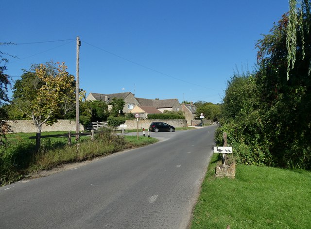
Warneford Place
Warneford Place, also known as Sevenhampton Place, is a Grade II listed country house in Sevenhampton, south of Highworth, in Wiltshire, England. The main...
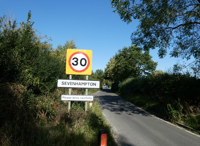
Sevenhampton, Wiltshire
Sevenhampton is a small village in Highworth parish in the borough of Swindon, in the ceremonial county of Wiltshire, England. It is about 1.4 miles (2...
Highworth Town F.C.
Highworth Town Football Club is a football club based in Highworth, Wiltshire, England. They are currently members of the Hellenic League Premier Division...

Highworth
Highworth is a market town and civil parish in the Borough of Swindon, England, about 6 miles (10 km) north-east of Swindon town centre. The 2021 Census...

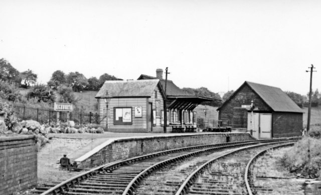
Highworth railway station
Highworth railway station served the town of Highworth, Wiltshire, England, from 1883 to 1962 on the Highworth branch line. The station was opened on 9...
Westmill Woodland Burial Ground
Westmill Woodland Burial Ground is a green burial ground in the Vale of White Horse on the border of Oxfordshire with Wiltshire in southern England. In...

Westmill Wind Farm Co-operative
Westmill Wind Farm Co-operative Ltd is a community-owned Industrial and Provident Society that owns 100% of the Westmill Wind Farm which is an onshore...
Nearby Amenities
Located within 500m of 51.623675,-1.6901148Have you been to Highmoor Copse?
Leave your review of Highmoor Copse below (or comments, questions and feedback).