Brain's Coppice
Wood, Forest in Gloucestershire Cotswold
England
Brain's Coppice

Brain's Coppice is a charming woodland located in the county of Gloucestershire, England. Spread across an area of approximately 50 acres, this ancient coppice woodland is a true haven for nature enthusiasts and those seeking tranquility amidst stunning natural surroundings.
The woodland comprises a variety of tree species, including oak, beech, ash, and hazel, which have been carefully managed for centuries. The practice of coppicing, a traditional method of woodland management, has been employed here, resulting in a diverse and thriving ecosystem. The coppicing process involves periodically cutting back trees to ground level, allowing new shoots to grow and ensuring a sustainable supply of wood for various purposes such as fuel and timber.
Visitors can explore the woodland through a network of well-maintained footpaths that wind their way through the trees. As they venture deeper into the woods, they will encounter an array of wildlife, including deer, badgers, foxes, and a variety of bird species. The woodland is also home to a rich diversity of flora, with carpets of bluebells, primroses, and wild garlic adorning the forest floor in spring.
Brain's Coppice offers a peaceful retreat from the hustle and bustle of everyday life, providing ample opportunities for walking, birdwatching, and photography. It is a popular destination for nature lovers, families, and individuals seeking solace in the great outdoors. With its natural beauty and abundant wildlife, Brain's Coppice is truly a hidden gem in the heart of Gloucestershire.
If you have any feedback on the listing, please let us know in the comments section below.
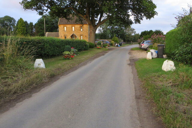
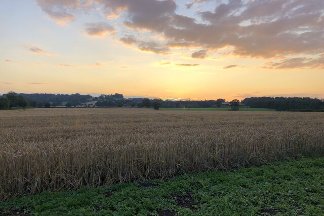
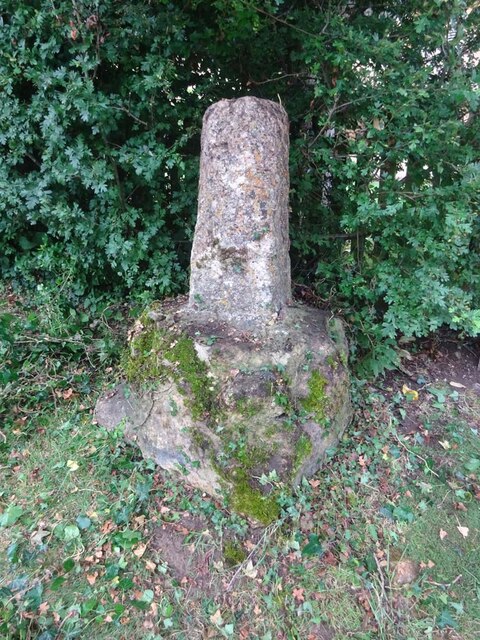
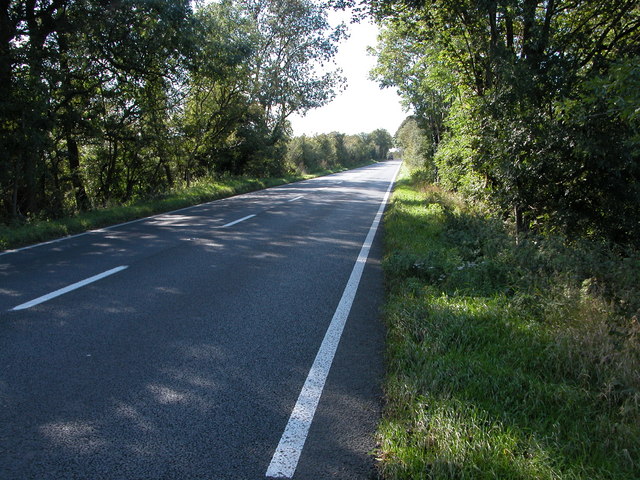
Brain's Coppice Images
Images are sourced within 2km of 52.008816/-1.6877553 or Grid Reference SP2134. Thanks to Geograph Open Source API. All images are credited.


Brain's Coppice is located at Grid Ref: SP2134 (Lat: 52.008816, Lng: -1.6877553)
Administrative County: Gloucestershire
District: Cotswold
Police Authority: Gloucestershire
What 3 Words
///timing.rather.riverbed. Near Moreton in Marsh, Gloucestershire
Nearby Locations
Related Wikis

Church of St Leonard, Lower Lemington
The Anglican Church of St Leonard at Lower Lemington in the parish of Batsford in the Cotswold District of Gloucestershire, England was built in the 12th...
Lower Lemington
Lower Lemington is a small village and former civil parish, now in the parish of Batsford, in the Cotswold district of Gloucestershire, England. The village...

Dorn, Gloucestershire
Dorn is a hamlet in the Cotswold district of Gloucestershire, England. The hamlet is about 1 mile north of Moreton-in-Marsh. Dorn lies on the west side...
A429 road
The A429 is a main road in England that runs in a north-northeasterly direction from junction 17 of the M4 motorway (4 miles (6.4 km) north of Chippenham...
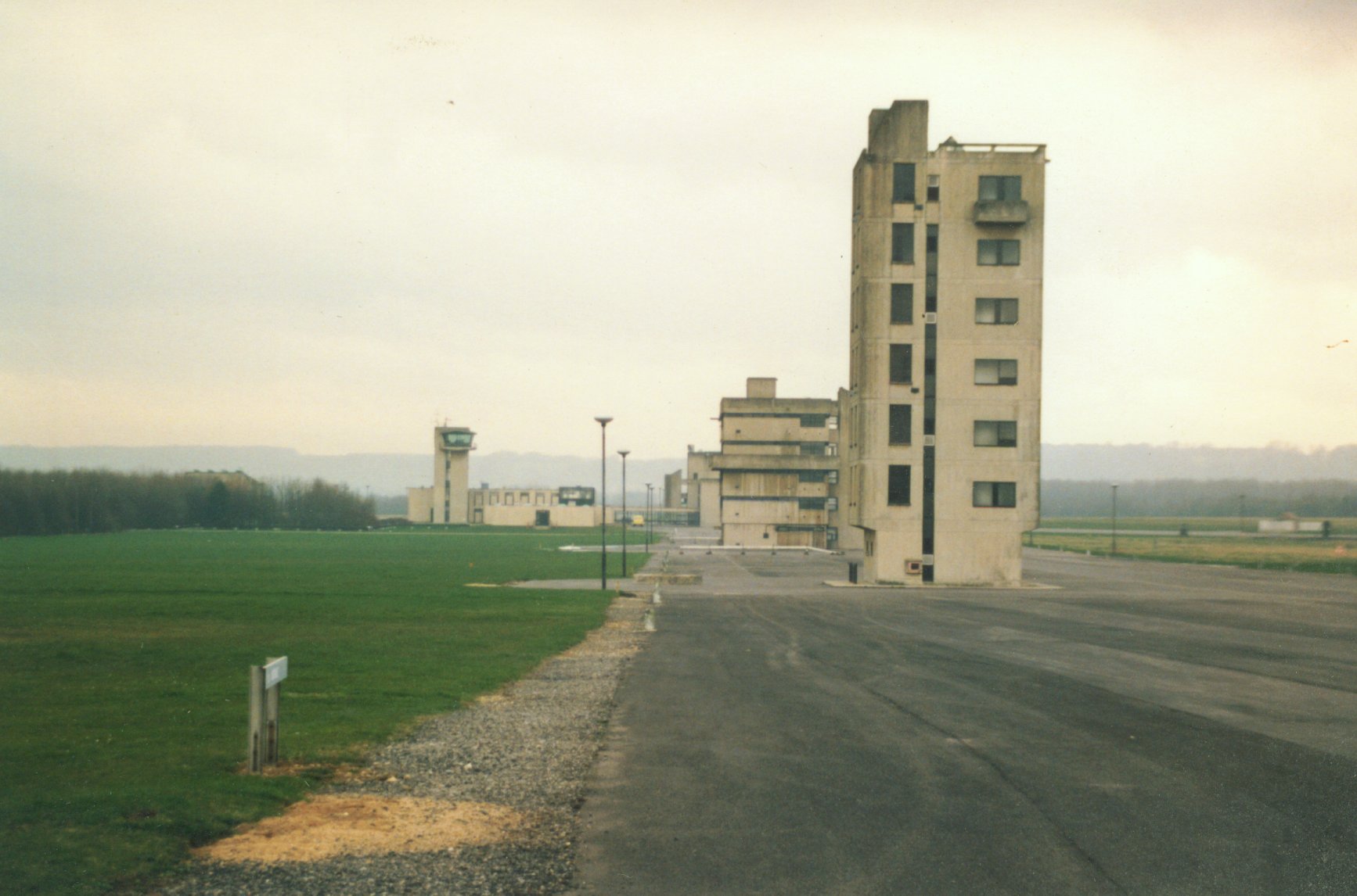
Fire Service College
The Fire Service College is responsible for providing leadership, management and advanced operational training courses for senior fire officers from the...
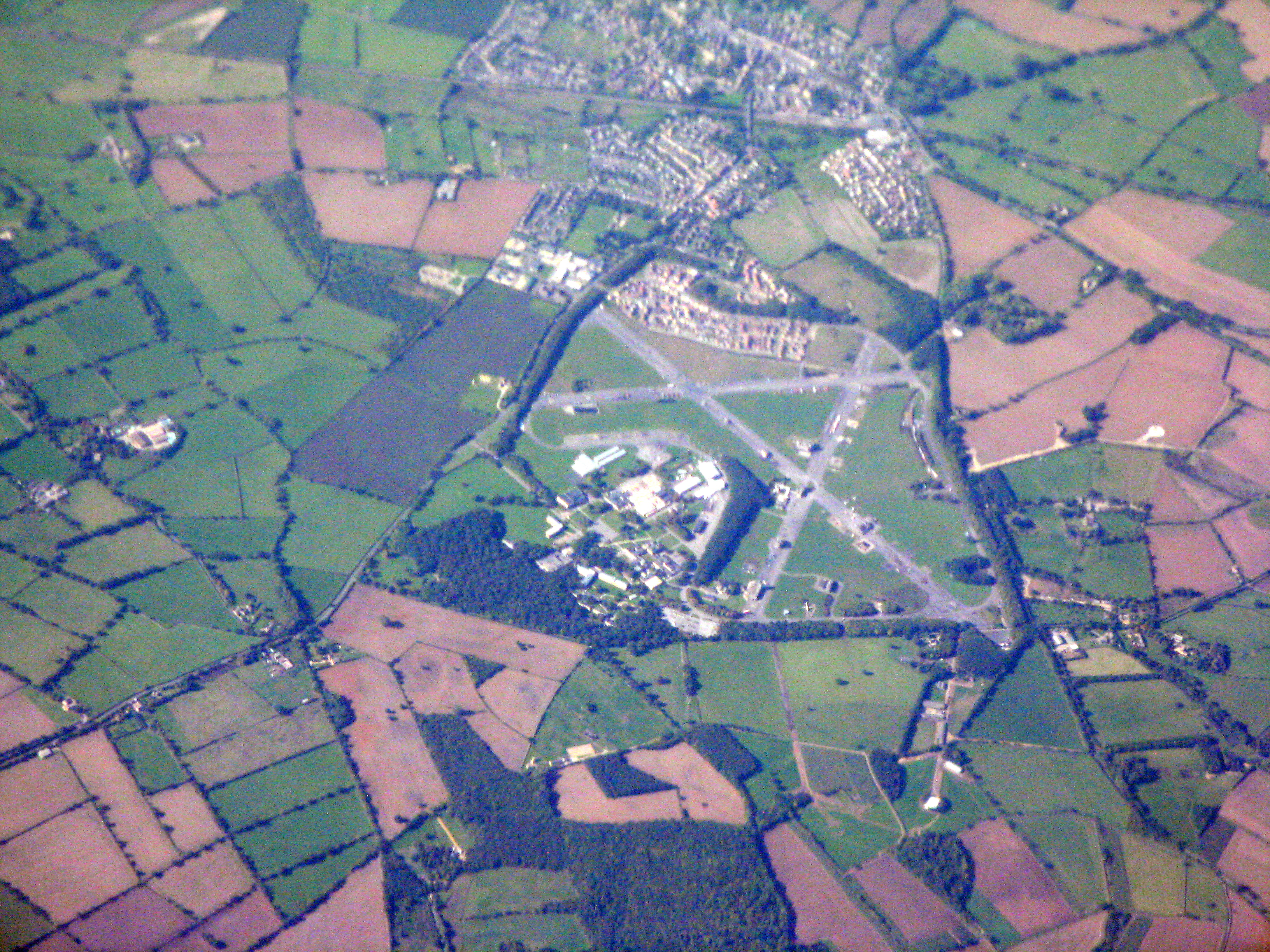
RAF Moreton-in-Marsh
RAF Moreton-in-Marsh was a Royal Air Force station near Moreton-in-Marsh, Gloucestershire. It was opened in November 1940 with three concrete and tarmac...
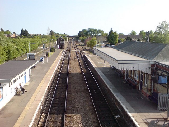
Moreton-in-Marsh railway station
Moreton-in-Marsh railway station serves the town of Moreton-in-Marsh in Gloucestershire, England; it is on the Cotswold Line between Kingham and Honeybourne...

Batsford Road
Batsford Road, sometimes known as Moreton-in-Marsh Cricket Club Ground, is a cricket ground in Moreton-in-Marsh, Gloucestershire. The ground is located...
Nearby Amenities
Located within 500m of 52.008816,-1.6877553Have you been to Brain's Coppice?
Leave your review of Brain's Coppice below (or comments, questions and feedback).