Dunge Wood

Wood, Forest in Derbyshire Derbyshire Dales

England

Dunge Wood

It's not that deep Overtaking on the stepping stones
It's not that deep Credit: Chris Morgan

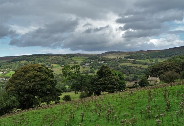
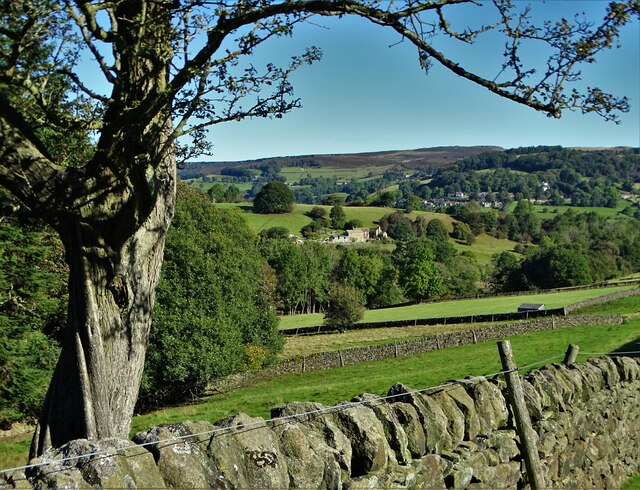
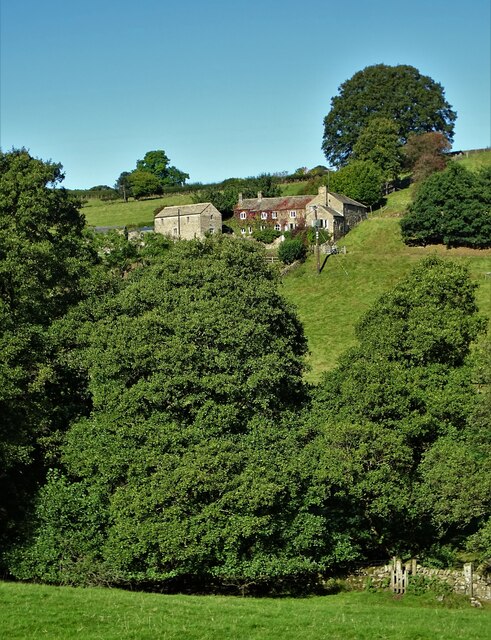
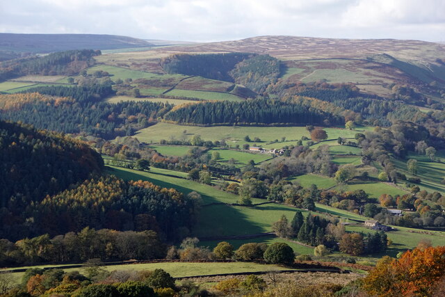
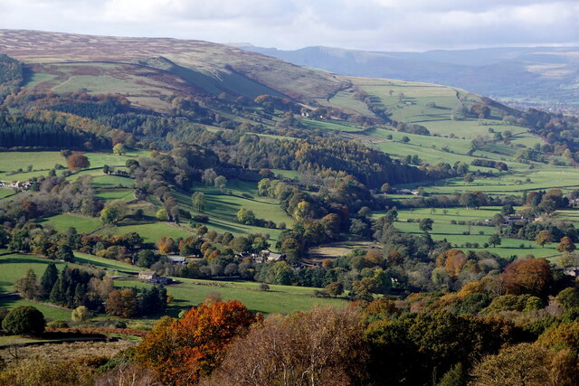
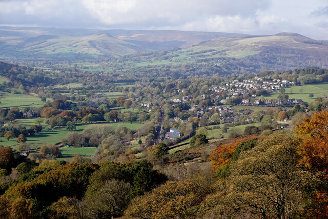
Dunge Wood, located in Derbyshire, England, is a picturesque forest that spans over a vast area. Known for its natural beauty and tranquil atmosphere, it attracts visitors from near and far who seek solace and relaxation in the midst of nature.

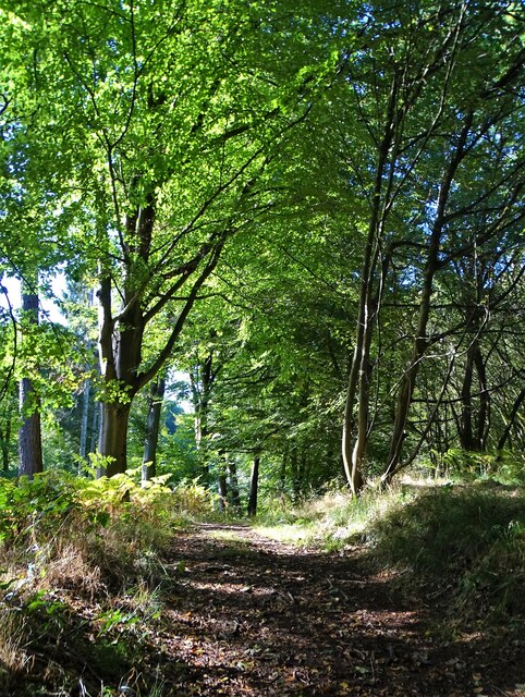
The wood is predominantly made up of a variety of deciduous trees, including oak, beech, and birch, which create a stunning canopy of foliage during the summer months. The forest floor is adorned with an array of wildflowers, mosses, and ferns, adding to its enchanting appeal. The diverse ecosystem of Dunge Wood provides a habitat for numerous wildlife species, including deer, foxes, rabbits, and a wide range of bird species, making it a haven for nature enthusiasts and birdwatchers.

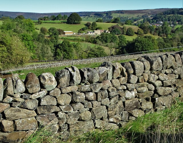
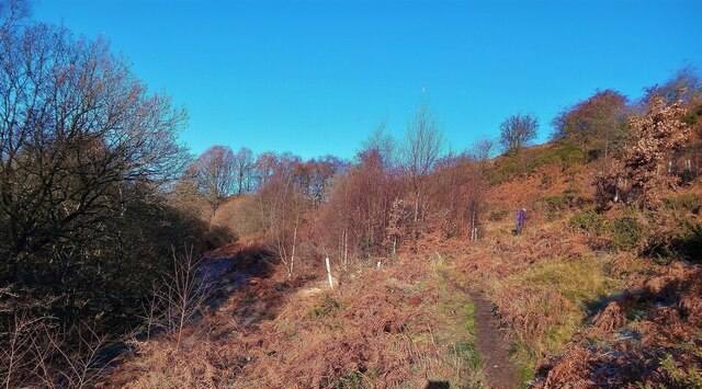
Numerous walking trails and footpaths crisscross the wood, allowing visitors to explore its depths and discover its hidden treasures. The paths wind through ancient trees and lead to scenic viewpoints, providing breathtaking vistas of the surrounding countryside. The wood is also home to a small stream that meanders through its heart, enhancing its natural charm.

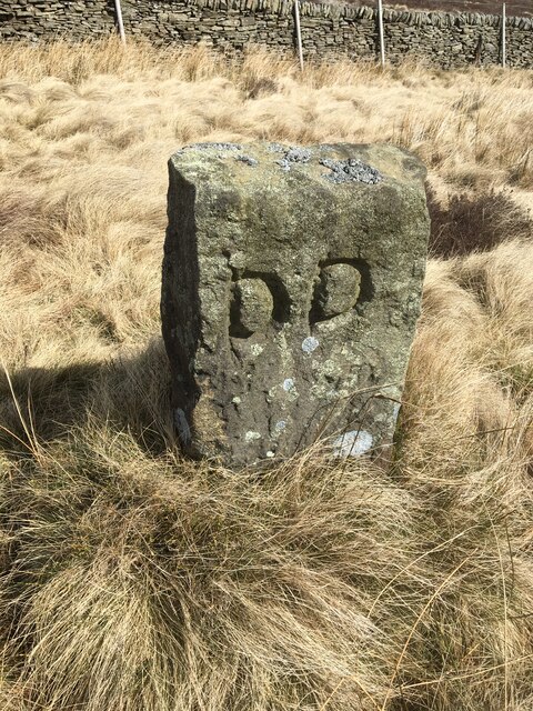
Dunge Wood holds a significant historical value, as it has been referenced in local folklore and literature for centuries. Its age-old trees and mystical ambiance evoke a sense of timelessness, transporting visitors to a world of ancient legends and tales.

Whether it be for a leisurely stroll, a picnic amidst nature, or a chance to immerse oneself in the beauty of the natural world, Dunge Wood offers a serene and rejuvenating experience for all who venture into its embrace.

If you have any feedback on the listing, please let us know in the comments section below.
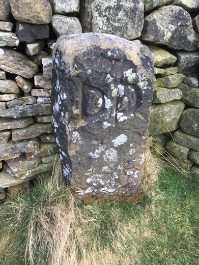
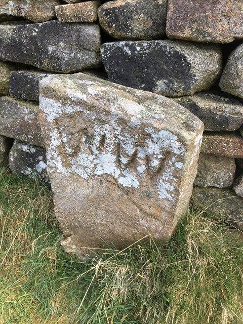
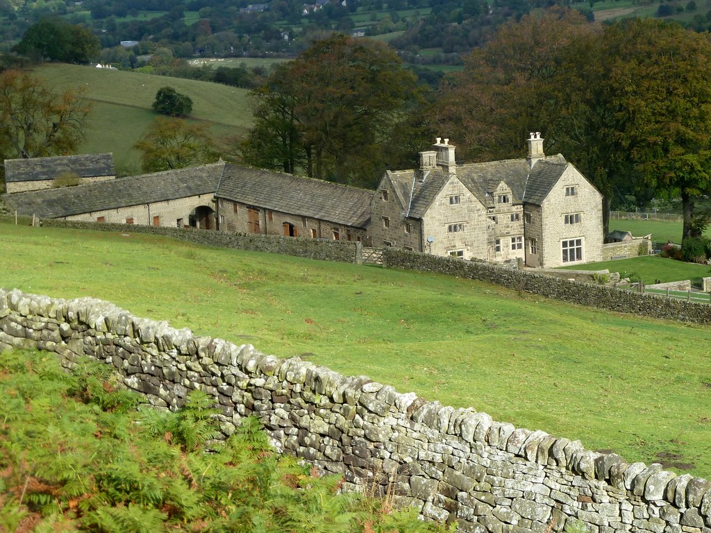
Dunge Wood Images

Images are sourced within 2km of 53.319404/-1.6795266 or Grid Reference SK2180. Thanks to Geograph Open Source API. All images are credited.

It's not that deep Overtaking on the stepping stones
It's not that deep
Overtaking on the stepping stones
Hazelford Hall above The Hope Valley
View to Broadhay from Highlow Wood Broadhay is the farm you can see in the centre of this photograph with Hathersage beyond
View to Broadhay from Highlow Wood
Broadhay is the farm you can see in the centre of this photograph with Hathersage beyond
Hay bales wrapped in plastic With Birch Low to the right. One wonders how much plastic is used in this way in The British Isles each year. Farmers never used to use it.
Hay bales wrapped in plastic
With Birch Low to the right. One wonders how much plastic is used in this way in The British Isles each year. Farmers never used to use it.
Drystone wall  with view to Broadhay
Drystone wall with view to Broadhay
Broadhay Not to be confused with nearby Broadhay Farm
Broadhay
Not to be confused with nearby Broadhay Farm
In Callow Wood
In Callow Wood
Pheasant feeder near Broadhay
Leadmill, from Surprise View, Millstone Edge
Derwent Valley from Surprise View, Millstone Edge
Hathersage, from Surprise View, Millstone Edge
Hope Valley railway at Bamford Preparatory work is now underway to create a new freight passing loop with the main earth moving work scheduled to start by April 2022. The Bamford loop will run from the end of the station platform towards Jaggers Lane bridge in Hathersage, seen here in the distance.
Hope Valley railway at Bamford
Preparatory work is now underway to create a new freight passing loop with the main earth moving work scheduled to start by April 2022. The Bamford loop will run from the end of the station platform towards Jaggers Lane bridge in Hathersage, seen here in the distance.
Bretton Clough The trees planted about 8 years ago have naturally grown. See an older photo by Peter Barr <a href="https://www.geograph.org.uk/photo/3791331">SK2078 : Bretton Clough</a>. The tree guards were left in place but hundreds were unofficially removed by volunteers taking Covid lockdown exercise in 2020/21. The plastic was removed and disposed of responsibly.
Bretton Clough
The trees planted about 8 years ago have naturally grown. See an older photo by Peter Barr SK2078 : Bretton Clough. The tree guards were left in place but hundreds were unofficially removed by volunteers taking Covid lockdown exercise in 2020/21. The plastic was removed and disposed of responsibly.
Waiting for a train At Hathersage, but there was none. A bus substitute service was in operation on this day. There was inadequate signage to tell intending passengers, or show where to catch the bus.  

This couple did catch it because it was running 10 minutes late
Waiting for a train
At Hathersage, but there was none. A bus substitute service was in operation on this day. There was inadequate signage to tell intending passengers, or show where to catch the bus. This couple did catch it because it was running 10 minutes late
Site of forthcoming Bamford freight loop Part of the Hope Valley Capacity Scheme to improve reliability and capacity on the South Pennine mainline between Sheffield and Manchester. Passenger services by Northern, East Midlands Railway and TransPennine Express. Limestone from Buxton area quarries. Cement from the Hope Valley cement works
Site of forthcoming Bamford freight loop
Part of the Hope Valley Capacity Scheme to improve reliability and capacity on the South Pennine mainline between Sheffield and Manchester. Passenger services by Northern, East Midlands Railway and TransPennine Express. Limestone from Buxton area quarries. Cement from the Hope Valley cement works
Old Boundary Marker by Siney Sitch on Abney Moor Estate Boundary Marker in the valley of Siney Sitch on Abney Moor. Inscribed D D thought to be for the Duke of Devonshire. Brough and Shatton parish. The inscription indicates this marks the boundary of an estate.

Milestone Society National ID: DE_BRSH01em
Old Boundary Marker by Siney Sitch on Abney Moor
Estate Boundary Marker in the valley of Siney Sitch on Abney Moor. Inscribed D D thought to be for the Duke of Devonshire. Brough and Shatton parish. The inscription indicates this marks the boundary of an estate. Milestone Society National ID: DE_BRSH01em
Old Boundary Marker by Siney Sitch on Abney Moor Estate Boundary Marker against a drystone wall in the valley of Siney Sitch on Abney Moor. Inscribed D D thought to be for the Duke of Devonshire. Abney and Abney Grange parish. The inscription indicates this marks the boundary of an estate.

Milestone Society National ID: DE_AAG02em
Old Boundary Marker by Siney Sitch on Abney Moor
Estate Boundary Marker against a drystone wall in the valley of Siney Sitch on Abney Moor. Inscribed D D thought to be for the Duke of Devonshire. Abney and Abney Grange parish. The inscription indicates this marks the boundary of an estate. Milestone Society National ID: DE_AAG02em
Old Boundary Marker by Siney Sitch on Abney Moor Estate Boundary Marker against a drystone wall in the valley of Siney Sitch on Abney Moor. Inscribed W W thought to be for local landowner Walter Wilson. Abney and Abney Grange parish. The inscription indicates this marks the boundary of an estate.

Milestone Society National ID: DE_AAG03em
Old Boundary Marker by Siney Sitch on Abney Moor
Estate Boundary Marker against a drystone wall in the valley of Siney Sitch on Abney Moor. Inscribed W W thought to be for local landowner Walter Wilson. Abney and Abney Grange parish. The inscription indicates this marks the boundary of an estate. Milestone Society National ID: DE_AAG03em
Show me another place!

Dunge Wood is located at Grid Ref: SK2180 (Lat: 53.319404, Lng: -1.6795266)

Administrative County: Derbyshire

District: Derbyshire Dales

Police Authority: Derbyshire

What 3 Words

///fondest.lotteries.encodes. Near Hathersage, Derbyshire

Nearby Locations

Dunge Wood

Related Wikis

Offerton, Derbyshire

Offerton is a hamlet and civil parish in the Derbyshire Dales district, in Derbyshire, England. It lies on the River Derwent. The village features Offerton...
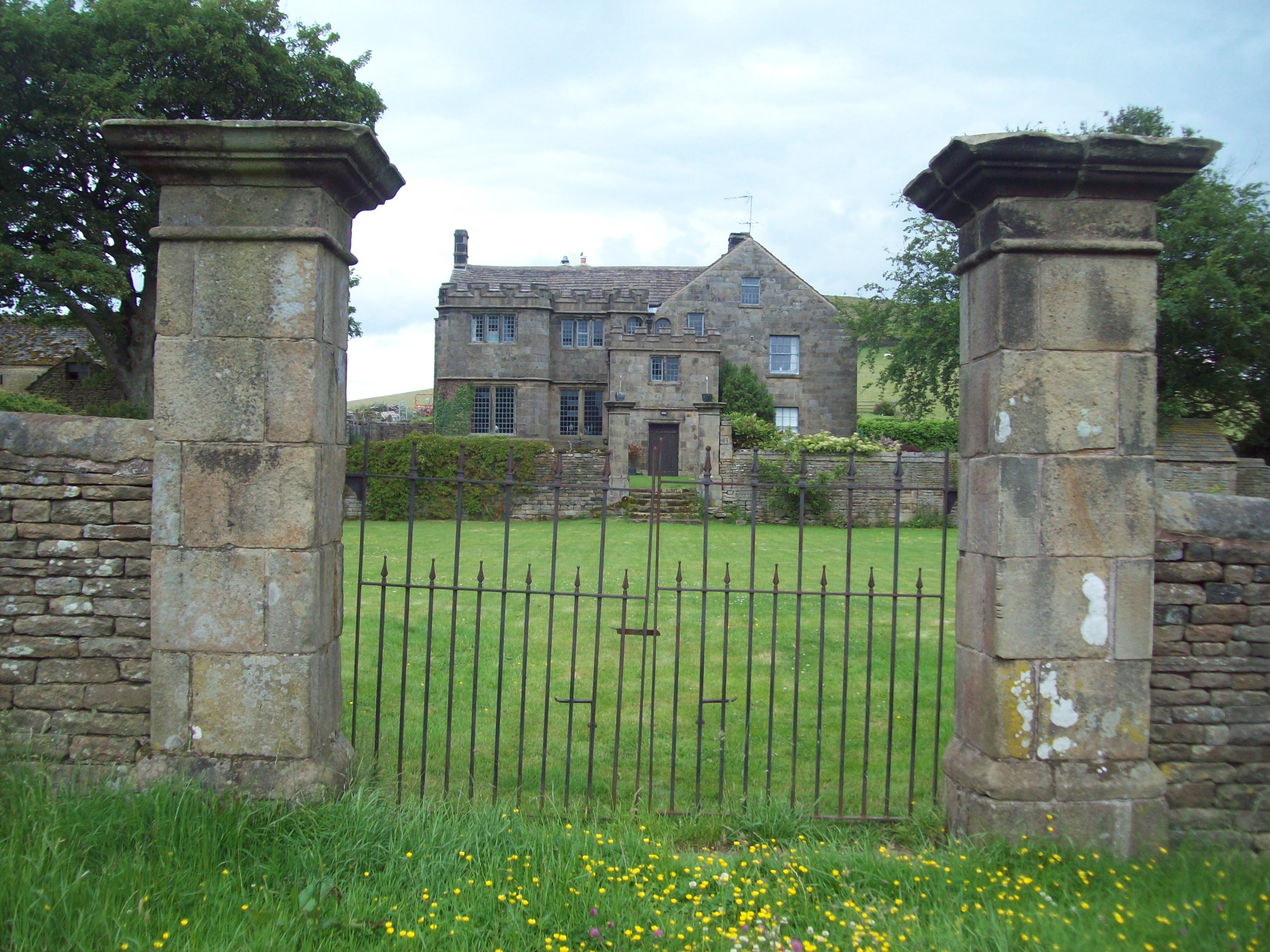
Highlow Hall

Highlow Hall is a historic Elizabethan manor house in Highlow civil parish, near Hathersage, Derbyshire, England. It was owned by the Eyre family from...

Bretton Brook

Bretton Brook is a stream flowing through Bretton in the Derbyshire Peak District. The stream is a tributary of the Highlow Brook, which is a direct...

Highlow Brook

Highlow Brook is a stream in the civil parish of Highlow in the Derbyshire Peak District. The stream is a tributaries of the River Derwent, flowing southeast...

Nearby Amenities

Located within 500m of 53.319404,-1.6795266
The data included in this document is from www.openstreetmap.org. The data is made available under ODbL.

Have you been to Dunge Wood?

Leave your review of Dunge Wood below (or comments, questions and feedback).