Eastclose Copse
Wood, Forest in Hampshire New Forest
England
Eastclose Copse
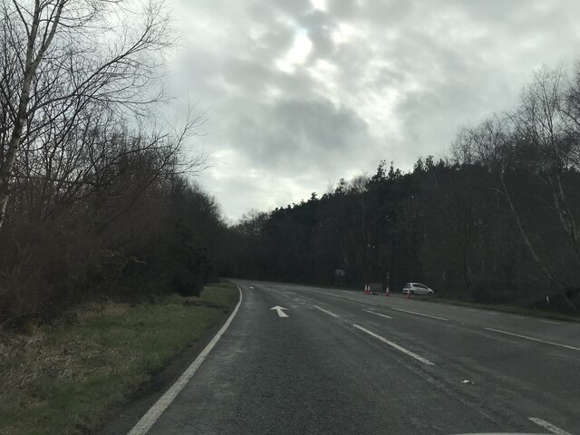
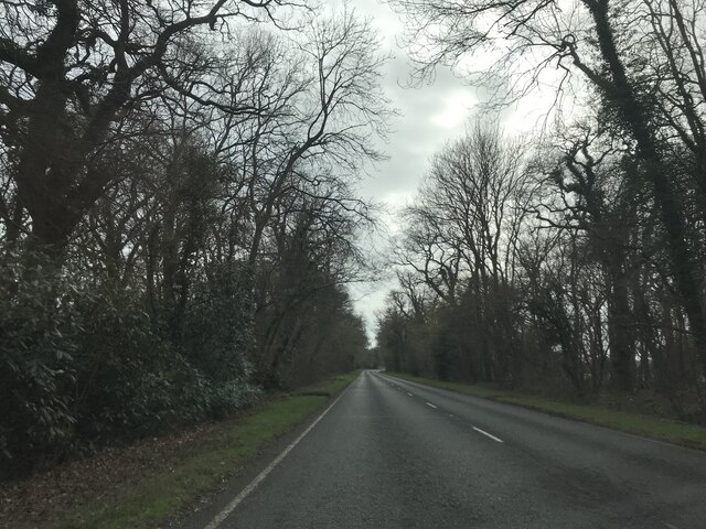
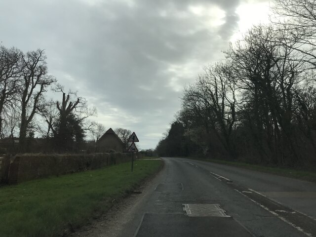
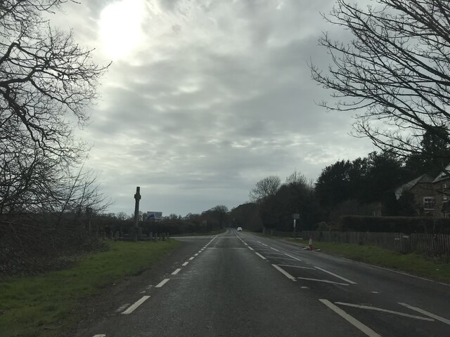
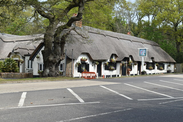
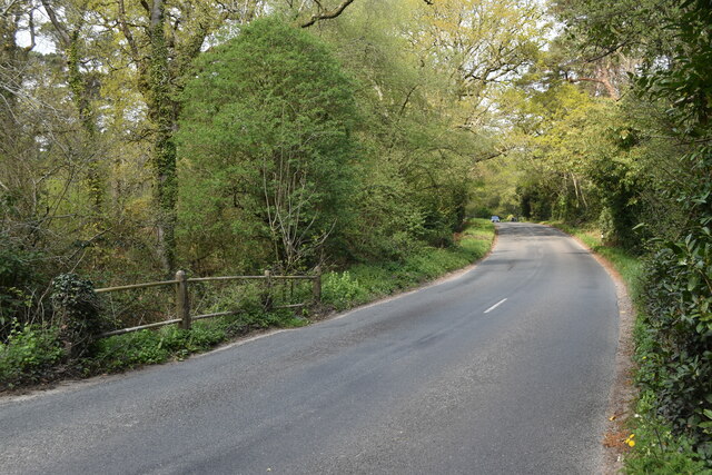
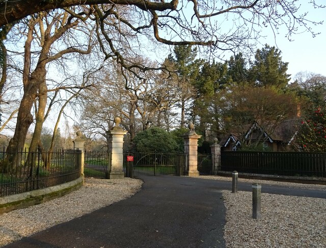
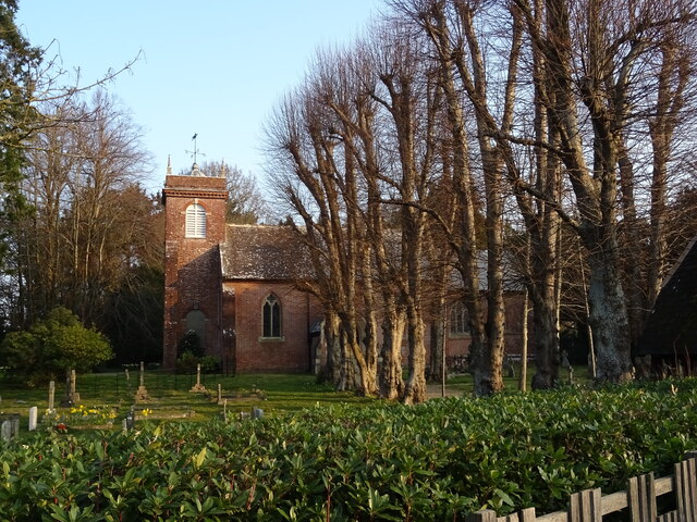
Eastclose Copse is a picturesque woodland located in Hampshire, England. Covering an area of approximately 50 acres, it is a tranquil haven for nature enthusiasts and a popular destination for outdoor activities. The copse is situated near the village of Sway, within the New Forest National Park.
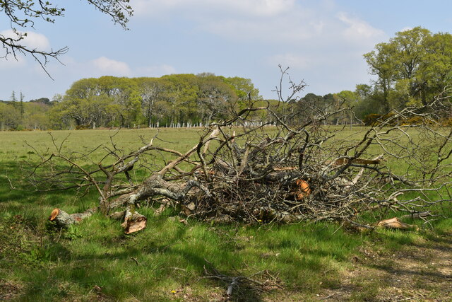
The woodland is predominantly composed of deciduous trees, including oak, beech, and birch, which create a dense canopy overhead. This provides shade during the summer months and a vibrant display of colors in the autumn. The forest floor is covered in a rich carpet of moss, ferns, and wildflowers, creating a diverse and enchanting ecosystem.
Eastclose Copse is home to a variety of wildlife, including deer, foxes, badgers, and a wide range of bird species. Visitors may spot woodpeckers, owls, and even the rare red kite soaring above the treetops. The copse also boasts a small stream, which adds to the natural beauty and provides a habitat for aquatic creatures.
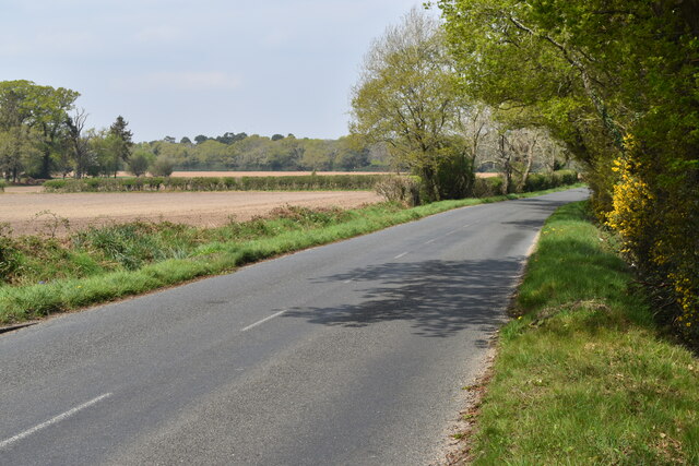
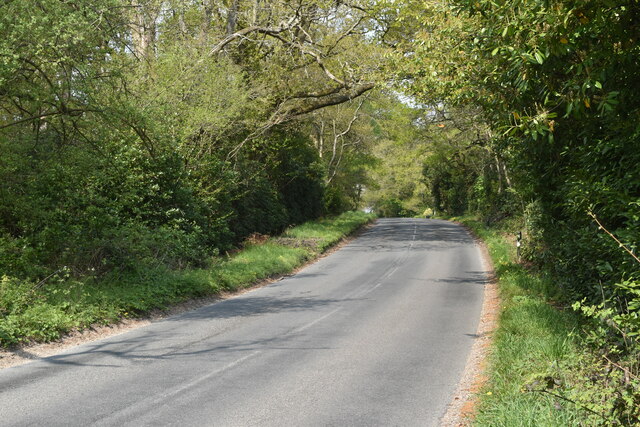
The woodland offers a network of well-maintained footpaths, allowing visitors to explore and immerse themselves in the peaceful surroundings. There are picnic areas and benches scattered throughout the copse, providing ideal spots to rest and appreciate the natural beauty.
Eastclose Copse is a popular destination for walking, jogging, and birdwatching. It offers a sense of tranquility and escape from the bustling city life, making it an ideal location for those seeking solace in nature. With its diverse flora and fauna, this woodland is a true gem within the Hampshire countryside.
If you have any feedback on the listing, please let us know in the comments section below.
Eastclose Copse Images
Images are sourced within 2km of 50.771032/-1.6977063 or Grid Reference SZ2196. Thanks to Geograph Open Source API. All images are credited.
Eastclose Copse is located at Grid Ref: SZ2196 (Lat: 50.771032, Lng: -1.6977063)
Administrative County: Hampshire
District: New Forest
Police Authority: Hampshire
What 3 Words
///loafing.rational.fled. Near New Milton, Hampshire
Nearby Locations
Related Wikis

East Close House
East Close House in Hinton, Hampshire, near Christchurch, Dorset, is a building of historical significance and a grade II listed building on the English...

Beckley, Hampshire
Beckley is a hamlet in Hampshire, England. It lies in the civil parish of Bransgore. Beckley is mentioned in the Domesday Book of 1086, when it was held...
Hinton, Hampshire
Hinton is a dispersed settlement in the civil parish of Bransgore, in the English county of Hampshire. Hinton is centred on the main A35 road northeast...

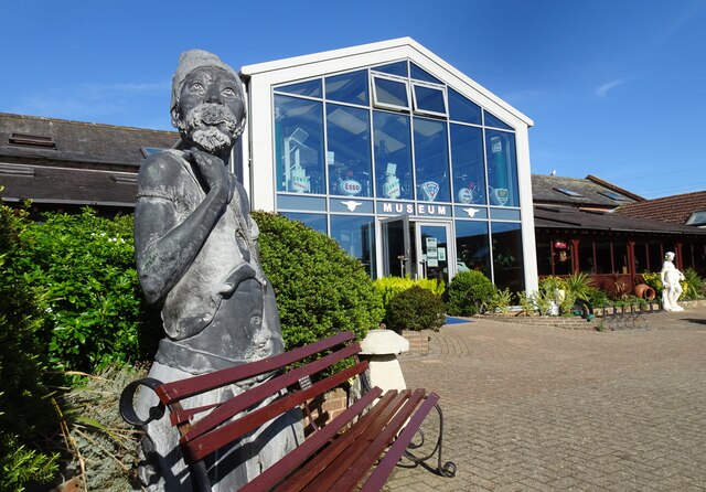
Sammy Miller Motorcycle Museum
The Sammy Miller Motorcycle Museum is an independent museum in New Milton, Hampshire, England. It was set up in 1964, after the former championship winning...

RAF Holmsley South
Royal Air Force Holmsley South or more simply RAF Holmsley South is a former Royal Air Force station in Hampshire, England. The airfield is located approximately...

Ossemsley
Ossemsley is an extended hamlet in the New Forest National Park of Hampshire, England. It lies close to the village of Bashley. The nearest town is New...

Hinton Admiral railway station
Hinton Admiral railway station is a station serving the villages of Bransgore and Hinton and the seaside town of Highcliffe on the Hampshire/Dorset border...

Hinton Admiral
Hinton Admiral is the estate and ancestral home of the Tapps-Gervis-Meyrick family and located in the settlement of Hinton, near Bransgore in Hampshire...
Nearby Amenities
Located within 500m of 50.771032,-1.6977063Have you been to Eastclose Copse?
Leave your review of Eastclose Copse below (or comments, questions and feedback).