Gotherage Plantation
Wood, Forest in Derbyshire Derbyshire Dales
England
Gotherage Plantation
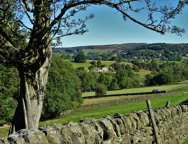
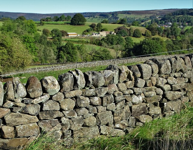
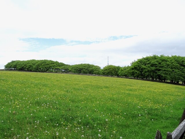
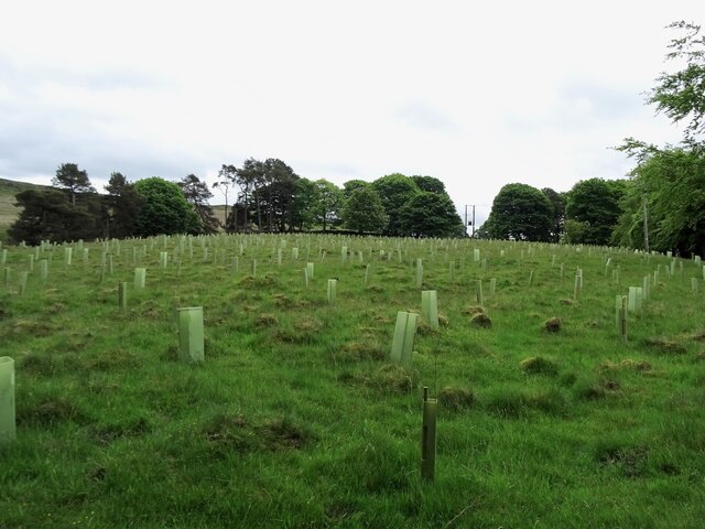
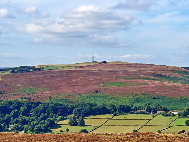
Gotherage Plantation is a picturesque woodland located in Derbyshire, England. Covering an area of approximately 100 acres, it is a beautiful example of a mixed forest, consisting of various tree species including oak, beech, ash, and birch. The plantation is situated in a rural area, offering visitors a serene and peaceful setting, away from the hustle and bustle of city life.
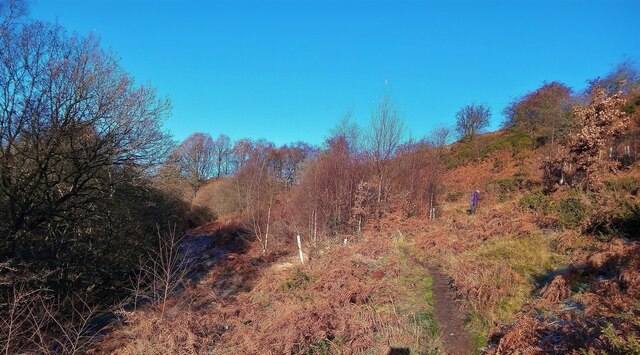
The woodland is well-maintained, with clear paths and trails allowing visitors to explore its natural beauty. The terrain is relatively flat, making it accessible to people of all ages and abilities, including families with young children. The plantation is also popular among nature enthusiasts, providing an opportunity to observe and appreciate the local flora and fauna.
Gotherage Plantation is home to a diverse range of wildlife, including squirrels, rabbits, foxes, and a variety of bird species. Birdwatchers can delight in the sight of woodpeckers, robins, and jays, among others. The woodland is particularly enchanting during spring, when the forest floor is adorned with vibrant wildflowers, creating a colorful spectacle.
For those interested in outdoor activities, Gotherage Plantation offers ample opportunities for walking, jogging, and cycling. The tranquil atmosphere and the absence of traffic make it an ideal location for those seeking a peaceful getaway. The plantation also has designated picnic areas, allowing visitors to enjoy a packed lunch amidst the natural beauty.
Overall, Gotherage Plantation is a hidden gem in Derbyshire, providing a haven for relaxation, exploration, and appreciation of nature's wonders.
If you have any feedback on the listing, please let us know in the comments section below.
Gotherage Plantation Images
Images are sourced within 2km of 53.303849/-1.6808735 or Grid Reference SK2178. Thanks to Geograph Open Source API. All images are credited.


Gotherage Plantation is located at Grid Ref: SK2178 (Lat: 53.303849, Lng: -1.6808735)
Administrative County: Derbyshire
District: Derbyshire Dales
Police Authority: Derbyshire
What 3 Words
///pacemaker.congas.candle. Near Hathersage, Derbyshire
Nearby Locations
Related Wikis

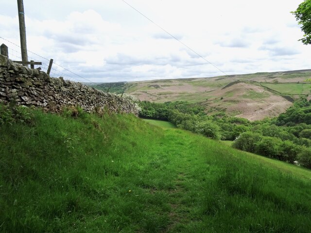
Eyam Moor
Eyam Moor is a plateau-topped hill between the villages of Eyam and Hathersage in Derbyshire, in the Peak District of England. The summit of Sir William...

Highlow
Highlow is a civil parish within the Derbyshire Dales district, in the county of Derbyshire, England. Largely rural, Highlow's population is reported with...

Wet Withens
Wet Withens is a Bronze Age henge on Eyam Moor in the Derbyshire Peak District, England. The prehistoric circle of 10 upright stones (orthostats) is a...

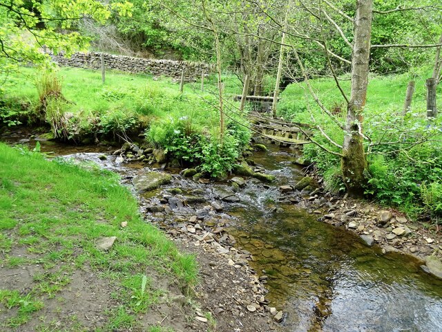
Bretton Brook
Bretton Brook is a stream flowing through Bretton in the Derbyshire Peak District. The stream is a tributary of the Highlow Brook, which is a direct...

Highlow Brook
Highlow Brook is a stream in the civil parish of Highlow in the Derbyshire Peak District. The stream is a tributaries of the River Derwent, flowing southeast...
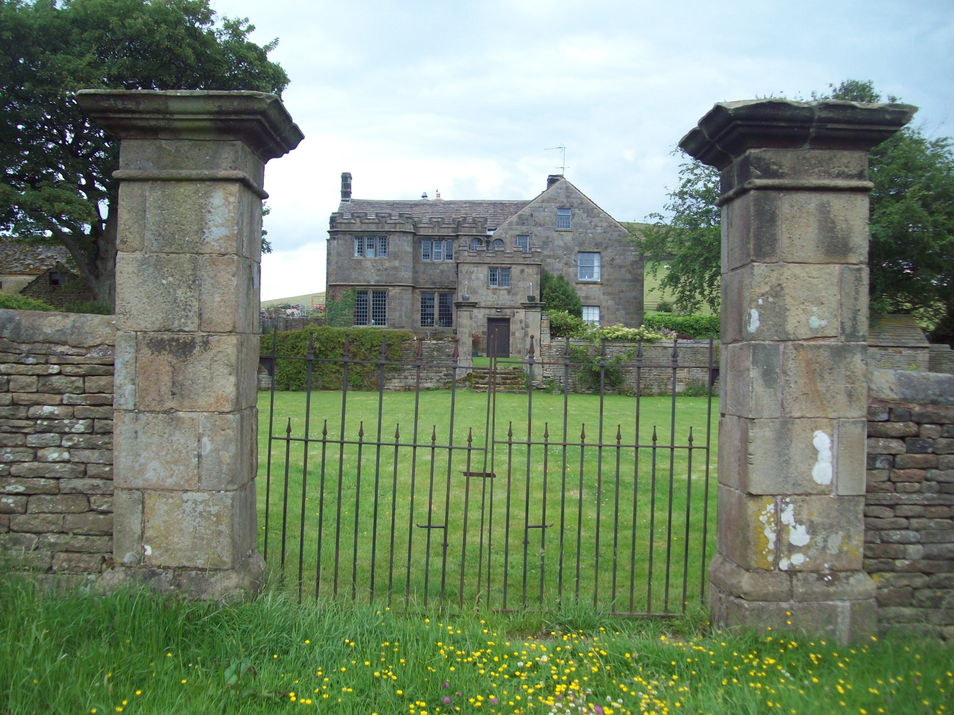
Highlow Hall
Highlow Hall is a historic Elizabethan manor house in Highlow civil parish, near Hathersage, Derbyshire, England. It was owned by the Eyre family from...

Jumber Brook
Jumber Brook is a stream in Eyam in the Derbyshire Peak District. The stream originates to the north of the village at Highcliffe. The brook flows south...

Mompesson's Well
Mompesson's Well is a 17th-century grade II listed water well in Eyam, Derbyshire. == History == The well is named for Church of England priest William...
Nearby Amenities
Located within 500m of 53.303849,-1.6808735Have you been to Gotherage Plantation?
Leave your review of Gotherage Plantation below (or comments, questions and feedback).