Dorcas Plantation
Wood, Forest in Warwickshire Tamworth
England
Dorcas Plantation

Dorcas Plantation is a woodland area located in the county of Warwickshire, England. Situated in the rural district of Wood, it is known for its picturesque forest scenery and natural beauty. The plantation covers a vast area of land and is a popular destination for nature enthusiasts and outdoor enthusiasts alike.
The woodland is home to a diverse range of flora and fauna, including a variety of tree species such as oak, beech, and birch. The dense forest provides a habitat for numerous wildlife species, including deer, foxes, and a wide variety of bird species. It is a haven for birdwatchers and offers opportunities for spotting rare and migratory birds.
Dorcas Plantation is well-maintained and features several walking trails and paths that wind through the forest, allowing visitors to explore the area and enjoy its tranquil surroundings. The trails vary in difficulty, making it suitable for hikers of all levels.
The plantation also offers recreational activities such as picnicking and camping, providing visitors with a chance to immerse themselves in the natural surroundings. Additionally, there are designated areas for birdwatching and wildlife observation.
Dorcas Plantation is easily accessible by road and is located in close proximity to the town of Wood, offering convenient amenities and services for visitors. With its stunning forest landscape and abundance of wildlife, Dorcas Plantation provides a serene escape from the bustling city life and is a must-visit destination for nature lovers in Warwickshire.
If you have any feedback on the listing, please let us know in the comments section below.
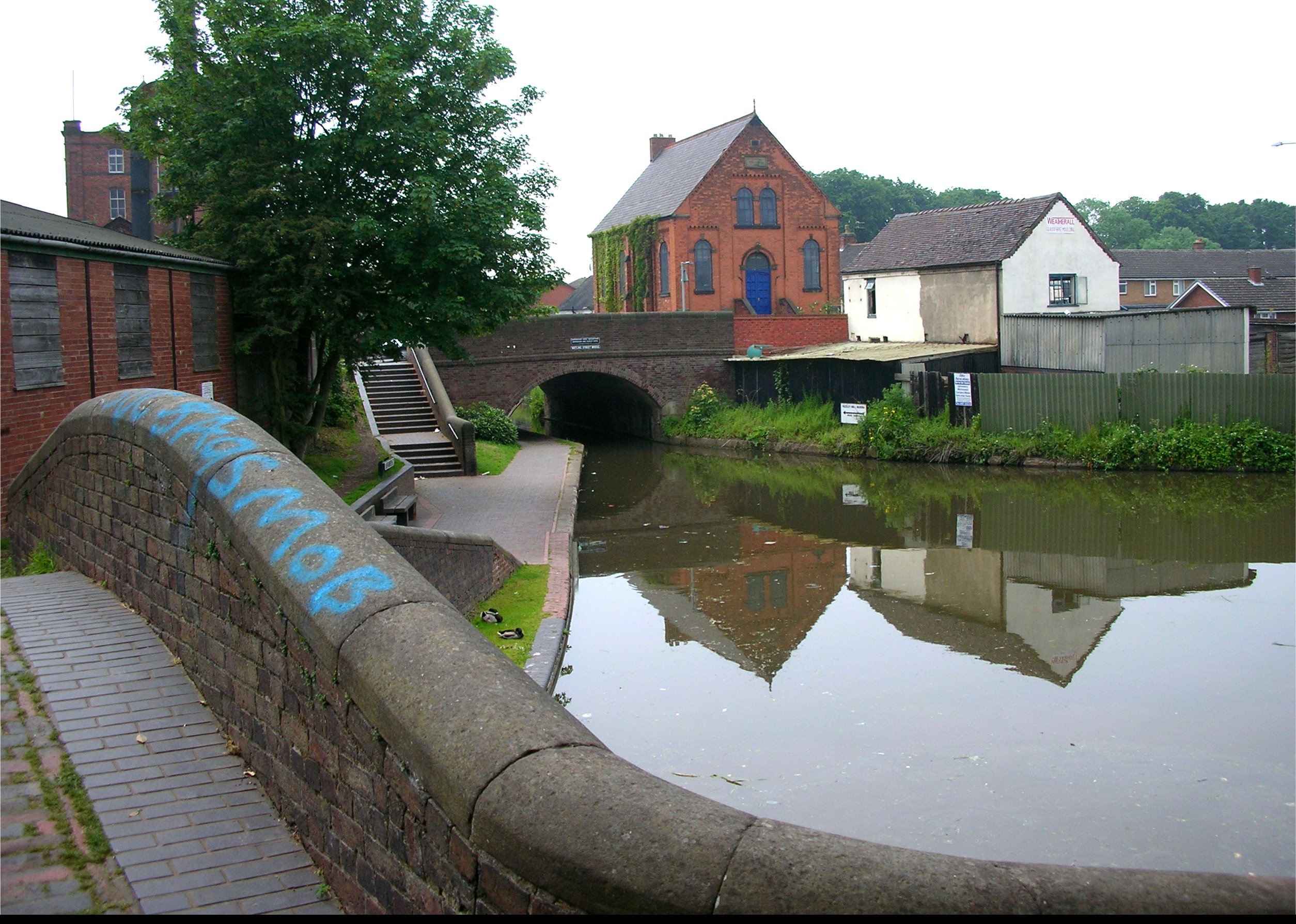
Dorcas Plantation Images
Images are sourced within 2km of 52.606136/-1.6871901 or Grid Reference SK2100. Thanks to Geograph Open Source API. All images are credited.


Dorcas Plantation is located at Grid Ref: SK2100 (Lat: 52.606136, Lng: -1.6871901)
Administrative County: Staffordshire
District: Tamworth
Police Authority: Staffordshire
What 3 Words
///scale.moods.paper. Near Fazeley, Staffordshire
Nearby Locations
Related Wikis
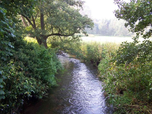
Bourne Brook
The Bourne Brook or Black Brook, as it is known in its upper reaches, is a tributary of the River Tame in Staffordshire, England. == Course == From its...
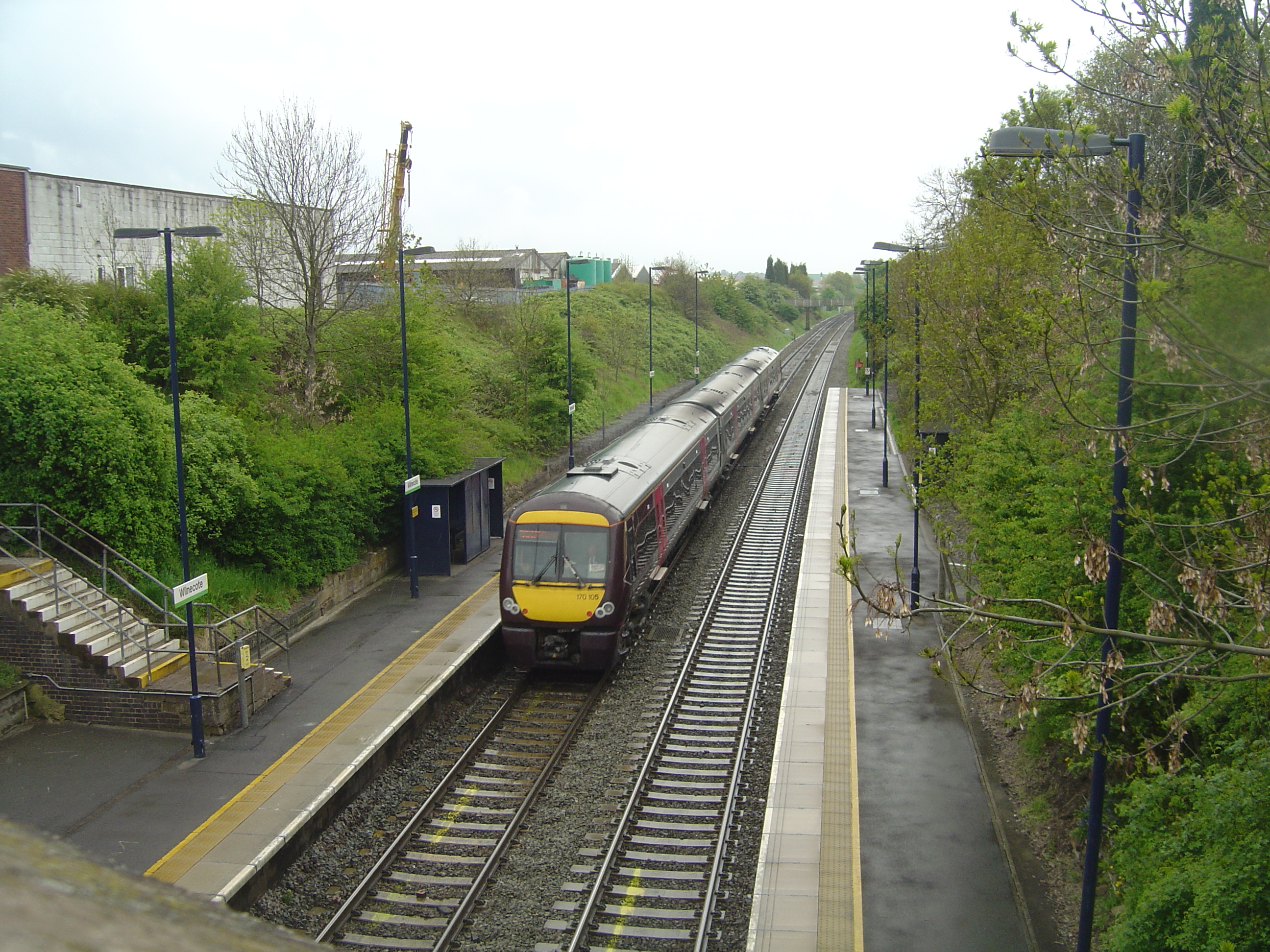
Wilnecote railway station
Wilnecote railway station is a small unmanned station serving Wilnecote 1.5 miles (2 km) south of Tamworth town centre in Staffordshire, England. The station...

Coton Green F.C.
Coton Green Football Club is a football club based in Tamworth, Staffordshire, England. They are currently members of the Midland League Division One and...
Dosthill
Dosthill is an area of Tamworth, Staffordshire, 2.5 miles south of the town centre, and close to the River Tame. The area is mostly residential, centering...
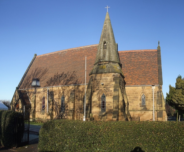
St Paul's Church, Dosthill
St Paul's Church, Dosthill is a Grade II listed parish church in the Church of England in Dosthill, Staffordshire, England. == History == The foundation...
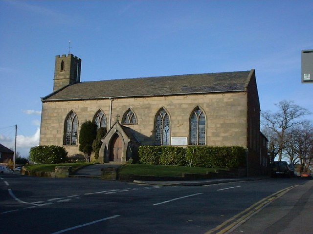
Wilnecote
Wilnecote (pronounced Wilncutt) is a suburban area about two miles (3.2 km) south-east of Tamworth, in the Tamworth district, in the county of Staffordshire...
Fazeley Junction
Fazeley Junction (grid reference SK202020) is the name of the canal junction where the authorised Birmingham and Fazeley Canal terminates and meets the...
The Wilnecote School
The Wilnecote School (formerly Wilnecote High School) is a co-educational secondary school located in Wilnecote (near Tamworth) in the English county of...
Related Videos
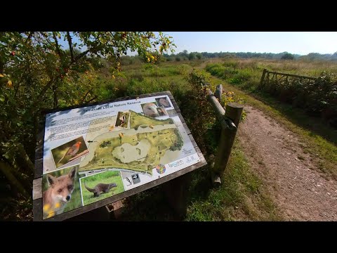
Peaceful Walk through Tameside Nature Reserve, UK Walking Tour, English Countryside in 4K.
Peaceful Walk through Tameside Nature Reserve, UK Walking Tour, English Countryside in 4K. A quiet and peaceful walk ...
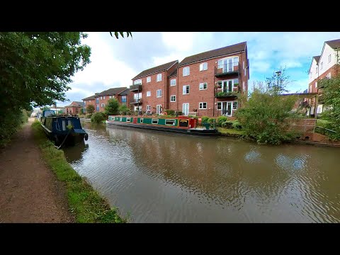
Peaceful Canal Walk to Fazeley Junction. English Countryside 4K. UK Walking Tour.
Peaceful Canal Walk to Fazeley Junction. English Countryside 4K. UK Walking Tour. Walk along the Birmingham & Fazeley Canal ...

Top Rides in Drayton Manor NEW Vikings | May Bank Holiday Tour
A whole land of discovery Experience a whole new land of discovery in Vikings! Enjoy our all-new, exhilarating rides and ...

Drayton Manor Adventure Cove BEST RIDES | Bank Holiday
Immerse yourself in a nautical adventure Adventure Cove is a nautical themed zone for the whole family to enjoy; with fun add-ons ...
Nearby Amenities
Located within 500m of 52.606136,-1.6871901Have you been to Dorcas Plantation?
Leave your review of Dorcas Plantation below (or comments, questions and feedback).