Cockedhat Belt
Wood, Forest in Yorkshire Richmondshire
England
Cockedhat Belt
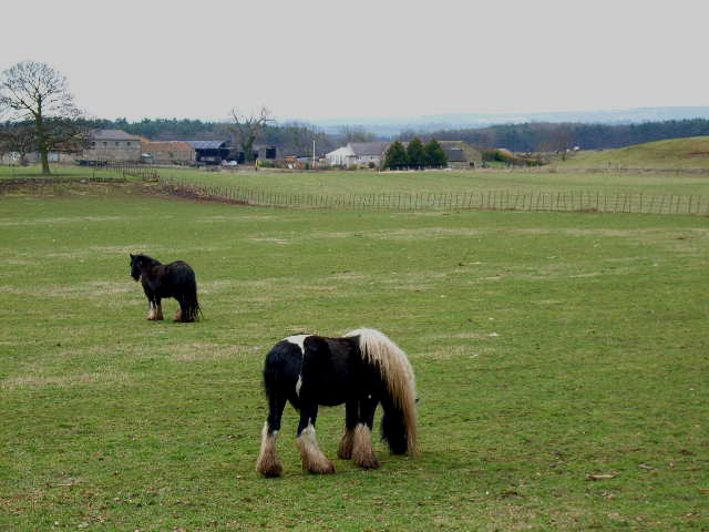
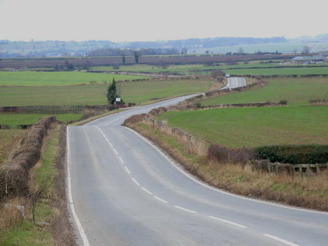
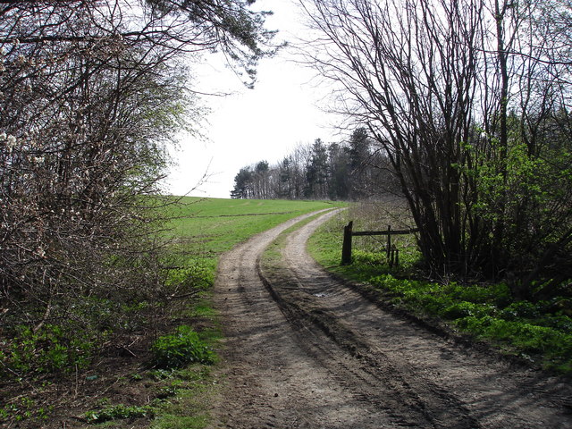
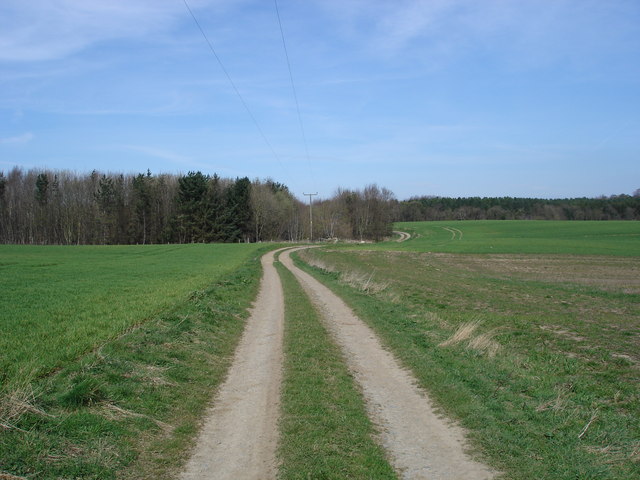
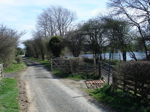
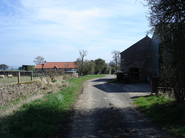
Cockedhat Belt is a picturesque woodland area located in Yorkshire, England. This serene forest is nestled in the heart of the countryside, offering visitors a tranquil escape from the bustling city life. Covering an extensive area, Cockedhat Belt is known for its dense and diverse vegetation, making it a haven for nature enthusiasts and hikers alike.
The woodland is home to a rich variety of plant and animal species, creating a thriving ecosystem. Tall, majestic oak trees dominate the landscape, providing a natural canopy that filters sunlight and creates a cool, shaded environment below. Other tree species, such as beech, birch, and pine, can also be found in abundance, adding to the area's unique charm.
Nature lovers can enjoy leisurely walks along the well-maintained trails that wind through the woodland. These paths offer breathtaking views of the forest and its surroundings, with occasional glimpses of wildlife such as deer, squirrels, and a plethora of bird species.
Cockedhat Belt's peaceful ambiance makes it a popular spot for picnickers and those seeking a moment of quiet reflection. The air is filled with the sweet scent of wildflowers, and the gentle rustling of leaves provides a soothing soundtrack to the experience.
The forest is easily accessible, with ample parking facilities and nearby amenities. Whether you're a seasoned hiker or simply looking for a serene escape, Cockedhat Belt in Yorkshire promises a rejuvenating and enchanting experience amidst the beauty of nature.
If you have any feedback on the listing, please let us know in the comments section below.
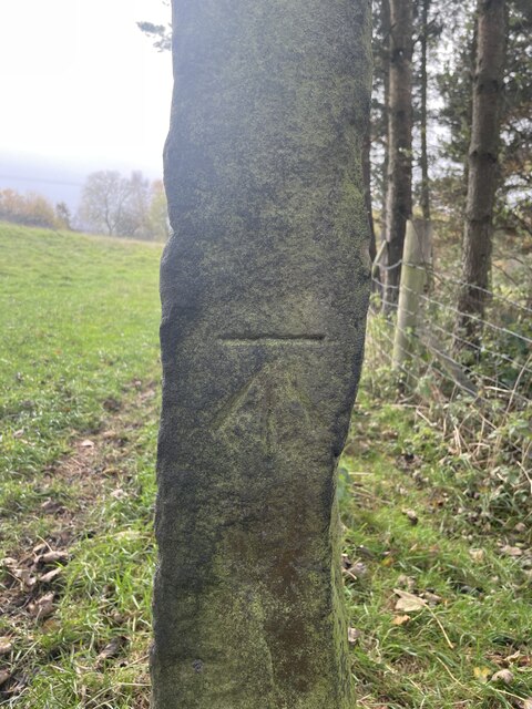
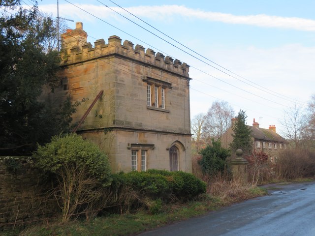
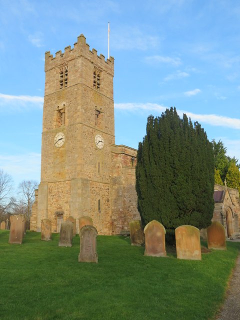
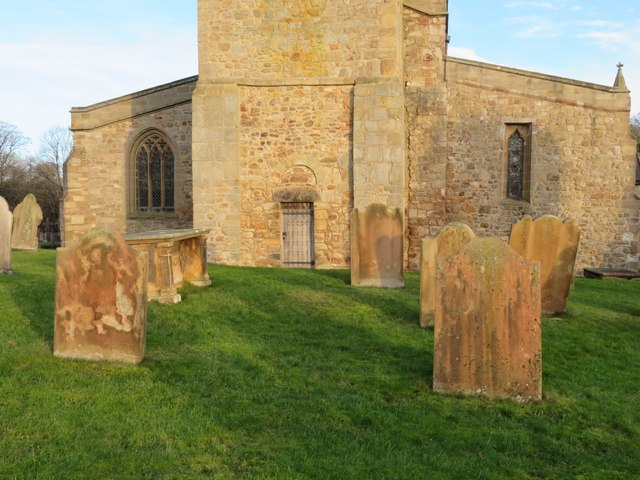
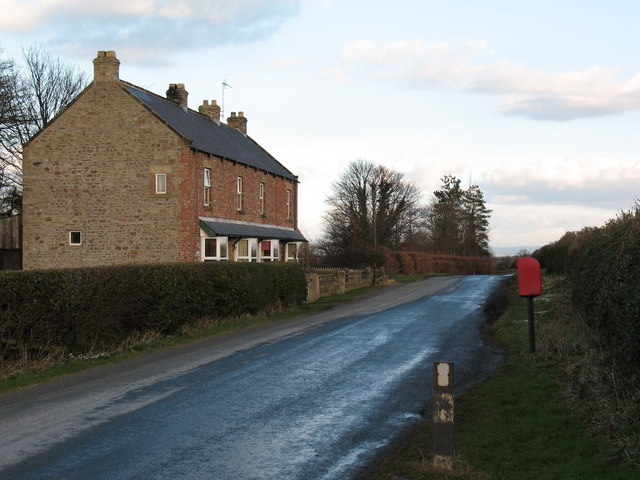
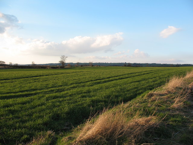
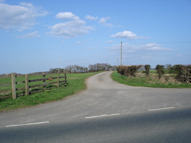
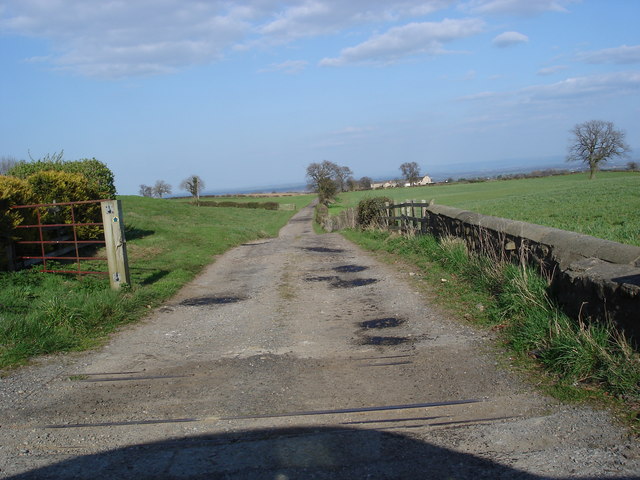
Cockedhat Belt Images
Images are sourced within 2km of 54.329486/-1.6750676 or Grid Reference SE2192. Thanks to Geograph Open Source API. All images are credited.
Cockedhat Belt is located at Grid Ref: SE2192 (Lat: 54.329486, Lng: -1.6750676)
Division: North Riding
Administrative County: North Yorkshire
District: Richmondshire
Police Authority: North Yorkshire
What 3 Words
///laminated.newsstand.exhaling. Near Catterick, North Yorkshire
Nearby Locations
Related Wikis

Arrathorne
Arrathorne is a hamlet and civil parish in the former Richmondshire district of North Yorkshire, England. The settlement is 6 miles (9 km) south of Richmond...

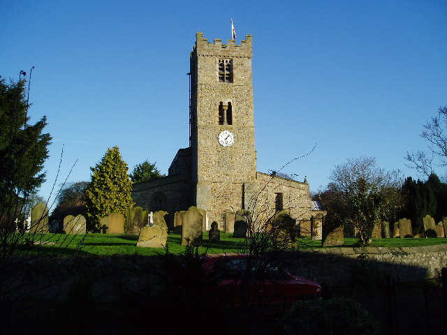
Church of St Mary the Virgin, Hornby
St Mary's Church Hornby, is the parish church for the village of Hornby, Richmondshire in North Yorkshire, England. The church is one of six in the Benefice...

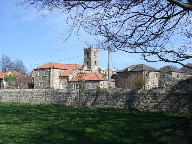
Hornby, Richmondshire
Hornby is a small village and civil parish located about 4 miles (6.4 km) north-west of Bedale. It is part of the non-metropolitan district of Richmondshire...

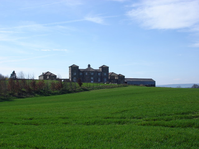
Hornby Castle, North Yorkshire
Hornby Castle is a grade I listed fortified manor house on the edge of Wensleydale between Bedale and Leyburn, in the county of North Yorkshire, England...
Have you been to Cockedhat Belt?
Leave your review of Cockedhat Belt below (or comments, questions and feedback).