Church Plantation
Wood, Forest in Yorkshire Harrogate
England
Church Plantation

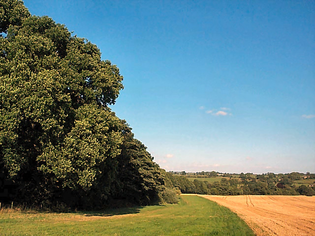
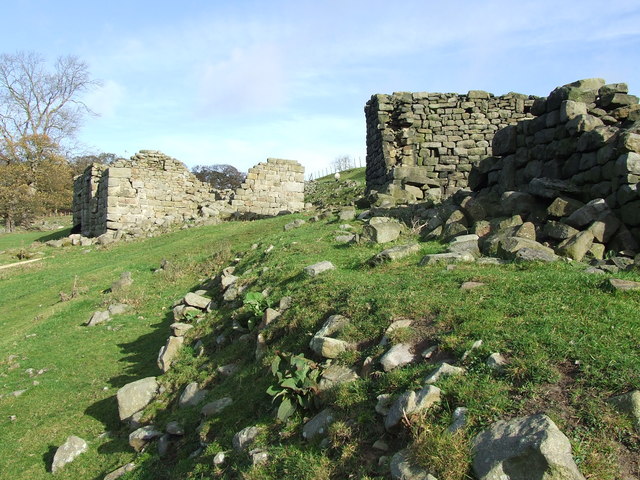
Church Plantation is a wooded area located in the county of Yorkshire, England. Situated in the heart of a picturesque forest, this plantation is known for its serene and natural beauty. The woodland is home to a diverse range of plant and animal species, making it a popular destination for nature enthusiasts and wildlife photographers.
Covering an extensive area, Church Plantation is characterized by its thick canopy of trees, providing ample shade and shelter for the various flora and fauna that inhabit the area. The plantation is predominantly made up of deciduous trees such as oak, birch, and beech, which create a vibrant display of colors during the autumn season.
Visitors to Church Plantation can enjoy a peaceful walk along the well-maintained trails that wind through the forest. These trails offer an opportunity to immerse oneself in the tranquility of nature, while also providing a chance to spot some of the woodland creatures that call this area home. Common sightings include deer, squirrels, and a variety of bird species.
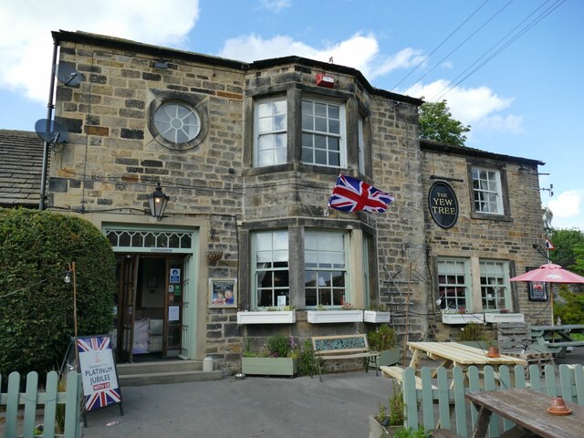
The plantation is also home to a small, picturesque church that adds to the charm of the area. This historic church, with its rustic architecture and peaceful surroundings, provides a serene setting for reflection and contemplation.
In addition to its natural beauty, Church Plantation offers a range of recreational activities such as hiking, birdwatching, and photography. It is a popular destination for families, nature lovers, and individuals seeking a retreat from the bustling city life.
Overall, Church Plantation in Yorkshire is a haven of tranquility, offering visitors a chance to connect with nature and enjoy the beauty of the English countryside.
If you have any feedback on the listing, please let us know in the comments section below.
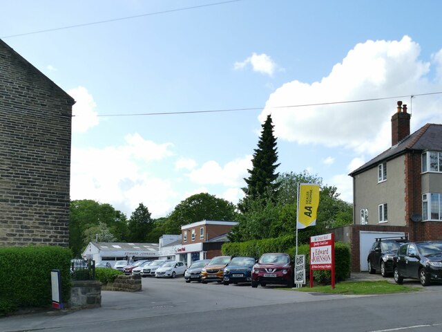
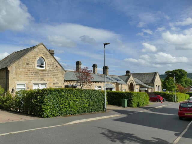
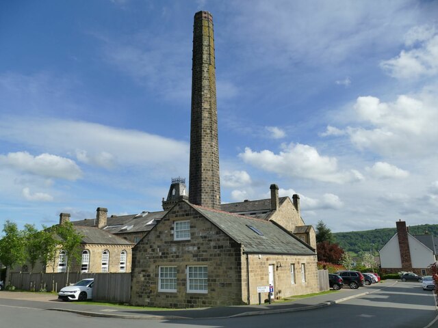
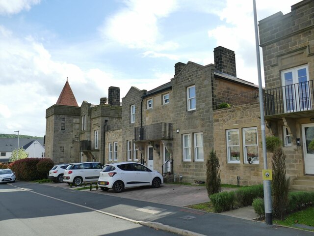
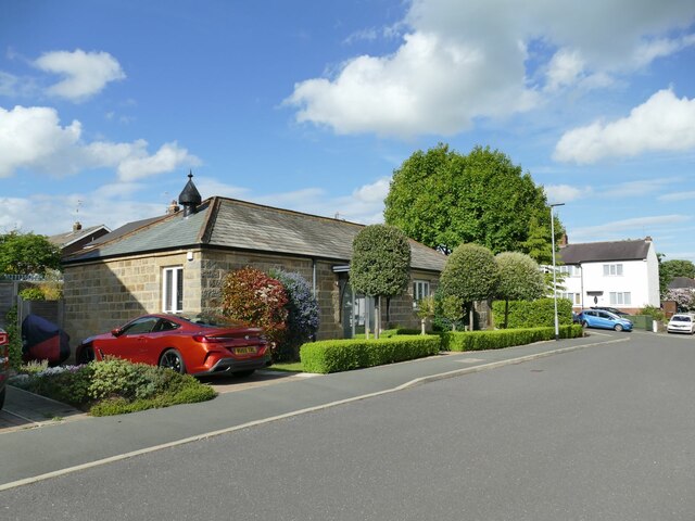
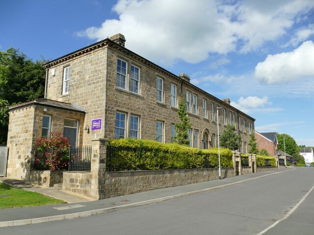
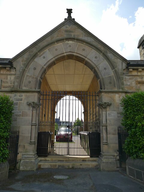
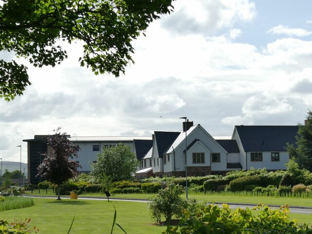
Church Plantation Images
Images are sourced within 2km of 53.926848/-1.6790988 or Grid Reference SE2147. Thanks to Geograph Open Source API. All images are credited.


Church Plantation is located at Grid Ref: SE2147 (Lat: 53.926848, Lng: -1.6790988)
Division: West Riding
Administrative County: North Yorkshire
District: Harrogate
Police Authority: North Yorkshire
What 3 Words
///playroom.viewers.waltzes. Near Otley, West Yorkshire
Nearby Locations
Related Wikis
Farnley, North Yorkshire
Farnley is a village and civil parish in the Harrogate district of North Yorkshire, England, near Otley, West Yorkshire. The name "Farnley" indicates that...

Farnley Hall, North Yorkshire
Farnley Hall is a stately home in Farnley, North Yorkshire, England. It is located near Otley. The original early seventeenth-century house was added to...
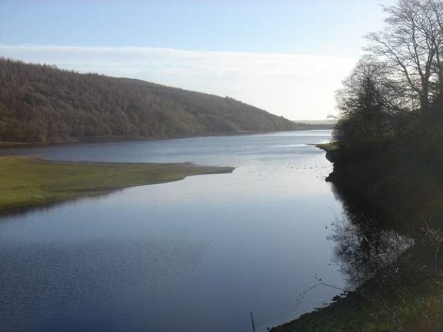
Lindley Wood Reservoir
Lindley Wood Reservoir is located in the Washburn valley north of Otley in Yorkshire, England. == History == The reservoir was built by navvies between...
Newall with Clifton
Newall with Clifton (historically also spelt Newell with Clifton) is a civil parish in North Yorkshire, England. It lies two miles north of Otley in West...

Prince Henry's Grammar School, Otley
Prince Henry's Grammar School (Specialist Language College), also known as Prince Henry's or PHGS, is a secondary school and sixth form established in...

Wharfedale Hospital
Wharfedale Hospital (formerly known as Wharfedale General Hospital) is located in the market town of Otley, West Yorkshire, England, and is managed by...

Newall, West Yorkshire
Newall (historically also spelt Newell) is an area of Otley in West Yorkshire, England. It lies on the north bank of the River Wharfe, across Otley Bridge...
Lindley, North Yorkshire
Lindley is a village and civil parish in the Harrogate district of North Yorkshire, England. It is near Lindley Wood Reservoir and 1 mile north of Otley...
Nearby Amenities
Located within 500m of 53.926848,-1.6790988Have you been to Church Plantation?
Leave your review of Church Plantation below (or comments, questions and feedback).