Beeftub Plantation
Wood, Forest in Northumberland
England
Beeftub Plantation
Beeftub Plantation is a picturesque woodland located in Northumberland, England. Situated in the heart of the county, the plantation covers an area of approximately 500 hectares (1,235 acres). The site is known for its diverse range of tree species, including oak, beech, and pine, creating a rich and vibrant forest landscape.
The plantation is renowned for its natural beauty and tranquil atmosphere, making it a popular destination for nature enthusiasts, hikers, and photographers. The dense woodland provides a haven for wildlife, with a variety of bird species, such as woodpeckers and owls, frequently spotted among the trees. Deer and other small mammals can also be found roaming the area.
Visitors to Beeftub Plantation can enjoy a network of well-maintained footpaths and trails, allowing them to explore the woodland's hidden treasures. The plantation offers stunning panoramic views of the surrounding countryside, with rolling hills and meandering streams adding to its charm.
The site's history can be traced back many centuries, with evidence of human activity dating back to prehistoric times. The plantation takes its name from a nearby natural feature, the Beeftub, which is a deep hollow formed by glacial erosion. This geological wonder adds an element of intrigue to the plantation's allure.
Beeftub Plantation is a hidden gem in Northumberland, offering visitors a chance to escape the hustle and bustle of everyday life and immerse themselves in the beauty of nature. Whether it's a leisurely stroll, a picnic, or birdwatching, this woodland sanctuary provides a serene and unforgettable experience for all who visit.
If you have any feedback on the listing, please let us know in the comments section below.
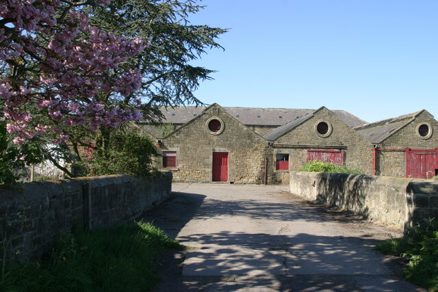
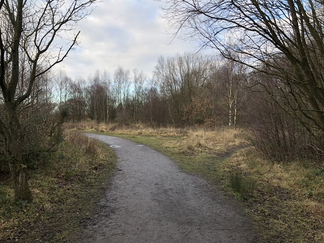
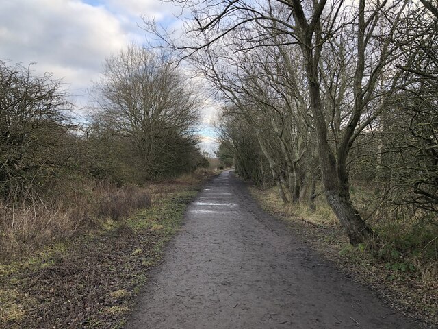
Beeftub Plantation Images
Images are sourced within 2km of 55.04014/-1.6705508 or Grid Reference NZ2171. Thanks to Geograph Open Source API. All images are credited.


![Aero Club, Wolsington (Newcastle International Airport) The Aero Club is now based in the original Wolsington (Newcastle) Airport. [Update Oct 2011 - I have been advised that the building was demolished at the end of 2010. Looking at newspaper archives it would also appear that the Aero Club went into liquidation although I'm not sure, at this time, if it still exists!]](https://s2.geograph.org.uk/photos/10/07/100770_35218019.jpg)


Beeftub Plantation is located at Grid Ref: NZ2171 (Lat: 55.04014, Lng: -1.6705508)
Unitary Authority: Newcastle upon Tyne
Police Authority: Northumbria
What 3 Words
///hogs.basis.loose. Near Dinnington, Tyne & Wear
Nearby Locations
Related Wikis

Havannah Nature Reserve
Havannah Nature Reserve lies to the west of the village of Hazlerigg, approximately five miles north of the centre of Newcastle upon Tyne in the north...
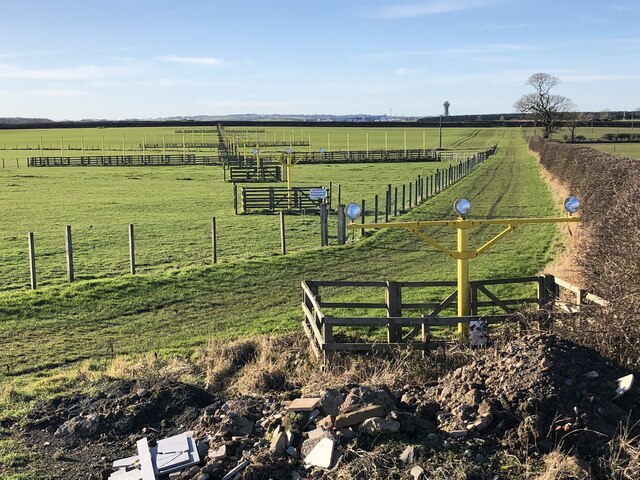
Newcastle International Airport
Newcastle International Airport (IATA: NCL, ICAO: EGNT) is an international airport in Newcastle upon Tyne, England. Located approximately 7.7 mi (12.4...

RAF Woolsington
Royal Air Force Woolsington, or more simply RAF Woolsington, was a civilian airfield that was taken over by the RAF in 1939. It was returned to civilian...

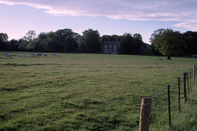
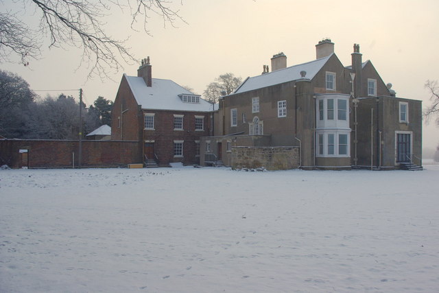
Woolsington Hall
Woolsington Hall is a Grade II* listed country house in a 92-acre (37 ha) estate, in the village of Woolsington, in the city of Newcastle, England, north...
Nearby Amenities
Located within 500m of 55.04014,-1.6705508Have you been to Beeftub Plantation?
Leave your review of Beeftub Plantation below (or comments, questions and feedback).