Blyth Plantation
Wood, Forest in Warwickshire North Warwickshire
England
Blyth Plantation

Blyth Plantation, located in Warwickshire, England, is a magnificent woodland area renowned for its natural beauty and rich wildlife. Spanning over a vast expanse of land, the plantation encompasses dense forests and rolling hills, making it a popular destination for nature enthusiasts and outdoor adventurers.
The plantation boasts a diverse range of tree species, with towering oaks, beeches, and birches dominating the landscape. These trees create a dense canopy, providing a haven for a variety of woodland creatures, including squirrels, badgers, and numerous bird species. The area is also home to several rare and protected species, such as the red kite and lesser spotted woodpecker, making it a significant site for conservation efforts.
Visitors to Blyth Plantation can indulge in a range of outdoor activities, from hiking and nature walks to cycling and birdwatching. The plantation offers a network of well-maintained trails, allowing visitors to explore the woodland and its surroundings at their own pace. The serene atmosphere and tranquil surroundings make it an idyllic spot for picnics and family outings.
Managed by the local forestry commission, Blyth Plantation is dedicated to preserving the natural ecosystem and promoting sustainable forestry practices. The plantation serves as an educational hub, offering informative displays and workshops to raise awareness about the importance of conservation and environmental stewardship.
In conclusion, Blyth Plantation in Warwickshire is a captivating woodland area that offers a peaceful retreat amidst nature's beauty. With its diverse flora and fauna, it presents an opportunity for outdoor enthusiasts to connect with the natural world and appreciate the wonders of the English countryside.
If you have any feedback on the listing, please let us know in the comments section below.
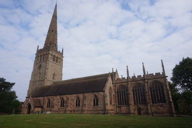
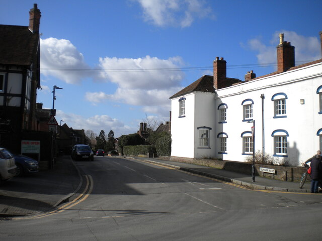
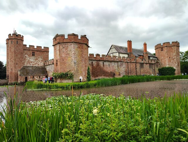
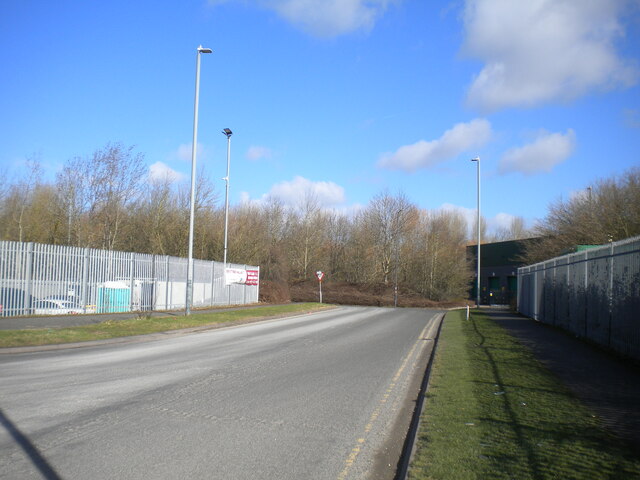
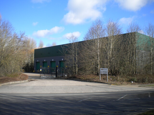
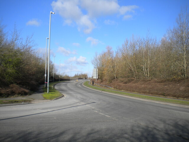
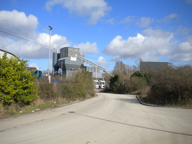
Blyth Plantation Images
Images are sourced within 2km of 52.511499/-1.6901311 or Grid Reference SP2190. Thanks to Geograph Open Source API. All images are credited.


Blyth Plantation is located at Grid Ref: SP2190 (Lat: 52.511499, Lng: -1.6901311)
Administrative County: Warwickshire
District: North Warwickshire
Police Authority: Warwickshire
What 3 Words
///digestion.waistcoat.deflate. Near Water Orton, Warwickshire
Nearby Locations
Related Wikis

Blythe End
Blythe End is a hamlet in the North Warwickshire district of Warwickshire, England. Blythe End is halfway between Coleshill (where the population details...
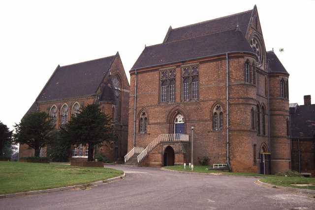
Blyth Hall
Blyth Hall is a privately owned mansion house on the banks of the River Blythe situated near Shustoke, Warwickshire. It is a Grade I listed building. The...
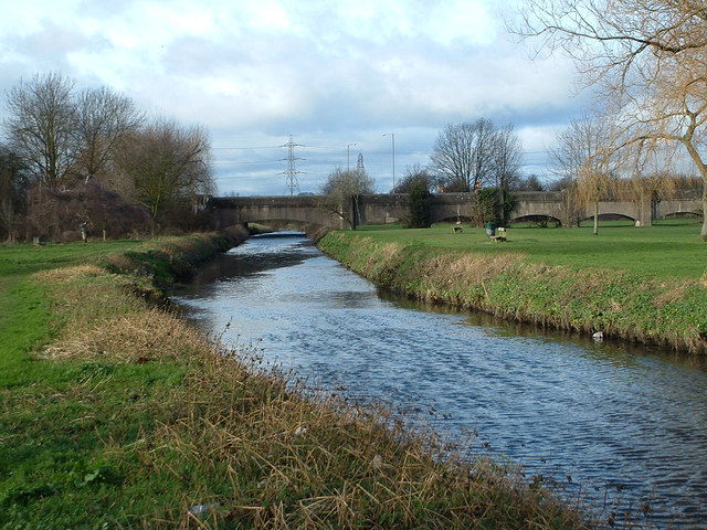
River Cole, West Midlands
The River Cole is a 25 miles (40 km) river in the English Midlands. It rises on the lower slopes of Forhill, one of the south-western ramparts of the Birmingham...
Pumping Station, Whitacre Waterworks
The Pumping Station at Whitacre Waterworks, Shustoke, Warwickshire, is a Victorian Civic Gospel pumping house built in circa 1872. Along with the construction...
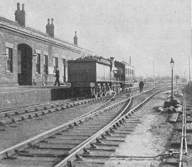
Whitacre Junction railway station
Whitacre Junction railway station was opened in 1864 by the Midland Railway. It served the village of Whitacre Heath, Warwickshire, England. == History... ==

River Bourne, Warwickshire
The River Bourne flows for 10.9 miles (17.6 km) through North Warwickshire, England, and is a tributary of the River Tame. In the 19th century, the river...
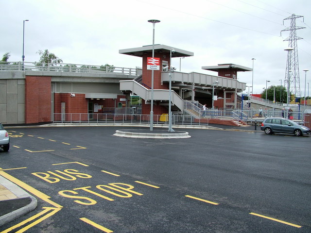
Coleshill Parkway railway station
Coleshill Parkway is a railway station at Hams Hall on the Birmingham to Peterborough railway line, serving Coleshill in Warwickshire, England. Sitting...

North Warwickshire (UK Parliament constituency)
North Warwickshire is a constituency represented in the House of Commons of the UK Parliament since 2015 by Craig Tracey, a Conservative.Under the 2023...
Nearby Amenities
Located within 500m of 52.511499,-1.6901311Have you been to Blyth Plantation?
Leave your review of Blyth Plantation below (or comments, questions and feedback).