Weasel Coppice
Wood, Forest in Gloucestershire Cotswold
England
Weasel Coppice
Weasel Coppice is a charming woodland located in the county of Gloucestershire, England. Situated near the village of Coppice, the forest covers an area of approximately 50 acres and is renowned for its natural beauty and biodiversity.
The woodland is predominantly composed of native broadleaf trees, such as oak, beech, and ash, which create a dense canopy overhead. This rich vegetation provides a habitat for a variety of woodland animals, including deer, foxes, badgers, and an array of bird species. Birdwatchers and nature enthusiasts often visit Weasel Coppice to observe its diverse avian population, which includes woodpeckers, owls, and various songbirds.
Aside from its ecological significance, Weasel Coppice also holds historical value. It is believed to have been managed as a coppice woodland for centuries, with evidence of traditional woodland management practices still visible today. Coppicing involves cutting selected trees at ground level, allowing new growth to emerge. This technique was commonly used in the past to provide a sustainable source of timber for various purposes, such as fuel and building materials.
Weasel Coppice offers visitors numerous walking trails, allowing them to explore the woodland's tranquil and picturesque surroundings. The forest is particularly popular during the spring when bluebells carpet the forest floor, creating a breathtaking display of color. Nature lovers can also enjoy picnicking, photography, and simply immersing themselves in the peaceful ambiance of this natural gem.
Overall, Weasel Coppice is a captivating woodland that combines ecological significance with historical interest, making it an ideal destination for those seeking a connection with nature and a glimpse into the past.
If you have any feedback on the listing, please let us know in the comments section below.
Weasel Coppice Images
Images are sourced within 2km of 51.909121/-1.695962 or Grid Reference SP2123. Thanks to Geograph Open Source API. All images are credited.


![Icomb Pastures [1] A horse training establishment. This image is very similar to that of Jonathan Billinger <a href="https://www.geograph.org.uk/photo/280060">SP2223 : Barn near Icomb</a> taken some five years earlier. The horse paddocks have been built but there is no sign of the boat!](https://s2.geograph.org.uk/geophotos/02/36/69/2366914_c307b9f2.jpg)

![Icomb Pastures [2] A horse training establishment. Some of the smaller buildings are in need of some maintenance.](https://s1.geograph.org.uk/geophotos/02/36/69/2366921_0f3807db.jpg)

![Lower Farm [1] The farmhouse, seen from the footpath.](https://s1.geograph.org.uk/geophotos/02/36/69/2366933_b46d7ed7.jpg)
![Lower Farm [2] Seen from the footpath.](https://s1.geograph.org.uk/geophotos/02/36/69/2366937_1021a473.jpg)


![Icomb Pastures [3] Seen from the bridleway near Jay Farm is another view of Icomb Pastures. To the right is &#039;The barn with a view&#039; <a href="https://www.geograph.org.uk/photo/2366900">SP2123 : Barn with a view</a> in SP2123 and on the skyline is the communications mast atop Icomb Hill <a href="https://www.geograph.org.uk/photo/2366891">SP2022 : Icomb Hill mast</a> in SP2022.](https://s0.geograph.org.uk/geophotos/02/37/61/2376172_9cd4bc86.jpg)
Weasel Coppice is located at Grid Ref: SP2123 (Lat: 51.909121, Lng: -1.695962)
Administrative County: Gloucestershire
District: Cotswold
Police Authority: Gloucestershire
What 3 Words
///highlighted.banter.appoints. Near Stow on the Wold, Gloucestershire
Nearby Locations
Related Wikis

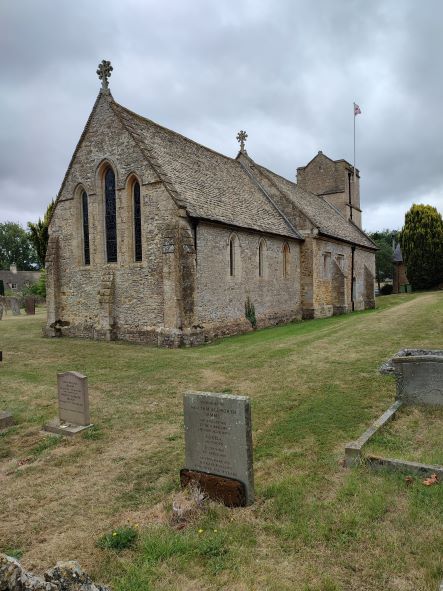
Church of St Mary, Icomb
The Anglican Church of St Mary at Icomb in the Cotswold District of Gloucestershire, England was built in the 15th century. It is a grade I listed building...

Icomb Place
Icomb Place (pronounced "Ickum") is a medieval manor house on the edge of the village of Icomb, near Stow on the Wold in Gloucestershire. The word "place...

Icomb
Icomb is a village in the Gloucestershire Cotswolds, near to Stow on the Wold. The population taken at the 2011 census was 202. The village appears as...

Stow-on-the-Wold railway station
Stow-on-the-Wold railway station was a station on the Great Western Railway's Banbury and Cheltenham Direct Railway that opened in 1881. Situated about...
Have you been to Weasel Coppice?
Leave your review of Weasel Coppice below (or comments, questions and feedback).