Darenth

Settlement in Kent Dartford

England

Darenth

Ladywood Road, Darenth, near Dartford, at sunset Ladywood Road in the village of Darenth, in north Kent.  This image was taken at sunset on an October day.
Ladywood Road, Darenth, near Dartford, at sunset Credit: Malc McDonald

Darenth is a small village located in the county of Kent, England. Situated approximately 20 miles southeast of London, it falls within the Dartford borough. The village has a population of around 2,500 residents.

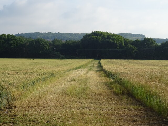
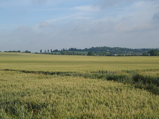
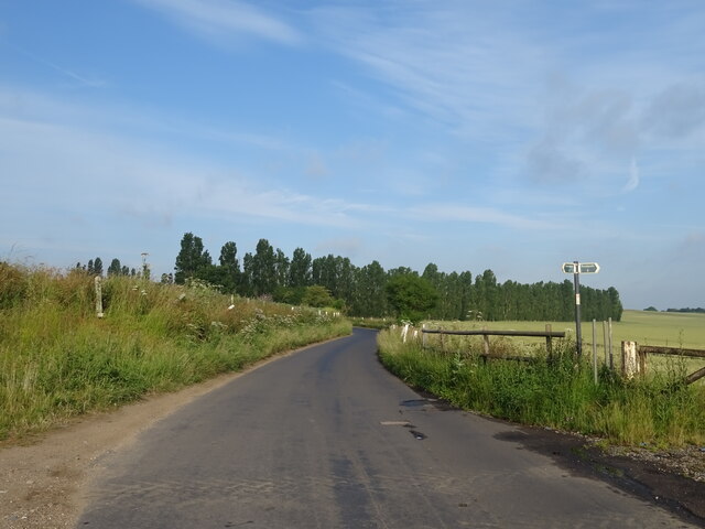
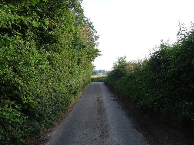
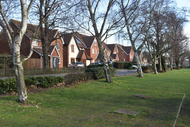
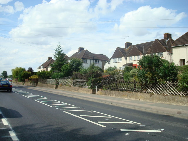
Darenth is known for its picturesque countryside setting, with rolling hills and green landscapes surrounding the area. The village is predominantly residential, with a mix of housing styles including traditional cottages, period homes, and modern developments. The tranquil atmosphere and scenic surroundings make Darenth an attractive place to live for those seeking a peaceful countryside lifestyle while still being within commuting distance of the capital city.

The village offers a range of amenities to its residents, including a local primary school, village hall, and a few pubs. Additionally, there are several shops and services available in the nearby town of Dartford, which is just a short drive away. Darenth is well-connected to the rest of Kent and London via road and rail links. The M25 motorway is easily accessible, providing convenient connections to other parts of the country.

For those who enjoy outdoor activities, Darenth has plenty to offer. The village is surrounded by beautiful countryside, making it ideal for walking, cycling, and exploring the nearby nature reserves. Darenth Valley Golf Course is also located in the area, providing a golfing facility for enthusiasts.

Overall, Darenth is a charming village that provides a peaceful and scenic living environment, with easy access to both rural and urban amenities.

If you have any feedback on the listing, please let us know in the comments section below.
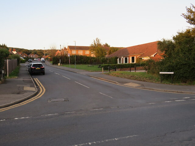
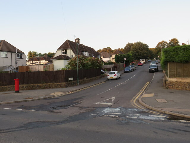
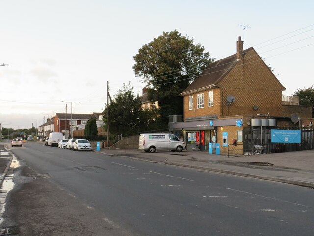
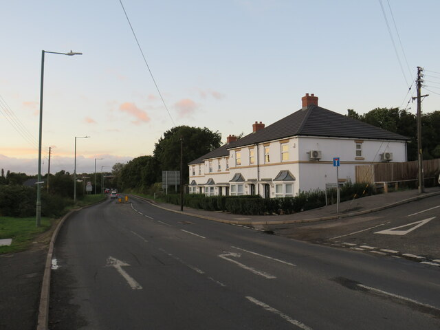
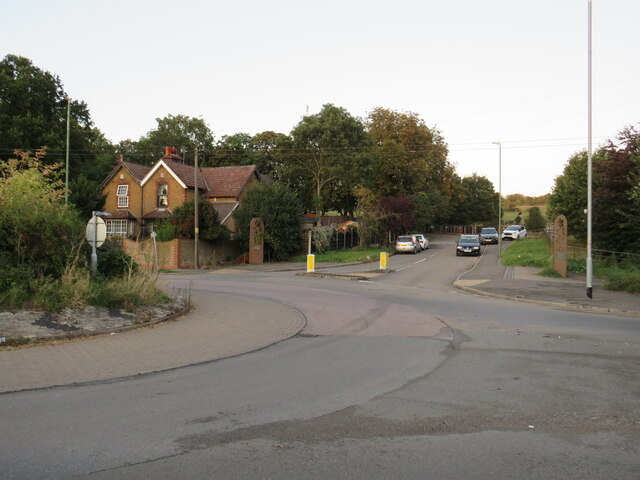
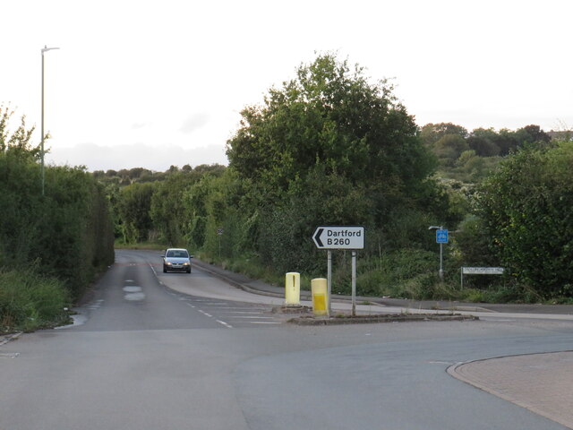
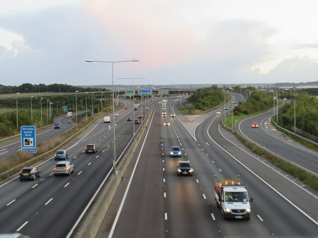
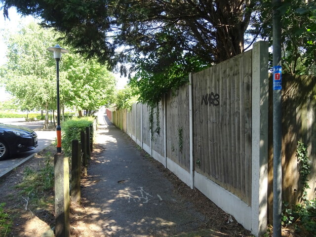
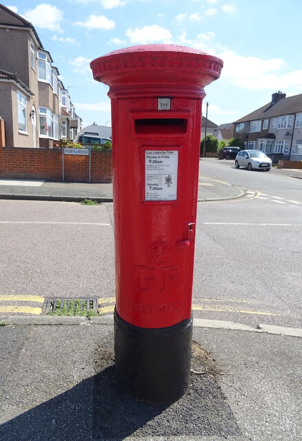
Darenth Images

Images are sourced within 2km of 51.419411/0.245049 or Grid Reference TQ5671. Thanks to Geograph Open Source API. All images are credited.

Ladywood Road, Darenth, near Dartford, at sunset Ladywood Road in the village of Darenth, in north Kent.  This image was taken at sunset on an October day.
Ladywood Road, Darenth, near Dartford, at sunset
Ladywood Road in the village of Darenth, in north Kent. This image was taken at sunset on an October day.
Hill Rise, Darenth Hill Rise in the village of Darenth, in north Kent, photographed at dusk on an October day.
Hill Rise, Darenth
Hill Rise in the village of Darenth, in north Kent, photographed at dusk on an October day.
Watchgate, Darenth, near Dartford Watchgate forms part of the route of the B260 road as it passes through the village of Dareth.  A Co-op local convenience store stands in the opposite side of the road.
Watchgate, Darenth, near Dartford
Watchgate forms part of the route of the B260 road as it passes through the village of Dareth. A Co-op local convenience store stands in the opposite side of the road.
Green Street, Darenth Green Street, heading out of the north Kent village of Darenth, forms part of the route of the B260 road.

This image was taken at dusk on an October evening, as the daylight was fading.
Green Street, Darenth
Green Street, heading out of the north Kent village of Darenth, forms part of the route of the B260 road. This image was taken at dusk on an October evening, as the daylight was fading.
Entrance to Darenth Country Park, near Dartford A driveway entering the Darenth Country Park in North Kent.  The driveway enters the park from a roundabout on the B260 road.
Entrance to Darenth Country Park, near Dartford
A driveway entering the Darenth Country Park in North Kent. The driveway enters the park from a roundabout on the B260 road.
Trolling Down Hill, near Dartford Trolling Down Hill forms part of the route of the B260 road in north Kent.

This image was taken in fading light, at dusk on an October day.
Trolling Down Hill, near Dartford
Trolling Down Hill forms part of the route of the B260 road in north Kent. This image was taken in fading light, at dusk on an October day.
Start of the M25, Dartford The M25 almost forms a complete ring around the edge of London.  However the ring is broken between Dartford in Kent and West Thurrock on the north side of the Thames, with the A282 Dartford tunnels and bridge filling in the gap.

This photo shows the start of the M25, heading south from Dartford as it starts its clockwise journey of 117 miles around the edge of London to West Thurrock.  Slip roads carry traffic onto and from the A2, which crosses the M25 about a kilometre to the south.

The photo was taken in fading light, at dusk on an October evening.
Start of the M25, Dartford
The M25 almost forms a complete ring around the edge of London. However the ring is broken between Dartford in Kent and West Thurrock on the north side of the Thames, with the A282 Dartford tunnels and bridge filling in the gap. This photo shows the start of the M25, heading south from Dartford as it starts its clockwise journey of 117 miles around the edge of London to West Thurrock. Slip roads carry traffic onto and from the A2, which crosses the M25 about a kilometre to the south. The photo was taken in fading light, at dusk on an October evening.
National Cycle Route 1 Heading east towards Gravesend.
National Cycle Route 1
Heading east towards Gravesend.
George V postbox on Fleet Road Postbox No. DA2 306.
George V postbox on Fleet Road
Postbox No. DA2 306.
Crop field and hedgerow Near Green Street Green.
Crop field and hedgerow
Near Green Street Green.
Crop field near Green Street Green
Footpath towards Green Road Off St Margaret's Road.
Footpath towards Green Road
Off St Margaret's Road.
Cereal crop off St Margaret's Road
St Margaret's Road Towards South Darenth.
St Margaret's Road
Towards South Darenth.
Roman Villa Road Heading north towards Darenth.
Roman Villa Road
Heading north towards Darenth.
View across recreation ground to housing estate and hospital Darent Valley Hospital backs onto this open space and housing.
View across recreation ground to housing estate and hospital
Darent Valley Hospital backs onto this open space and housing.
Trees beside Darenth Park Avenue
War memorial in former cemetery at Darenth Valley Country Park The memorial is to staff of the former hospital which stood on this site.
War memorial in former cemetery at Darenth Valley Country Park
The memorial is to staff of the former hospital which stood on this site.
Show me another place!

Darenth is located at Grid Ref: TQ5671 (Lat: 51.419411, Lng: 0.245049)

Administrative County: Kent

District: Dartford

Police Authority: Kent

What 3 Words

///visa.policy.duty. Near Darenth, Kent

Related Wikis

Church of St Margaret of Antioch, Darenth

The Church of St Margaret of Antioch at Darenth, Kent, is a church with Norman origins thought to be the third oldest in Kent and the sixth oldest in the...

Dartford (UK Parliament constituency)

Dartford is a constituency in Kent represented in the House of Commons of the UK Parliament since 2010 by Gareth Johnson of the Conservative Party. It...

Darenth

Darenth is a village and civil parish in the Borough of Dartford, Kent, England. It is located 3.4 miles south east of Dartford and 4.6 miles north east...

Sutton-at-Hone and Hawley

Sutton-at-Hone and Hawley is a civil parish within the Borough of Dartford in Kent, England. It lies to the south of the urban part of the Borough, and...

Nearby Amenities

Located within 500m of 51.419411,0.245049
Bench
Backrest: no
Material: wood
Lat/Long: 51.4195092/0.2416268
Barrier: kissing_gate
Foot: yes
Material: wood
Note: 0.3 m gap to the side - for dogs?
Lat/Long: 51.4218747/0.2393778
Barrier: bollard
Bollard Count: 1
Height: 1.1
Material: concrete
Lat/Long: 51.419102/0.244378
Barrier: kissing_gate
Material: metal
Lat/Long: 51.4214718/0.2428173
Barrier: kissing_gate
Material: metal
Lat/Long: 51.4206448/0.2404852
Parking
Capacity: 5
Parking: layby
Lat/Long: 51.4203543/0.2407216
Flagpole: ground
Man Made: flagpole
Lat/Long: 51.4195915/0.2427399
Entrance: yes
Lat/Long: 51.4209465/0.2400285
Power: pole
Lat/Long: 51.4188196/0.2426729
Fire Hydrant
Emergency: fire_hydrant
Fire Hydrant Type: underground
Lat/Long: 51.4195146/0.2417555
Country: UK
Flag Name: Union Jack
Flag Type: national
Flag Wikidata: Q83278
Man Made: flagpole
Subject: United Kingdom
Subject Wikidata: Q145
Lat/Long: 51.4193883/0.2417468
Power: pole
Lat/Long: 51.4192675/0.2413693
Street Lamp
Power: pole
Lat/Long: 51.419597/0.2424952
Street Lamp
Power: pole
Lat/Long: 51.4194414/0.2419594
Grit Bin
Lat/Long: 51.419546/0.2419299
Give Way
Lat/Long: 51.4195012/0.2418038
Parking
Access: private
Lat/Long: 51.4188062/0.242752
Parking
Access: private
Lat/Long: 51.4188572/0.2437337
Lane End
Place: hamlet
Lat/Long: 51.4212055/0.251122
Entrance: yes
Lat/Long: 51.4190393/0.2432502
The data included in this document is from www.openstreetmap.org. The data is made available under ODbL.

Have you been to Darenth?

Leave your review of Darenth below (or comments, questions and feedback).