Bunting's Hill Copse

Wood, Forest in Gloucestershire Cotswold

England

Bunting's Hill Copse

Oxfordshire Way Oxfordshire Way at Gawcombe
Oxfordshire Way Credit: Shaun Ferguson

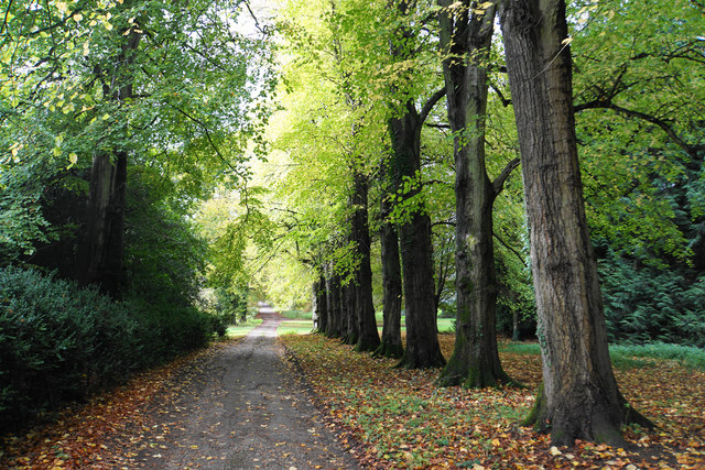
Bunting's Hill Copse is a picturesque woodland located in Gloucestershire, England. Spread across an area of approximately 80 acres, it is situated on a gentle slope of Bunting's Hill, offering breathtaking views of the surrounding countryside. The copse is predominantly made up of native broadleaf trees such as oak, beech, and ash, creating a diverse and vibrant woodland ecosystem.

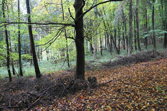
The copse is known for its rich biodiversity, providing a habitat for various species of flora and fauna. It is home to a variety of woodland birds, including woodpeckers, owls, and warblers, which can be heard chirping and singing throughout the year. The forest floor is adorned with a carpet of wildflowers in spring, adding vibrant colors to the landscape.

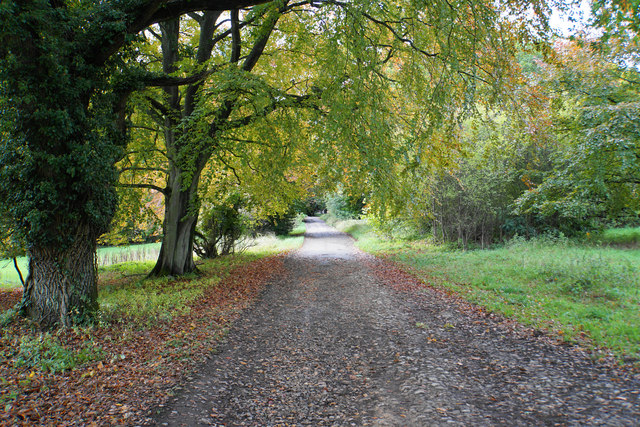
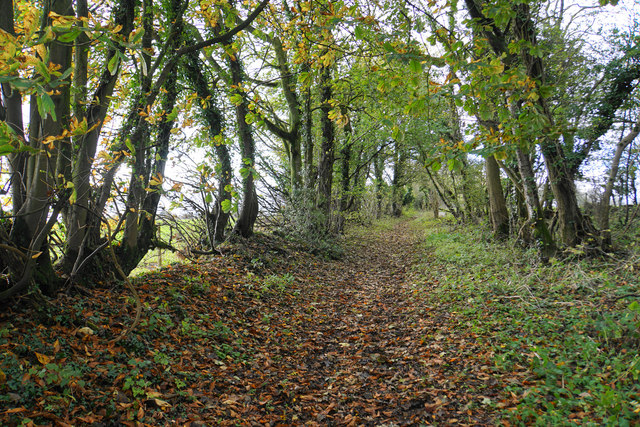
Bunting's Hill Copse is a popular destination for nature enthusiasts, hikers, and photographers. The well-marked trails winding through the woodland allow visitors to explore its beauty at their own pace. The tranquil atmosphere and serene surroundings make it an ideal spot for picnics, family outings, and peaceful walks.

The copse is managed by the local authorities, who ensure its preservation and conservation. They regularly carry out maintenance work, including tree planting, clearing invasive species, and maintaining footpaths, to sustain the natural beauty of the woodland.

Overall, Bunting's Hill Copse is a haven of tranquility and natural beauty, offering visitors a chance to immerse themselves in the wonders of a traditional English woodland.

If you have any feedback on the listing, please let us know in the comments section below.

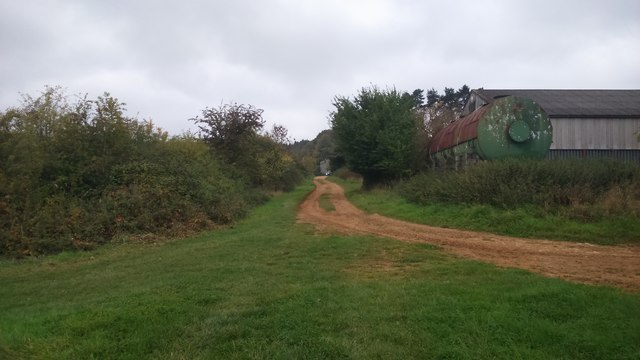
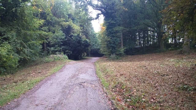
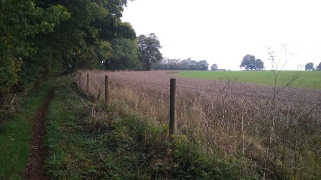
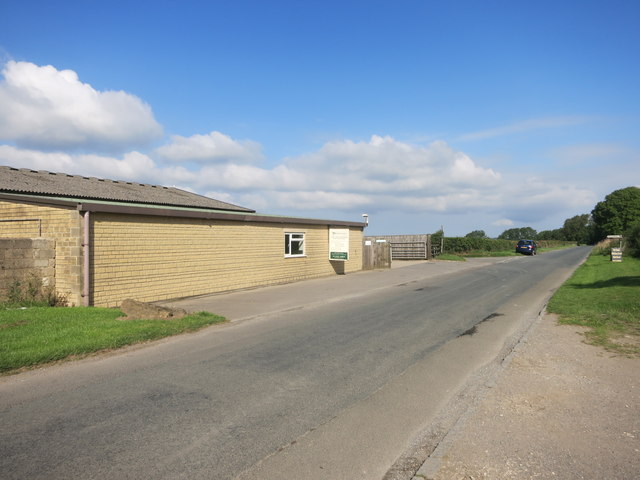
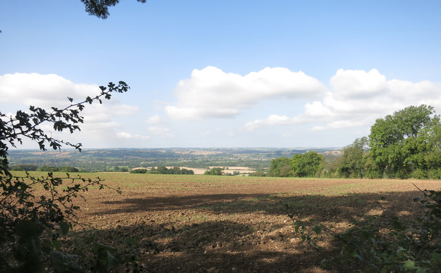
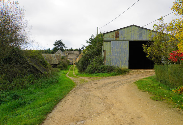
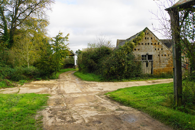
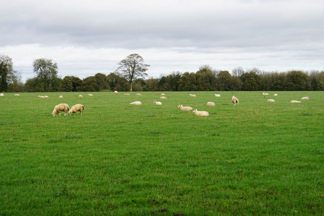
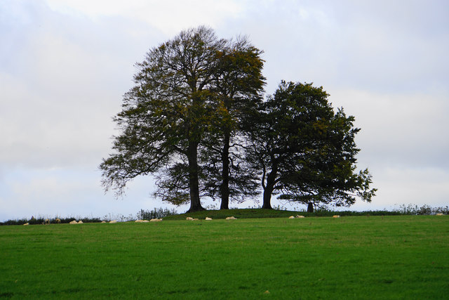
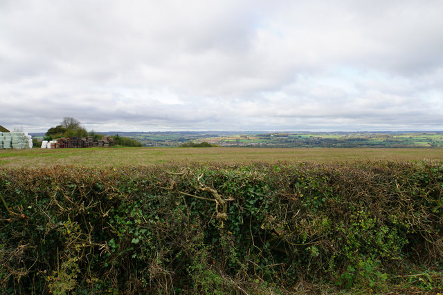
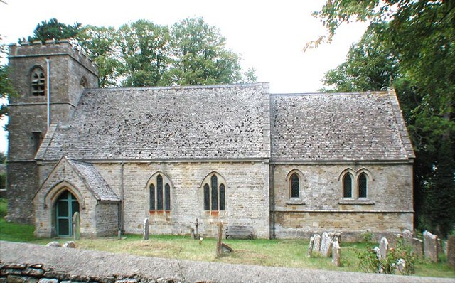
Bunting's Hill Copse Images

Images are sourced within 2km of 51.880038/-1.6970152 or Grid Reference SP2020. Thanks to Geograph Open Source API. All images are credited.

Oxfordshire Way Oxfordshire Way at Gawcombe
Oxfordshire Way
Oxfordshire Way at Gawcombe
Oxfordshire Way Oxfordshire Way heading up the drive from Gawcombe
Oxfordshire Way
Oxfordshire Way heading up the drive from Gawcombe
Oxfordshire Way Oxfordshire Way heading to Wyck Beacon Farm
Oxfordshire Way
Oxfordshire Way heading to Wyck Beacon Farm
Phipp Feeds, Wyck Beacon Animal food merchants in a hilltop location.
Phipp Feeds, Wyck Beacon
Animal food merchants in a hilltop location.
Old Car by Phipp's Not a very good shot straight into the sun. This is the road to Upper Rissington on top of Wyck Beacon by Phipp Feeds animal food merchants.
Old Car by Phipp's
Not a very good shot straight into the sun. This is the road to Upper Rissington on top of Wyck Beacon by Phipp Feeds animal food merchants.
View over the Windrush Valley The road past here runs along the top of a ridge and views like this can be seen through most field gates and gaps in the hedge on the western side.
Bourton on the Water can just about be made out in the centre of the picture.
View over the Windrush Valley
The road past here runs along the top of a ridge and views like this can be seen through most field gates and gaps in the hedge on the western side. Bourton on the Water can just about be made out in the centre of the picture.
Hot air balloon Floating over the Cotswolds on an October afternoon.
Hot air balloon
Floating over the Cotswolds on an October afternoon.
Farmland near Church Westcote Flat farmland in the catchment area of Westcote Brook and the River Evenlode.
Farmland near Church Westcote
Flat farmland in the catchment area of Westcote Brook and the River Evenlode.
Track from Gawcombe The route is the Oxfordshire Way. It descends to a plain which is all part of the drainage catchment area of the River Evenlode.
Track from Gawcombe
The route is the Oxfordshire Way. It descends to a plain which is all part of the drainage catchment area of the River Evenlode.
Track through Gawcombe The route of the Oxfordshire Way leads round to the right, avoiding many of the old buildings of the hamlet.
Track through Gawcombe
The route of the Oxfordshire Way leads round to the right, avoiding many of the old buildings of the hamlet.
Track and farm buildings at Gawcombe The top of the barn appears to accommodate a dovecote.
Track and farm buildings at Gawcombe
The top of the barn appears to accommodate a dovecote.
Line of trees near Gawcombe Part of the ornamental driveway to the hamlet.
Line of trees near Gawcombe
Part of the ornamental driveway to the hamlet.
Road to Gawcombe A private road passing through Gawcombe Woods.
Road to Gawcombe
A private road passing through Gawcombe Woods.
Gawcombe Woods Lining the side of a Cotswold ridge.
Gawcombe Woods
Lining the side of a Cotswold ridge.
The Oxfordshire Way on Wyck Beacon The path crosses the flat top of Wyck Beacon where gradients are hardly noticeable.
The Oxfordshire Way on Wyck Beacon
The path crosses the flat top of Wyck Beacon where gradients are hardly noticeable.
Sheep on Wyck Beacon The plateau at the top of the hill appears entirely flat.
Sheep on Wyck Beacon
The plateau at the top of the hill appears entirely flat.
The top of Wyck Beacon A trig pillar is by a stand of trees in a field without public access.
The top of Wyck Beacon
A trig pillar is by a stand of trees in a field without public access.
Field on Wyck Beacon Looking westward towards Bourton-on-the-Water. It is quite difficult to see over the hedge.
Field on Wyck Beacon
Looking westward towards Bourton-on-the-Water. It is quite difficult to see over the hedge.
Show me another place!

Bunting's Hill Copse is located at Grid Ref: SP2020 (Lat: 51.880038, Lng: -1.6970152)

Administrative County: Gloucestershire

District: Cotswold

Police Authority: Gloucestershire

What 3 Words

///pickle.shocking.emulated. Near Bourton on the Water, Gloucestershire

Related Wikis

Upper Rissington

Upper Rissington is a village and civil parish in the Cotswold district of Gloucestershire, England. It is located about two-and-a-half miles east of Bourton...

Westcote, Gloucestershire

Westcote is a civil parish in the Cotswold district, in the county of Gloucestershire, England. The village is about 4 miles (6 km) south-southeast of...

RAF Little Rissington

Royal Air Force Little Rissington or more simply RAF Little Rissington (ICAO: EGVL) is an Royal Air Force satellite station in Gloucestershire, England...

Little Rissington

Little Rissington is a village and civil parish about 3+1⁄2 miles (6 km) south of Stow-on-the-Wold in the Cotswold District of Gloucestershire, England...

Church of St Laurence, Wyck Rissington

The Anglican Church of St Laurence at Wyck Rissington in the Cotswold District of Gloucestershire, England was built in the 12th century. It is a grade...

Icomb

Icomb is a village in the Gloucestershire Cotswolds, near to Stow on the Wold. The population taken at the 2011 census was 202.The village appears as Iacumbe...

Icomb Place

Icomb Place (pronounced "Ickum") is a medieval manor house on the edge of the village of Icomb, near Stow on the Wold in Gloucestershire. The word "place...

Church of St Mary, Icomb

The Anglican Church of St Mary at Icomb in the Cotswold District of Gloucestershire, England was built in the 15th century. It is a grade I listed building...

Nearby Amenities

Located within 500m of 51.880038,-1.6970152
Bus Stop
Upper Rissington Turn
Bus: yes
Naptan AtcoCode: 1600GLC589
Naptan Bearing: NW
Naptan CommonName: Upper Rissington Turn
Naptan NaptanCode: glogjmgd
Naptan Street: A424
Naptan Verified: no
Public Transport: platform
Source: naptan_import
Lat/Long: 51.8824125/-1.6945447
Bus Stop
Upper Rissington Turn
Bus: yes
Naptan AtcoCode: 1600GLC590
Naptan Bearing: SE
Naptan CommonName: Upper Rissington Turn
Naptan NaptanCode: glogjmgj
Naptan Street: A424
Naptan Verified: no
Public Transport: platform
Source: naptan_import
Lat/Long: 51.8825409/-1.6943993
The data included in this document is from www.openstreetmap.org. The data is made available under ODbL.

Have you been to Bunting's Hill Copse?

Leave your review of Bunting's Hill Copse below (or comments, questions and feedback).