Carr Wood
Wood, Forest in Derbyshire Derbyshire Dales
England
Carr Wood
Carr Wood is a picturesque forest located in Derbyshire, England. It is situated in the southern part of the county, near the village of Ticknall. Covering an area of approximately 100 acres, the wood is a haven for nature lovers and outdoor enthusiasts.
Carr Wood is known for its diverse range of flora and fauna. The forest is primarily made up of oak and ash trees, with an undergrowth of bluebells, ferns, and wildflowers. The vibrant colors and scents of the woodland create a peaceful and serene environment, perfect for leisurely walks and picnics.
The wood is home to a variety of wildlife species, including deer, badgers, foxes, and a wide array of bird species. Birdwatchers flock to Carr Wood to catch a glimpse of rare species such as woodpeckers, tawny owls, and warblers. The forest also boasts a small pond that attracts amphibians and insects, providing a rich habitat for biodiversity.
Visitors to Carr Wood can explore its well-maintained trails, which wind through the trees and offer breathtaking views of the surrounding countryside. The wood is also intersected by a small stream, adding to its natural charm. There are designated areas for picnics and benches for visitors to rest and enjoy the tranquil surroundings.
Carr Wood is easily accessible by car and offers ample parking facilities. It is open to the public throughout the year, providing a peaceful retreat for nature lovers and an opportunity to connect with the great outdoors.
If you have any feedback on the listing, please let us know in the comments section below.
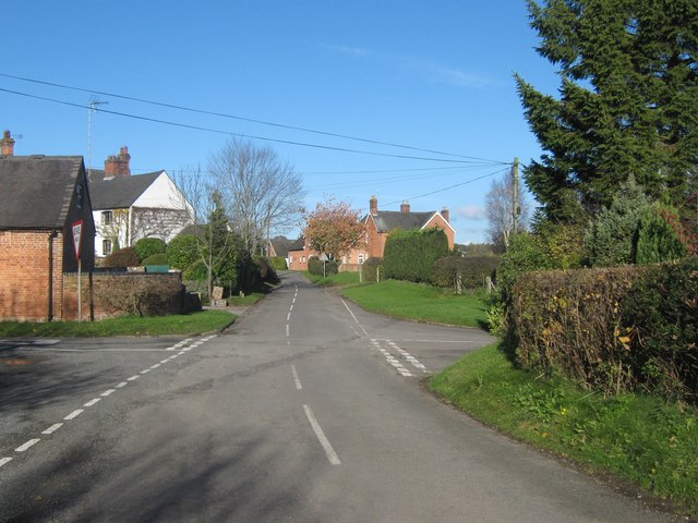
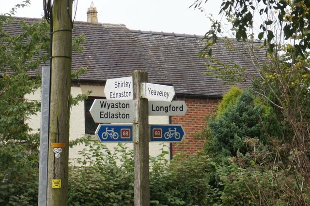
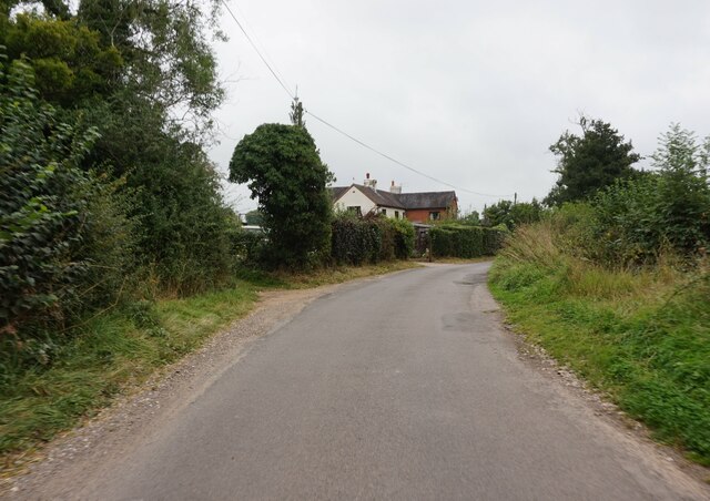
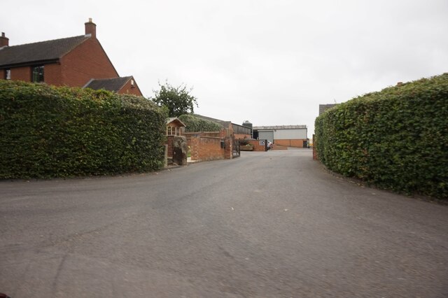
Carr Wood Images
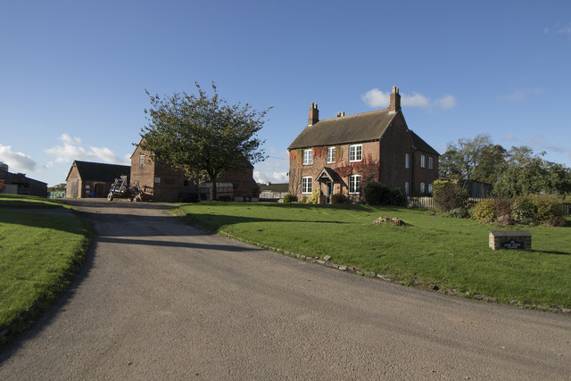
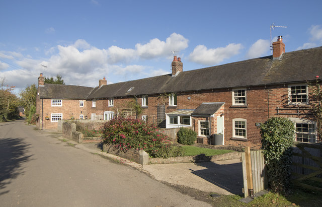
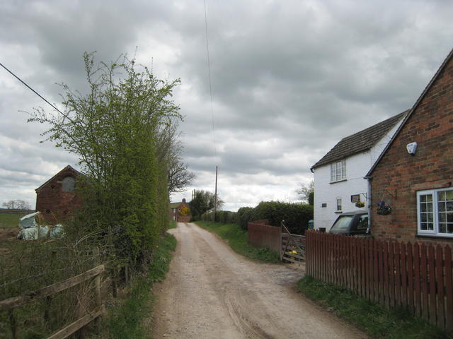
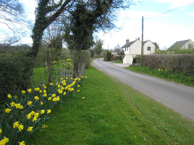
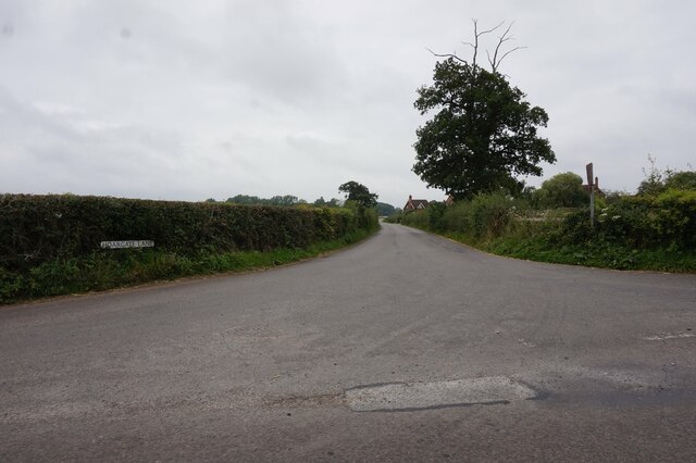
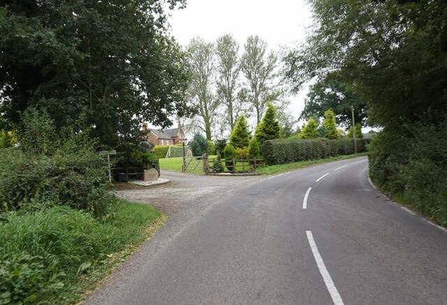
Images are sourced within 2km of 52.944593/-1.6910215 or Grid Reference SK2038. Thanks to Geograph Open Source API. All images are credited.


Carr Wood is located at Grid Ref: SK2038 (Lat: 52.944593, Lng: -1.6910215)
Administrative County: Derbyshire
District: Derbyshire Dales
Police Authority: Derbyshire
What 3 Words
///prank.radio.majoring. Near Mayfield, Staffordshire
Nearby Locations
Related Wikis

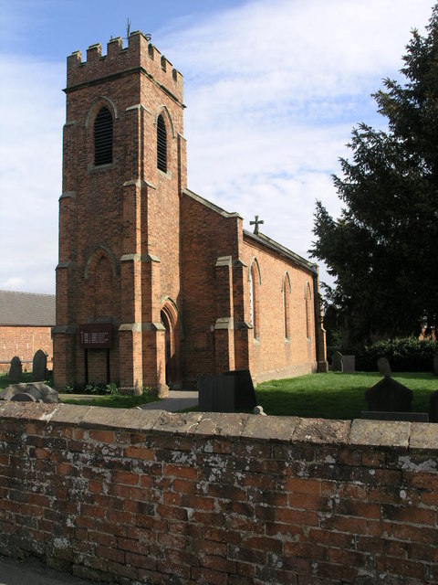
St Chad's Church, Longford
St Chad's Church, Longford is a Grade I listed parish church in the Church of England in Longford, Derbyshire. == History == The church dates from the...
Longford, Derbyshire
Longford is a village and civil parish in Derbyshire Dales district, Derbyshire, England. The population of the civil parish as of the 2011 census was...
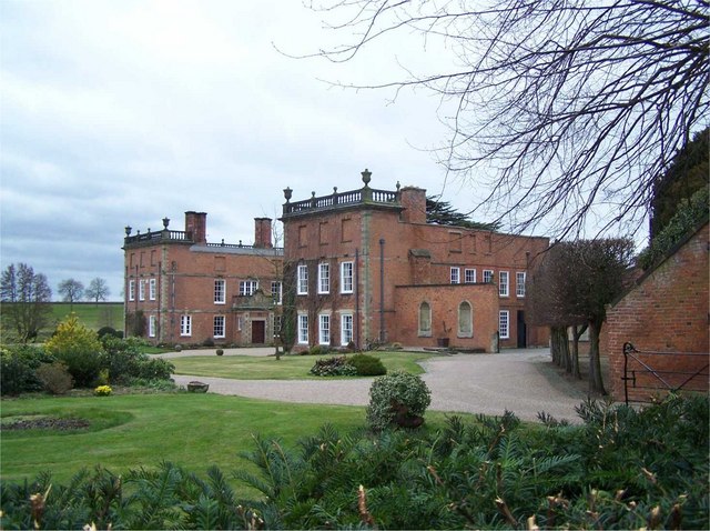
Longford Hall, Derbyshire
Longford Hall is a 16th-century country house at Longford in the Dales district of Derbyshire, England. It is a Grade II* listed building.The hall was...

Alkmonton medieval settlement
Alkmonton medieval settlement is an archaeological site, a deserted medieval village near the present-day village of Alkmonton, about 5 miles (8 km) south...

Rodsley
Rodsley is a small village and civil parish about 4 miles (6 km) south of Ashbourne in Derbyshire. As the population of the village was less than 100 at...

Hollington, Derbyshire
Hollington is a village and civil parish near the town of Uttoxeter and 5.5 miles (8.9 km) from the city of Derby, in the English county of Derbyshire...
Yeaveley
Yeaveley is a small village and civil parish near Rodsley and 4 miles south of Ashbourne in Derbyshire. The population of the civil parish (including Rodsley...
Holy Trinity Church, Yeaveley
Holy Trinity Church, Yeaveley is a Grade II listed parish church in the Church of England: 362 in Yeaveley, Derbyshire. == History == The foundation stone...
Nearby Amenities
Located within 500m of 52.944593,-1.6910215Have you been to Carr Wood?
Leave your review of Carr Wood below (or comments, questions and feedback).