Broadwell Hill Covert
Wood, Forest in Gloucestershire Cotswold
England
Broadwell Hill Covert
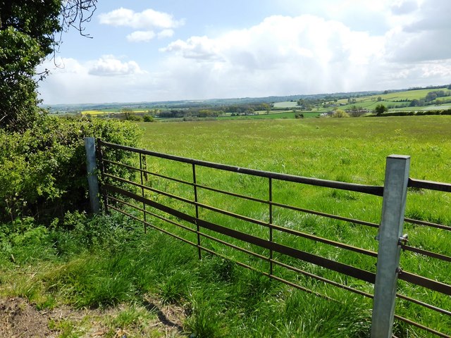
Broadwell Hill Covert is a woodland area located in Gloucestershire, England. Situated in the heart of the Forest of Dean, it is known for its natural beauty and diverse ecosystem. The woodland covers an area of approximately 100 acres, making it a significant part of the local landscape.
Broadwell Hill Covert is characterized by a mixture of deciduous and coniferous trees, including oak, beech, and pine. This variety creates a rich tapestry of colors throughout the seasons, with vibrant foliage in the autumn and lush greenery in the summer. The woodland floor is covered in a carpet of wildflowers, ferns, and mosses, adding to the enchanting atmosphere.
The area is a haven for wildlife, providing a habitat for a wide range of species. Birds such as woodpeckers, owls, and buzzards can be spotted, while mammals like deer, foxes, and badgers roam the woodland. The diverse flora and fauna make Broadwell Hill Covert popular among nature enthusiasts and photographers.
Visitors to Broadwell Hill Covert can explore the woodland through a network of well-maintained footpaths. These paths lead to secluded clearings and viewpoints, allowing visitors to immerse themselves in the peaceful surroundings. The area is also home to a number of small streams, adding to the tranquility and charm of the woodland.
Broadwell Hill Covert offers a serene retreat away from the hustle and bustle of everyday life. With its stunning natural beauty and abundant wildlife, it is a true gem in the heart of Gloucestershire's woodlands.
If you have any feedback on the listing, please let us know in the comments section below.
Broadwell Hill Covert Images
Images are sourced within 2km of 51.936487/-1.6987154 or Grid Reference SP2026. Thanks to Geograph Open Source API. All images are credited.


Broadwell Hill Covert is located at Grid Ref: SP2026 (Lat: 51.936487, Lng: -1.6987154)
Administrative County: Gloucestershire
District: Cotswold
Police Authority: Gloucestershire
What 3 Words
///occupy.spectacle.tile. Near Stow on the Wold, Gloucestershire
Nearby Locations
Related Wikis
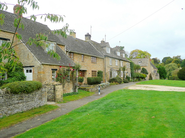
Broadwell, Cotswold
Broadwell is a village and civil parish in the English county of Gloucestershire. It is about 1.5 miles (2.4 km) north of Stow-on-the-Wold, In the 2001...
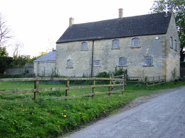
Maugersbury
Maugersbury is a village and civil parish in Gloucestershire, England. Situated less than a mile south-east of the market town of Stow-on-the-Wold and...

Maugersbury Manor
Maugersbury Manor is a manor house in the village of Maugersbury in Gloucestershire. It has been listed Grade II on the National Heritage List for England...

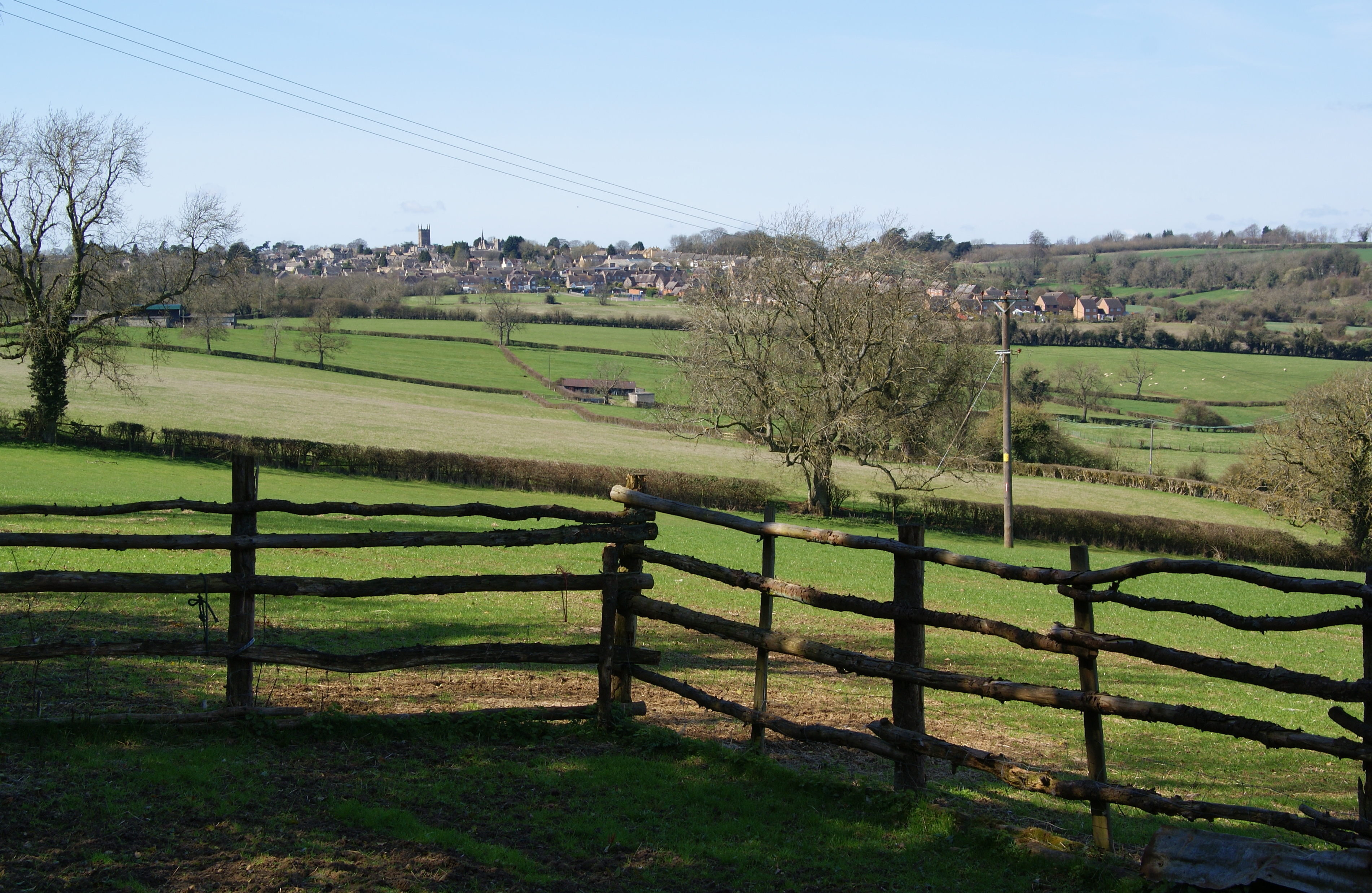
Stow-on-the-Wold
Stow-on-the-Wold is a market town and civil parish in Gloucestershire, England, on top of an 800-foot (244 m) hill at the junction of main roads through...
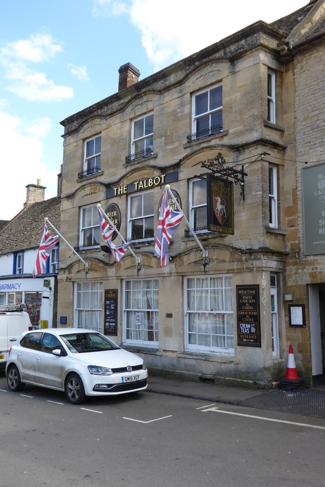
The Talbot, Stow-on-the-Wold
The Talbot, formerly known as The Talbot Hotel, is a public house in the Market Square in Stow-on-the-Wold, Gloucestershire, England. The structure, which...
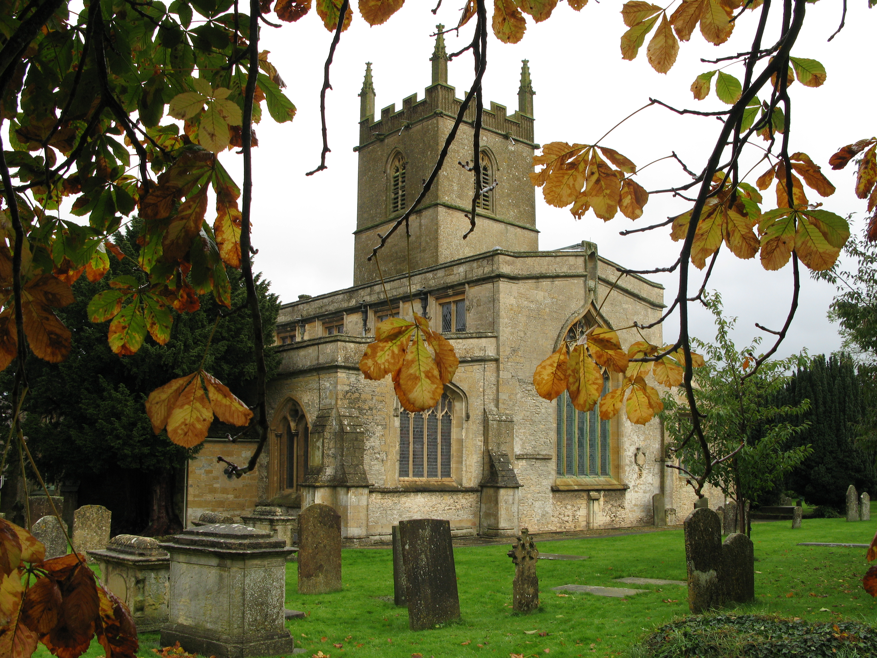
St Edward's Church, Stow-on-the-Wold
St Edward's Church is a medieval-built Church of England parish church, serving Stow-on-the-Wold ('Stow'), Gloucestershire. A tourist attraction, it is...

Donnington, Gloucestershire
Donnington is a small village and civil parish in Gloucestershire, near the Roman Fosse Way in the Cotswold District Council area of south west England...
Battle of Stow-on-the-Wold
The Battle of Stow-on-the-Wold (21 March 1646) took place during the First English Civil War. It was a Parliamentarian victory by detachments of the New...
Have you been to Broadwell Hill Covert?
Leave your review of Broadwell Hill Covert below (or comments, questions and feedback).