Allotment Plantation

Wood, Forest in Gloucestershire Cotswold

England

Allotment Plantation

Old Milestone, A40, Barrington turn Just East of the car sales on the North side of the road. On the kept grass verge.

Inscription (was): Gloucester 26 / Oxford 20

Milestone Society National ID: GL_OXGL20
Old Milestone, A40, Barrington turn Credit: Mr Red

Allotment Plantation is a woodland located in Gloucestershire, England. Covering an area of approximately 50 acres, the plantation is known for its diverse range of trees and plants, making it a popular destination for nature enthusiasts and hikers alike.

The woodland is primarily composed of native tree species such as oak, ash, beech, and birch. The thick canopy created by these trees provides a cool and shaded environment, even during the summer months. The forest floor is covered with a variety of undergrowth, including ferns, mosses, and wildflowers, adding to the beauty and biodiversity of the area.

Allotment Plantation is home to a wide range of wildlife. Bird watchers will be delighted to spot species such as woodpeckers, owls, and various songbirds. Additionally, the woodland provides habitat for small mammals like squirrels, rabbits, and foxes. Visitors may also encounter reptiles such as snakes and lizards, as well as several species of butterflies and insects.

The plantation has a network of well-maintained footpaths, allowing visitors to explore the area easily. It is a popular place for walking, jogging, and cycling, with designated trails suitable for different levels of fitness. The serene atmosphere of the woodland is perfect for those seeking a peaceful retreat in nature.

Allotment Plantation is open to the public throughout the year and is managed by the local council. Visitors are encouraged to respect the flora and fauna, and to take their litter home with them.

If you have any feedback on the listing, please let us know in the comments section below.

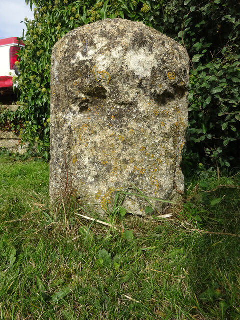
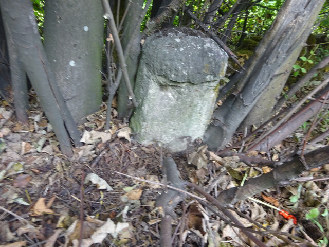
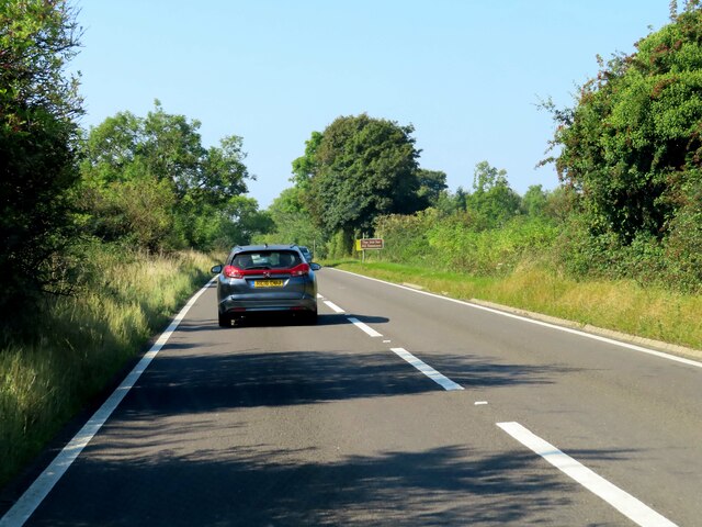
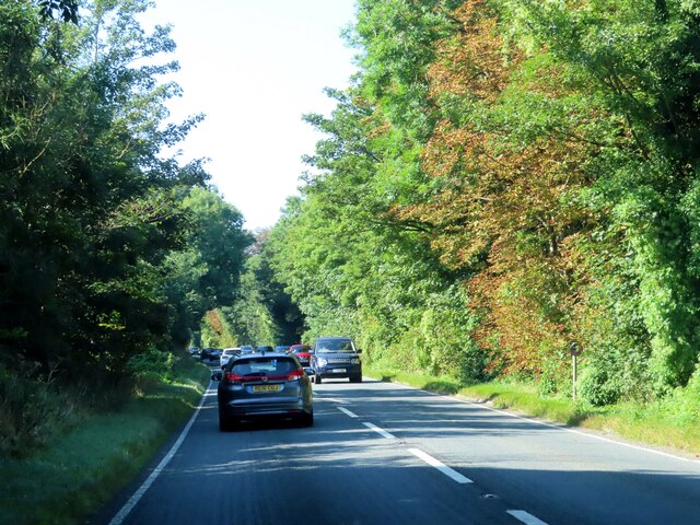
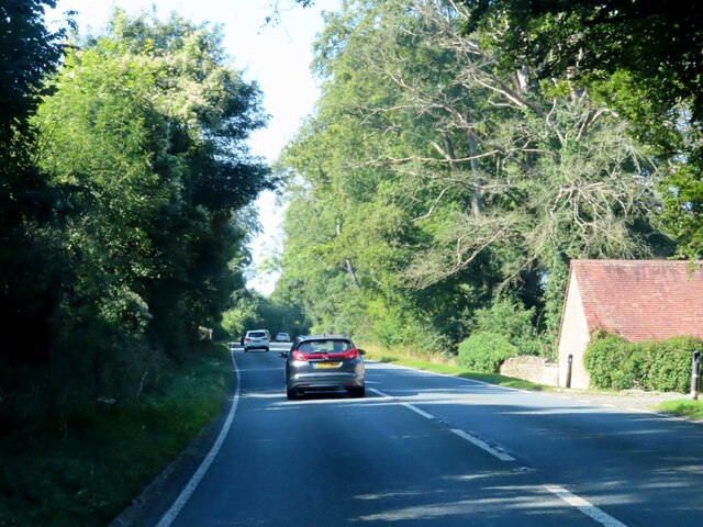
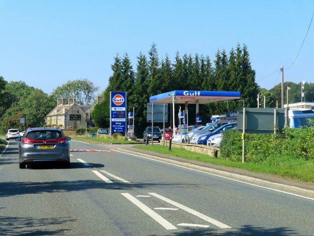
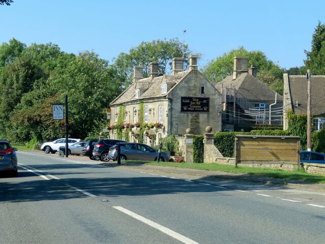
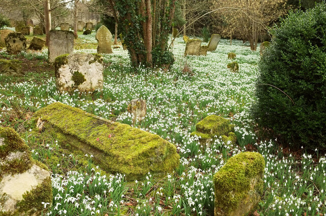
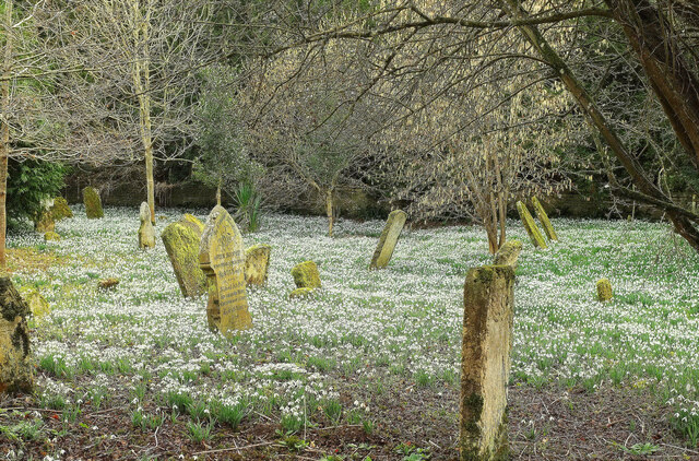
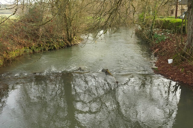
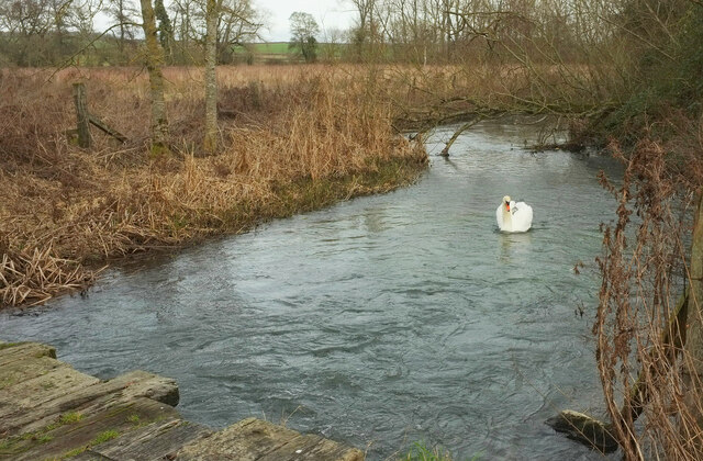
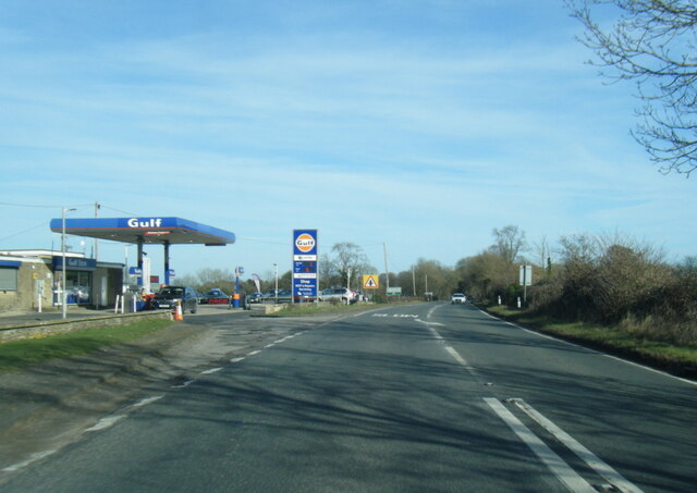
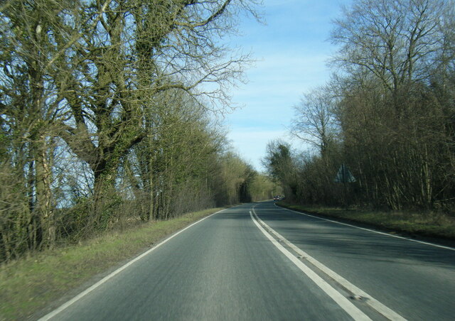
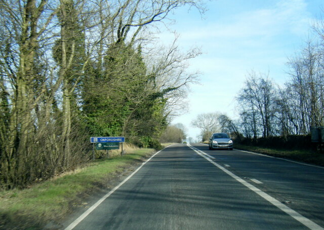
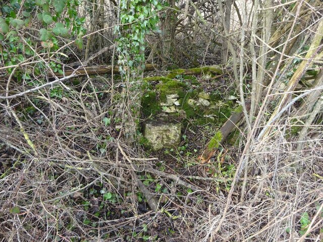
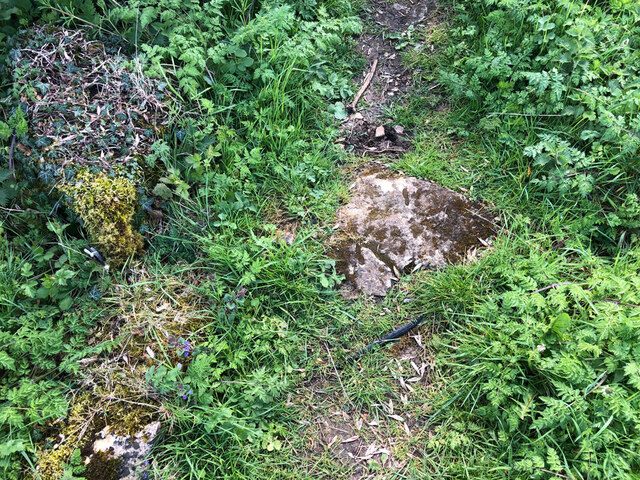
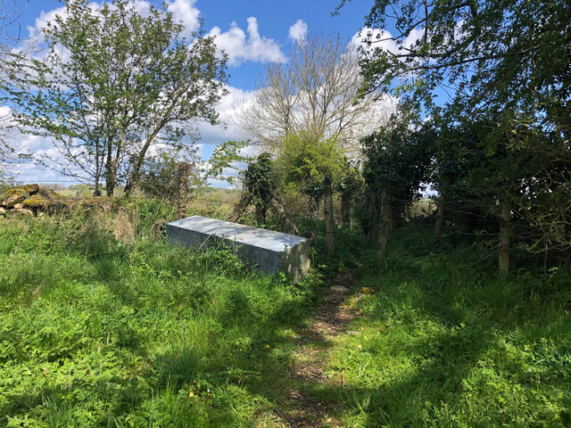
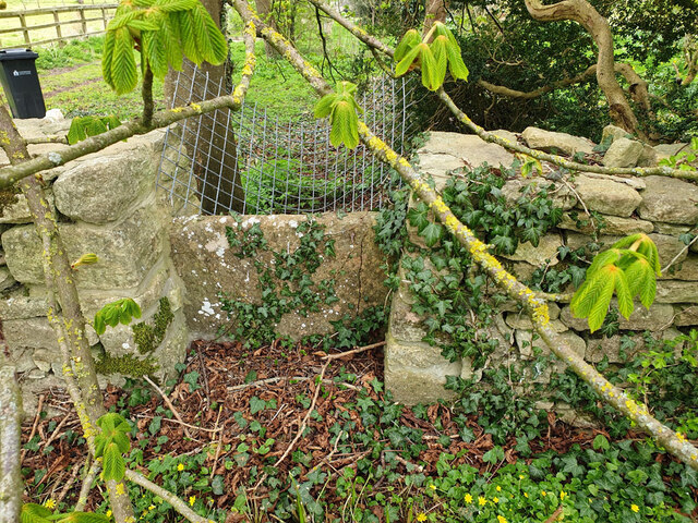
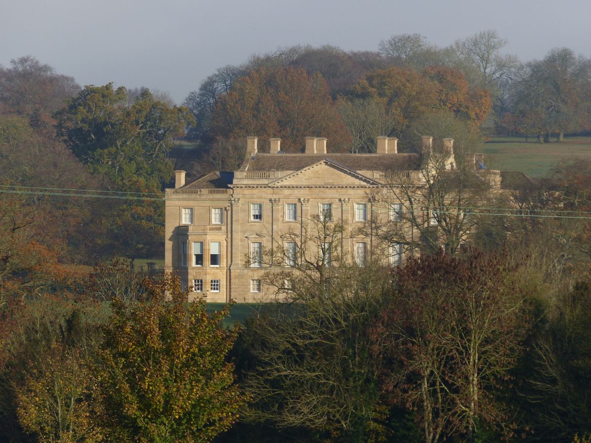
Allotment Plantation Images

Images are sourced within 2km of 51.81008/-1.7007622 or Grid Reference SP2012. Thanks to Geograph Open Source API. All images are credited.

Old Milestone, A40, Barrington turn Just East of the car sales on the North side of the road. On the kept grass verge.

Inscription (was): Gloucester 26 / Oxford 20

Milestone Society National ID: GL_OXGL20
Old Milestone, A40, Barrington turn
Just East of the car sales on the North side of the road. On the kept grass verge. Inscription (was): Gloucester 26 / Oxford 20 Milestone Society National ID: GL_OXGL20
Old Milestone, A40 120 m West of the Gloucestershire/Oxon border. Embedded in trees, not properly visible from the road.

Inscription (was): Gloucester 27 / Oxford 19

Milestone Society National ID: GL_OXGL19
Old Milestone, A40
120 m West of the Gloucestershire/Oxon border. Embedded in trees, not properly visible from the road. Inscription (was): Gloucester 27 / Oxford 19 Milestone Society National ID: GL_OXGL19
The A40 heading west
The A40 heading west past the Lodge
The A40 passes Barrington Filling Station
The Inn For All Seasons by the A40
Snowdrops, Great Barrington South of St Mary's church, the churchyard is almost entirely filled with snowdrops.
Snowdrops, Great Barrington
South of St Mary's church, the churchyard is almost entirely filled with snowdrops.
Snowdrops, Great Barrington The southeast sector of the churchyard; like <a href="https://www.geograph.org.uk/photo/7095302">SP2013 : Snowdrops, Great Barrington</a>, spectacularly covered in snowdrops.
Snowdrops, Great Barrington
The southeast sector of the churchyard; like SP2013 : Snowdrops, Great Barrington, spectacularly covered in snowdrops.
River Windrush Looking downstream from the road between Great and Little Barrington, near the Fox Inn - an outbuilding can be seen on the right..
River Windrush
Looking downstream from the road between Great and Little Barrington, near the Fox Inn - an outbuilding can be seen on the right..
Swan on the Windrush Seen from where the D'Arcy Dalton Way crosses a footbridge on BARRINGTON FOOTPATH 9 KBA9. What you can see in the foreground is, however, an older bridge.
Swan on the Windrush
Seen from where the D'Arcy Dalton Way crosses a footbridge on BARRINGTON FOOTPATH 9 KBA9. What you can see in the foreground is, however, an older bridge.
A40 at Barrington Filling Station
A40 eastbound near Home Park
A40 eastbound at Oxfordshire boundary
Old Milestone, nr Westwell B4425 Truncated remains opposite the road to Westwell & quarry, set back against a wall, in bushes and covered in ivy (usually). Erected by the Bibury & Dancy's Fancy turnpike trust in the 19th century. see a poor quality B&W earlier image <a href="https://www.geograph.org.uk/photo/6050963">SP2110 : Old Milestone by the B4425, north of Cuckoo Pen Farm, Barrington parish</a>.

Inscription once read:- Cirencester / 14 / Burford / 3
Carved benchmark on lower face  representing 135.5 m ASL. 

Grade II listed. List Entry Number: 1340830 see <span class="nowrap"><a title="https://historicengland.org.uk/listing/the-list/list-entry/1340830" rel="nofollow ugc noopener" href="https://historicengland.org.uk/listing/the-list/list-entry/1340830">Link</a><img style="margin-left:2px;" alt="External link" title="External link - shift click to open in new window" src="https://s1.geograph.org.uk/img/external.png" width="10" height="10"/></span>

Milestone Society National ID: GL_CIBF14
Old Milestone, nr Westwell B4425
Truncated remains opposite the road to Westwell & quarry, set back against a wall, in bushes and covered in ivy (usually). Erected by the Bibury & Dancy's Fancy turnpike trust in the 19th century. see a poor quality B&W earlier image SP2110 : Old Milestone by the B4425, north of Cuckoo Pen Farm, Barrington parish. Inscription once read:- Cirencester / 14 / Burford / 3 Carved benchmark on lower face representing 135.5 m ASL. Grade II listed. List Entry Number: 1340830 see LinkExternal link Milestone Society National ID: GL_CIBF14
Stone Stile, Little Barrington On Gloucestershire footpath KBA14 near the "Inn for all Seasons" (on A40). This is the close-up, the context view is <a href="https://www.geograph.org.uk/photo/7251622">SP2012 : Stone Stile, Little Barrington</a>.
Stone Stile, Little Barrington
On Gloucestershire footpath KBA14 near the "Inn for all Seasons" (on A40). This is the close-up, the context view is SP2012 : Stone Stile, Little Barrington.
Stone Stile, Little Barrington On Gloucestershire footpath KBA14 near the "Inn for all Seasons" (on A40). This is the context view, the close-up is <a href="https://www.geograph.org.uk/photo/7251621">SP2012 : Stone Stile, Little Barrington</a>.
Stone Stile, Little Barrington
On Gloucestershire footpath KBA14 near the "Inn for all Seasons" (on A40). This is the context view, the close-up is SP2012 : Stone Stile, Little Barrington.
Stone Stile, Little Barrington A private stile off the North side of Middle Road.
The view looking to the road is <a href="https://www.geograph.org.uk/photo/7645456">SP2012 : Stone Stile Little Barrington</a>.
Stone Stile, Little Barrington
A private stile off the North side of Middle Road. The view looking to the road is SP2012 : Stone Stile Little Barrington.
Show me another place!

Allotment Plantation is located at Grid Ref: SP2012 (Lat: 51.81008, Lng: -1.7007622)

Administrative County: Gloucestershire

District: Cotswold

Police Authority: Gloucestershire

What 3 Words

///decoded.truckload.noting. Near Burford, Oxfordshire

Related Wikis

Nearby Amenities

Located within 500m of 51.81008,-1.7007622
Little Barrington
Created By: Potlatch 0.9c
Place: hamlet
Wikidata: Q22809763
Lat/Long: 51.8131077/-1.7027814
Bus Stop
Phone Box
Bus: yes
Naptan AtcoCode: 1600GL2911
Naptan Bearing: S
Naptan CommonName: Phone Box
Naptan NaptanCode: glogjmdj
Naptan Street: Main Street
Naptan Verified: no
Public Transport: platform
Source: naptan_import
Lat/Long: 51.8128614/-1.7020299
Bus Stop
Phone Box
Bus: yes
Naptan AtcoCode: 1600GL2912
Naptan Bearing: N
Naptan CommonName: Phone Box
Naptan NaptanCode: glogjmdg
Naptan Street: Main Street
Naptan Verified: no
Public Transport: platform
Source: naptan_import
Lat/Long: 51.8129155/-1.7021021
Bus Stop
Minnow Ln
Bus: yes
Naptan AtcoCode: 1600GLA57005
Naptan Bearing: NE
Naptan CommonName: Minnow Ln
Naptan NaptanCode: glogmtjm
Naptan Street: Middle Rd
Naptan Verified: no
Public Transport: platform
Source: naptan_import
Lat/Long: 51.8133418/-1.6965289
Bus Stop
Village Farm Turn
Bus: yes
Naptan AtcoCode: 1600GLC571
Naptan Bearing: S
Naptan CommonName: Village Farm Turn
Naptan NaptanCode: glogjmaw
Naptan Street: Main Street
Naptan Verified: no
Public Transport: platform
Shelter: no
Source: naptan_import
Lat/Long: 51.8119723/-1.7024274
Bus Stop
Village Farm Turn
Bus: yes
Naptan AtcoCode: 1600GLC572
Naptan Bearing: N
Naptan CommonName: Village Farm Turn
Naptan NaptanCode: glogjmap
Naptan Street: Main Street
Naptan Verified: no
Public Transport: platform
Shelter: no
Source: naptan_import
Lat/Long: 51.8119904/-1.7024854
Bus Stop
The Inn For All Seasons
Bus: yes
Naptan AtcoCode: 1600GLC599
Naptan Bearing: E
Naptan CommonName: The Inn For All Seasons
Naptan NaptanCode: glogjgwp
Naptan Street: A40
Naptan Verified: no
Public Transport: platform
Source: naptan_import
Lat/Long: 51.8068509/-1.7038826
Bus Stop
The Inn For All Seasons
Bus: yes
Naptan AtcoCode: 1600GLC600
Naptan Bearing: W
Naptan CommonName: The Inn For All Seasons
Naptan Indicator: Opp
Naptan NaptanCode: glogjgwj
Naptan Street: A40
Naptan Verified: no
Public Transport: platform
Shelter: no
Source: naptan_import
Lat/Long: 51.8067616/-1.7041297
Fuel
Barrington filling station
Brand: Gulf
Brand Wikidata: Q5617505
Fuel HGV Diesel: yes
Fuel Diesel: yes
Fuel Octane 95: yes
Operator: Gulf
Lat/Long: 51.8071149/-1.7040266
Telephone
Defibrillator
Booth: K6
Covered: booth
Defibrillator Location: inside red phone box, Little Barrington
Emergency: defibrillator
Listed Status: Grade II
Man Made: telephone_box
Lat/Long: 51.8128665/-1.7019852
Post Box
Post Box Type: wall
Ref: OX18 420
Royal Cypher: VR
Royal Cypher Wikidata: Q33102356
Lat/Long: 51.8125713/-1.7021515
The data included in this document is from www.openstreetmap.org. The data is made available under ODbL.

Have you been to Allotment Plantation?

Leave your review of Allotment Plantation below (or comments, questions and feedback).