Bridle Road Wood
Wood, Forest in Yorkshire Harrogate
England
Bridle Road Wood
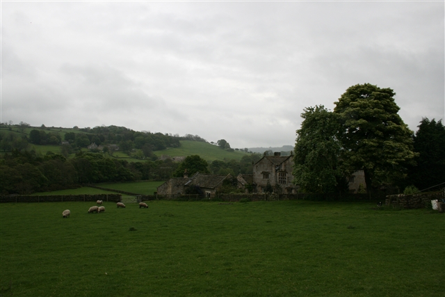
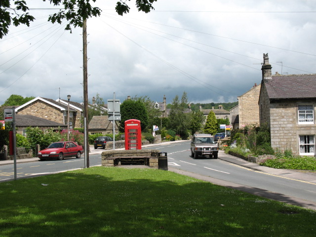
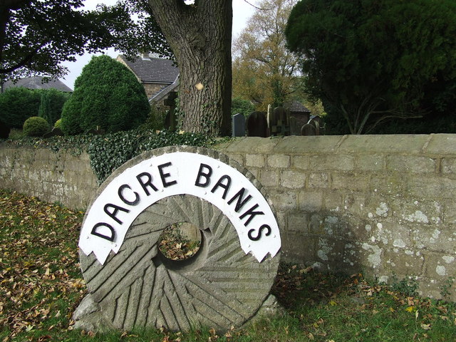
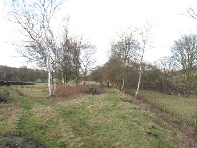
Bridle Road Wood is a serene forest located in Yorkshire, England. It is a nature lover's paradise, offering a peaceful retreat from the hustle and bustle of city life. The wood is nestled in a picturesque landscape, surrounded by rolling hills and meandering streams.
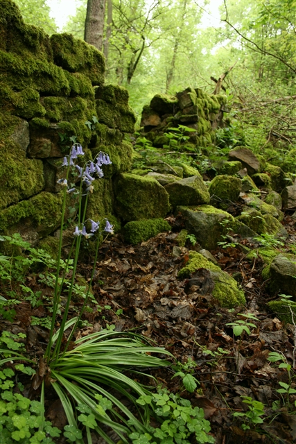
Covering an area of approximately 100 acres, Bridle Road Wood boasts a diverse range of flora and fauna. The wood is primarily composed of deciduous trees, including oak, beech, and birch. These majestic trees provide a dense canopy, creating a cool and shaded environment even on the hottest summer days.
The wood is crisscrossed by a network of well-maintained bridle roads, which were historically used for horseback riding. These paths now offer an opportunity for visitors to explore the wood on foot or by bicycle. Along the way, one can admire the abundance of wildflowers, listen to the melodious songs of birds, and occasionally spot woodland creatures such as deer, foxes, and rabbits.
Bridle Road Wood is not only a haven for wildlife but also a valuable ecological site. It is home to several rare plant species and provides crucial habitat for numerous birds and insects. As a result, the wood has been designated as a Site of Special Scientific Interest (SSSI) by the local authorities.
Visitors to Bridle Road Wood can enjoy a tranquil picnic amidst the natural beauty, or simply find a quiet spot to relax and unwind. It is a place where one can truly reconnect with nature and experience the wonders of the Yorkshire countryside.
If you have any feedback on the listing, please let us know in the comments section below.
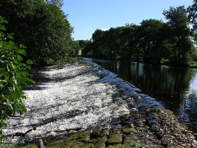
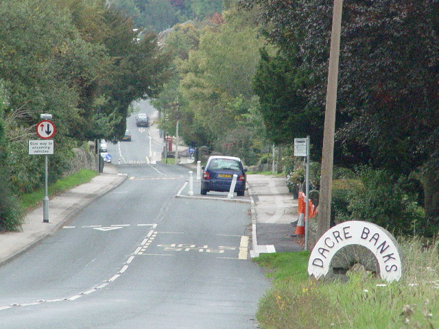
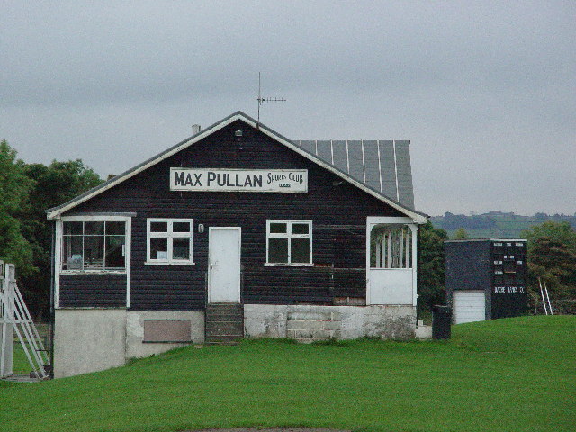
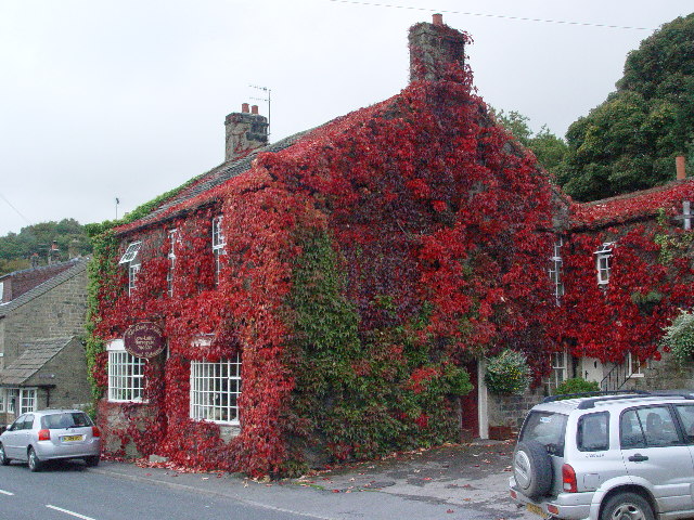
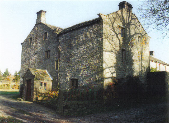
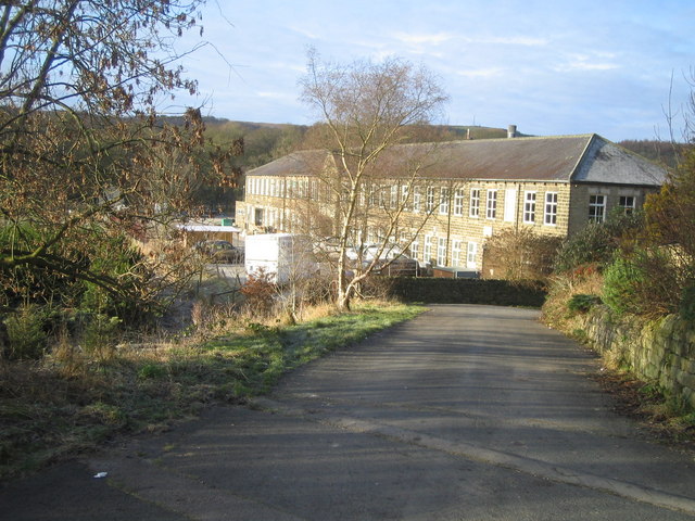
Bridle Road Wood Images
Images are sourced within 2km of 54.0586/-1.6865177 or Grid Reference SE2062. Thanks to Geograph Open Source API. All images are credited.


Bridle Road Wood is located at Grid Ref: SE2062 (Lat: 54.0586, Lng: -1.6865177)
Division: West Riding
Administrative County: North Yorkshire
District: Harrogate
Police Authority: North Yorkshire
What 3 Words
///text.butterfly.line. Near Pateley Bridge, North Yorkshire
Nearby Locations
Related Wikis

Hartwith cum Winsley
Hartwith cum Winsley is a civil parish in Harrogate district, North Yorkshire, England. Historically it was a township in the ancient parish of Kirkby...

Summerbridge, North Yorkshire
Summerbridge is a village in Nidderdale in Harrogate district, North Yorkshire, England. It is on the River Nidd, adjacent to Dacre Banks on the opposite...
New York, North Yorkshire
New York is a settlement in Nidderdale in the Harrogate district of North Yorkshire, England. It is on the River Nidd, near Summerbridge, and about 2...

Dacre railway station
Dacre railway station served the villages of Dacre and Summerbridge, North Yorkshire, England from 1862 to 1951 on the Nidd Valley Railway. == History... ==

Dacre, North Yorkshire
Dacre is a village and civil parish in the Harrogate district of North Yorkshire, England, it is 5 miles south of Pateley Bridge. In the 2001 census the...

Smelthouses
Smelthouses is a hamlet in Nidderdale in North Yorkshire, England. It lies about 2.3 miles (4 km) south-east of Pateley Bridge, on either side of Fell...

Brimham Rocks
Brimham Rocks, once known as Brimham Crags, is a 183.9-hectare (454-acre) biological Site of Special Scientific Interest (SSSI) and Geological Conservation...
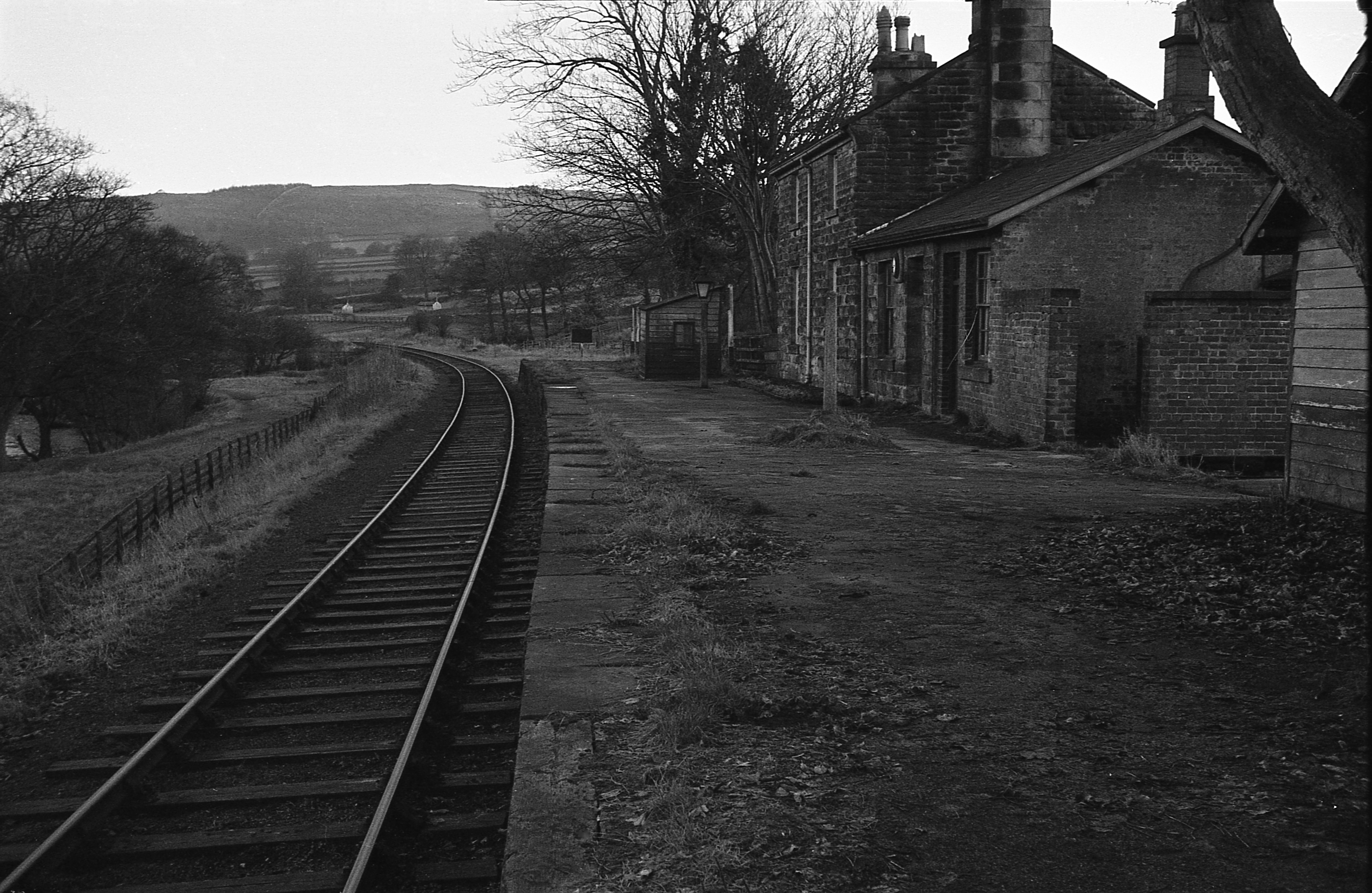
Darley railway station
Darley railway station served the village of Darley, North Yorkshire, England from 1864 to 1951 on the Nidd Valley Railway. == History == The station was...
Nearby Amenities
Located within 500m of 54.0586,-1.6865177Have you been to Bridle Road Wood?
Leave your review of Bridle Road Wood below (or comments, questions and feedback).