Bank Wood
Wood, Forest in Yorkshire Harrogate
England
Bank Wood

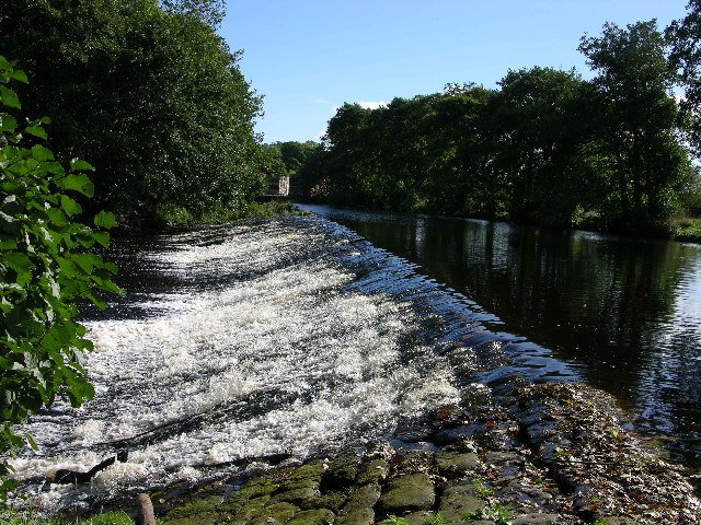
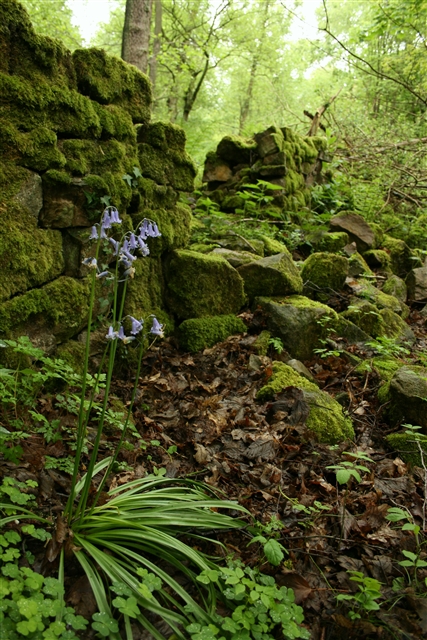
Bank Wood is a picturesque forest located in Yorkshire, England. Situated in the heart of the countryside, it covers a vast area of approximately 100 hectares. The wood is characterized by its dense canopy of trees, consisting predominantly of oak, beech, and birch. These towering trees create a serene and tranquil atmosphere, making it a popular destination for nature lovers and hikers alike.
The woodland floor is carpeted with a diverse range of flora, including bluebells, primroses, and wild garlic, which bloom in abundance during the spring months. This vibrant display of colors attracts countless visitors who come to witness the beauty of nature in full bloom.
Bank Wood is known for its rich biodiversity, providing a habitat for a variety of animal species. Deer, squirrels, badgers, and numerous bird species can be spotted within the woodlands, making it a haven for wildlife enthusiasts and birdwatchers.
The forest is crisscrossed by a network of well-maintained footpaths, enabling visitors to explore its hidden treasures. These paths lead to a small lake nestled within the wood, offering a peaceful spot for picnics and relaxation.
Bank Wood has a long history, with evidence of human activity dating back centuries. It was once used as a source of timber for the local community and played a crucial role in the industrial development of the region. Today, it stands as a testament to the importance of preserving natural habitats and serves as a cherished recreational space for locals and tourists alike.
If you have any feedback on the listing, please let us know in the comments section below.
Bank Wood Images
Images are sourced within 2km of 54.050962/-1.6868654 or Grid Reference SE2061. Thanks to Geograph Open Source API. All images are credited.


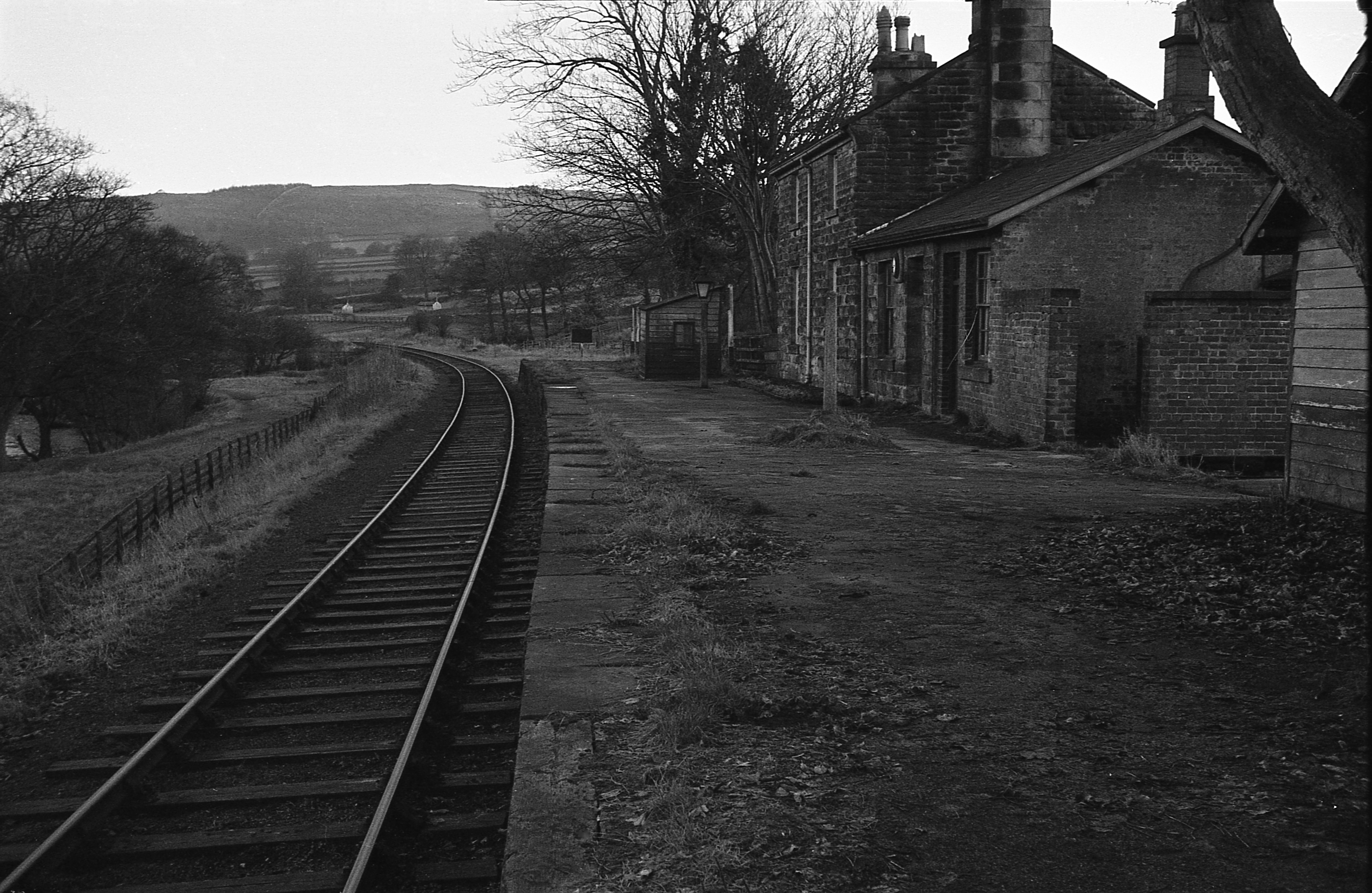
![Course of old railway, Nidderdale &quot;The branch line of the North Eastern railway between Harrogate and Pateley Bridge
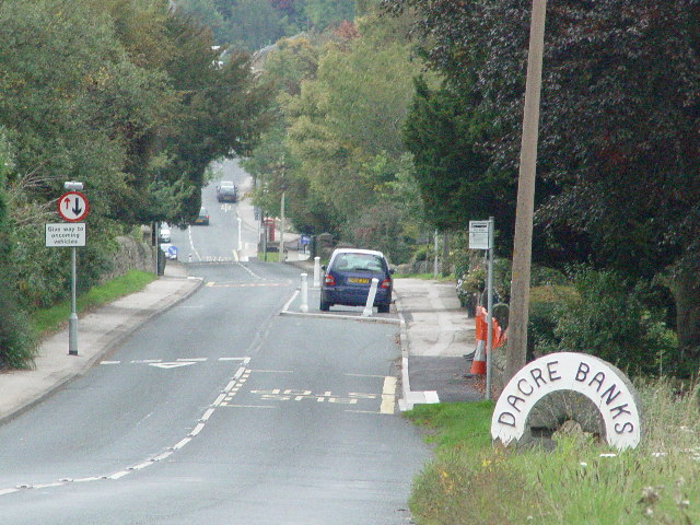
was opened in 1862, bringing further prosperity to the town. [...] The railway was an early casualty of the post-war cuts, closing to passengers in 1951 and to freight in 1964.&quot; ( <span class="nowrap"><a title="http://www.harrogate.gov.uk/pdf/DS-P-ConAreaPateleyBridge_.pdf" rel="nofollow ugc noopener" href="http://www.harrogate.gov.uk/pdf/DS-P-ConAreaPateleyBridge_.pdf">Link</a><img style="margin-left:2px;" alt="External link" title="External link - shift click to open in new window" src="https://s1.geograph.org.uk/img/external.png" width="10" height="10"/></span> ) A footpath now runs along part of the line to the south of Dacre Banks.](https://s3.geograph.org.uk/photos/44/01/440183_6e92d146.jpg)

Bank Wood is located at Grid Ref: SE2061 (Lat: 54.050962, Lng: -1.6868654)
Division: West Riding
Administrative County: North Yorkshire
District: Harrogate
Police Authority: North Yorkshire
What 3 Words
///tarnished.wiser.divide. Near Pateley Bridge, North Yorkshire
Nearby Locations
Related Wikis

Summerbridge, North Yorkshire
Summerbridge is a village in Nidderdale in Harrogate district, North Yorkshire, England. It is on the River Nidd, adjacent to Dacre Banks on the opposite...

Dacre railway station
Dacre railway station served the villages of Dacre and Summerbridge, North Yorkshire, England from 1862 to 1951 on the Nidd Valley Railway. == History... ==

Hartwith cum Winsley
Hartwith cum Winsley is a civil parish in Harrogate district, North Yorkshire, England. Historically it was a township in the ancient parish of Kirkby...
New York, North Yorkshire
New York is a settlement in Nidderdale in the Harrogate district of North Yorkshire, England. It is on the River Nidd, near Summerbridge, and about 2...

Dacre, North Yorkshire
Dacre is a village and civil parish in the Harrogate district of North Yorkshire, England, it is 5 miles south of Pateley Bridge. In the 2001 census the...
Darley railway station
Darley railway station served the village of Darley, North Yorkshire, England from 1864 to 1951 on the Nidd Valley Railway. == History == The station was...

Darley, North Yorkshire
Darley is a linear village in Nidderdale in the Harrogate district of North Yorkshire, England. The population as at the 2011 Census is 1,332 and is included...

Smelthouses
Smelthouses is a hamlet in Nidderdale in North Yorkshire, England. It lies about 2.3 miles (4 km) south-east of Pateley Bridge, on either side of Fell...
Nearby Amenities
Located within 500m of 54.050962,-1.6868654Have you been to Bank Wood?
Leave your review of Bank Wood below (or comments, questions and feedback).