Bromham Plantation
Wood, Forest in Gloucestershire Cotswold
England
Bromham Plantation

Bromham Plantation is a picturesque woodland located in the county of Gloucestershire, England. Situated in the heart of the beautiful Forest of Dean, this plantation covers a vast area of approximately 500 acres. The site is known for its diverse range of tree species, including oak, beech, and birch, which create a dense and enchanting forest.
The woodland offers a tranquil and serene atmosphere, making it a popular destination for nature enthusiasts and hikers. Visitors can explore the well-maintained footpaths that wind through the plantation, providing stunning views of the surrounding countryside. The paths are suitable for all abilities, making it an ideal location for families or those looking for a leisurely stroll.
Aside from its natural beauty, Bromham Plantation has a rich historical significance. The woodland was once part of the ancient Royal Forest of Dean, which served as a hunting ground for the medieval English monarchy. Evidence of this can still be seen today, with remnants of old deer parks and hunting lodges scattered throughout the area.
Wildlife thrives within the plantation, with a variety of bird species, mammals, and insects calling it home. Lucky visitors may catch a glimpse of elusive creatures such as deer or foxes during their visit. The woodland is also home to a wide range of flora, including wildflowers and fungi, adding to its ecological diversity.
Overall, Bromham Plantation in Gloucestershire offers a harmonious blend of natural beauty, historical significance, and abundant wildlife. It is a haven for those seeking an escape from the hustle and bustle of everyday life, allowing visitors to immerse themselves in the tranquility of the forest.
If you have any feedback on the listing, please let us know in the comments section below.
Bromham Plantation Images
Images are sourced within 2km of 51.837626/-1.7032793 or Grid Reference SP2015. Thanks to Geograph Open Source API. All images are credited.


Bromham Plantation is located at Grid Ref: SP2015 (Lat: 51.837626, Lng: -1.7032793)
Administrative County: Gloucestershire
District: Cotswold
Police Authority: Gloucestershire
What 3 Words
///stealthier.rings.revisit. Near Burford, Oxfordshire
Nearby Locations
Related Wikis
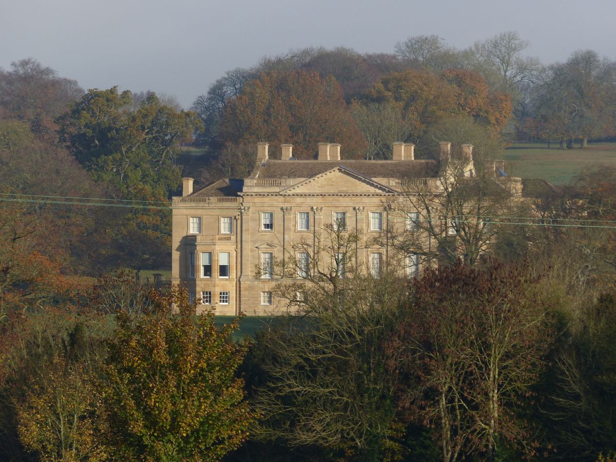
Barrington Park
Barrington Park is a Palladian style country house standing in an estate of the same name near the villages of Great Barrington and Little Barrington,...

Great Rissington
Great Rissington is a village in the Cotswold district of Gloucestershire, England. The population taken at the 2011 census was 367. == History == In the...

Church of St Peter, Windrush
The Anglican Church of St Peter at Windrush in the Cotswold District of Gloucestershire, England was built in the 12th century. It is a grade I listed...

Church of St Peter, Little Barrington
The Anglican Church of St Peter at Little Barrington in the civil parish of Barrington in the Cotswold District of Gloucestershire, England was built in...

Sherborne, Gloucestershire
Sherborne is a village and civil parish almost 3.5 miles (5.6 km) east of Northleach in Gloucestershire. Sherborne is a linear village, extending more...

RAF Little Rissington
Royal Air Force Little Rissington or more simply RAF Little Rissington (ICAO: EGVL) is an Royal Air Force satellite station in Gloucestershire, England...

Taynton, Oxfordshire
Taynton is a village and civil parish about 1+1⁄2 miles (2.4 km) northwest of Burford in West Oxfordshire. The village is on Coombe Brook, a tributary...

Sherborne House, Gloucestershire
Sherborne House is a large house in the village of Sherborne, Gloucestershire, England. It is a former country house that has been converted into flats...
Nearby Amenities
Located within 500m of 51.837626,-1.7032793Have you been to Bromham Plantation?
Leave your review of Bromham Plantation below (or comments, questions and feedback).