Copmanroyd Plantation

Wood, Forest in Yorkshire Harrogate

England

Copmanroyd Plantation

Clifton Lane, Clifton, Wharfedale
Clifton Lane, Clifton, Wharfedale Credit: habiloid

Copmanroyd Plantation is a picturesque woodland located in Yorkshire, England. Situated in the heart of the county, this forested area covers a vast expanse of approximately 200 acres. The plantation is named after the nearby village of Copmanthorpe, which dates back to medieval times.

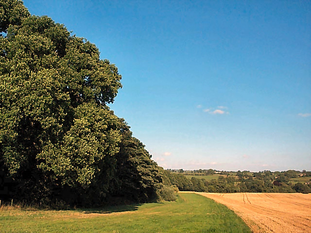
The woodland is characterized by a diverse range of tree species, including oak, beech, ash, and birch. These majestic trees create a dense canopy, providing ample shade and shelter for various wildlife species. The forest floor is adorned with a vibrant carpet of ferns, wildflowers, and mosses, creating a magical and enchanting environment.

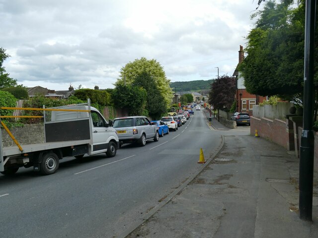
Copmanroyd Plantation offers a haven for nature lovers and outdoor enthusiasts. It boasts a network of well-maintained walking trails, allowing visitors to explore the picturesque surroundings at their own pace. The trails lead visitors through the heart of the woodland, offering glimpses of wildlife such as deer, squirrels, and a wide array of bird species.

The plantation is also home to a rich biodiversity, with numerous plant and animal species calling it their habitat. Conservation efforts are in place to protect and preserve the woodland, ensuring its long-term sustainability.

In addition to its natural beauty, Copmanroyd Plantation holds historical significance. The area has been inhabited since ancient times, with archaeological evidence suggesting human activity dating back to the Neolithic period. The plantation's proximity to Copmanthorpe village also adds to its historical appeal.

Overall, Copmanroyd Plantation is a captivating woodland that offers a peaceful retreat for visitors, with its stunning scenery, diverse wildlife, and rich history making it a must-visit destination in Yorkshire.

If you have any feedback on the listing, please let us know in the comments section below.

Copmanroyd Plantation Images

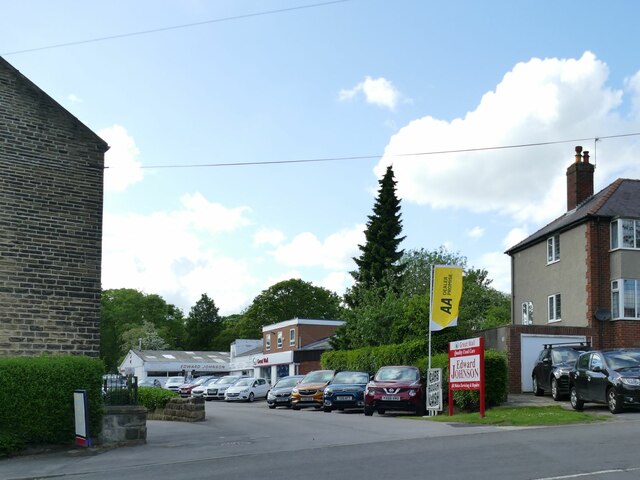
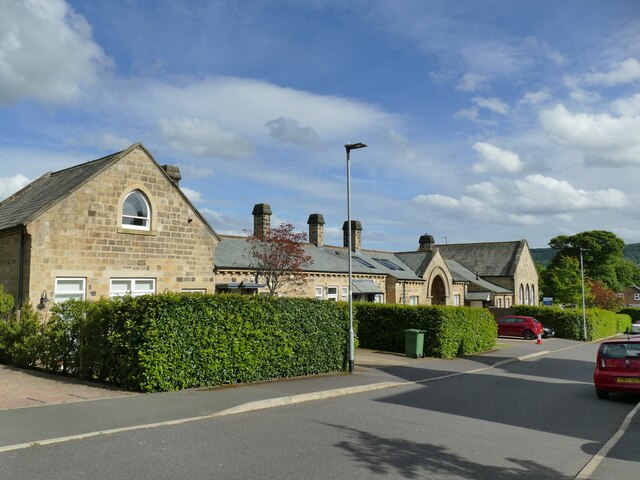
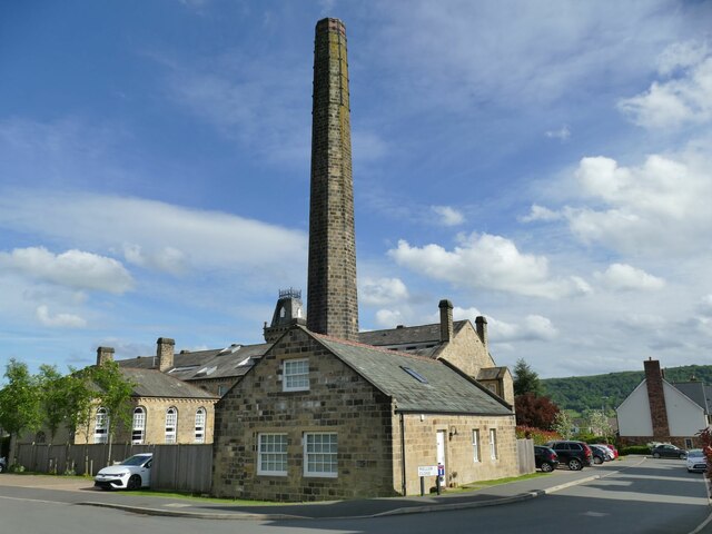
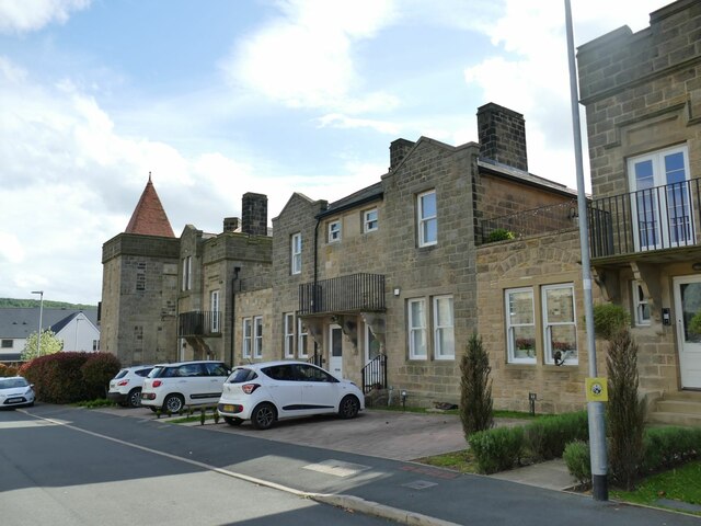
Images are sourced within 2km of 53.922875/-1.6891334 or Grid Reference SE2047. Thanks to Geograph Open Source API. All images are credited.

Clifton Lane, Clifton, Wharfedale
Edward Johnson Car Sales, Otley Off Newall Carr Road.
Edward Johnson Car Sales, Otley
Off Newall Carr Road.
Middleton Court, Otley One of the buildings of the former Wharfedale Hospital, now converted to housing; there is a new hospital nearby to replace it. This is the rear of the entrance block and casual wards of 1871-73, by local architects C S and A J Nelson for the Wharfedale Poor Law Union and now listed grade II (list entry 1268416).  <a href="https://www.geograph.org.uk/photo/3887053">SE1946 : Former Wharfedale Hospital & Union Workhouse - Newall Carr Road</a> shows the front.
Middleton Court, Otley
One of the buildings of the former Wharfedale Hospital, now converted to housing; there is a new hospital nearby to replace it. This is the rear of the entrance block and casual wards of 1871-73, by local architects C S and A J Nelson for the Wharfedale Poor Law Union and now listed grade II (list entry 1268416). SE1946 : Former Wharfedale Hospital & Union Workhouse - Newall Carr Road shows the front.
Wharfedale Drive, Otley The main building and chimney of the former Wharfedale Hospital (originally a workhouse), now converted to housing. Built 1871-73, by local architects C S and A J Nelson for the Wharfedale Poor Law Union and now listed grade II (list entry 1268414). There is a new hospital nearby to replace it.
Wharfedale Drive, Otley
The main building and chimney of the former Wharfedale Hospital (originally a workhouse), now converted to housing. Built 1871-73, by local architects C S and A J Nelson for the Wharfedale Poor Law Union and now listed grade II (list entry 1268414). There is a new hospital nearby to replace it.
Former hospital building, Wharfedale Drive, Otley The rear block of the former Wharfedale Hospital (originally a workhouse), now converted to housing. Built 1871-73, by local architects C S and A J Nelson for the Wharfedale Poor Law Union. There is a new hospital nearby to replace it.
Former hospital building, Wharfedale Drive, Otley
The rear block of the former Wharfedale Hospital (originally a workhouse), now converted to housing. Built 1871-73, by local architects C S and A J Nelson for the Wharfedale Poor Law Union. There is a new hospital nearby to replace it.
Former hospital mortuary, Wharfedale Drive, Otley The Wharfedale Hospital (originally a workhouse) was built 1871-73, by local architects C S and A J Nelson for the Wharfedale Poor Law Union. There is a new hospital nearby to replace it. The buildings are now converted to housing and it was a resident who told us this had been the mortuary.
Former hospital mortuary, Wharfedale Drive, Otley
The Wharfedale Hospital (originally a workhouse) was built 1871-73, by local architects C S and A J Nelson for the Wharfedale Poor Law Union. There is a new hospital nearby to replace it. The buildings are now converted to housing and it was a resident who told us this had been the mortuary.
Former infirmary, Wharfedale Drive, Otley This was the infirmary block of the Wharfedale Hospital (originally a workhouse) built 1871-73, by local architects C S and A J Nelson for the Wharfedale Poor Law Union. There is a new hospital nearby to replace it. The buildings are now converted to housing. This one is listed grade II (list entry 1268415).
Former infirmary, Wharfedale Drive, Otley
This was the infirmary block of the Wharfedale Hospital (originally a workhouse) built 1871-73, by local architects C S and A J Nelson for the Wharfedale Poor Law Union. There is a new hospital nearby to replace it. The buildings are now converted to housing. This one is listed grade II (list entry 1268415).
Former hospital entrance, Newall Carr Road, Otley This was the entrance to the Wharfedale Hospital (originally a workhouse) built 1871-73, by local architects C S and A J Nelson for the Wharfedale Poor Law Union. There is a new hospital nearby to replace it. The buildings are now converted to housing. This is part of the entrance block, listed grade II (list entry 1268416).
Former hospital entrance, Newall Carr Road, Otley
This was the entrance to the Wharfedale Hospital (originally a workhouse) built 1871-73, by local architects C S and A J Nelson for the Wharfedale Poor Law Union. There is a new hospital nearby to replace it. The buildings are now converted to housing. This is part of the entrance block, listed grade II (list entry 1268416).
Wharfedale Hospital, Otley The old hospital buildings nearby have been converted to housing following the construction of this replacement facility, opened in 2004 and seen here from the main road.
Wharfedale Hospital, Otley
The old hospital buildings nearby have been converted to housing following the construction of this replacement facility, opened in 2004 and seen here from the main road.
The Yew Tree, Otley A pub on Newall Carr Road, which became a Tetley's pub in 1974. The interior in a traditional style earns it a place in CAMRA's regional listing.

The building is also listed by Historic England (Grade II, entry 1200479). According to the listing, it was originally called Yew Tree Cottage and described as an 18th century block of cottages, 'now partly demolished and much altered'. This is slightly at odds with CAMRA's description that describes it as a former farmhouse.  

The Union flag was flying for the forthcoming Platinum Jubilee.
The Yew Tree, Otley
A pub on Newall Carr Road, which became a Tetley's pub in 1974. The interior in a traditional style earns it a place in CAMRA's regional listing. The building is also listed by Historic England (Grade II, entry 1200479). According to the listing, it was originally called Yew Tree Cottage and described as an 18th century block of cottages, 'now partly demolished and much altered'. This is slightly at odds with CAMRA's description that describes it as a former farmhouse. The Union flag was flying for the forthcoming Platinum Jubilee.
Sign for the Yew Tree, Otley See <a href="https://www.geograph.org.uk/photo/7198253">SE1946 : The Yew Tree, Otley</a> for the pub itself. Unusually the sign depicts not a whole tree but the poisonous leaves and berries.
Sign for the Yew Tree, Otley
See SE1946 : The Yew Tree, Otley for the pub itself. Unusually the sign depicts not a whole tree but the poisonous leaves and berries.
Interior of the Yew Tree, Otley See <a href="https://www.geograph.org.uk/photo/7198253">SE1946 : The Yew Tree, Otley</a> for the exterior.
Interior of the Yew Tree, Otley
See SE1946 : The Yew Tree, Otley for the exterior.
Cottage Stores, Newall Carr Road, Otley On the corner of Oatland Drive.
Cottage Stores, Newall Carr Road, Otley
On the corner of Oatland Drive.
Entrance to Newall Hall, Otley The hall itself has been demolished and a housing estate called Newall Hall Park occupies its site and grounds.
Entrance to Newall Hall, Otley
The hall itself has been demolished and a housing estate called Newall Hall Park occupies its site and grounds.
Traffic queue on Billams Hill, Otley A tailback of traffic entering the town, caused partly by temporary traffic lights and partly by the stream of vehicles exiting the showground at the end of an event.
Traffic queue on Billams Hill, Otley
A tailback of traffic entering the town, caused partly by temporary traffic lights and partly by the stream of vehicles exiting the showground at the end of an event.
Houses in Clifton Grange Farmhouse and Fairfax Cottage.

Grade II listed as one item: <span class="nowrap"><a title="https://historicengland.org.uk/listing/the-list/list-entry/1295675" rel="nofollow ugc noopener" href="https://historicengland.org.uk/listing/the-list/list-entry/1295675">Link</a><img style="margin-left:2px;" alt="External link" title="External link - shift click to open in new window" src="https://s1.geograph.org.uk/img/external.png" width="10" height="10"/></span>
Houses in Clifton
Grange Farmhouse and Fairfax Cottage. Grade II listed as one item: LinkExternal link
Otley, boundary wall of Rose Bank House The rivet benchmark is cut into the boundary wall of the property.
Otley, boundary wall of Rose Bank House
The rivet benchmark is cut into the boundary wall of the property.
Otley, Rose Bank House There is a rivet benchmark cut into the boundary wall of the property. The cutmark is slightly hidden from view by the privet hedge.
Otley, Rose Bank House
There is a rivet benchmark cut into the boundary wall of the property. The cutmark is slightly hidden from view by the privet hedge.
Show me another place!

Copmanroyd Plantation is located at Grid Ref: SE2047 (Lat: 53.922875, Lng: -1.6891334)

Division: West Riding

Administrative County: North Yorkshire

District: Harrogate

Police Authority: North Yorkshire

What 3 Words

///hydration.rewriting.professes. Near Otley, West Yorkshire

Related Wikis

Farnley Hall, North Yorkshire

Farnley Hall is a stately home in Farnley, North Yorkshire, England. It is located near Otley. The original early seventeenth-century house was added to...

Prince Henry's Grammar School, Otley

Prince Henry's Grammar School (Specialist Language College), also known as Prince Henry's or PHGS, is a secondary school and sixth form established in...

Wharfedale Hospital

Wharfedale Hospital (formerly known as Wharfedale General Hospital) is located in the market town of Otley, West Yorkshire, England, and is managed by...

Newall, West Yorkshire

Newall (historically also spelt Newell) is an area of Otley in West Yorkshire, England. It lies on the north bank of the River Wharfe, across Otley Bridge...

Newall with Clifton

Newall with Clifton (historically also spelt Newell with Clifton) is a civil parish in North Yorkshire, England. It lies two miles north of Otley in West...

Farnley, North Yorkshire

Farnley is a village and civil parish in the Harrogate district of North Yorkshire, England, near Otley, West Yorkshire. The name "Farnley" indicates that...

Cross Green

Cross Green is an area in the east of Otley, England, and the location of a multi-use sports stadium. The stadium is currently used mostly for rugby union...

Otley Museum

Otley Museum is in the town of Otley, near Leeds in West Yorkshire, England. Founded in 1961, it holds a collection of objects, artefacts and documentary...

Nearby Amenities

Located within 500m of 53.922875,-1.6891334
Natural: spring
Lat/Long: 53.9201973/-1.6897769
Newall Carr Side
Place: locality
Lat/Long: 53.9244298/-1.6953277
Natural: spring
Source: OS 1:25k
Lat/Long: 53.9205172/-1.6903334
Natural: spring
Source: OS 1:25k
Lat/Long: 53.920454/-1.6913205
The data included in this document is from www.openstreetmap.org. The data is made available under ODbL.

Have you been to Copmanroyd Plantation?

Leave your review of Copmanroyd Plantation below (or comments, questions and feedback).