Pitton Copse
Wood, Forest in Wiltshire
England
Pitton Copse

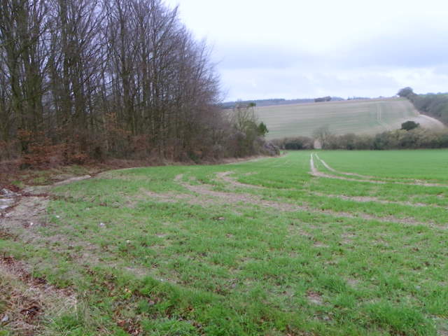
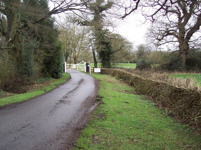
Pitton Copse is a picturesque woodland located in the county of Wiltshire, England. Situated near the village of Pitton, the copse is known for its natural beauty and diverse wildlife.
Covering an area of approximately 50 acres, Pitton Copse is predominantly made up of deciduous trees, including oak, beech, and ash. The copse is characterized by its dense canopy, which provides a shaded and tranquil environment for visitors to explore. The forest floor is adorned with a variety of wildflowers, ferns, and mosses, adding to its enchanting atmosphere.
The copse is intersected by several meandering footpaths, allowing visitors to navigate through the woods and discover its hidden gems. These paths lead visitors to discover a babbling brook that runs through the copse, creating a soothing soundtrack as it cascades over rocks and flows alongside the trails.
Pitton Copse is home to a rich array of wildlife, making it a popular spot for nature enthusiasts and birdwatchers. The copse supports a diverse range of bird species, including woodpeckers, owls, and various songbirds. Additionally, the woodland provides a habitat for small mammals such as squirrels, foxes, and badgers.
The copse is open to the public year-round, offering visitors the opportunity to immerse themselves in nature and enjoy the peaceful surroundings. Whether it's a leisurely stroll, a picnic, or wildlife observation, Pitton Copse is a tranquil haven for those seeking a break from the hustle and bustle of everyday life.
If you have any feedback on the listing, please let us know in the comments section below.
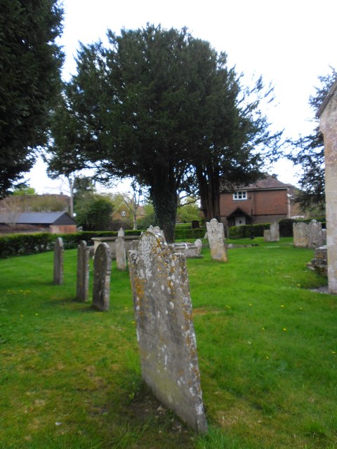
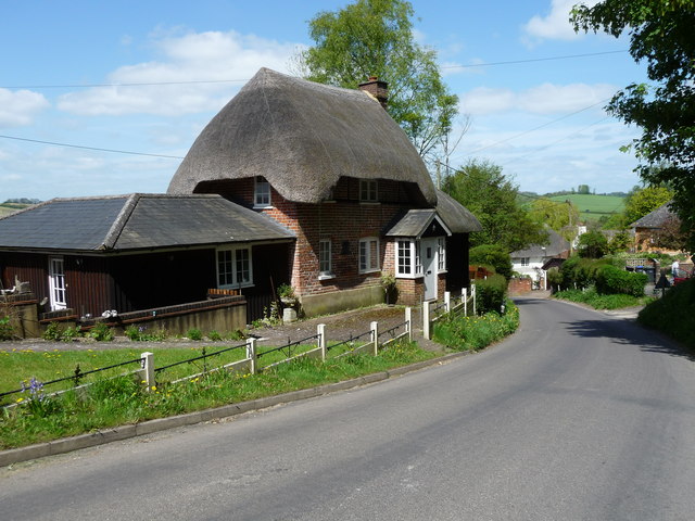
Pitton Copse Images
Images are sourced within 2km of 51.076093/-1.7096848 or Grid Reference SU2030. Thanks to Geograph Open Source API. All images are credited.


Pitton Copse is located at Grid Ref: SU2030 (Lat: 51.076093, Lng: -1.7096848)
Unitary Authority: Wiltshire
Police Authority: Wiltshire
What 3 Words
///panics.drooling.leotard. Near Alderbury, Wiltshire
Nearby Locations
Related Wikis
Pitton
Pitton is a village in Wiltshire, England, about 7 miles (11 km) east of Salisbury, just off the A30 London Road. == History == A Roman road (now a bridleway...

Clarendon Palace
Clarendon Palace is a medieval ruin 2+1⁄4 miles (3.6 km) east of Salisbury in Wiltshire, England. The palace was a royal residence during the Middle Ages...
Clarendon Park, Wiltshire
Clarendon Park is a Grade I listed building, estate and civil parish near Salisbury in Wiltshire, England. At the 2011 census the population of the parish...
Farley, Wiltshire
Farley is a village in southeast Wiltshire, England, about 5 miles (8.0 km) east of Salisbury. == Geography == Farley is one of the Dun Valley villages...

Firsdown
Firsdown is a civil parish in Wiltshire, England, 5 miles (8.0 km) northeast of Salisbury. Before the 1950s the area was sparsely populated downland within...

Bracknell Croft
Bracknell Croft (grid reference SU180330) is a 4.8 hectare biological Site of Special Scientific Interest in Wiltshire, notified in 1971. == Sources... ==

Figsbury Ring
Figsbury Ring (grid reference SU188338) is an 11.2 hectare biological Site of Special Scientific Interest in Wiltshire, England, notified in 1975. It...

Blackmoor Copse
Blackmoor Copse (grid reference SU234292) is a woodland in southeast Wiltshire, England, managed as a nature reserve by the Wiltshire Wildlife Trust. The...
Nearby Amenities
Located within 500m of 51.076093,-1.7096848Have you been to Pitton Copse?
Leave your review of Pitton Copse below (or comments, questions and feedback).