Brusselton Wood

Wood, Forest in Durham

England

Brusselton Wood

Brewer's Fayre Pub and Premier Inn - Bishop Auckland
Brewer's Fayre Pub and Premier Inn - Bishop Auckland Credit: Anthony Parkes

Brusselton Wood, located in Durham, is a picturesque forest known for its natural beauty and diverse ecosystem. Covering an area of approximately 200 acres, this woodland is a haven for nature enthusiasts and offers a serene retreat for those seeking tranquility.

The wood is predominantly composed of native broadleaf trees, including oak, ash, beech, and birch, which create a dense canopy overhead. This lush foliage provides a habitat for a wide range of flora and fauna, making it a popular spot for birdwatching and wildlife observation. Visitors may catch a glimpse of woodland birds such as the great spotted woodpecker, tawny owl, and various species of warblers.

Brusselton Wood also features several well-maintained walking trails that wind through the forest, offering visitors the opportunity to explore the wood's natural wonders and enjoy its peaceful ambiance. These trails vary in length and difficulty, catering to both leisurely strolls and more adventurous hikes.

In addition to its natural beauty, Brusselton Wood also holds historical significance. The remnants of an ancient settlement, including a medieval motte-and-bailey castle, can be found within the wood, providing a glimpse into the area's rich past.

Overall, Brusselton Wood is a hidden gem in Durham, offering a tranquil escape from the busy city life. Whether you are an avid nature lover, history enthusiast, or simply seeking a peaceful retreat, this woodland has something to offer everyone.

If you have any feedback on the listing, please let us know in the comments section below.

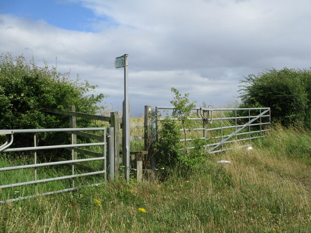
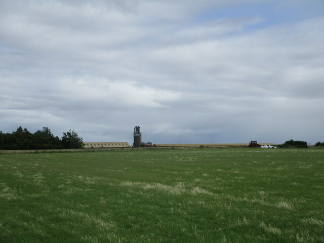
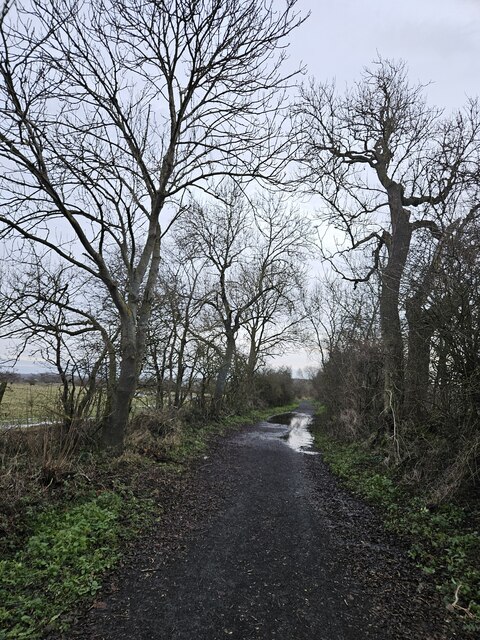
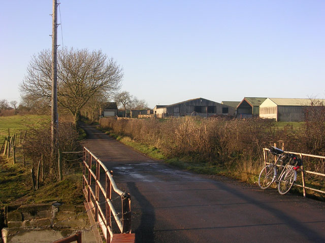
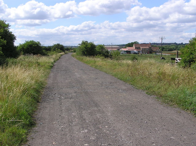
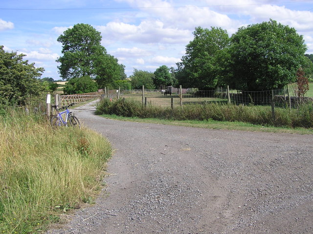
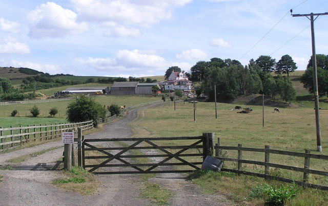
Brusselton Wood Images

Images are sourced within 2km of 54.620895/-1.687464 or Grid Reference NZ2025. Thanks to Geograph Open Source API. All images are credited.

Brewer's Fayre Pub and Premier Inn - Bishop Auckland
Footpath along old railway line near Brussleton
Public footpath near Shildon A public footpath on the A6072 which is sadly overgrown by crops and inaccessible
Public footpath near Shildon
A public footpath on the A6072 which is sadly overgrown by crops and inaccessible
Farm near Shildon
Farm near Shildon
Stone sleepers on Brusselton Incline The original route of the Stockton & Darlington Railway from Witton Park Colliery to Stockton untilised two rope hauled inclines, one at Brusselton and one near the pit at Witton Park. Brusselton incline took the railway over the low hills that form the watershed between the Wear and Tees valleys between Shildon and Bishop Auckland. A permanent stationary engine at the summit was used to power the rope worked incline. The Brusselton Incline remained in use until 1856. By that time the S&DR had tunnelled under the watershed when creating the branch to Bishop Auckland and Crook. A new line on the level was therefore built from the north end of the tunnel making Brusselton Incline redundant. The image shows original stone sleepers in situ on the northern side of Brusselton Incline.
Stone sleepers on Brusselton Incline
The original route of the Stockton & Darlington Railway from Witton Park Colliery to Stockton untilised two rope hauled inclines, one at Brusselton and one near the pit at Witton Park. Brusselton incline took the railway over the low hills that form the watershed between the Wear and Tees valleys between Shildon and Bishop Auckland. A permanent stationary engine at the summit was used to power the rope worked incline. The Brusselton Incline remained in use until 1856. By that time the S&DR had tunnelled under the watershed when creating the branch to Bishop Auckland and Crook. A new line on the level was therefore built from the north end of the tunnel making Brusselton Incline redundant. The image shows original stone sleepers in situ on the northern side of Brusselton Incline.
Haggs Lane, Brusselton Wood
Bridleway above High West Thickley Farm
Flooded River Gaunless at Fylands bridge
Walking the dogs on Haggs Lane Haggs Lane heading south, soon to start climbing towards Brusselton Wood.
Walking the dogs on Haggs Lane
Haggs Lane heading south, soon to start climbing towards Brusselton Wood.
Brusselton Incline rising to the west The Brusselton Incline rising to the small settlement of Brusselton where there was a stationary steam engine used in the hauling and lowering of coal wagons on this, an original part of the Stockton and Darlington Railway.
The stone sleepers have chiselled depressions in which sat the 'shoes' for holding the fish-bellied rails, every shoe being attached by four bolts. The sleepers are not of course in their original placements, the scene as it now appears being a restoration.
Brusselton Incline rising to the west
The Brusselton Incline rising to the small settlement of Brusselton where there was a stationary steam engine used in the hauling and lowering of coal wagons on this, an original part of the Stockton and Darlington Railway. The stone sleepers have chiselled depressions in which sat the 'shoes' for holding the fish-bellied rails, every shoe being attached by four bolts. The sleepers are not of course in their original placements, the scene as it now appears being a restoration.
Brusselton incline descending eastwards The eastern part of the Brusselton Incline seen from an abutment of an accommodation bridge east of the settlement of Brusselton itself.
Brusselton incline descending eastwards
The eastern part of the Brusselton Incline seen from an abutment of an accommodation bridge east of the settlement of Brusselton itself.
Burnshouse Lane beyond barrier The barrier would allow pedestrians and riders to cross on to the lane but restrict larger, powered vehicles from moving to the camera side.
Burnshouse Lane continues ahead for a short distance; another dirt road, Haggs Lane, branches right, climbing towards Brusselton Wood.
Burnshouse Lane beyond barrier
The barrier would allow pedestrians and riders to cross on to the lane but restrict larger, powered vehicles from moving to the camera side. Burnshouse Lane continues ahead for a short distance; another dirt road, Haggs Lane, branches right, climbing towards Brusselton Wood.
Stone sleepers just east of Brusselton Brusselton is a small settlement in County Durham on the original line of the Stockton to Darlington Railway; the stone sleepers are part of that route. 'Shoes' were bolted to the sleepers to which fish-bellied rails were attached. At the centre of the image in the distance, there's the sunlit buttress of an accommodation bridge, the deck of which has been lost.
Stone sleepers just east of Brusselton
Brusselton is a small settlement in County Durham on the original line of the Stockton to Darlington Railway; the stone sleepers are part of that route. 'Shoes' were bolted to the sleepers to which fish-bellied rails were attached. At the centre of the image in the distance, there's the sunlit buttress of an accommodation bridge, the deck of which has been lost.
Burnshouse Lane looking East Burnshouse Lane with its new cycle friendly surface.
Burnshouse Lane looking East
Burnshouse Lane with its new cycle friendly surface.
Hummerbeck Lane, West Auckland Hummerbeck Lane with Low Hummerbeck Farm. This lane follows the line of the Roman Road from Binchester (Vindamora) to Bowes (Lavatris). Recently, the lane has been designated as part of the Walney to Wear Cycle Route (National Cycle Network, Regional Route 20), and affords a traffic-free but rather muddy route for cyclists between Bishop Auckland and Barnard Castle.
Hummerbeck Lane, West Auckland
Hummerbeck Lane with Low Hummerbeck Farm. This lane follows the line of the Roman Road from Binchester (Vindamora) to Bowes (Lavatris). Recently, the lane has been designated as part of the Walney to Wear Cycle Route (National Cycle Network, Regional Route 20), and affords a traffic-free but rather muddy route for cyclists between Bishop Auckland and Barnard Castle.
Broom Mill and disused railway This is a  former Corn Mill near the River Gaunless. And the trackbed of the old Stockton and Darlington Railway.
Broom Mill and disused railway
This is a former Corn Mill near the River Gaunless. And the trackbed of the old Stockton and Darlington Railway.
Disused Railway : Bankfoot Farm Stockton and Darlington Railway and road to Bankfoot Farm. Off to the left on Burnshouse Lane, the old St.Helens (Auckland) Colliery Branch Line.
Disused Railway : Bankfoot Farm
Stockton and Darlington Railway and road to Bankfoot Farm. Off to the left on Burnshouse Lane, the old St.Helens (Auckland) Colliery Branch Line.
Backsandsides This was the site of the Brusselton & Ladysmith Colliery, With the N.E.R Brusselton Branch Line, connecting to the main S&D line east of Broom Mill.
Backsandsides
This was the site of the Brusselton & Ladysmith Colliery, With the N.E.R Brusselton Branch Line, connecting to the main S&D line east of Broom Mill.
Show me another place!

Brusselton Wood is located at Grid Ref: NZ2025 (Lat: 54.620895, Lng: -1.687464)

Unitary Authority: County Durham

Police Authority: Durham

What 3 Words

///drive.airliners.wolf. Near Shildon, Co. Durham

Nearby Locations

Brusselton Wood

Related Wikis

Bildershaw

Bildershaw is a village in County Durham, England. It is situated on the A68 road between Darlington and West Auckland. Bildershaw is primarily an agricultural...

Royal Oak, County Durham

Royal Oak is a hamlet in the west of Heighington civil parish, in the Borough of Darlington, County Durham, in England. It is situated to the north west...

Bishop Auckland F.C.

Bishop Auckland Football Club is a football club based in Bishop Auckland, County Durham, England. They are one of the most successful amateur sides, having...
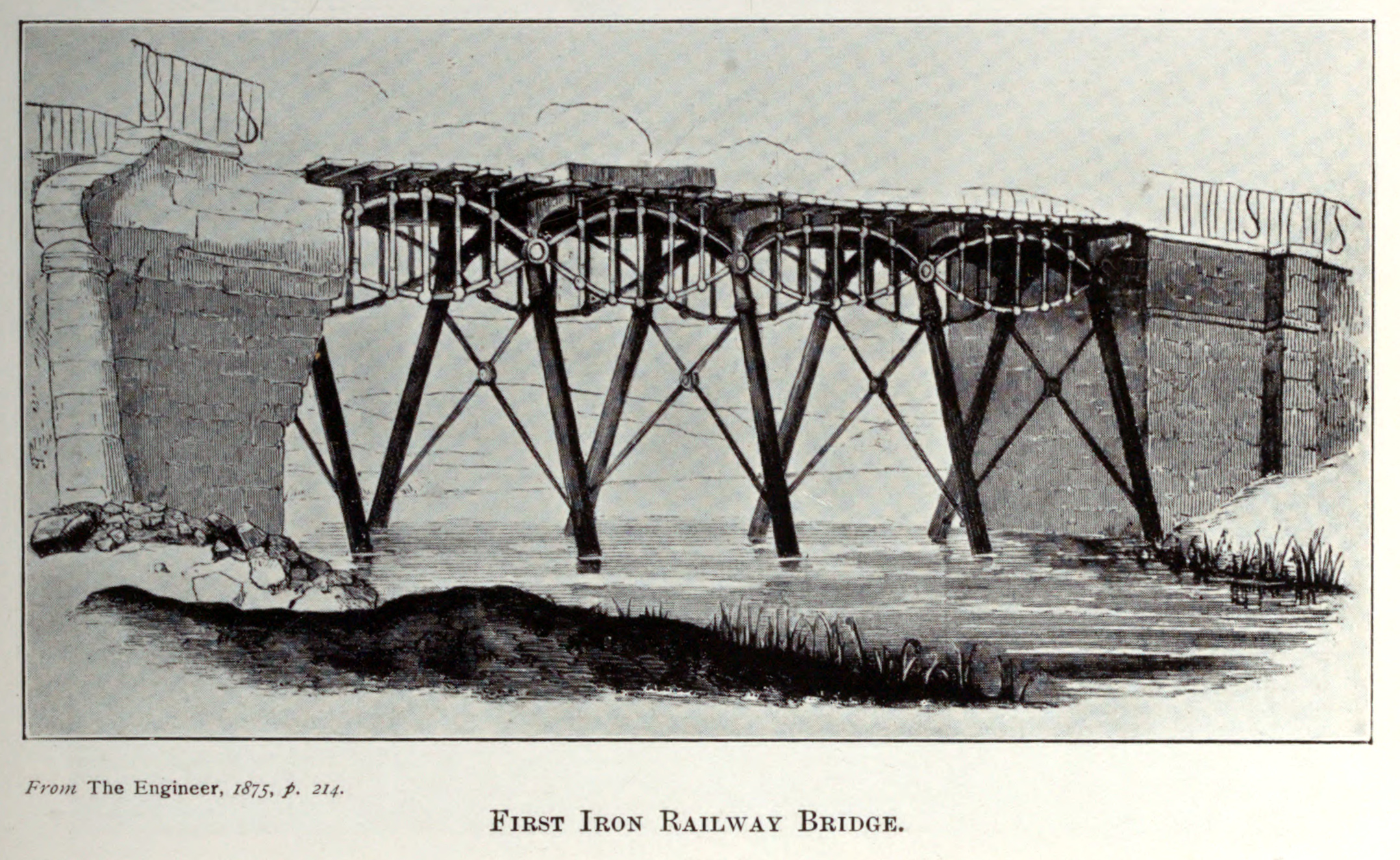
Gaunless Bridge

Gaunless Bridge was a railway bridge on the Stockton and Darlington Railway. It was completed in 1823 and is one of the first railway bridges to be constructed...

Nearby Amenities

Located within 500m of 54.620895,-1.687464
Brusselton Colliery
Historic: mine
Mineral: coal
Source: NPE
Source Name: OS 1:25k
Lat/Long: 54.6185815/-1.6822347
Brusselton Farm
Addr City: Bishop Auckland
Addr Postcode: DL14 9PW
Addr Suburb: St Helen Auckland
Place: farm
Source: OS OpenData StreetView
Source Postcode: CodePoint Open
Lat/Long: 54.6243167/-1.6874689
Redmires Farm
Addr City: Shildon
Addr Postcode: DL4 1QF
Place: farm
Source: OS OpenData StreetView
Source Postcode: CodePoint Open
Lat/Long: 54.6194002/-1.6896576
The data included in this document is from www.openstreetmap.org. The data is made available under ODbL.

Have you been to Brusselton Wood?

Leave your review of Brusselton Wood below (or comments, questions and feedback).