Newton Gill Plantation

Wood, Forest in Yorkshire Richmondshire

England

Newton Gill Plantation

The Old School Room & St. Patrick's church On the very bottom of the picture is the A684 up the dale
The Old School Room & St. Patrick's church Credit: Nick W

Newton Gill Plantation is a picturesque woodland area located in Yorkshire, England. Covering a vast expanse of approximately 200 acres, this lush green plantation is known for its stunning natural beauty and rich biodiversity. It is situated near the village of Newton and has been protected as a designated Site of Special Scientific Interest (SSSI).

The plantation is predominantly composed of a mix of deciduous and coniferous trees, creating a diverse and vibrant ecosystem. The woodland is home to an array of plant species, including oak, ash, birch, and beech, which provide a habitat for numerous wildlife species. Visitors to Newton Gill Plantation can expect to encounter various birds, such as woodpeckers, owls, and songbirds, as well as small mammals like squirrels and badgers.

The plantation also boasts several well-maintained walking trails that wind through the dense forest, allowing visitors to immerse themselves in the tranquil surroundings. These trails offer nature enthusiasts the opportunity to explore the plantation's hidden gems, including picturesque streams, secluded picnic spots, and breathtaking viewpoints.

Newton Gill Plantation is not only a haven for wildlife and nature lovers but also serves as an important carbon sink, helping to mitigate the effects of climate change. The woodland provides valuable ecosystem services, such as air purification and water filtration, making it an essential part of the local environment.

Overall, Newton Gill Plantation is a remarkable woodland area in Yorkshire, offering visitors a chance to connect with nature and experience the beauty of the region's natural landscapes.

If you have any feedback on the listing, please let us know in the comments section below.

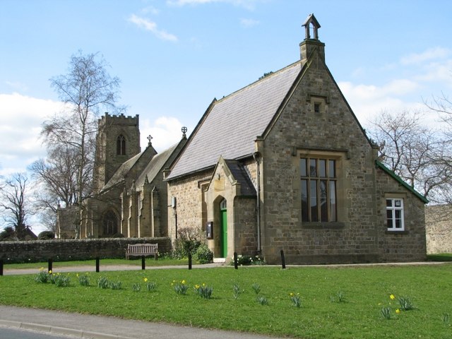
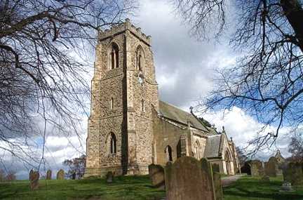
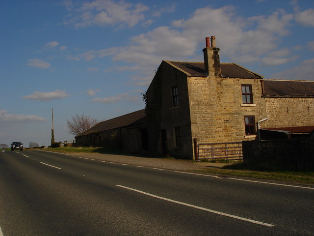
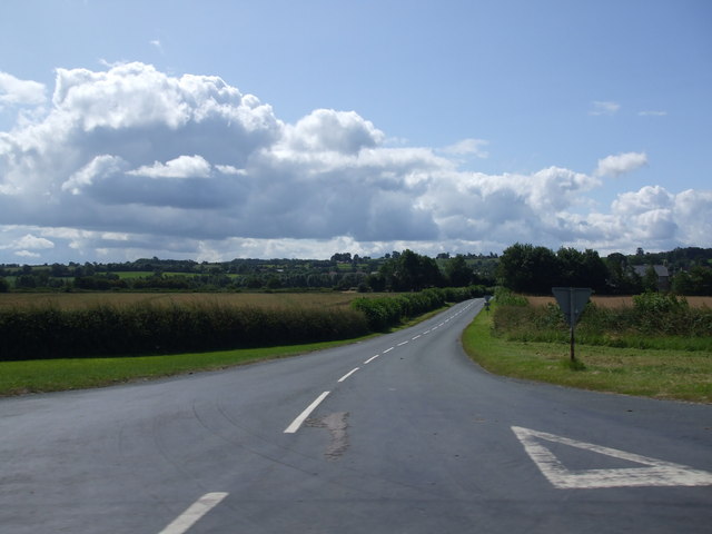
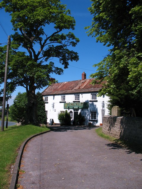
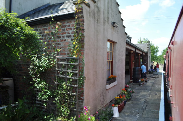
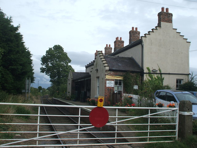
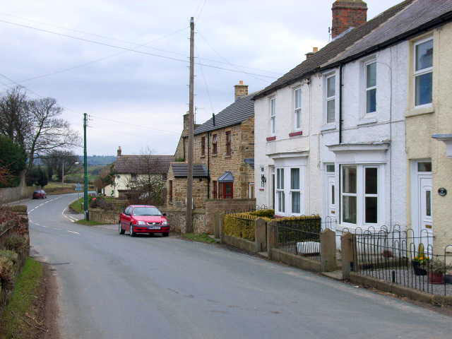
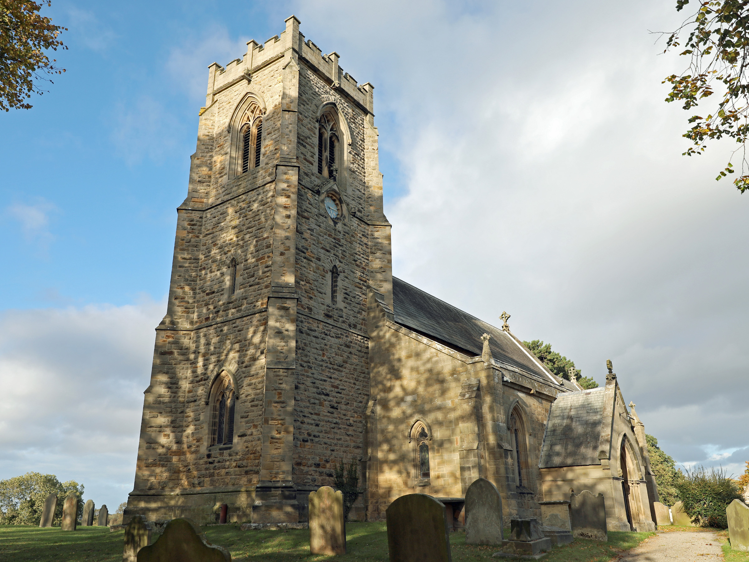
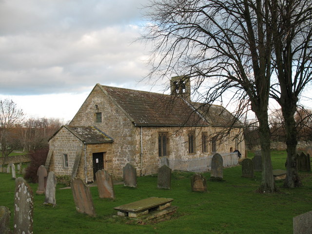
Newton Gill Plantation Images

Images are sourced within 2km of 54.302098/-1.6906652 or Grid Reference SE2089. Thanks to Geograph Open Source API. All images are credited.

The Old School Room & St. Patrick's church On the very bottom of the picture is the A684 up the dale
The Old School Room & St. Patrick's church
On the very bottom of the picture is the A684 up the dale
Patrick Brompton, St Patrick's Church
Grazing Nook Farm Taken from the A684, facing east.
Grazing Nook Farm
Taken from the A684, facing east.
Brompton Road
Brompton Road
The Green Tree, Patrick Brompton Pub next to the churchyard in Patrick Brompton.
The Green Tree, Patrick Brompton
Pub next to the churchyard in Patrick Brompton.
Finghall Station Currently trains operate on a request stop basis whereby if there are passengers on the platform then the train will halt but if there are no passengers the train will continue through without stopping. Passengers wishing to alight at Finghall must inform a member of the train crew and they will take action to ensure the train stops at the station. Only two or three out of the ten trains a day actually halt at Finghall and often this is just to ensure good timekeeping.
Finghall Station
Currently trains operate on a request stop basis whereby if there are passengers on the platform then the train will halt but if there are no passengers the train will continue through without stopping. Passengers wishing to alight at Finghall must inform a member of the train crew and they will take action to ensure the train stops at the station. Only two or three out of the ten trains a day actually halt at Finghall and often this is just to ensure good timekeeping.
A684 crossroads at Akebar Farm
A684 approaching road junction near Butterwell Farm
The Green Tree at Patrick Brompton
Crossroads west of Patrick Brompton
A684 at Akebar Cottages
Finghall railway station, Yorkshire Opened in 1856 by the Bedale & Leyburn Railway as an extension of the line from Northallerton. Closed in 1954, and reopened by the Wensleydale Railway in 2004. View south east towards Bedale.
Finghall railway station, Yorkshire
Opened in 1856 by the Bedale & Leyburn Railway as an extension of the line from Northallerton. Closed in 1954, and reopened by the Wensleydale Railway in 2004. View south east towards Bedale.
Finghall Lane station (remains), 1991 View eastward, towards Northallerton: ex-NER Northallerton - Hawes line, closed 26/4/54 but kept open for freight as far as Redmire and acquired by the heritage Wensleydale Railway in July 2003, who reopened this station (as a request stop) from 23/12/04. Evidently somebody lived there in 1991. (Cf. <a href="https://www.geograph.org.uk/photo/233989">SE1890 : Finghall level crossing and station</a> and <a href="https://www.geograph.org.uk/photo/3267935">SE1890 : Finghall railway station, Yorkshire</a>).
Finghall Lane station (remains), 1991
View eastward, towards Northallerton: ex-NER Northallerton - Hawes line, closed 26/4/54 but kept open for freight as far as Redmire and acquired by the heritage Wensleydale Railway in July 2003, who reopened this station (as a request stop) from 23/12/04. Evidently somebody lived there in 1991. (Cf. SE1890 : Finghall level crossing and station and SE1890 : Finghall railway station, Yorkshire).
A684 at St Patrick's Church, Patrick Brompton
The Church at Patrick Brompton The church, viewed from the South East corner, within the churchyard .
The Church at Patrick Brompton
The church, viewed from the South East corner, within the churchyard .
Benchmark on St Patrick's Church Ordnance Survey cut mark benchmark described on the Bench Mark Database at <span class="nowrap"><a title="http://www.bench-marks.org.uk/bm26651" rel="nofollow ugc noopener" href="http://www.bench-marks.org.uk/bm26651">Link</a><img style="margin-left:2px;" alt="External link" title="External link - shift click to open in new window" src="https://s1.geograph.org.uk/img/external.png" width="10" height="10"/></span>
Benchmark on St Patrick's Church
Ordnance Survey cut mark benchmark described on the Bench Mark Database at LinkExternal link
St Patrick's Church There is an OS benchmark <a href="https://www.geograph.org.uk/photo/3653992">SE2190 : Benchmark on St Patrick's Church</a> on the west (shaded) face of the tower to the left of the near buttress
St Patrick's Church
There is an OS benchmark SE2190 : Benchmark on St Patrick's Church on the west (shaded) face of the tower to the left of the near buttress
Hedges and stubble fields by bend in minor road
Show me another place!

Newton Gill Plantation is located at Grid Ref: SE2089 (Lat: 54.302098, Lng: -1.6906652)

Division: North Riding

Administrative County: North Yorkshire

District: Richmondshire

Police Authority: North Yorkshire

What 3 Words

///changes.cure.slugs. Near Bedale, North Yorkshire

Related Wikis

Aysgarth School

Aysgarth School is an independent day and boarding preparatory school near to the village of Newton-le-Willows, North Yorkshire, England. As the name suggests...

Jervaulx railway station

Jervaulx railway station was a railway station in Newton-le-Willows, North Yorkshire, England. Originally named after this place, it was renamed after...

Newton-le-Willows, North Yorkshire

Newton-le-Willows is a village and civil parish in the Richmondshire district of North Yorkshire, England, 3 miles (4.8 km) west of Bedale. Historically...

Akebar

Akebar is a township and civil parish in North Yorkshire, England, about eight miles south of Richmond. It consists of a caravan site, as well as several...

Finghall railway station

Finghall railway station is on the Wensleydale Railway and serves the village of Finghall in North Yorkshire, England. Adjacent to the station is a manually...

Church of St Patrick, Patrick Brompton

The Church of St Patrick, is the parish church for the village and parish of Patrick Brompton in North Yorkshire, England. The church is one of six in...

Finghall

Finghall is a village and civil parish in North Yorkshire, England. == History == The village is mentioned in the Domesday Book as Fingall when it belonged...

Patrick Brompton

Patrick Brompton is a village and civil parish in North Yorkshire, England. Patrick Brompton is situated about 4 miles (6.4 km) west of Bedale. It lies...

Nearby Amenities

Located within 500m of 54.302098,-1.6906652
Crossing Barrier: no
Crossing Bell: no
Crossing Light: no
Railway: level_crossing
Supervised: no
Lat/Long: 54.3019413/-1.6831207
Power: pole
Lat/Long: 54.3021577/-1.6872608
Power: pole
Lat/Long: 54.3015414/-1.6856526
Power: pole
Lat/Long: 54.3009996/-1.684277
The data included in this document is from www.openstreetmap.org. The data is made available under ODbL.

Have you been to Newton Gill Plantation?

Leave your review of Newton Gill Plantation below (or comments, questions and feedback).