Rowington Coppice

Wood, Forest in Warwickshire Warwick

England

Rowington Coppice

Grand Union Canal near Turner's Green
Grand Union Canal near Turner's Green Credit: Mark Percy

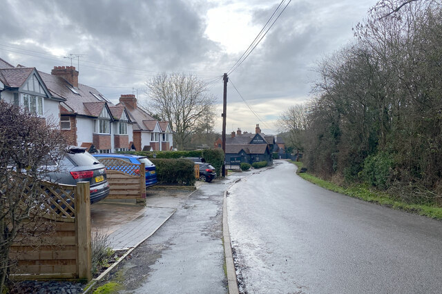
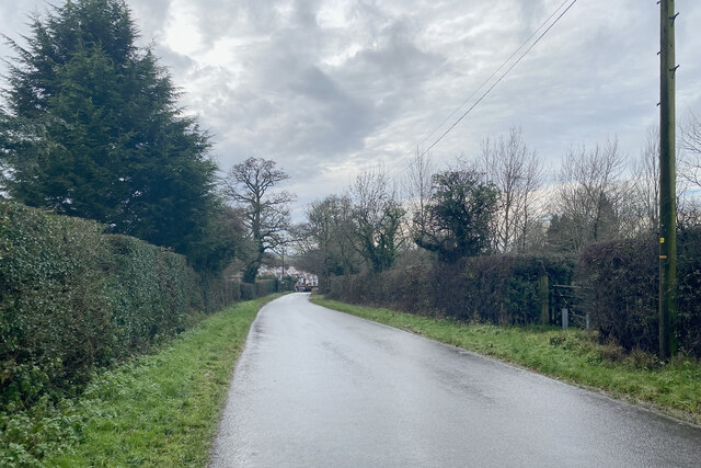
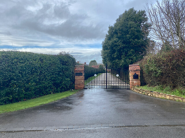
Rowington Coppice is a beautiful woodland located in Warwickshire, England. This ancient woodland covers an area of approximately 40 acres and is a designated Site of Special Scientific Interest (SSSI) due to its diverse range of flora and fauna.

The woodland is predominantly made up of oak and beech trees, with occasional patches of holly and hazel interspersed throughout. The forest floor is rich in biodiversity, with a variety of plants, fungi, and wildlife thriving in this natural habitat.

Visitors to Rowington Coppice can enjoy peaceful walks along well-maintained paths that wind through the woodland, providing opportunities to spot native wildlife such as deer, birds, and squirrels. The tranquil atmosphere of the forest makes it a popular destination for nature lovers, photographers, and those seeking a peaceful retreat from the hustle and bustle of everyday life.

Overall, Rowington Coppice is a hidden gem in Warwickshire, offering a glimpse into the natural beauty and tranquility of the English countryside.

If you have any feedback on the listing, please let us know in the comments section below.

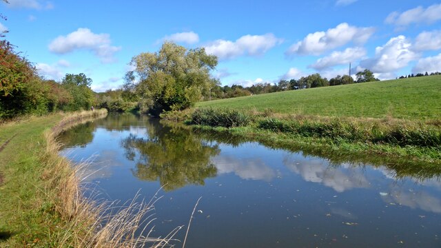
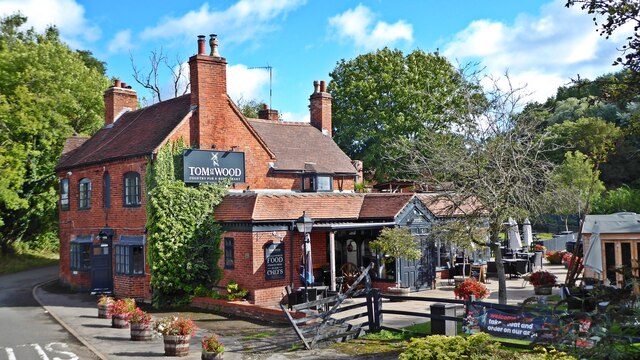
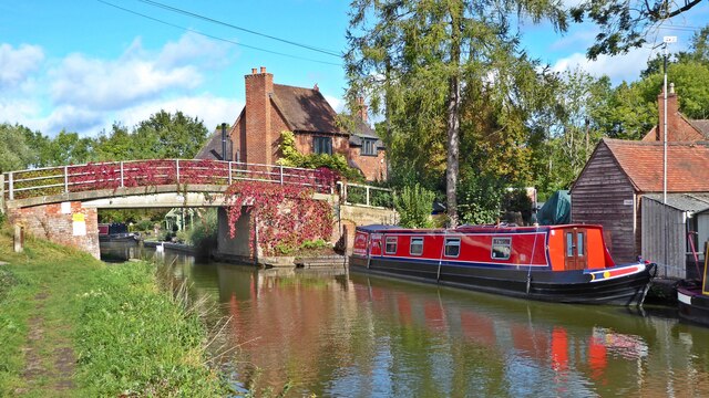
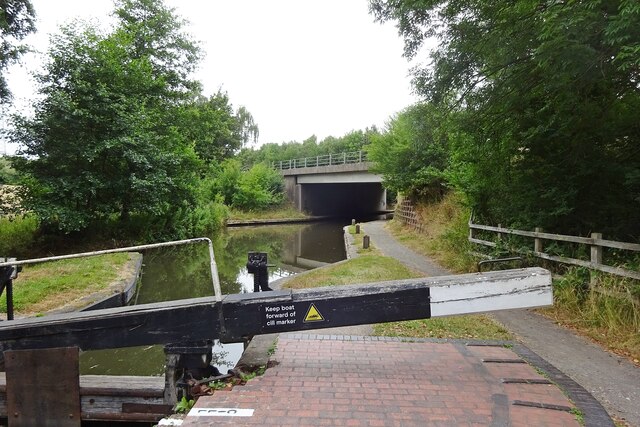
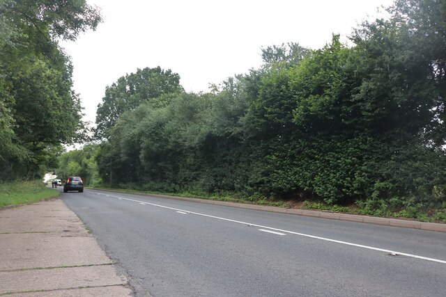
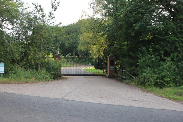
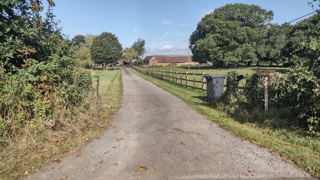
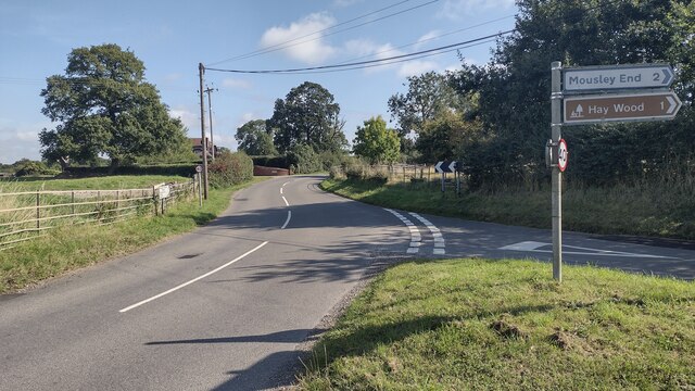
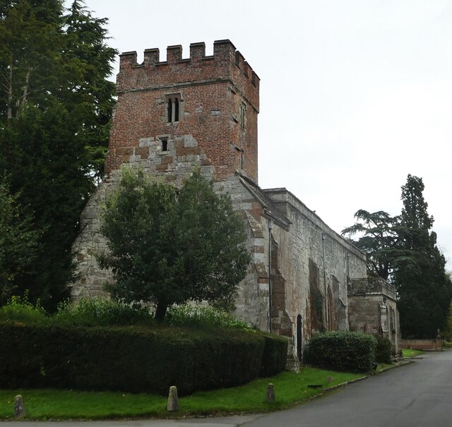
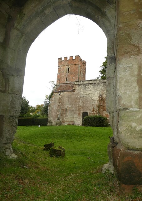
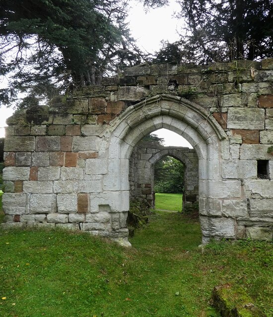
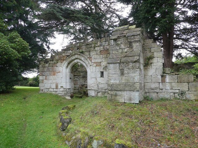
Rowington Coppice Images

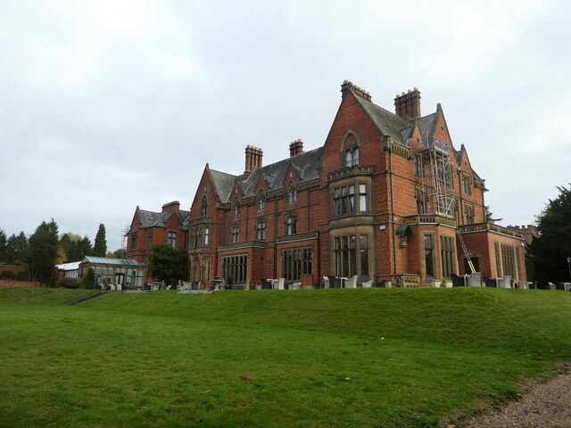
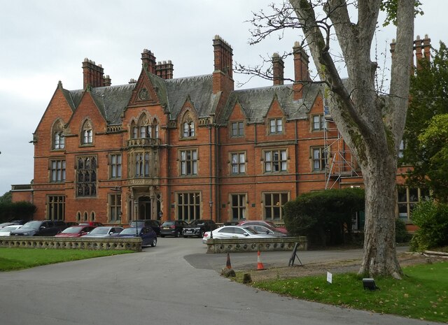
Images are sourced within 2km of 52.333352/-1.7046724 or Grid Reference SP2070. Thanks to Geograph Open Source API. All images are credited.

Grand Union Canal near Turner's Green
Tom O'The Wood country pub and restaurant
Grand Union Canal at Turner's Green
Kingswood-Stratford Canal M40 Motorway Bridge.
Kingswood-Stratford Canal
M40 Motorway Bridge.
Approaching Turner's Green Finwood Road drops down into the canalside hamlet.
Approaching Turner's Green
Finwood Road drops down into the canalside hamlet.
Southwest on Finwod Road Finwood Road turns south from the Old Warwick Road for Turner's Green, ahead, and Lowsonford.
Southwest on Finwod Road
Finwood Road turns south from the Old Warwick Road for Turner's Green, ahead, and Lowsonford.
Gates to Windmill Cottage, Turner's Green An entrance on Finwood Road. Old maps show Windmill House here and a circular feature where a windmill  might have been. This is the same relatively high ground as the Rowington Mill site <a href="https://www.geograph.org.uk/photo/7378320">SP2070 : Rowington Mill, Rowington Green</a>.
Gates to Windmill Cottage, Turner's Green
An entrance on Finwood Road. Old maps show Windmill House here and a circular feature where a windmill might have been. This is the same relatively high ground as the Rowington Mill site SP2070 : Rowington Mill, Rowington Green.
Turner's Green Bridge
Birmingham Road, Baddesley Clinton
The entrance to Pheasant Lakes Farm, Wroxall
Path up to Green Farm Path and drive up to Green Farm
Path up to Green Farm
Path and drive up to Green Farm
Rising Lane Rising Lane passing the turn to Mousley End
Rising Lane
Rising Lane passing the turn to Mousley End
Wroxall Abbey - Church of St Leonard Dating originally from c.1315 with the west tower (seen prominently here) added in c.1663. It takes its dedication from the former St Leonard's priory, the ruins of which lie to its south. The church is to the east of the C19th Wroxall Abbey which was never actually an abbey. See shared description below for more information and links.
Wroxall Abbey - Church of St Leonard
Dating originally from c.1315 with the west tower (seen prominently here) added in c.1663. It takes its dedication from the former St Leonard's priory, the ruins of which lie to its south. The church is to the east of the C19th Wroxall Abbey which was never actually an abbey. See shared description below for more information and links.
Wroxall Abbey - St Leonard's church through priory arch Taken from inside the ruins of St Leonard's Priory looking through its northern arch to the tower of St Leonard's church. See shared description for more information.
Wroxall Abbey - St Leonard's church through priory arch
Taken from inside the ruins of St Leonard's Priory looking through its northern arch to the tower of St Leonard's church. See shared description for more information.
Wroxall Abbey - Arches of ruined St Leonard's priory Looking through the northern arch of part of the ruins of St Leonard's Priory (probably the former frater) through to the arch in its southern wall.
See also <a href="https://www.geograph.org.uk/photo/7006464">SP2270 : Wroxall Abbey - St Leonard's Priory ruins (frater)</a>
and <a href="https://www.geograph.org.uk/photo/7006832">SP2270 : Wroxall Abbey - St Leonard's Priory ruins (chapter house)</a>
and <a href="https://www.geograph.org.uk/photo/7006840">SP2270 : Wroxall Abbey - St Leonard's Priory ruins (both parts)</a>
and shared description below.
Wroxall Abbey - Arches of ruined St Leonard's priory
Looking through the northern arch of part of the ruins of St Leonard's Priory (probably the former frater) through to the arch in its southern wall. See also SP2270 : Wroxall Abbey - St Leonard's Priory ruins (frater) and SP2270 : Wroxall Abbey - St Leonard's Priory ruins (chapter house) and SP2270 : Wroxall Abbey - St Leonard's Priory ruins (both parts) and shared description below.
Wroxall Abbey - St Leonard's Priory ruins (frater) There are two main clumps of ruins of St Leonard's Priory at Wroxall Abbey - this is the most complete which lies to the WSW of the other remains (see <a href="https://www.geograph.org.uk/photo/7006832">SP2270 : Wroxall Abbey - St Leonard's Priory ruins (chapter house)</a>). It is thought that part of this ruin is the former priory frater, with a screens passage to the eastern end.
See also <a href="https://www.geograph.org.uk/photo/7006459">SP2270 : Wroxall Abbey - Arches of ruined St Leonard's priory</a>
and <a href="https://www.geograph.org.uk/photo/7006840">SP2270 : Wroxall Abbey - St Leonard's Priory ruins (both parts)</a>
and shared description below.
Wroxall Abbey - St Leonard's Priory ruins (frater)
There are two main clumps of ruins of St Leonard's Priory at Wroxall Abbey - this is the most complete which lies to the WSW of the other remains (see SP2270 : Wroxall Abbey - St Leonard's Priory ruins (chapter house)). It is thought that part of this ruin is the former priory frater, with a screens passage to the eastern end. See also SP2270 : Wroxall Abbey - Arches of ruined St Leonard's priory and SP2270 : Wroxall Abbey - St Leonard's Priory ruins (both parts) and shared description below.
Wroxall Abbey - rear view The rear (western) aspect of Wroxall Abbey. See shared description for more information.
Wroxall Abbey - rear view
The rear (western) aspect of Wroxall Abbey. See shared description for more information.
Wroxall Abbey - front The front of Wroxall Abbey which is now a hotel and spa. See shared description below.
Wroxall Abbey - front
The front of Wroxall Abbey which is now a hotel and spa. See shared description below.
Show me another place!

Rowington Coppice is located at Grid Ref: SP2070 (Lat: 52.333352, Lng: -1.7046724)

Administrative County: Warwickshire

District: Warwick

Police Authority: Warwickshire

What 3 Words

///grownup.masterpiece.glad. Near Wroxall, Warwickshire

Nearby Locations

Rowington Coppice

Related Wikis

Baddesley Clinton

Baddesley Clinton (grid reference SP199714) is a moated manor house, about 8 miles (13 km) north-west of the town of Warwick, in the village of Baddesley...

Kingswood Junction

Kingswood Junction (grid reference SP185709) is a canal junction where the Stratford-upon-Avon Canal meets the Grand Union Canal at Kingswood, Warwickshire...

Kingswood, Warwickshire

Kingswood is an area in the civil parishes of Lapworth and Rowington in Warwick District, Warwickshire, England. It forms the main residential area of...

Lapworth railway station

Lapworth railway station serves the village of Kingswood, Warwickshire, near the village of Lapworth from which it takes its name. The station has two...

Nearby Amenities

Located within 500m of 52.333352,-1.7046724
Parking
Hay Wood
Notes: Lay-by
Lat/Long: 52.3340509/-1.6991846
Source: survey
Tourism: picnic_site
Lat/Long: 52.3344886/-1.6992159
Barrier: lift_gate
Lat/Long: 52.3345049/-1.6995516
Man Made: windmill
Lat/Long: 52.329941/-1.7001025
Leisure: picnic_table
Lat/Long: 52.3360999/-1.6994394
The data included in this document is from www.openstreetmap.org. The data is made available under ODbL.

Have you been to Rowington Coppice?

Leave your review of Rowington Coppice below (or comments, questions and feedback).