Railston's Plantation
Wood, Forest in Northumberland
England
Railston's Plantation
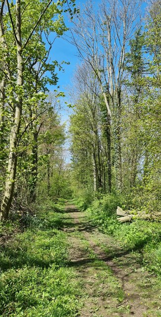
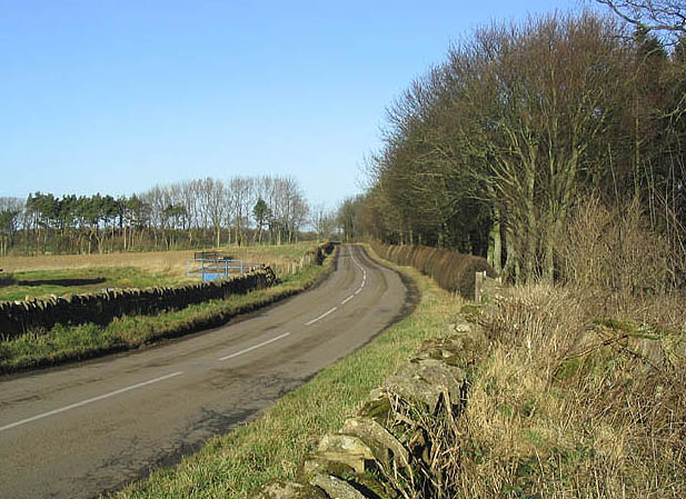
Railston's Plantation is a picturesque woodland located in Northumberland, England. Nestled in the heart of the county, this expansive plantation covers an area of approximately 200 acres. The plantation is situated near the small village of Railston and is a popular destination for nature enthusiasts and outdoor lovers.
The woodland, also referred to as Railston's Wood or Railston's Forest, is characterized by its diverse range of tree species, including oak, beech, and pine. These majestic trees form a dense canopy, providing shade and shelter for a variety of wildlife that call the plantation home.
Walking through Railston's Plantation, visitors are treated to a tranquil and serene atmosphere. The forest floor is carpeted with a rich layer of leaf litter and moss, creating a soft and inviting path for hikers to explore. The plantation is crisscrossed by a network of well-maintained trails, making it easy for visitors to navigate their way through the woodland and admire its natural beauty.
One of the main attractions of Railston's Plantation is its wildlife. The woodland is home to a wide array of species, including deer, foxes, badgers, and a diverse range of birdlife. Nature enthusiasts can spend hours observing and photographing these creatures in their natural habitat.
Railston's Plantation also offers various recreational activities. The well-marked trails are ideal for hiking and cycling, and there are designated picnic areas where visitors can relax and enjoy a scenic outdoor lunch. The plantation is also a popular spot for birdwatching and photography, with its diverse array of bird species and stunning natural backdrops.
In conclusion, Railston's Plantation in Northumberland is a captivating woodland that offers a serene escape from the bustle of daily life. With its diverse flora and fauna, well-maintained trails, and recreational opportunities, it is a must-visit destination for nature lovers and outdoor enthusiasts alike.
If you have any feedback on the listing, please let us know in the comments section below.
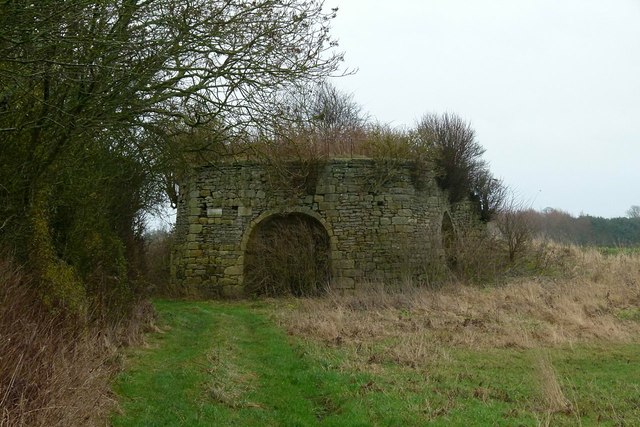
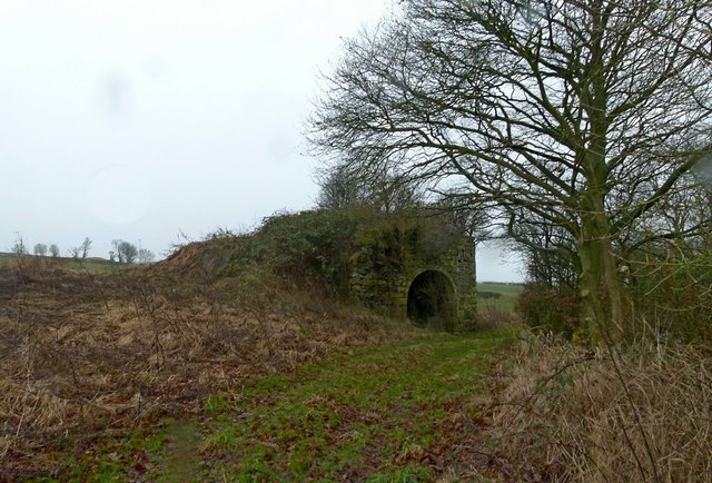
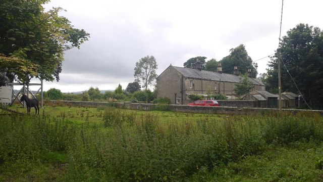
Railston's Plantation Images
Images are sourced within 2km of 55.479001/-1.6817115 or Grid Reference NU2020. Thanks to Geograph Open Source API. All images are credited.


Railston's Plantation is located at Grid Ref: NU2020 (Lat: 55.479001, Lng: -1.6817115)
Unitary Authority: Northumberland
Police Authority: Northumbria
What 3 Words
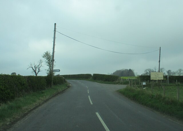
///slung.inferior.scarecrow. Near Embleton, Northumberland
Nearby Locations
Related Wikis

Rock, Northumberland
Rock is a village and former civil parish, now in the parish of Rennington, in Northumberland, England about 5 miles (8 km) north of Alnwick. In 1951 the...

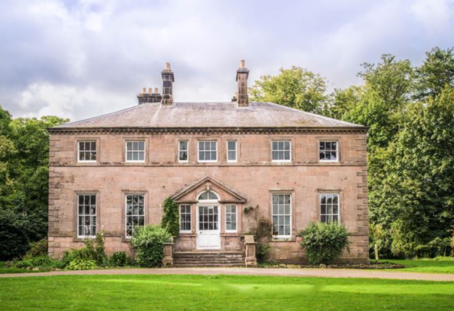
Rock Hall, Northumberland
Rock Hall is a privately owned 18th-century country house, at Rock, Rennington, near Alnwick, Northumberland (grid reference NU20082026). It is a Grade...

Rennington
Rennington is a village in Northumberland, England about 4 miles (6 km) north of Alnwick. == Governance == Rennington is in the parliamentary constituency...

Christon Bank railway station
Christon Bank railway station served the village of Christon Bank, Northumberland, England from 1847 to 1965 on the East Coast Main Line. == History... ==
Christon Bank
Christon Bank is a small village in Northumberland, England, 9 miles north of the town of Alnwick. Prior to 1847 it was a small farming hamlet, which was...
Charlton Hall, Northumberland
Charlton Hall near Ellingham, Northumberland is a building of historical significance and is listed Grade II* on the English Heritage Register. It was...

Fallodon
Fallodon is a hamlet and former civil parish, now in the parish of Newton-by-the-Sea, in the county of Northumberland, England. It is the territorial designation...

Fallodon railway station
Fallodon railway station was a private railway station built for Sir George Grey at Fallodon Hall, Northumberland, England from 1847 to 1934 on the East...
Nearby Amenities
Located within 500m of 55.479001,-1.6817115Have you been to Railston's Plantation?
Leave your review of Railston's Plantation below (or comments, questions and feedback).