Boathouse Plantation
Wood, Forest in Derbyshire Derbyshire Dales
England
Boathouse Plantation

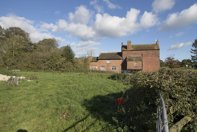
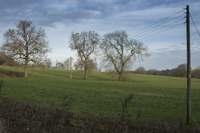
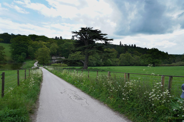
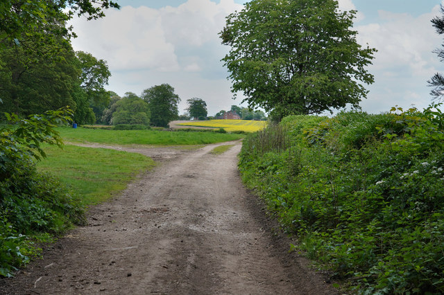
Boathouse Plantation is a picturesque woodland area located in Derbyshire, England. Nestled within the heart of the county, this enchanting plantation is renowned for its lush greenery, towering trees, and serene atmosphere. Boathouse Plantation spans over a sizeable area, providing visitors with ample space to explore and immerse themselves in the surrounding natural beauty.
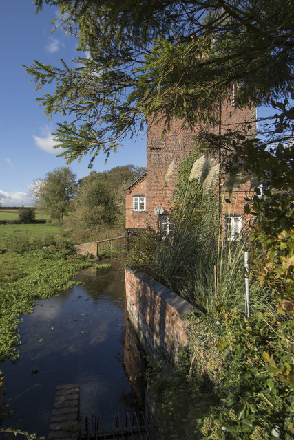
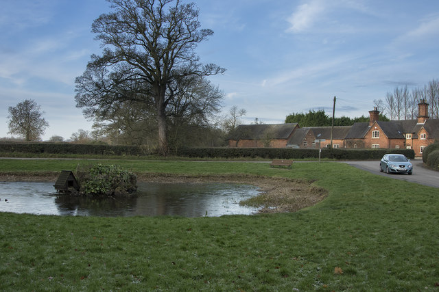
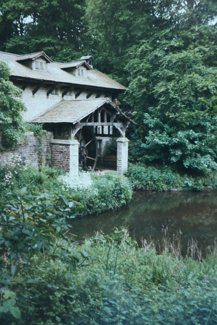
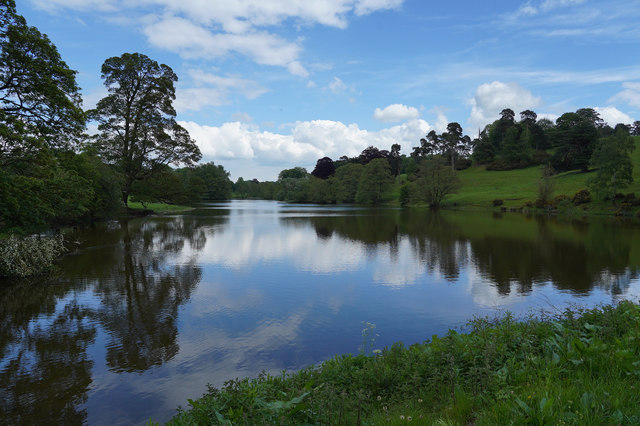
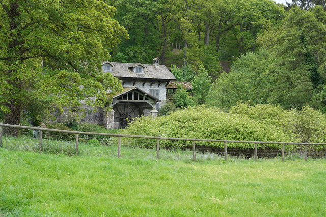
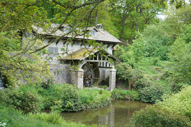
The plantation gets its name from the presence of a charming boathouse situated near the edge of a small lake. This boathouse adds to the plantation's allure, offering a picturesque spot for visitors to relax and enjoy the tranquil surroundings. The lake itself is home to various species of waterfowl, adding to the plantation's biodiversity.
The woodland within Boathouse Plantation is diverse and teeming with life. A variety of tree species can be found here, including oak, beech, and birch, creating a dense canopy that provides shade and shelter. The forest floor is adorned with a rich carpet of wildflowers, adding vibrant pops of color to the landscape.
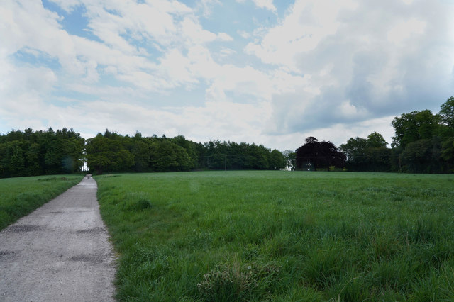
Visitors to Boathouse Plantation can indulge in a range of recreational activities. The expansive woodland offers numerous walking trails, providing opportunities for leisurely strolls and peaceful hikes. Birdwatching enthusiasts will also find delight in the plantation, as it is home to a wide array of bird species, including woodpeckers, owls, and thrushes.
Overall, Boathouse Plantation in Derbyshire is a haven of natural beauty and tranquility. Whether one seeks a peaceful retreat or an opportunity to explore the wonders of the English countryside, this plantation offers an idyllic setting for visitors to escape the hustle and bustle of everyday life.
If you have any feedback on the listing, please let us know in the comments section below.
Boathouse Plantation Images
Images are sourced within 2km of 52.97813/-1.7005672 or Grid Reference SK2042. Thanks to Geograph Open Source API. All images are credited.


Boathouse Plantation is located at Grid Ref: SK2042 (Lat: 52.97813, Lng: -1.7005672)
Administrative County: Derbyshire
District: Derbyshire Dales
Police Authority: Derbyshire
What 3 Words
///asked.thighs.amazed. Near Ashbourne, Derbyshire
Related Wikis

Osmaston, Derbyshire Dales
Osmaston is a small village and civil parish in the Derbyshire Dales in the county of Derbyshire in England. The population of the civil parish as taken...

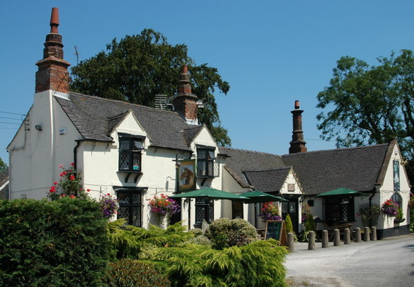
St Martin's Church, Osmaston
St Martin's Church, Osmaston is a Grade II* listed parish church in the Church of England: 295 in Osmaston, Derbyshire Dales. == History == The original...

Yeldersley
Yeldersley is a manor mentioned in the Domesday book. It is located near Ashbourne in Derbyshire. Today there is Yeldersley Hall. This hamlet had a population...

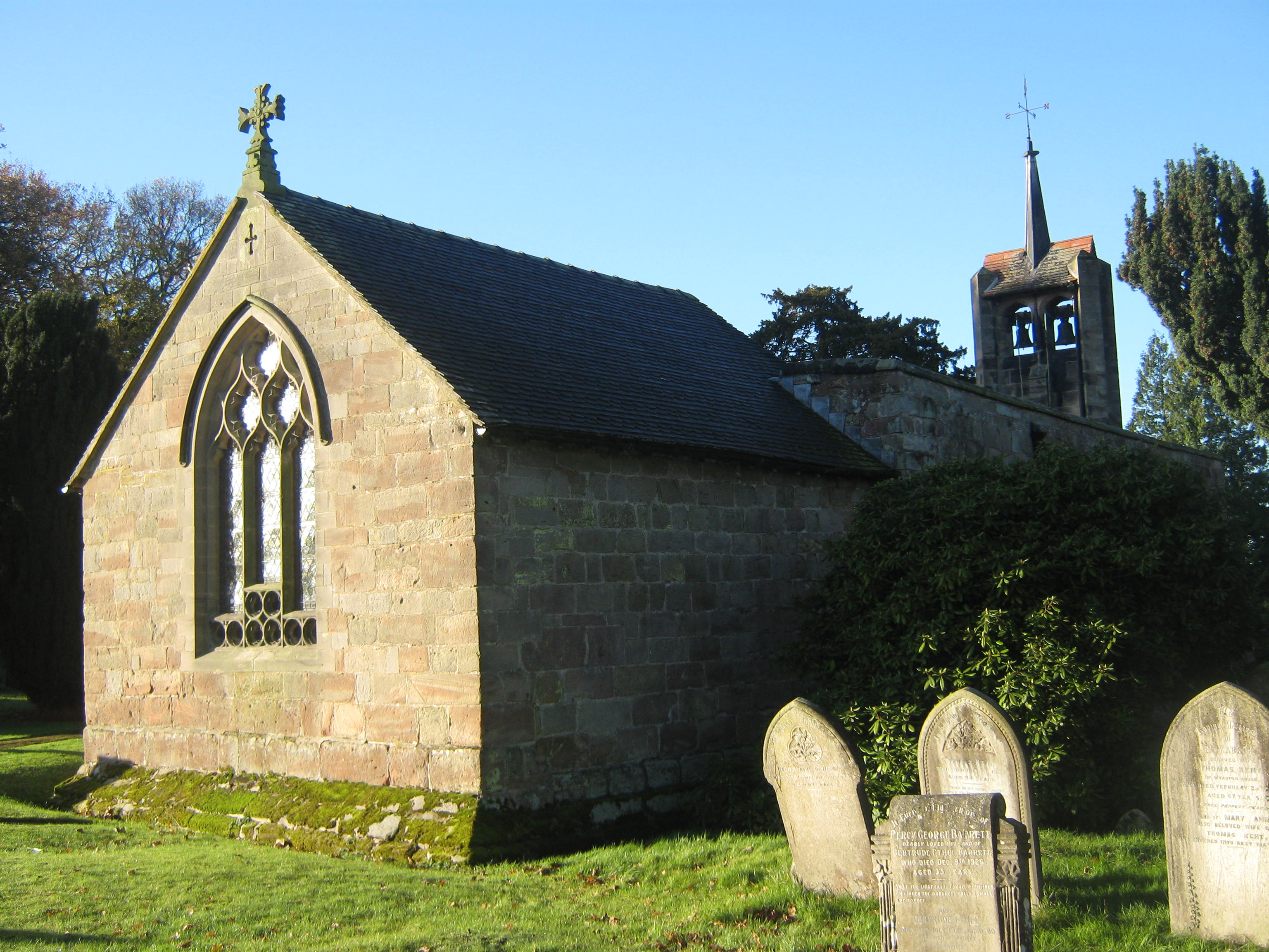
St Michael's Church, Shirley
St Michael's Church, Shirley is a Grade II* listed parish church in the Church of England: 318 in Shirley, Derbyshire. == History == The church dates...
Wyaston
Wyaston is a hamlet in Derbyshire, England. It is located 3 miles south of Ashbourne. Wyaston is in the civil parish of Edlaston and Wyaston. This is 1...
Edlaston and Wyaston
Edlaston and Wyaston is a civil parish within the Derbyshire Dales district, in the county of Derbyshire, England. The parish includes the villages of...

Shirley, Derbyshire
Shirley is a small village and civil parish in Derbyshire, 4 miles (6 km) south-east of Ashbourne. The population of the civil parish as taken at the 2011...

Yeldersley Hall, Derbyshire
Yeldersley Hall is a building of historical significance in Ashbourne, Derbyshire, England and is listed on the English Heritage Register. It was built...
Nearby Amenities
Located within 500m of 52.97813,-1.7005672Have you been to Boathouse Plantation?
Leave your review of Boathouse Plantation below (or comments, questions and feedback).