Black Meadow Wood
Wood, Forest in Staffordshire East Staffordshire
England
Black Meadow Wood

Black Meadow Wood is a pristine forest located in Staffordshire, England. Covering an area of approximately 100 hectares, this wood has become a popular destination for nature enthusiasts and hikers alike. The wood is characterized by its dense canopy of oak, beech, and ash trees, creating a serene and tranquil atmosphere for visitors.
As visitors venture deeper into the wood, they will come across a diverse range of flora and fauna. The forest floor is carpeted with an array of wildflowers, including bluebells, primroses, and wood sorrels, adding a splash of color to the green landscape. The wood is also home to a variety of animal species, including deer, foxes, and badgers, making it a haven for wildlife enthusiasts.
Trails crisscross throughout the wood, providing visitors with the opportunity to explore its natural beauty. These well-maintained paths cater to both leisurely strolls and more challenging hikes, allowing visitors to tailor their experience to their preferences. Along the trails, visitors may come across hidden streams and small ponds, adding to the enchanting allure of the wood.
Black Meadow Wood is not only a haven for nature lovers but also a historical gem. In the heart of the wood lies the remnants of an ancient settlement, dating back to the Iron Age. This archaeological site provides a glimpse into the rich history of the area and offers a unique perspective on the wood's past.
Visitors to Black Meadow Wood can expect a truly immersive and captivating experience, surrounded by the beauty of nature and the echoes of history.
If you have any feedback on the listing, please let us know in the comments section below.
Black Meadow Wood Images
Images are sourced within 2km of 52.776674/-1.7024988 or Grid Reference SK2019. Thanks to Geograph Open Source API. All images are credited.


Black Meadow Wood is located at Grid Ref: SK2019 (Lat: 52.776674, Lng: -1.7024988)
Administrative County: Staffordshire
District: East Staffordshire
Police Authority: Staffordshire
What 3 Words
///intelligible.hopping.unhelpful. Near Barton under Needwood, Staffordshire
Nearby Locations
Related Wikis
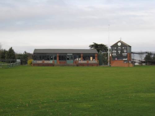
Deer Park, Dunstall
Deer Park is a cricket ground within the grounds of Dunstall Hall, Dunstall, Staffordshire. The first recorded match on the ground was in 1997, when the...
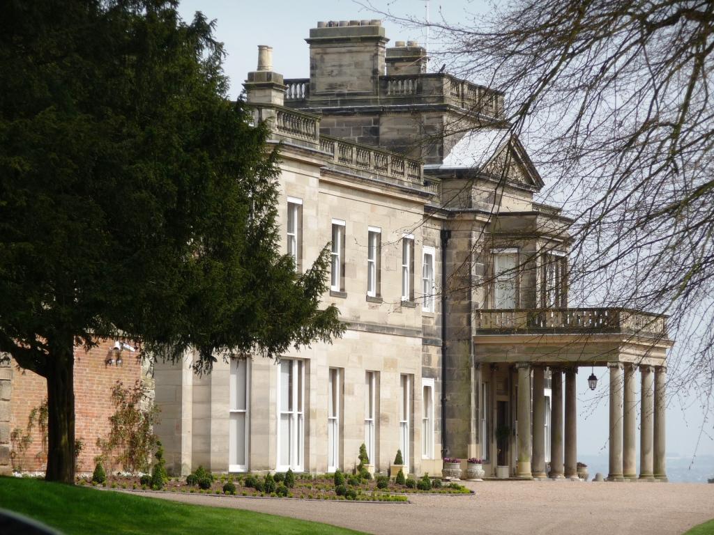
Dunstall Hall
Dunstall Hall is a privately owned 18th century mansion house near Tatenhill, Burton upon Trent, Staffordshire. It is a Grade II* listed building. �...
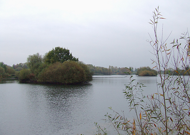
Branston Water Park
Branston Water Park is a local nature reserve near Burton upon Trent, in Staffordshire, England, adjacent to the village of Branston. == History == The...
Dunstall
Dunstall is a small village and civil parish in the borough of East Staffordshire, Staffordshire, England. It lies between Burton upon Trent and Barton...
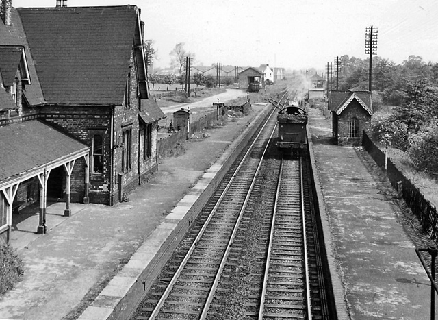
Barton and Walton railway station
Barton and Walton railway station opened in 1839 by the Birmingham and Derby Junction Railway on its original route from Derby to Hampton-in-Arden meeting...

John Taylor High School
John Taylor High School is a specialist science and leadership academy located in the East Staffordshire village of Barton-under-Needwood, near Burton...

Tatenhill
Tatenhill is an ancient village and a civil parish located in a deep valley, between two hills, which gradually descend from the eastern border of Needwood...
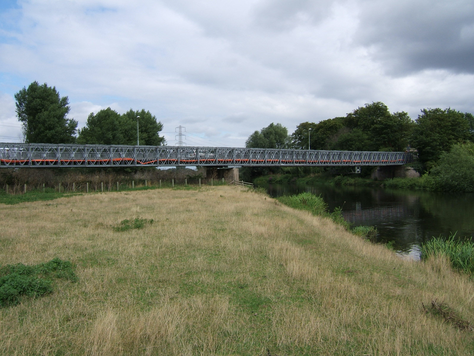
Bailey Bridge (Walton on Trent)
The Bailey Bridge (also known as Walton Bridge) is a crossing of the River Trent at Walton-on-Trent on the border of Derbyshire and Staffordshire in England...
Nearby Amenities
Located within 500m of 52.776674,-1.7024988Have you been to Black Meadow Wood?
Leave your review of Black Meadow Wood below (or comments, questions and feedback).