Avenue Plantation
Wood, Forest in Northumberland
England
Avenue Plantation
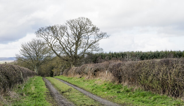
Avenue Plantation is a picturesque woodland located in Northumberland, England. Spread over an area of several acres, this enchanting forest is known for its dense foliage, towering trees, and serene atmosphere. The plantation is nestled in the heart of Northumberland, making it easily accessible to both locals and tourists.
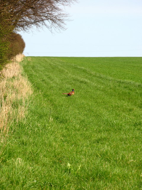
As visitors step into Avenue Plantation, they are greeted by a breathtaking sight of a lush green canopy formed by the majestic trees that dominate the landscape. The forest is home to a diverse range of species including oak, beech, and birch trees, providing a haven for various birds and wildlife.
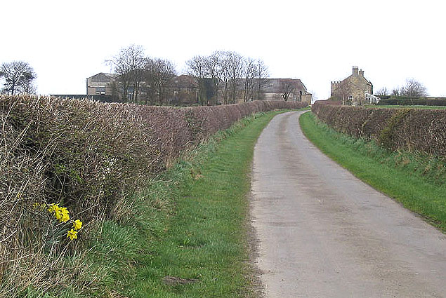
The woodland is crisscrossed by a network of well-maintained paths, allowing visitors to explore the plantation at their own pace. These pathways meander through the forest, taking visitors past bubbling streams, wildflower meadows, and hidden clearings. The tranquility of the surroundings makes it an ideal spot for nature walks, birdwatching, or simply enjoying a peaceful picnic.
Avenue Plantation is also popular among outdoor enthusiasts, as it offers opportunities for activities such as cycling, horse riding, and photography. The plantation is well-equipped with facilities including parking areas, picnic spots, and benches for visitors to relax and take in the beauty of the surroundings.
Overall, Avenue Plantation in Northumberland is a haven of natural beauty, offering a tranquil escape from the hustle and bustle of everyday life. Whether one is seeking a leisurely stroll through the woods or an immersive nature experience, this woodland provides a serene and picturesque setting for all.
If you have any feedback on the listing, please let us know in the comments section below.
Avenue Plantation Images
Images are sourced within 2km of 55.27197/-1.6844853 or Grid Reference NZ2097. Thanks to Geograph Open Source API. All images are credited.


Avenue Plantation is located at Grid Ref: NZ2097 (Lat: 55.27197, Lng: -1.6844853)
Unitary Authority: Northumberland
Police Authority: Northumbria
What 3 Words
///lingering.quoted.crinkled. Near Felton, Northumberland
Nearby Locations
Related Wikis
Eshott
Eshott is a village and former civil parish, now in the parish of Thirston, in Northumberland, England. In 1951 the parish had a population of 114.It is...
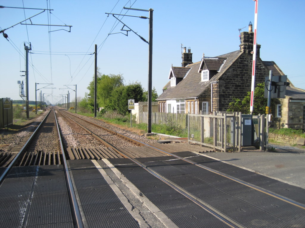
Chevington railway station
Chevington railway station served the village of West Chevington, Northumberland, England from 1847 to 1964 on the East Coast Main Line. == History... ==

Eshott Airfield
Eshott Airfield is a former Royal Air Force (RAF) World War II airfield in the civil parish of Thirston, in the county of Northumberland, England, 20 miles...

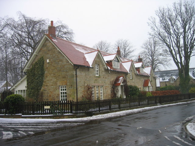
Felton, Northumberland
Felton is a village in Northumberland, North East England, 8.9 miles (14 km) south of Alnwick and 12 miles (19 km) north of Morpeth. The nearest city,...
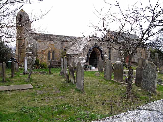
Church of St Michael and All Angels, Felton
The Church of St Michael and All Angels is a parish church located on Riverside in Felton, Northumberland, England. Built circa 1200, its many alterations...
Causey Park Bridge
Causey Park Bridge is a village in Northumberland, England. It is about 6 miles (10 km) to the north of Morpeth and a similar distance inland from the...
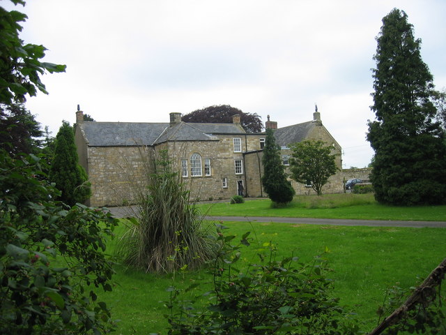
Causey Park House
Causey Park House is a 16th-century former manor house with Grade II listed building status situated at Causey Park, Northumberland, England. The Manors...

RAF Acklington
Royal Air Force Acklington, simply known as RAF Acklington, is a former Royal Flying Corps and Royal Air Force station located 3.2 miles (5.1 km) south...
Nearby Amenities
Located within 500m of 55.27197,-1.6844853Have you been to Avenue Plantation?
Leave your review of Avenue Plantation below (or comments, questions and feedback).