Renton Wood
Wood, Forest in Yorkshire Harrogate
England
Renton Wood
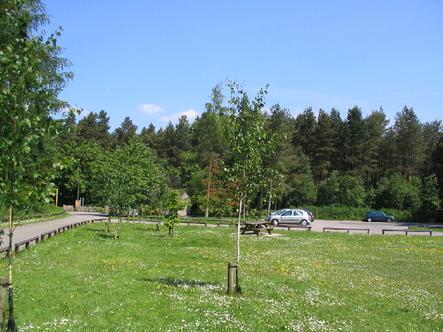
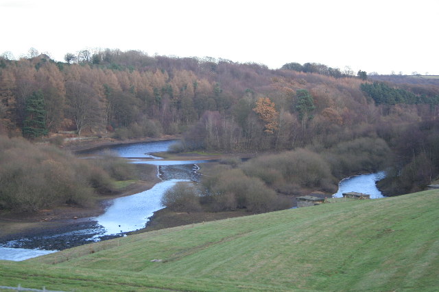
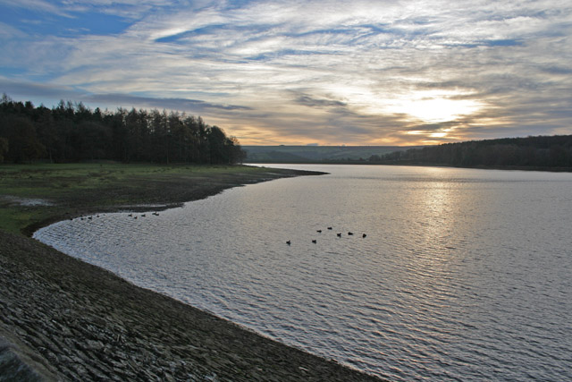
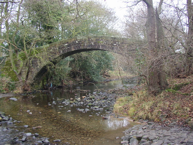
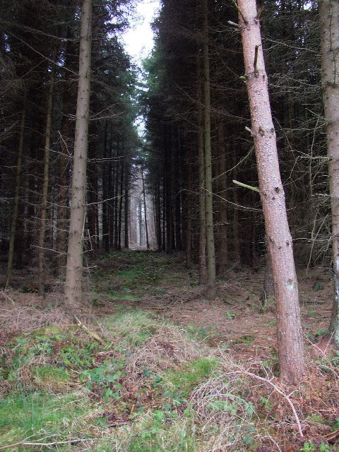
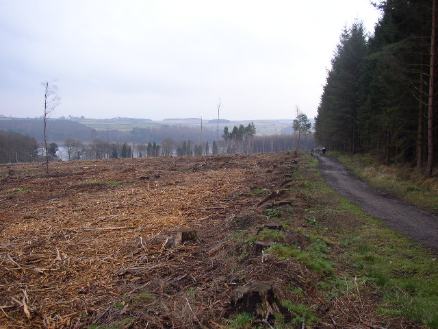
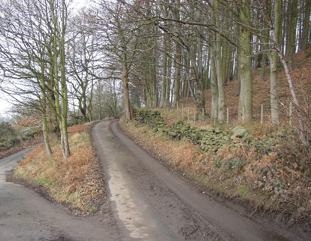
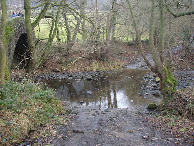
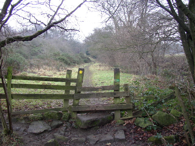
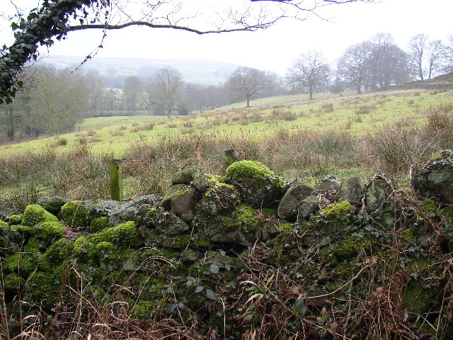
Renton Wood is a picturesque forest located in Yorkshire, England. Covering an area of approximately 100 acres, Renton Wood is known for its diverse range of flora and fauna, making it a popular destination for nature lovers and outdoor enthusiasts.
The wood is predominantly composed of oak, beech, and birch trees, which provide a lush and vibrant canopy throughout the year. Visitors can also expect to find a variety of wildflowers, ferns, and fungi scattered throughout the forest floor, creating a colorful and enchanting landscape.
Renton Wood is home to a wide range of wildlife, including deer, foxes, squirrels, and a variety of bird species. Birdwatchers will delight in the opportunity to spot woodpeckers, owls, and other feathered inhabitants of the forest.
Visitors to Renton Wood can enjoy a network of well-maintained walking trails, perfect for exploring the natural beauty of the area. The forest also offers picnic areas, benches, and viewpoints for visitors to relax and take in the tranquil surroundings.
Overall, Renton Wood is a peaceful and idyllic retreat, perfect for those looking to escape the hustle and bustle of everyday life and immerse themselves in the beauty of nature.
If you have any feedback on the listing, please let us know in the comments section below.
Renton Wood Images
Images are sourced within 2km of 53.970374/-1.6956708 or Grid Reference SE2052. Thanks to Geograph Open Source API. All images are credited.


Renton Wood is located at Grid Ref: SE2052 (Lat: 53.970374, Lng: -1.6956708)
Division: West Riding
Administrative County: North Yorkshire
District: Harrogate
Police Authority: North Yorkshire
What 3 Words
///lobbed.elsewhere.romance. Near Stainburn, North Yorkshire
Nearby Locations
Related Wikis
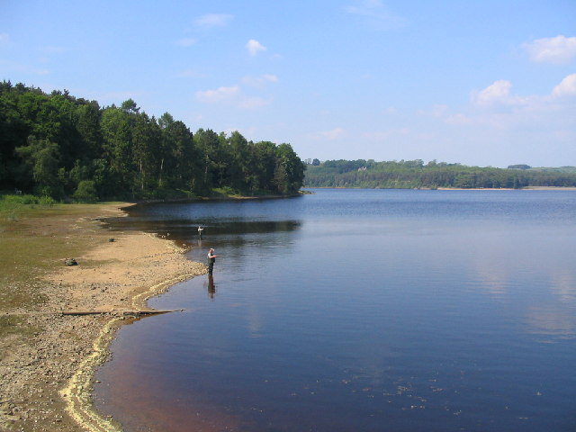
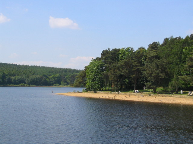
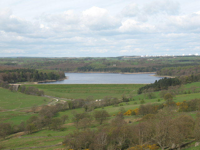
Swinsty Reservoir
Swinsty Reservoir is a reservoir in the Washburn valley north of Otley and west of Harrogate in Yorkshire, England. Construction began in 1871 and was...

Norwood, North Yorkshire
Norwood is a civil parish in the Harrogate district of North Yorkshire, England. Several areas of Norwood are significantly affluent, with a large number...

Timble
Timble is a village in the Harrogate district of North Yorkshire, England. It is situated on the slopes of the Washburn valley, north of Otley and close...

Fewston
Fewston is a village and civil parish in the Harrogate district of North Yorkshire, England. It is situated north of Otley and close to Swinsty and Fewston...
Nearby Amenities
Located within 500m of 53.970374,-1.6956708Have you been to Renton Wood?
Leave your review of Renton Wood below (or comments, questions and feedback).