Belmot Green

Wood, Forest in Staffordshire East Staffordshire

England

Belmot Green

Belmot Road at Larkhill Saddlery
Belmot Road at Larkhill Saddlery Credit: Colin Pyle

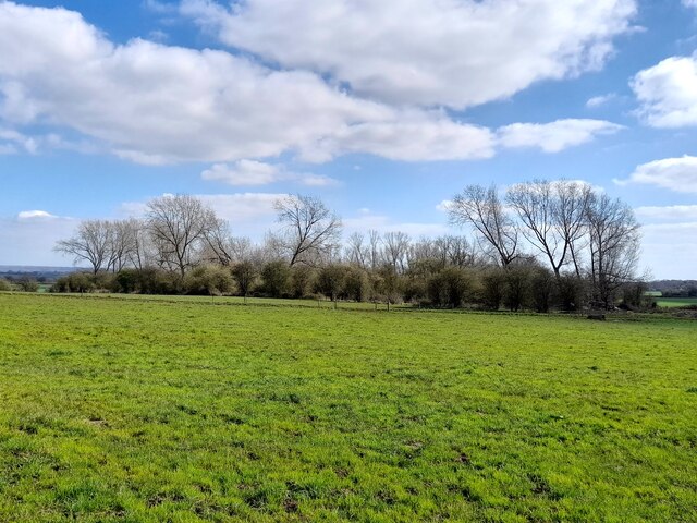
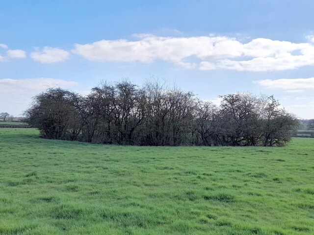
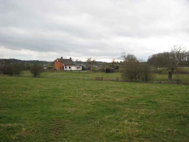
Belmot Green is a small picturesque village located in the county of Staffordshire, England. Nestled amidst lush woodlands and dense forests, it offers a tranquil and idyllic setting for residents and visitors alike. The village is situated in the heart of the Staffordshire Moorlands, surrounded by stunning natural beauty and breathtaking landscapes.

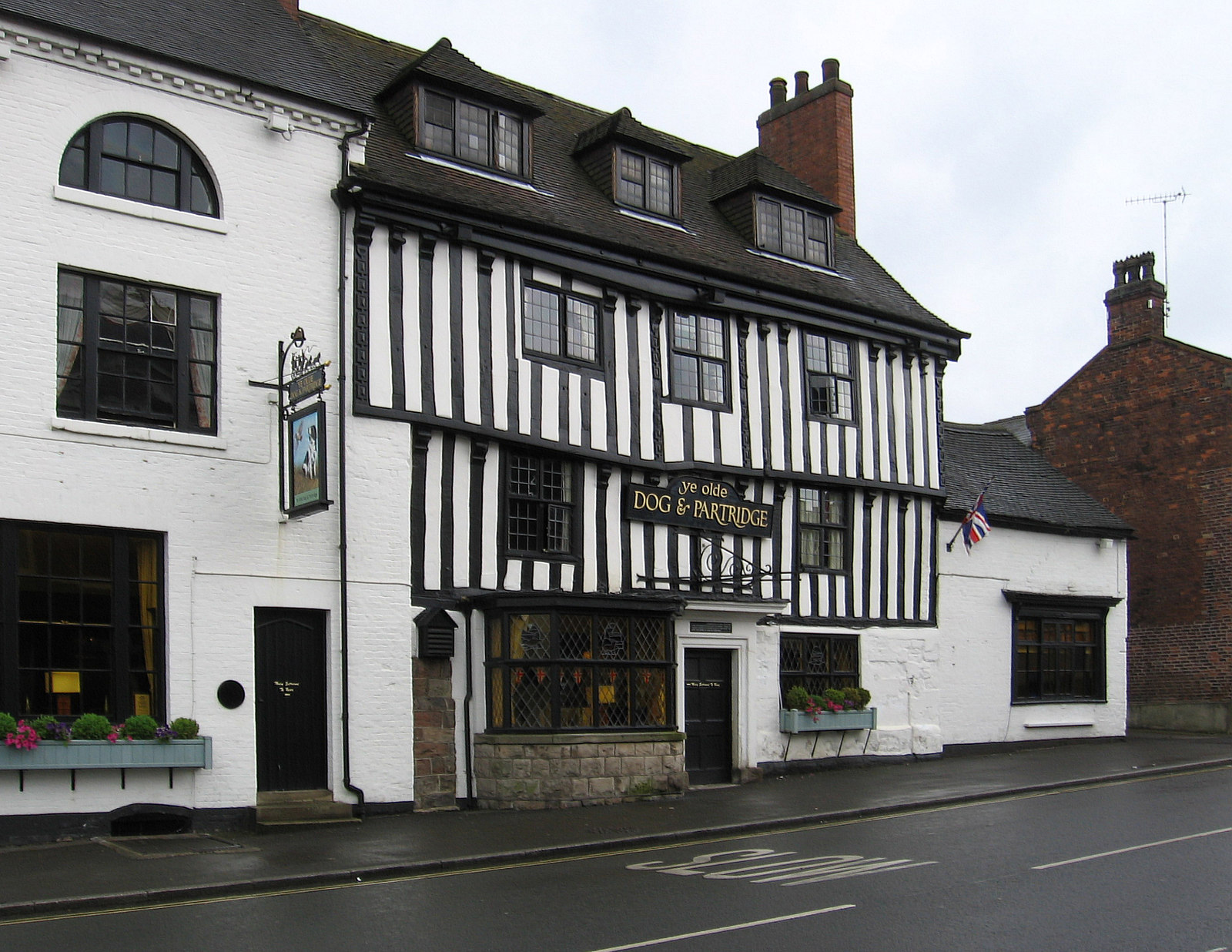
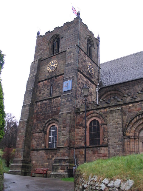
With a population of around 500, Belmot Green maintains a close-knit community atmosphere. The village is characterized by its charming cottages, many of which date back several centuries, showcasing the area's rich history. The local architecture is predominantly traditional, featuring timber-framed structures and thatched roofs.

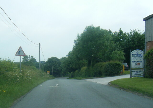
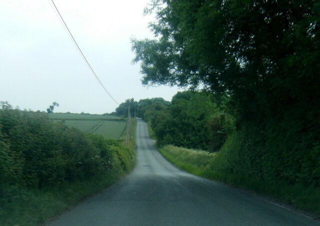
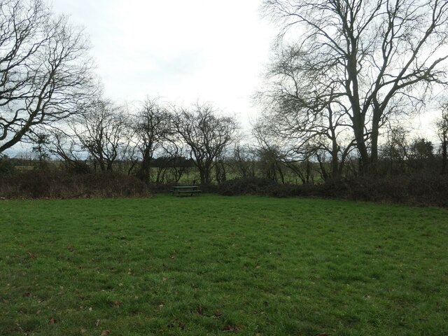
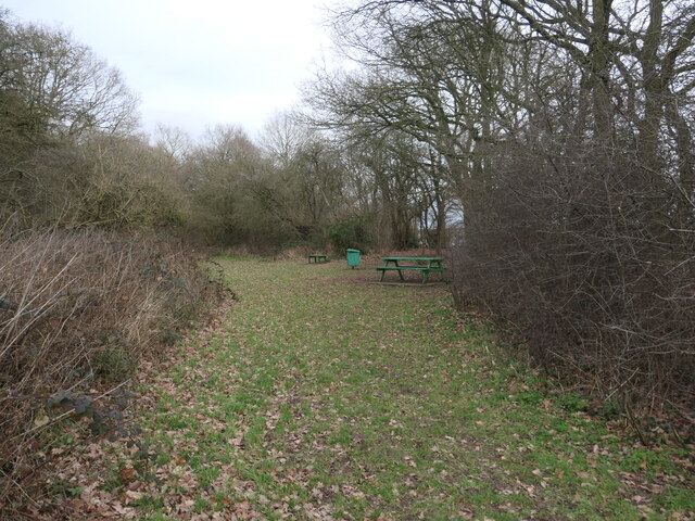
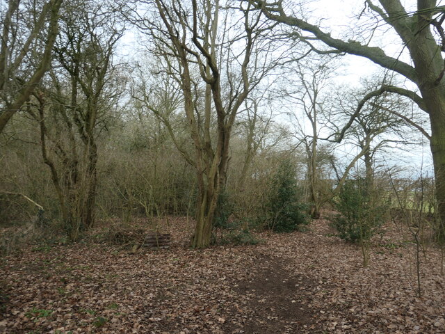
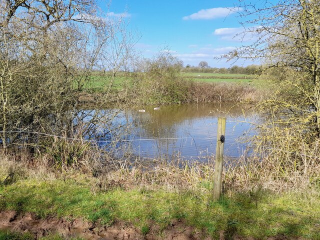
The woodlands surrounding Belmot Green provide ample opportunities for outdoor activities and exploration. There are various walking trails and cycling routes that allow visitors to immerse themselves in the natural splendor of the area. Wildlife enthusiasts will also be delighted by the diverse range of flora and fauna found in the woodlands, including deer, badgers, and a variety of bird species.

Despite its rural setting, Belmot Green is well-connected to neighboring towns and cities. The village is located just a short drive away from the market town of Leek, which offers a range of amenities, including shops, cafes, and restaurants. The nearby Peak District National Park is also easily accessible, providing further opportunities for outdoor adventure.

In summary, Belmot Green in Staffordshire is a charming village nestled in a woodland and forested area. Its natural beauty, rich history, and close-knit community make it an attractive destination for those seeking peace and tranquility amidst stunning surroundings.

If you have any feedback on the listing, please let us know in the comments section below.

Belmot Green Images

Images are sourced within 2km of 52.837042/-1.7038978 or Grid Reference SK2026. Thanks to Geograph Open Source API. All images are credited.

Belmot Road at Larkhill Saddlery
Belmot Road near Belmot Green
Picnic bench, Belmot Green Open access land managed by Staffordshire County Council. All the maps back to the 1880s call it Belmot Green, but the entry sign says Belmot Common. Perhaps it is common land?
Picnic bench, Belmot Green
Open access land managed by Staffordshire County Council. All the maps back to the 1880s call it Belmot Green, but the entry sign says Belmot Common. Perhaps it is common land?
Picnic area, Belmot Green Open access land managed by Staffordshire County Council. All the maps back to the 1880s call it Belmot Green, but the entry sign says Belmot Common. Perhaps it is common land?
Picnic area, Belmot Green
Open access land managed by Staffordshire County Council. All the maps back to the 1880s call it Belmot Green, but the entry sign says Belmot Common. Perhaps it is common land?
Woodland path, Belmot Green Open access land managed by Staffordshire County Council. All the maps back to the 1880s call it Belmot Green, but the entry sign says Belmot Common. Perhaps it is common land?
Woodland path, Belmot Green
Open access land managed by Staffordshire County Council. All the maps back to the 1880s call it Belmot Green, but the entry sign says Belmot Common. Perhaps it is common land?
Geese in a pond behind an electric fence Many of the footpaths in this area are hemmed in by electric fences, which give a nasty jolt, if touched.
Geese in a pond behind an electric fence
Many of the footpaths in this area are hemmed in by electric fences, which give a nasty jolt, if touched.
Hare Holes Rough
Hare Holes Rough
Overgrown pond
Overgrown pond
Memorial to those who were killed by the Fauld Explosion
Footpath to Farm A footpath runs across these fields to Lower Castle Hayes Farm in the next square east.
Footpath to Farm
A footpath runs across these fields to Lower Castle Hayes Farm in the next square east.
Footpath and Big Tree This footpath runs to the aptly named Needwood Forest.
Footpath and Big Tree
This footpath runs to the aptly named Needwood Forest.
Sheep and Ducks Both the sheep and the ducks are taking a drink from the pond on the left.  The gate gives access to one of those bridleways that stop halfway across a field and continue as a footpath.  No problem carrying a bike, but a horse?
Sheep and Ducks
Both the sheep and the ducks are taking a drink from the pond on the left. The gate gives access to one of those bridleways that stop halfway across a field and continue as a footpath. No problem carrying a bike, but a horse?
Holy Trinity Church This small church in Anslow is dedicated to The Holy Trinity.
Holy Trinity Church
This small church in Anslow is dedicated to The Holy Trinity.
Blackbrook Farm On the road from Hanbury to Anslow. It looks like a long time since anyone on this "farm" got their hands dirty tilling the soil.
Blackbrook Farm
On the road from Hanbury to Anslow. It looks like a long time since anyone on this "farm" got their hands dirty tilling the soil.
Farm under demolition On the Hanbury to Anslow road
Farm under demolition
On the Hanbury to Anslow road
Belmot Gate Uncertain as to the correct way to spell this. The golf range next door calls itself Belmont.
Belmot Gate
Uncertain as to the correct way to spell this. The golf range next door calls itself Belmont.
Castle Hayes Park Farm
Hare Holes Farm Looking towards the farm from the public footpath from Castle Hayes Park Farm.
Hare Holes Farm
Looking towards the farm from the public footpath from Castle Hayes Park Farm.
Show me another place!

Belmot Green is located at Grid Ref: SK2026 (Lat: 52.837042, Lng: -1.7038978)

Administrative County: Staffordshire

District: East Staffordshire

Police Authority: Staffordshire

What 3 Words

///bench.printout.procures. Near Burton upon Trent, Staffordshire

Related Wikis

Nearby Amenities

Located within 500m of 52.837042,-1.7038978
Parking
Lat/Long: 52.8361295/-1.7063264
Barrier: stile
Lat/Long: 52.8403722/-1.7042122
Barrier: stile
Lat/Long: 52.8401584/-1.7044804
The data included in this document is from www.openstreetmap.org. The data is made available under ODbL.

Have you been to Belmot Green?

Leave your review of Belmot Green below (or comments, questions and feedback).