Lower Allensworth Wood
Wood, Forest in Hampshire New Forest
England
Lower Allensworth Wood
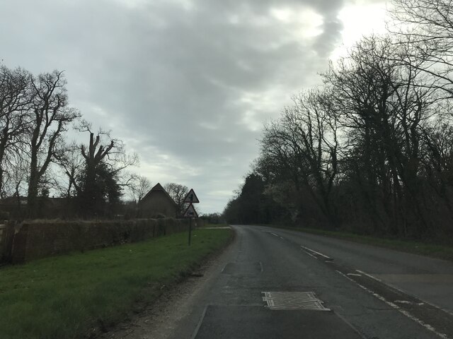
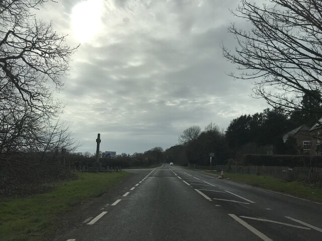
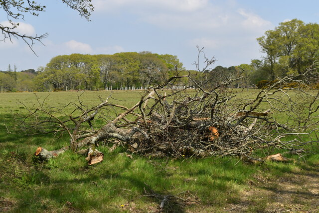
Lower Allensworth Wood is a picturesque forest located in Hampshire, England. Spanning an area of approximately 50 acres, it is known for its dense woodland and diverse flora and fauna. The wood is situated in the beautiful countryside, surrounded by rolling hills, making it a popular destination for nature enthusiasts and hikers alike.
The woodland is predominantly composed of deciduous trees, including oak, beech, and birch, which create a vibrant and colorful landscape during autumn. The forest floor is covered in a lush carpet of moss, ferns, and wildflowers, providing a habitat for a variety of small mammals, insects, and birds.
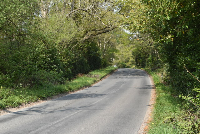
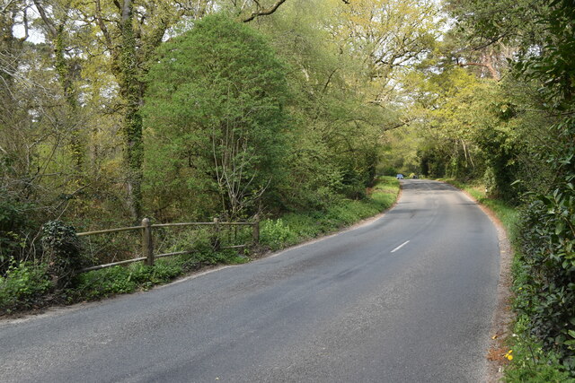
Lower Allensworth Wood is crisscrossed by a network of well-maintained trails, allowing visitors to explore the area on foot or by bicycle. The paths wind through the forest, providing stunning views of the surrounding countryside and opportunities to spot wildlife such as deer, foxes, and various bird species.
The wood is managed by a local conservation organization, ensuring the preservation of its natural beauty and biodiversity. Visitors are encouraged to follow designated paths and adhere to the principles of leave-no-trace to minimize their impact on the delicate ecosystem.
Throughout the year, the wood hosts a range of educational and recreational activities, including guided nature walks and forest school programs. These initiatives provide valuable insights into the importance of woodland conservation and promote a deeper understanding and appreciation for the natural world.
Lower Allensworth Wood offers a tranquil retreat from the bustling city life, providing a serene and enchanting environment for visitors to reconnect with nature and immerse themselves in the beauty of the Hampshire countryside.
If you have any feedback on the listing, please let us know in the comments section below.
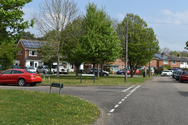
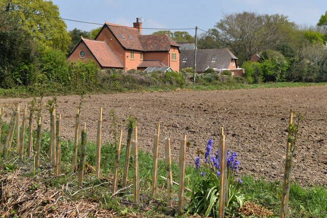
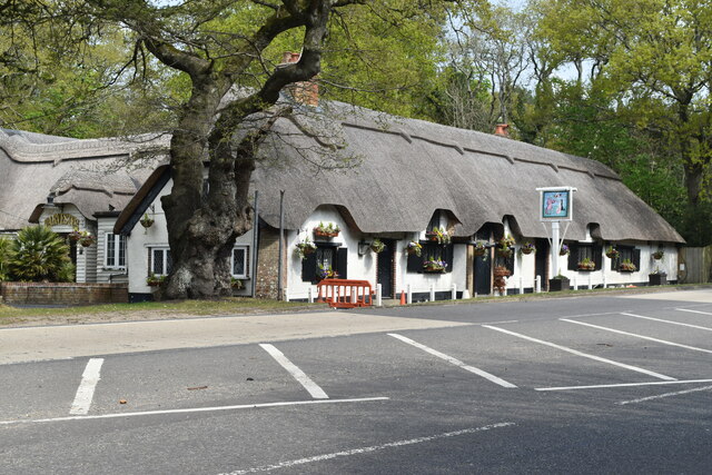
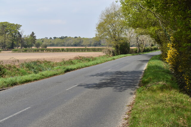
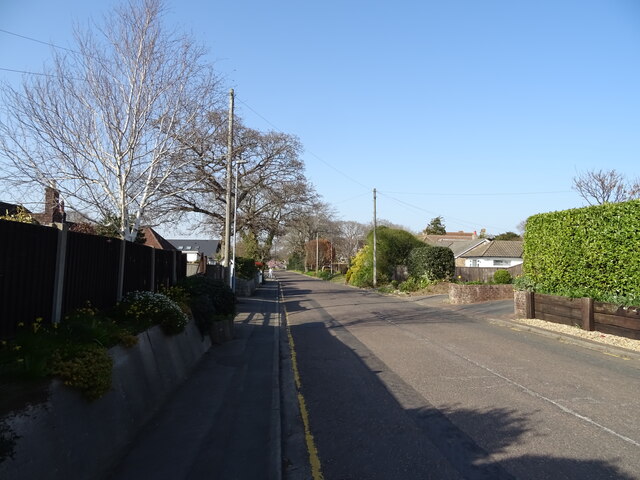
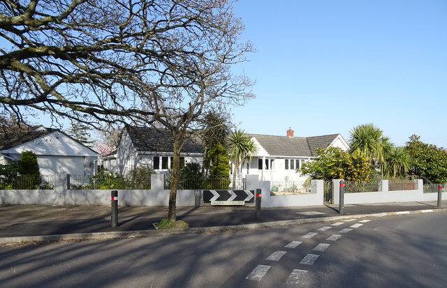
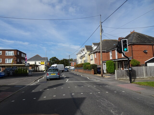
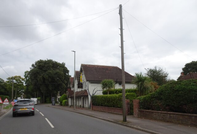
Lower Allensworth Wood Images
Images are sourced within 2km of 50.758069/-1.717652 or Grid Reference SZ2095. Thanks to Geograph Open Source API. All images are credited.


Lower Allensworth Wood is located at Grid Ref: SZ2095 (Lat: 50.758069, Lng: -1.717652)
Administrative County: Hampshire
District: New Forest
Police Authority: Hampshire
What 3 Words
///gift.compliant.food. Near Bransgore, Hampshire
Nearby Locations
Related Wikis

Hinton Admiral railway station
Hinton Admiral railway station is a station serving the villages of Bransgore and Hinton and the seaside town of Highcliffe on the Hampshire/Dorset border...

Hinton Admiral
Hinton Admiral is the estate and ancestral home of the Tapps-Gervis-Meyrick family and located in the settlement of Hinton, near Bransgore in Hampshire...

Burton Common
Burton Common is a 32.1-hectare (79-acre) biological Site of Special Scientific Interest south of Bransgore in Hampshire.This dry heath has over-mature...
Hinton, Hampshire
Hinton is a dispersed settlement in the civil parish of Bransgore, in the English county of Hampshire. Hinton is centred on the main A35 road northeast...

Highcliffe School
Highcliffe School is a co-educational secondary school and sixth form located in Highcliffe-on-Sea (near Christchurch) in the English county of Dorset...

East Close House
East Close House in Hinton, Hampshire, near Christchurch, Dorset, is a building of historical significance and a grade II listed building on the English...

Beckley, Hampshire
Beckley is a hamlet in Hampshire, England. It lies in the civil parish of Bransgore. Beckley is mentioned in the Domesday Book of 1086, when it was held...

Highcliffe Castle
Highcliffe Castle, situated on the cliffs at Highcliffe, Dorset, was built between 1831 and 1835 by Charles Stuart, 1st Baron Stuart de Rothesay in a Romantic...
Nearby Amenities
Located within 500m of 50.758069,-1.717652Have you been to Lower Allensworth Wood?
Leave your review of Lower Allensworth Wood below (or comments, questions and feedback).