Comb Hill Plantation
Wood, Forest in Gloucestershire Cotswold
England
Comb Hill Plantation
Comb Hill Plantation is a sprawling woodland located in the county of Gloucestershire, England. Situated on the outskirts of the charming village of Wood, this plantation covers an area of approximately 200 acres and is a significant part of the local landscape.
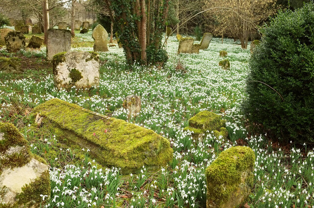
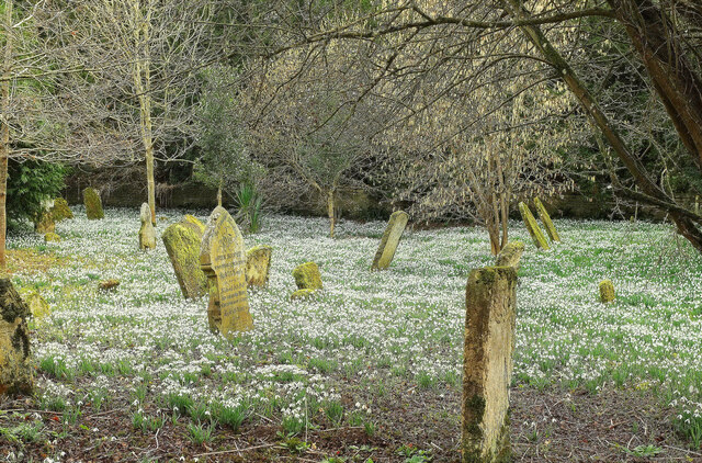
The plantation is predominantly composed of a diverse array of trees, including oak, beech, and pine. These trees provide a rich habitat for numerous species of flora and fauna, making it an ideal location for nature enthusiasts and wildlife lovers. The woodland is home to various bird species, such as woodpeckers and owls, as well as small mammals like squirrels and foxes.
The plantation offers a network of well-maintained walking trails, allowing visitors to explore the natural beauty of the area. These trails wind through the dense woodland, offering breathtaking views of the surrounding countryside and providing a peaceful and serene escape from the hustle and bustle of daily life.
Comb Hill Plantation holds historical significance as well. It is believed to have been established in the early 19th century and has since been carefully managed and maintained by local authorities. The plantation has played a vital role in the local timber industry, providing a sustainable source of wood for various purposes.
Overall, Comb Hill Plantation is a picturesque woodland retreat that offers a tranquil and immersive experience of nature. With its diverse ecosystem, well-maintained trails, and historical importance, it is a popular destination for locals and tourists alike, seeking solace in the beauty of Gloucestershire's countryside.
If you have any feedback on the listing, please let us know in the comments section below.
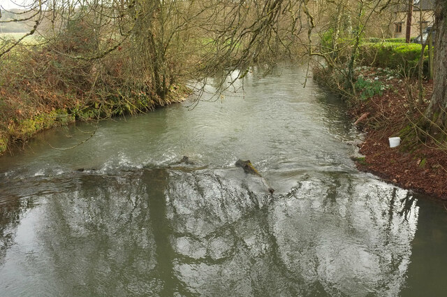
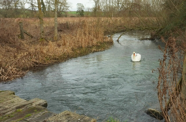
Comb Hill Plantation Images
Images are sourced within 2km of 51.829779/-1.7115441 or Grid Reference SP1914. Thanks to Geograph Open Source API. All images are credited.


Comb Hill Plantation is located at Grid Ref: SP1914 (Lat: 51.829779, Lng: -1.7115441)
Administrative County: Gloucestershire
District: Cotswold
Police Authority: Gloucestershire
What 3 Words
///safely.should.joggers. Near Burford, Oxfordshire
Nearby Locations
Related Wikis
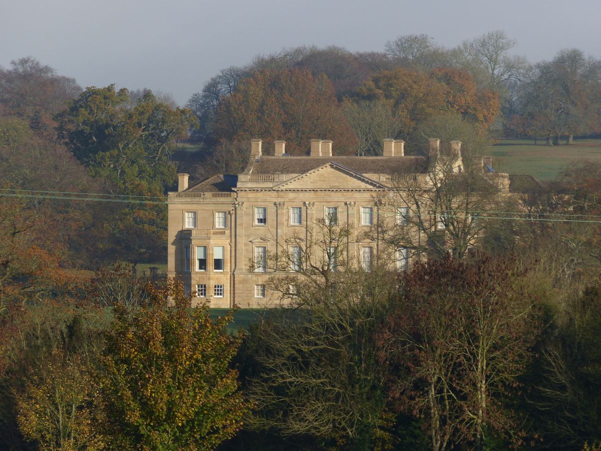
Barrington Park
Barrington Park is a Palladian style country house standing in an estate of the same name near the villages of Great Barrington and Little Barrington,...

Church of St Peter, Windrush
The Anglican Church of St Peter at Windrush in the Cotswold District of Gloucestershire, England was built in the 12th century. It is a grade I listed...

Church of St Peter, Little Barrington
The Anglican Church of St Peter at Little Barrington in the civil parish of Barrington in the Cotswold District of Gloucestershire, England was built in...

Sherborne, Gloucestershire
Sherborne is a village and civil parish almost 3.5 miles (5.6 km) east of Northleach in Gloucestershire. Sherborne is a linear village, extending more...

Great Rissington
Great Rissington is a village in the Cotswold district of Gloucestershire, England. The population taken at the 2011 census was 367. == History == In the...

Sherborne House, Gloucestershire
Sherborne House is a large house in the village of Sherborne, Gloucestershire, England. It is a former country house that has been converted into flats...

RAF Windrush
Royal Air Force Windrush, or more simply RAF Windrush, is a former Royal Air Force satellite station near Windrush, Gloucestershire, England. It was opened...

Windrush, Gloucestershire
Windrush is a village and civil parish in Gloucestershire, England, approximately five miles southeast of Northleach. It lies in the Cotswolds on the River...
Nearby Amenities
Located within 500m of 51.829779,-1.7115441Have you been to Comb Hill Plantation?
Leave your review of Comb Hill Plantation below (or comments, questions and feedback).