Caliph's Wood

Wood, Forest in Durham

England

Caliph's Wood

The appropriately named Standalone Farm, above Esh Winning
The appropriately named Standalone Farm, above Esh Winning Credit: Oliver Dixon

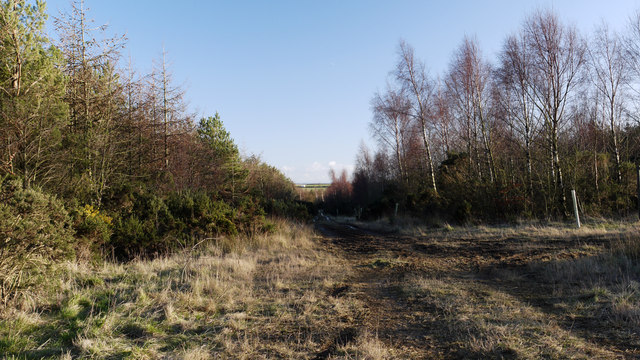
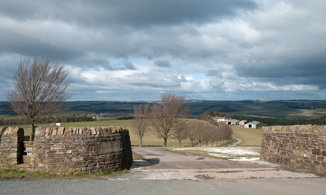
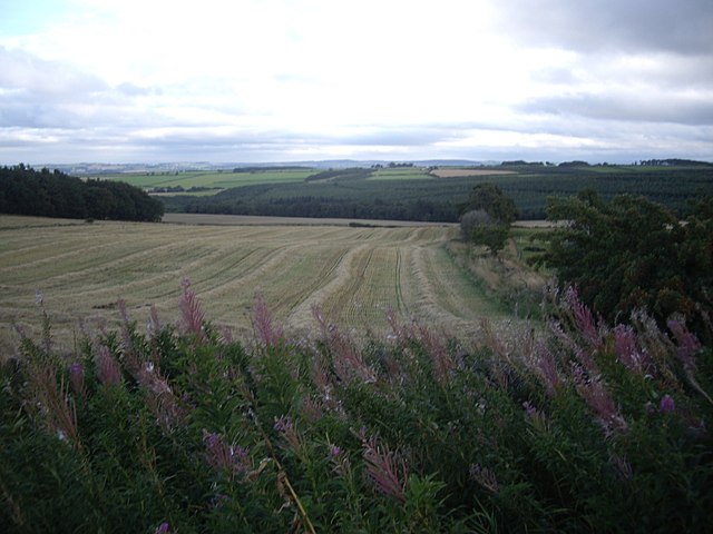
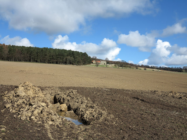
Caliph's Wood, located in Durham, is a picturesque woodland area that offers visitors a tranquil escape from the bustling city life. Covering an expansive area, the wood is home to a diverse range of flora and fauna, making it a haven for nature lovers and wildlife enthusiasts.

The wood features a variety of tree species, including oak, beech, and birch, which create a dense canopy overhead, providing shade and shelter for the woodland creatures. The forest floor is adorned with a carpet of vibrant wildflowers and ferns, adding to the natural beauty of the surroundings.

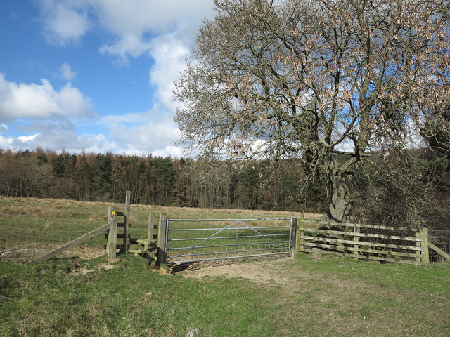
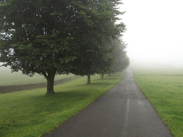
Visitors can explore the wood through a network of well-maintained walking trails, allowing them to immerse themselves in the peaceful ambiance. The trails wind their way through the forest, offering glimpses of enchanting wildlife, such as deer, squirrels, and a wide array of bird species. Nature enthusiasts can spot woodpeckers, owls, and even the occasional red kite soaring above the treetops.

Caliph's Wood also boasts a small pond, attracting various water-loving creatures, including frogs, newts, and dragonflies. This serene spot provides an excellent opportunity for visitors to relax and enjoy the gentle sounds of nature.

With its natural beauty, diverse wildlife, and peaceful atmosphere, Caliph's Wood is a popular destination for both locals and tourists alike. Whether one seeks a tranquil stroll, a chance to observe wildlife, or simply a break from the fast-paced urban life, this woodland sanctuary offers an idyllic escape to reconnect with nature.

If you have any feedback on the listing, please let us know in the comments section below.

Caliph's Wood Images

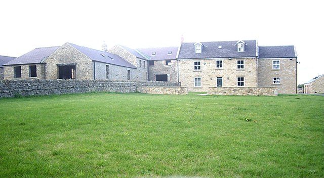
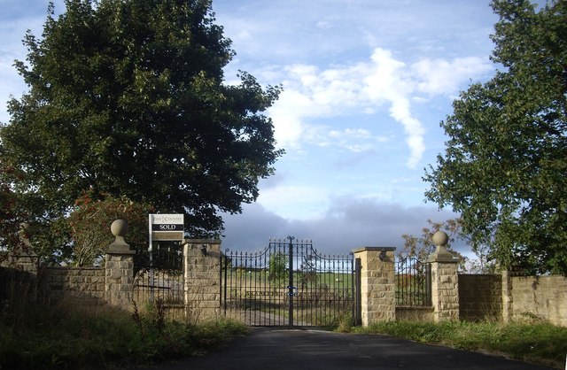
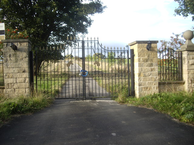
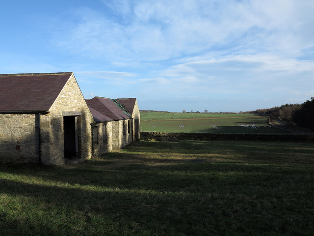
Images are sourced within 2km of 54.746426/-1.69307 or Grid Reference NZ1939. Thanks to Geograph Open Source API. All images are credited.

The appropriately named Standalone Farm, above Esh Winning
St Paul's Church, Waterhouses
Stockley Lane west of Oakenshaw Farm
Track in woodland east of Stanley Crook A junction of public footpaths lies at the north end of a triangular meeting of forestry roads in this woodland. The view is to the south-east along the north-eastern side of that triangle.
Track in woodland east of Stanley Crook
A junction of public footpaths lies at the north end of a triangular meeting of forestry roads in this woodland. The view is to the south-east along the north-eastern side of that triangle.
Access road for Standalone Standalone is a farm which lies on a slope descending to the valley of the River Deerness. There's a stile over the wall at the left side of the image which allows walkers to avoid the crossing of cattle a grid; a finger post which is not in quite in view informs that the route is a public byway.
Access road for Standalone
Standalone is a farm which lies on a slope descending to the valley of the River Deerness. There's a stile over the wall at the left side of the image which allows walkers to avoid the crossing of cattle a grid; a finger post which is not in quite in view informs that the route is a public byway.
View south from a minor road on Wooley Hill Looking down on Birks Wood in the upper valley of Stockley Beck.
View south from a minor road on Wooley Hill
Looking down on Birks Wood in the upper valley of Stockley Beck.
Access to Baal Hill farmhouse From a minor road - Sandy Lonnen (ie Sandy Lane).
Access to Baal Hill farmhouse
From a minor road - Sandy Lonnen (ie Sandy Lane).
Baal Hill A renovated farmhouse on Sandy Lonnen.
Baal Hill
A renovated farmhouse on Sandy Lonnen.
Gated access to Brandon Lane From Sandy Lonnen, opposite Weather Hill Wood.
Gated access to Brandon Lane
From Sandy Lonnen, opposite Weather Hill Wood.
Locked wrought-iron gates off Sandy Lonnen Bearing the name Brancepeth Manor Farm; formerly this had been mapped as West Brandon Farm.
Locked wrought-iron gates off Sandy Lonnen
Bearing the name Brancepeth Manor Farm; formerly this had been mapped as West Brandon Farm.
Buildings and fields at Baal Hill The buildings at Baal Hill are in a curious state. The farmhouse itself which is hidden from view in the image has been fully renovated. The farm out-buildings also appear to have undergone partial renovation and even conversion but there are no doors or windows in place. The roofs appear to have been renewed with membranes beneath new slates but there seems to have been metal theft from them. As can be seen at the farthest building the gutters between adjacent roof slopes have had slates ripped away, doubtless to remove the lead that would have been placed there.
Buildings and fields at Baal Hill
The buildings at Baal Hill are in a curious state. The farmhouse itself which is hidden from view in the image has been fully renovated. The farm out-buildings also appear to have undergone partial renovation and even conversion but there are no doors or windows in place. The roofs appear to have been renewed with membranes beneath new slates but there seems to have been metal theft from them. As can be seen at the farthest building the gutters between adjacent roof slopes have had slates ripped away, doubtless to remove the lead that would have been placed there.
Earthen field below Weather Hill House The upper, paler part of the field is sown with a crop yet to emerge; the darker, nearer part is apparently wetter and it appears that ditching work for drainage has been attempted. A public footpath descends the field from the house; there's no route visible on the ground.
Earthen field below Weather Hill House
The upper, paler part of the field is sown with a crop yet to emerge; the darker, nearer part is apparently wetter and it appears that ditching work for drainage has been attempted. A public footpath descends the field from the house; there's no route visible on the ground.
Route of footpath between fields The footpath line crosses the stile then descends to cross Stockley Beck in the valley below.
Route of footpath between fields
The footpath line crosses the stile then descends to cross Stockley Beck in the valley below.
Gathering ground of Holburn Beck Snow covers the hollow of the catchment area of Holburn Beck, south-east of the farm at Standalone.
Gathering ground of Holburn Beck
Snow covers the hollow of the catchment area of Holburn Beck, south-east of the farm at Standalone.
Corrugated barn beyond dry stone wall The barn is in a field, against a wall bounding the west side of Pithouse plantation.
Corrugated barn beyond dry stone wall
The barn is in a field, against a wall bounding the west side of Pithouse plantation.
Misty tree lined road to Standalone Farm
Entrance to Standalone Farm
Wall on Brandon Hill A fine view is available from here......
Wall on Brandon Hill
A fine view is available from here......
Show me another place!

Caliph's Wood is located at Grid Ref: NZ1939 (Lat: 54.746426, Lng: -1.69307)

Unitary Authority: County Durham

Police Authority: Durham

What 3 Words

///domestic.fence.nicknames. Near Willington, Co. Durham

Nearby Locations

Caliph's Wood

Related Wikis

Waterhouses, County Durham

Waterhouses is a village in County Durham, in England. It is situated to the west of Durham, near Esh Winning, on the northern Bank of the River Deerness...

Brancepeth railway station

Brancepeth railway station served the village of Brancepeth, County Durham, North East England from 1857 to 1964 on the Durham to Bishop Auckland Line...

Oakenshaw, County Durham

Oakenshaw is a village in County Durham, in England. It is situated to the north of Willington. In the 2001 census Oakenshaw had a population of 470.The...

Esh Winning F.C.

Esh Winning Football Club is a football club based in Esh Winning, near Durham, in County Durham, England. They are currently members of the Northern League...

Nearby Amenities

Located within 500m of 54.746426,-1.69307
Bench
The Seat of Viewing
Material: wood
Lat/Long: 54.7458709/-1.690582
The data included in this document is from www.openstreetmap.org. The data is made available under ODbL.

Have you been to Caliph's Wood?

Leave your review of Caliph's Wood below (or comments, questions and feedback).