Bradley Wood

Wood, Forest in Derbyshire Derbyshire Dales

England

Bradley Wood

A517 near New House Farm
A517 near New House Farm Credit: Colin Pyle

Bradley Wood is a small village located in the county of Derbyshire, England. Situated in the heart of the Peak District National Park, it is surrounded by picturesque landscapes of rolling hills, lush green fields, and dense woodlands.

The village itself is characterized by its quaint charm and rural atmosphere. It consists of a small cluster of traditional stone houses and cottages, with a population of around 200 residents. The community in Bradley Wood is tight-knit, with a friendly and welcoming atmosphere.

The village is renowned for its beautiful forest, which covers a significant portion of its landscape. The Bradley Wood Forest is home to a diverse range of flora and fauna, including ancient oak trees, wildflowers, and various species of birds and mammals. It offers an idyllic setting for nature lovers, hikers, and outdoor enthusiasts, with numerous trails and paths winding through the woodland.

In addition to its natural beauty, Bradley Wood also boasts several attractions and amenities for visitors and locals alike. The village is home to a charming country pub, where visitors can enjoy traditional pub food and local ales. There is also a small village shop that provides essentials and local produce.

Bradley Wood is well-positioned for exploring the wider Peak District region, with popular tourist destinations such as Bakewell and Chatsworth House just a short drive away. The village provides a peaceful and scenic retreat for those seeking a break from the hustle and bustle of city life, offering a true taste of rural England.

If you have any feedback on the listing, please let us know in the comments section below.
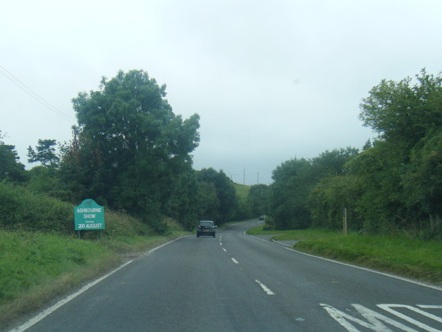
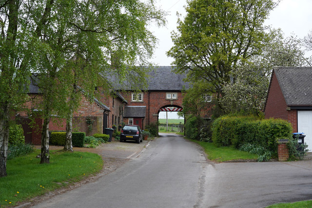
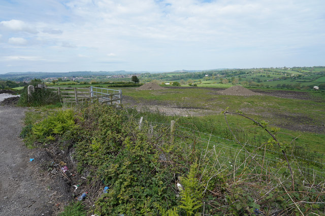
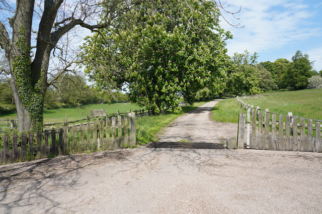
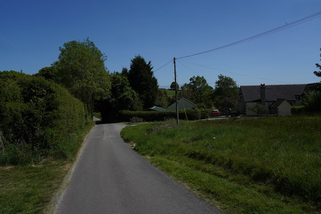
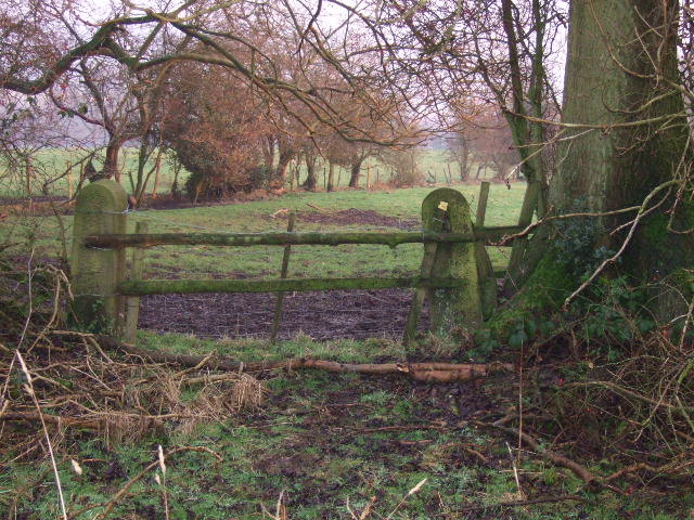
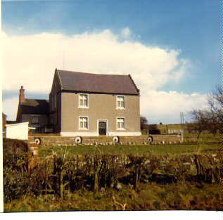
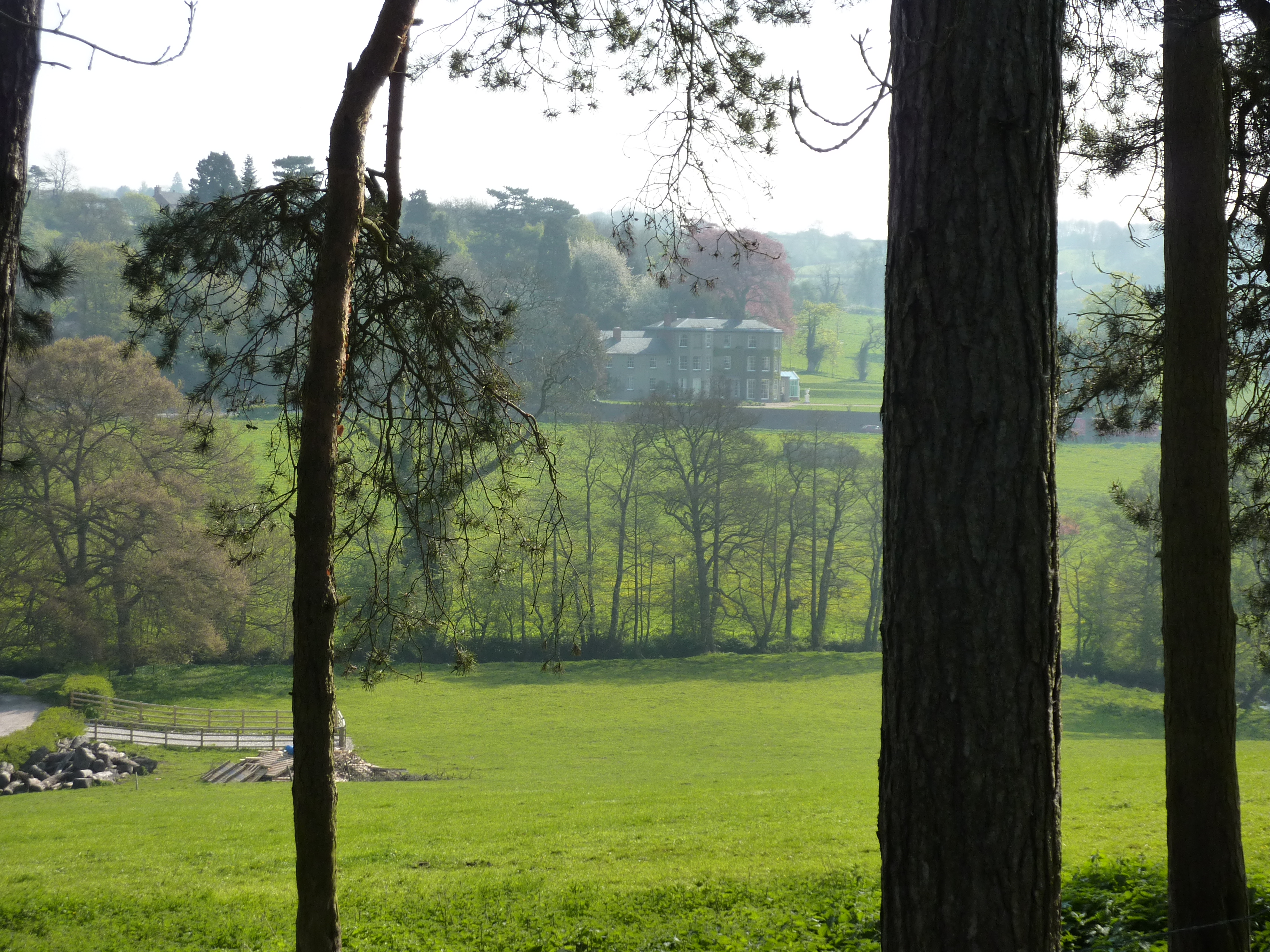
Bradley Wood Images

Images are sourced within 2km of 53.011908/-1.7066681 or Grid Reference SK1946. Thanks to Geograph Open Source API. All images are credited.

A517 near New House Farm
Hole in the Wall The minor road goes through a building at the quaintly named "Hole in the Wall". There are many warning signs about a low arch as you approach the gap.
Hole in the Wall
The minor road goes through a building at the quaintly named "Hole in the Wall". There are many warning signs about a low arch as you approach the gap.
Piles of spoil in the field There are a couple of piles of spoil in the field at the top of this hill. They do give the area a somewhat unkempt look.
Piles of spoil in the field
There are a couple of piles of spoil in the field at the top of this hill. They do give the area a somewhat unkempt look.
The track to Lady Hole Lady Hole appears to be a house isolated from the nearby Lady Hole Farm.
The track to Lady Hole
Lady Hole appears to be a house isolated from the nearby Lady Hole Farm.
A very minor road This view is close to Rose Cottage Lodge and Vale Cottage.
A very minor road
This view is close to Rose Cottage Lodge and Vale Cottage.
Bradley Smithy On the A517 from Belper to Ashbourne is Bradley Smithy.  There is no longer any sign of the smithy but there are lots of white lines all over the road at this accident blackspot.
Bradley Smithy
On the A517 from Belper to Ashbourne is Bradley Smithy. There is no longer any sign of the smithy but there are lots of white lines all over the road at this accident blackspot.
Hole-in-the-Wall Aptly named since the road does indeed pass through the hole in the wall.
Hole-in-the-Wall
Aptly named since the road does indeed pass through the hole in the wall.
Yeldersley Cross Roads.
Thatched Garage These thatched houses are on Bradley Lane, Yeldersley.
Thatched Garage
These thatched houses are on Bradley Lane, Yeldersley.
Footpath to Bradley Moor.
Into the Fog. Footpath to Bradley,the freezing fog has just started lift.
Into the Fog.
Footpath to Bradley,the freezing fog has just started lift.
Sturston Hall Farm Entrance. Taken in freezing fog.
Sturston Hall Farm Entrance.
Taken in freezing fog.
Entrance to Ladyhole House.
Footpath to Oxclose
Footpath to Oxclose
Ladyhole Farm Former farmhouse now converted.
Ladyhole Farm
Former farmhouse now converted.
Ladyhole Farm Barn. Former barn now converted into housing.
Ladyhole Farm Barn.
Former barn now converted into housing.
Ashbourne Airfield Long disused runway at Ashbourne.
Ashbourne Airfield
Long disused runway at Ashbourne.
Ashbourne Road at Yeldersley
Show me another place!

Bradley Wood is located at Grid Ref: SK1946 (Lat: 53.011908, Lng: -1.7066681)

Administrative County: Derbyshire

District: Derbyshire Dales

Police Authority: Derbyshire

What 3 Words

///monitors.handy.congested. Near Ashbourne, Derbyshire

Related Wikis

Sturston, Derbyshire

Sturston is a small area of settlement in Derbyshire, England. It is located on the A517 road, 1-mile (1.6 km) east of Ashbourne. It is in the civil parish...

RAF Ashbourne

Royal Air Force Ashbourne, or more simply RAF Ashbourne, is a former Royal Air Force station located approximately 1.5 miles (2.4 km) south-east of the...

Offcote and Underwood

Offcote and Underwood is a civil parish within the Derbyshire Dales district, in the county of Derbyshire, England. Largely rural, in 2011 the parish had...

Ashbourne Hall

Ashbourne Hall is a Manor house originally built by the Cockayne family in the 13th century in Ashbourne, Derbyshire. The present building is part of a...

Ashbourne, Derbyshire

Ashbourne is a market town in the Derbyshire Dales district in Derbyshire, England. Its population was measured at 8,377 in the 2011 census and was estimated...

Ashbourne Urban District

Ashbourne was an Urban District in Derbyshire, England from 1894 to 1974. It was created under the Local Government Act 1894. It was enlarged in 1934 when...

Ashbourne Rural District

Ashbourne was a Rural District in Derbyshire, England from 1894 to 1974. It was created under the Local Government Act 1894. It was enlarged in 1934 when...

Ashbourne Town Hall

Ashbourne Town Hall is a municipal building in the Market Place, Ashbourne, Derbyshire, England. The town hall, which is the meeting place of Ashbourne...

Nearby Amenities

Located within 500m of 53.011908,-1.7066681
Design: h-frame_two-level
Material: wood
Power: pole
Source: Bing
Lat/Long: 53.01468/-1.7099777
Design: h-frame_two-level
Material: wood
Power: pole
Source: Bing
Lat/Long: 53.0149059/-1.7091892
Design: h-frame_two-level
Material: wood
Power: pole
Source: Bing
Lat/Long: 53.0153448/-1.7077408
Power: pole
Lat/Long: 53.0143411/-1.7109594
Design: h-frame_two-level
Material: wood
Power: pole
Source: Bing
Lat/Long: 53.0161936/-1.7073331
Power: pole
Lat/Long: 53.0141429/-1.7113172
Power: tower
Source: Bing
Lat/Long: 53.0151915/-1.7076008
Power: tower
Source: Bing
Lat/Long: 53.0145418/-1.7099343
Power: pole
Lat/Long: 53.0156966/-1.7047556
Power: tower
Source: Bing
Lat/Long: 53.0154352/-1.7062228
Power: tower
Source: Bing
Lat/Long: 53.0148425/-1.7088627
Power: pole
Lat/Long: 53.0141618/-1.711476
Power: pole
Lat/Long: 53.0142094/-1.7115277
Power: pole
Lat/Long: 53.0142184/-1.7053156
Power: pole
Lat/Long: 53.0140552/-1.7069152
Power: pole
Lat/Long: 53.0139838/-1.7091483
Power: pole
Lat/Long: 53.0139494/-1.7106864
Parking
Capacity: 10
Fee: no
Lat/Long: 53.0130179/-1.7076069
Power: pole
Lat/Long: 53.0130469/-1.7104849
Power: pole
Lat/Long: 53.0125693/-1.7105493
Power: pole
Lat/Long: 53.0118657/-1.7123035
Rest Area
Lat/Long: 53.0134076/-1.7112214
Generator Method: wind_turbine
Generator Source: wind
Power: generator
Lat/Long: 53.0095985/-1.7088782
The data included in this document is from www.openstreetmap.org. The data is made available under ODbL.

Have you been to Bradley Wood?

Leave your review of Bradley Wood below (or comments, questions and feedback).