Dancers Hill
Settlement in Middlesex Hertsmere
England
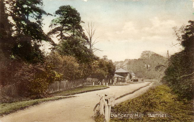
Dancers Hill

Dancers Hill is a small suburban area located in the county of Middlesex, England. Situated approximately 15 miles northwest of central London, it falls within the borough of Barnet. The area is known for its peaceful atmosphere and picturesque surroundings, making it an attractive place for both residents and visitors.
Dancers Hill is primarily a residential area, characterized by its large detached houses and spacious gardens. The properties in this area often boast stunning views of the surrounding countryside, adding to the overall charm of the neighborhood. The streets are lined with well-maintained trees and green spaces, contributing to the serene ambiance.
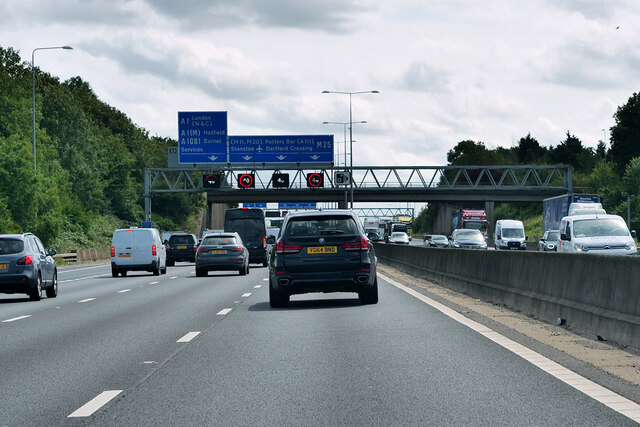
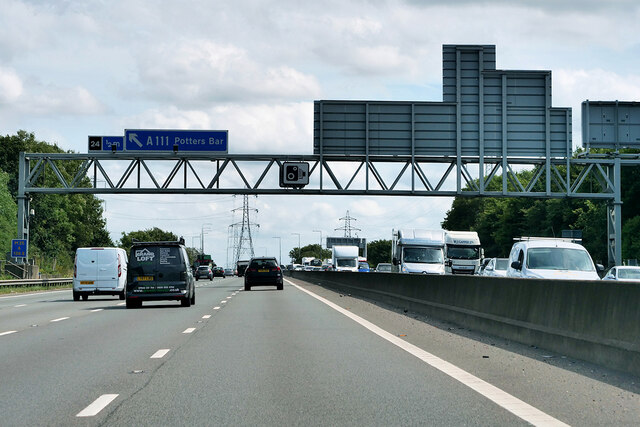
Despite its tranquil setting, Dancers Hill benefits from its proximity to various amenities and transport links. Nearby towns such as Potters Bar and Barnet offer a range of shops, restaurants, and leisure facilities, ensuring that residents have easy access to all necessary conveniences. The area also benefits from excellent transport connections, with several bus routes and train stations located within a short distance, providing access to central London and other parts of the country.
For nature enthusiasts, Dancers Hill offers plenty of opportunities for outdoor activities. The surrounding countryside is dotted with picturesque walking trails, where residents can enjoy the beauty of the landscape and indulge in peaceful strolls. The nearby Hadley Wood Golf Club provides a haven for golf enthusiasts, offering a challenging course amidst stunning scenery.
Overall, Dancers Hill in Middlesex offers a serene and idyllic setting, combining the tranquility of the countryside with the convenience of nearby amenities and transport links.
If you have any feedback on the listing, please let us know in the comments section below.
Dancers Hill Images
Images are sourced within 2km of 51.679788/-0.218007 or Grid Reference TQ2399. Thanks to Geograph Open Source API. All images are credited.


Dancers Hill is located at Grid Ref: TQ2399 (Lat: 51.679788, Lng: -0.218007)
Administrative County: Hertfordshire
District: Hertsmere
Police Authority: Hertfordshire
What 3 Words
///banks.laser.finger. Near High Barnet, London
Nearby Locations
Related Wikis

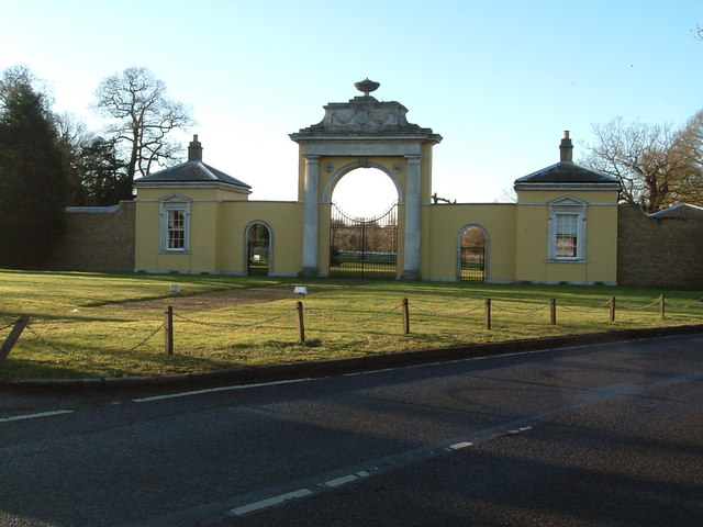
Dancers Hill House
Dancers Hill House is a Grade II listed house in Dancers Hill, Hertfordshire, England. The current house dates from c. 1750–1760, with later additions...
Dancers Hill
Dancers Hill is located in Hertfordshire, England, immediately south of the route of the M25 motorway. It was formerly in the historic county of Middlesex...
Dyrham Park Country Club
Dyrham Park Country Club is a country house, estate and golf club in Hertfordshire, England, near Dancers Hill, several miles northeast of Borehamwood...
South Mimms services
South Mimms services is a motorway service area accessible from Junction 23 of the M25 motorway which is also Junction 1 of the A1(M), in England near...
Nearby Amenities
Located within 500m of 51.679788,-0.218007Have you been to Dancers Hill?
Leave your review of Dancers Hill below (or comments, questions and feedback).