Birch Wood
Wood, Forest in Warwickshire North Warwickshire
England
Birch Wood
Birch Wood, located in Warwickshire, England, is a picturesque forest that offers a tranquil escape for nature enthusiasts. Spanning an area of approximately 100 acres, this woodland is predominantly composed of birch trees, lending it its name. The forest is characterized by its dense vegetation, with a rich undergrowth of ferns, mosses, and wildflowers, providing a diverse ecosystem for a variety of flora and fauna.
The woodland is crisscrossed by numerous walking trails, allowing visitors to explore its natural beauty at their own pace. These paths wind through the forest, offering glimpses of sunlight filtering through the trees and creating an enchanting atmosphere. The serene ambiance makes Birch Wood a popular destination for walkers, joggers, and families seeking a peaceful outing.
Wildlife enthusiasts will find plenty to admire in this woodland. The forest is home to a wide array of bird species, including woodpeckers, thrushes, and owls, making it a haven for birdwatchers. Squirrels can also be spotted darting through the trees, and lucky visitors may even catch sight of elusive deer or foxes inhabiting the area.
Birch Wood is open to the public year-round and offers a welcome respite from the hustle and bustle of everyday life. It is an ideal location for those seeking to connect with nature, enjoy a leisurely walk, or simply find solace in the peaceful surroundings. Whether visiting for a few hours or a whole day, Birch Wood promises an unforgettable experience in the heart of Warwickshire.
If you have any feedback on the listing, please let us know in the comments section below.
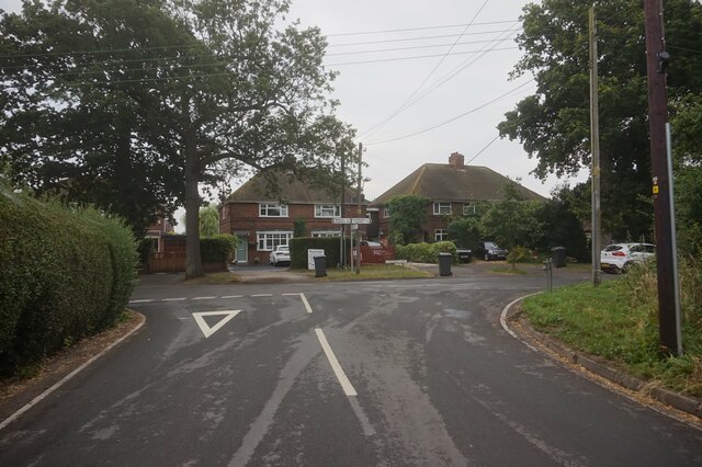
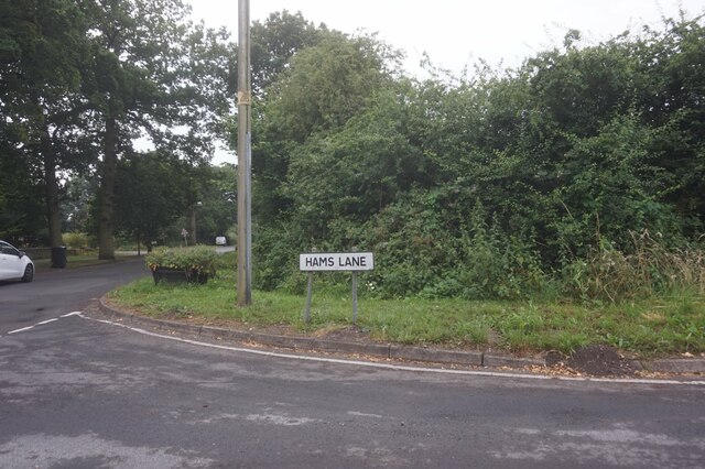
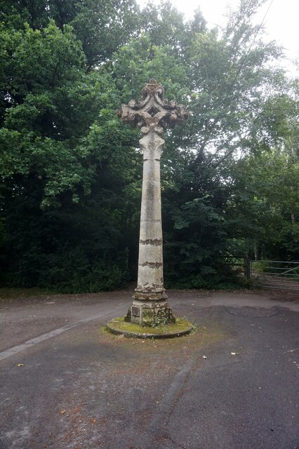
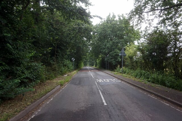
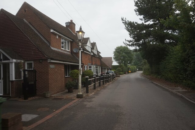
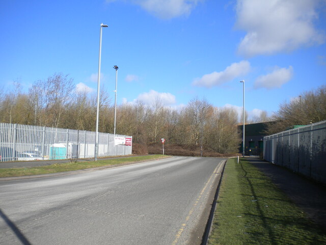
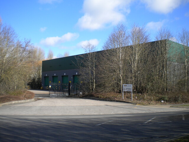
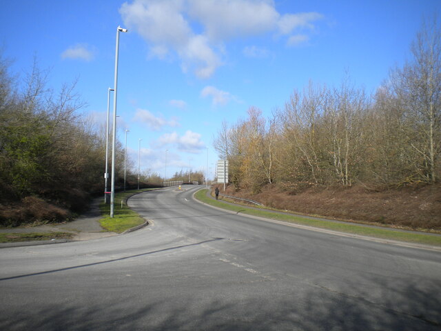
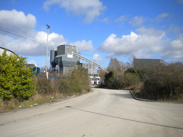
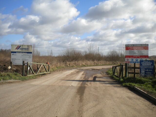
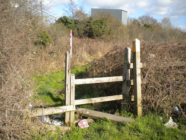
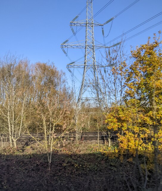
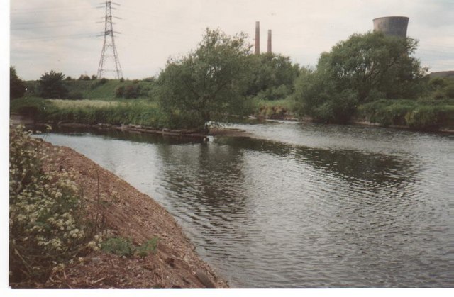
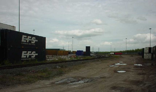
Birch Wood Images
Images are sourced within 2km of 52.530064/-1.7118612 or Grid Reference SP1992. Thanks to Geograph Open Source API. All images are credited.


Birch Wood is located at Grid Ref: SP1992 (Lat: 52.530064, Lng: -1.7118612)
Administrative County: Warwickshire
District: North Warwickshire
Police Authority: Warwickshire
What 3 Words
///holly.snack.before. Near Curdworth, Warwickshire
Nearby Locations
Related Wikis
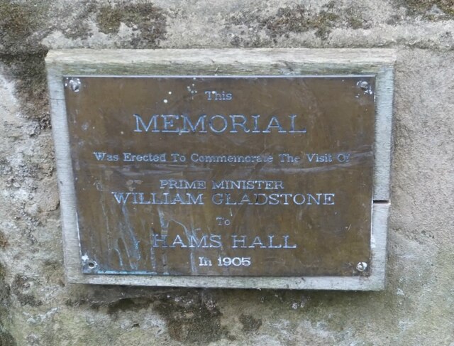
Hams Hall
Hams Hall is a place near Lea Marston in North Warwickshire, England, named after the former Hams Hall manor house. A power station at Hams Hall was constructed...

Hams Hall power stations
Hams Hall Power Station refers to a series of three, now demolished coal-fired power stations, situated in Warwickshire in the West Midlands of England...

Lea Marston
Lea Marston is a village and civil parish on the River Tame in Warwickshire, England, about 7 miles (11 km) south-west of Atherstone. Lea Marston is close...
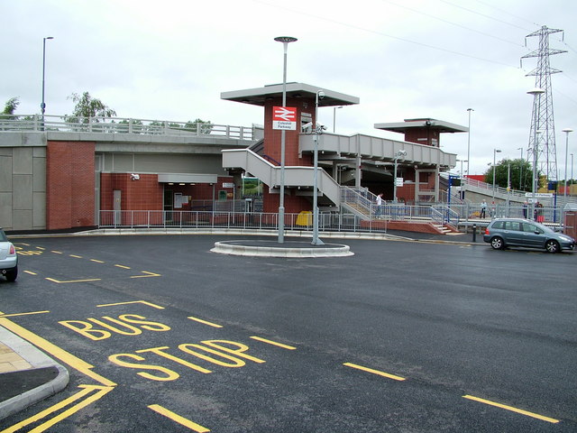
Coleshill Parkway railway station
Coleshill Parkway is a railway station at Hams Hall on the Birmingham to Peterborough railway line, serving Coleshill in Warwickshire, England. Sitting...
Curdworth
Curdworth is a village and civil parish in the North Warwickshire district of the county of Warwickshire in England. The population taken at the 2011 census...
Ladywalk Reserve
Ladywalk Reserve is a nature reserve on the River Tame, at its confluence with the River Blythe, at Hams Hall in north Warwickshire, England, owned by...
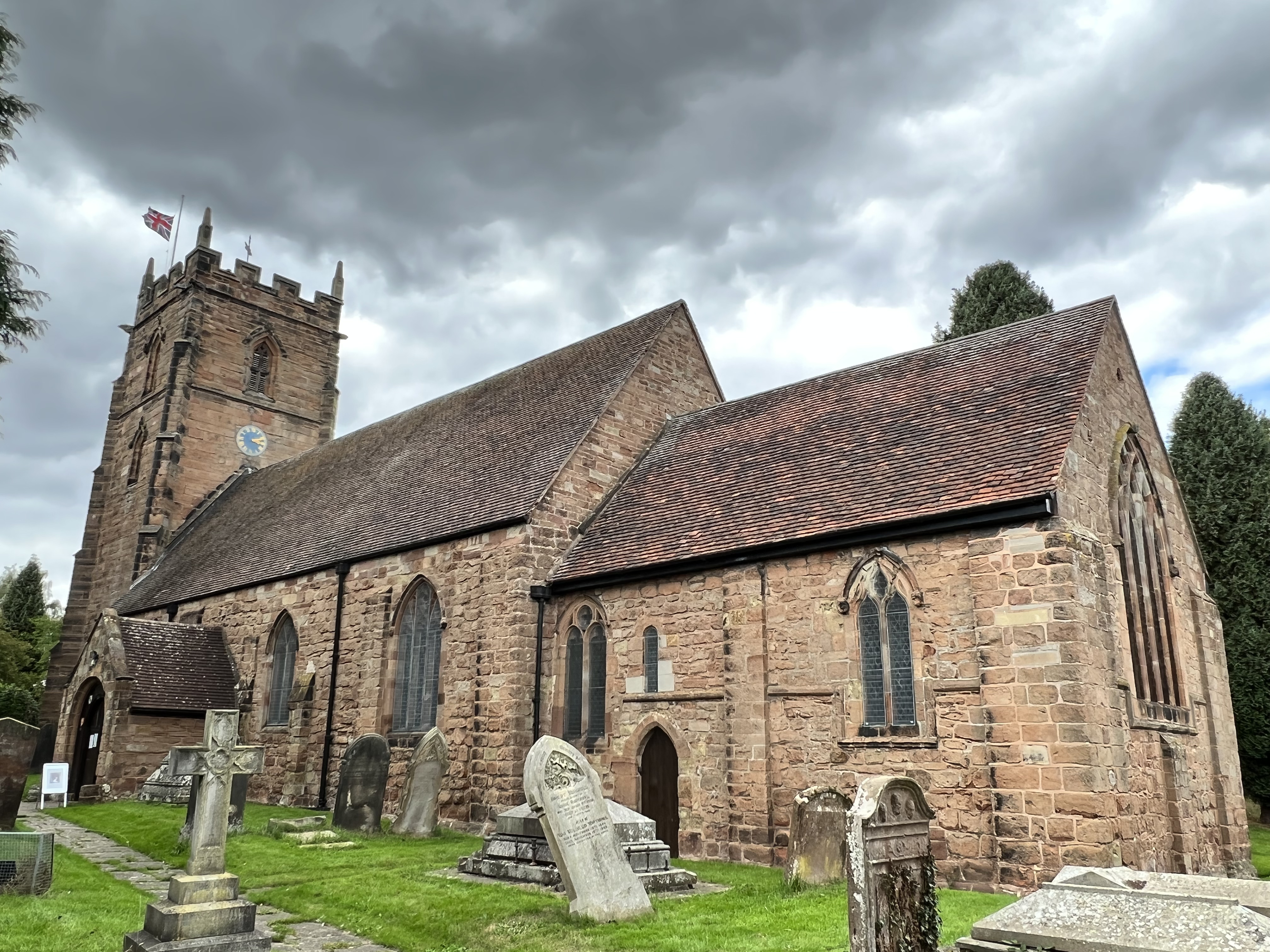
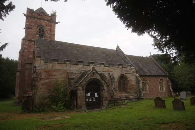
Church of St Nicholas and St Peter ad Vincula, Curdworth
St Nicholas and St Peter ad Vincula Church is located in Curdworth, Warwickshire, England. It is dedicated to St Nicholas and St Peter ad Vincula. ��2...
Marston Box Rail Bridge
Marston Box Rail Bridge is a railway bridge currently under construction in the United Kingdom. Once complete, it will carry High Speed 2 over the M42...
Nearby Amenities
Located within 500m of 52.530064,-1.7118612Have you been to Birch Wood?
Leave your review of Birch Wood below (or comments, questions and feedback).