Bog Plantation
Wood, Forest in Derbyshire Derbyshire Dales
England
Bog Plantation
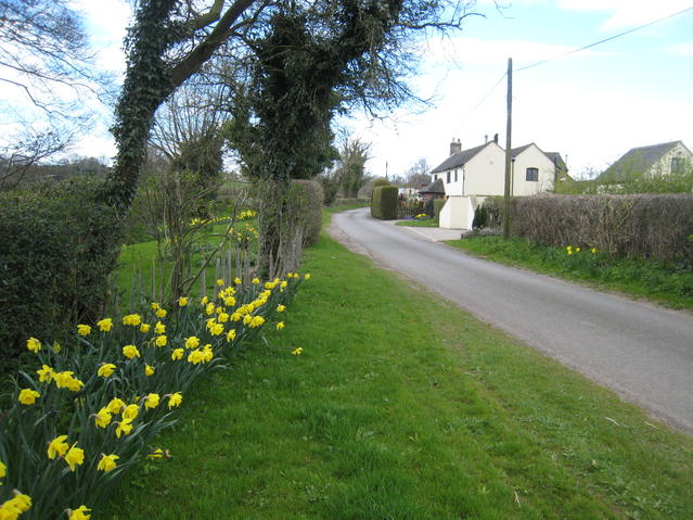
Bog Plantation is a picturesque woodland located in Derbyshire, England. Spanning over a vast area, it is known for its unique bog environment and diverse range of plant species. The plantation is situated in the heart of the Peak District National Park, offering visitors a tranquil escape into nature.
The woodland is characterized by its dense canopy of trees, predominantly consisting of birch, oak, and pine. These towering trees provide a habitat for a variety of wildlife, including birds, squirrels, and deer. The forest floor is covered with a thick layer of moss and ferns, creating a lush and verdant atmosphere.
Bog Plantation takes its name from the presence of a bog within its boundaries. This wetland area is home to a wide array of plant species that thrive in the damp conditions. Visitors can observe rare and beautiful plants such as sundews, cotton grass, and sphagnum moss. The bog also attracts a variety of insects and amphibians, making it a haven for nature enthusiasts and photographers.
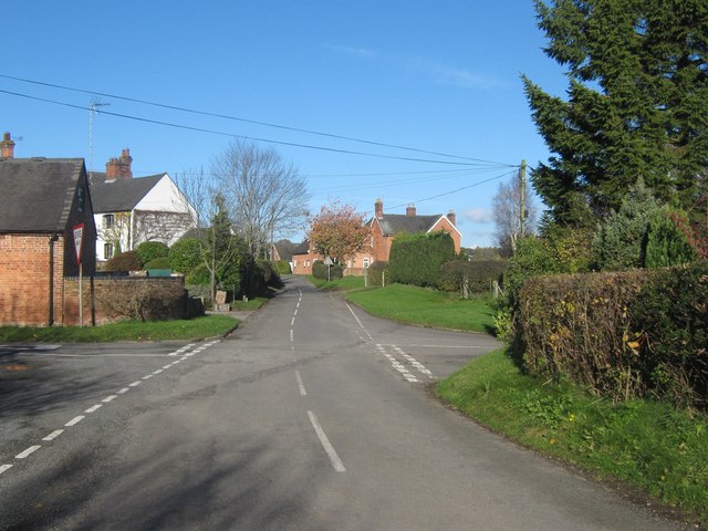
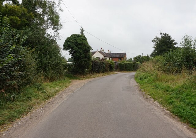
The plantation is accessible to the public through a network of well-maintained footpaths and trails. These paths lead visitors through the woodland, allowing them to explore its natural beauty at their own pace. Interpretive signs and information boards are strategically placed throughout the area, providing educational insights into the flora and fauna found within the plantation.
Bog Plantation offers a serene and captivating experience for those seeking to immerse themselves in the natural wonders of Derbyshire. Whether it's a leisurely stroll, birdwatching, or simply enjoying the tranquility of the surroundings, this woodland is a must-visit destination for nature lovers.
If you have any feedback on the listing, please let us know in the comments section below.
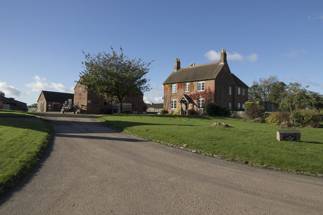
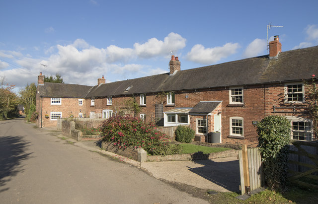
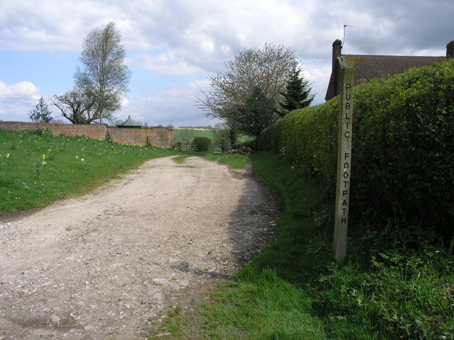
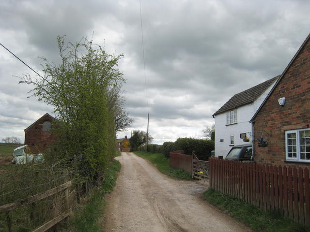
Bog Plantation Images
Images are sourced within 2km of 52.951041/-1.7096247 or Grid Reference SK1939. Thanks to Geograph Open Source API. All images are credited.


Bog Plantation is located at Grid Ref: SK1939 (Lat: 52.951041, Lng: -1.7096247)
Administrative County: Derbyshire
District: Derbyshire Dales
Police Authority: Derbyshire
What 3 Words
///firebird.regaining.code. Near Mayfield, Staffordshire
Nearby Locations
Related Wikis

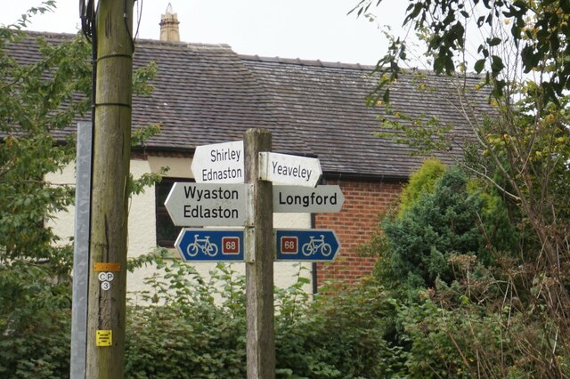
Rodsley
Rodsley is a small village and civil parish about 4 miles (6 km) south of Ashbourne in Derbyshire. As the population of the village was less than 100 at...
Yeaveley
Yeaveley is a small village and civil parish near Rodsley and 4 miles south of Ashbourne in Derbyshire. The population of the civil parish (including Rodsley...
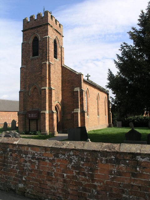
Holy Trinity Church, Yeaveley
Holy Trinity Church, Yeaveley is a Grade II listed parish church in the Church of England: 362 in Yeaveley, Derbyshire. == History == The foundation stone...

Alkmonton medieval settlement
Alkmonton medieval settlement is an archaeological site, a deserted medieval village near the present-day village of Alkmonton, about 5 miles (8 km) south...

Hungry Bentley
Hungry Bentley is a deserted medieval village and civil parish in the Derbyshire Dales district of Derbyshire, England, between Uttoxeter and Derby. The...

St Chad's Church, Longford
St Chad's Church, Longford is a Grade I listed parish church in the Church of England in Longford, Derbyshire. == History == The church dates from the...
Longford, Derbyshire
Longford is a village and civil parish in Derbyshire Dales district, Derbyshire, England. The population of the civil parish as of the 2011 census was...
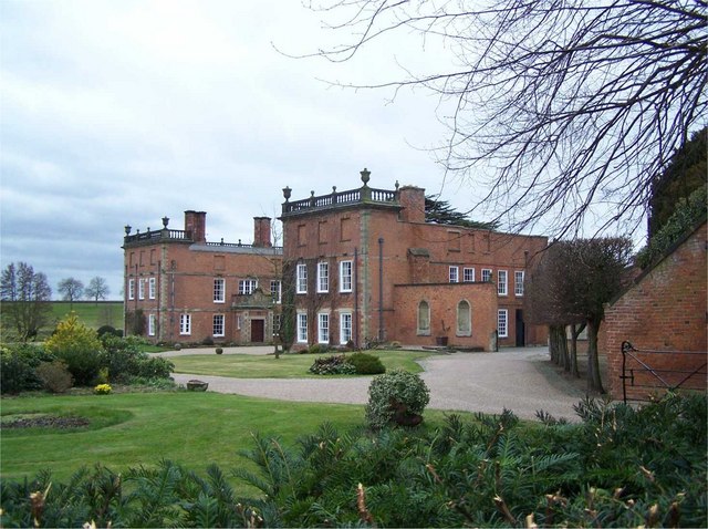
Longford Hall, Derbyshire
Longford Hall is a 16th-century country house at Longford in the Dales district of Derbyshire, England. It is a Grade II* listed building.The hall was...
Nearby Amenities
Located within 500m of 52.951041,-1.7096247Have you been to Bog Plantation?
Leave your review of Bog Plantation below (or comments, questions and feedback).