Damhead Holdings
Settlement in Midlothian
Scotland
Damhead Holdings
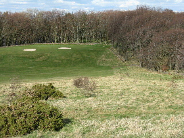
![Western Edinburgh from above Swanston Looking over Lothianburn golf course. To the left of the trees [the 'T-wood'] is the valley of the Swanston Burn, beyond which are the upper reaches of Swanston Golf Course, then Dreghorn and Redford Barracks and, even further in the distance, Corstorphine Hill and the Firth of Forth [11 km away]](https://s1.geograph.org.uk/geophotos/02/33/72/2337289_b81b7753.jpg)
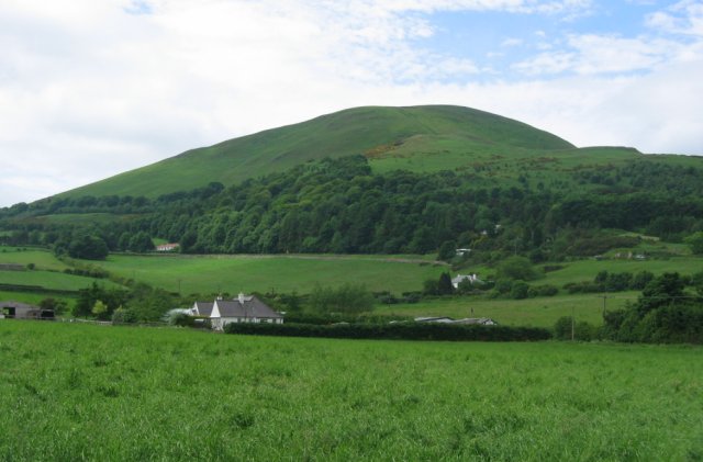
Damhead Holdings is a rural estate located in Midlothian, Scotland. Situated approximately nine miles south of Edinburgh, it covers an extensive area of approximately 800 acres. This picturesque estate is surrounded by rolling hills and offers stunning views of the Pentland Hills and the Lothians.
The estate is renowned for its rich history, dating back to the 12th century when it was first recorded as a royal hunting ground. Over the centuries, it has been owned and managed by various notable families, including the Prestons, the Dalmahoy family, and the Inglis family. Today, Damhead Holdings is privately owned and managed by its current proprietor.
The estate is primarily used for agricultural purposes and is home to a thriving farming community. It boasts a diverse range of agricultural activities, including arable farming, livestock rearing, and forestry. The fertile soil and favorable climate make it an ideal location for cultivating crops such as wheat, barley, and rapeseed.
In addition to its agricultural activities, Damhead Holdings also offers a range of recreational and leisure opportunities. The estate features several walking trails, allowing visitors to explore the beautiful countryside and enjoy the tranquility of the surroundings. The estate's proximity to the Pentland Hills makes it a popular destination for outdoor enthusiasts, offering opportunities for hiking, cycling, and wildlife spotting.
Overall, Damhead Holdings in Midlothian is a historic and picturesque estate, combining a rich agricultural heritage with beautiful natural surroundings. Whether one is interested in farming, outdoor activities, or simply appreciating the beauty of the Scottish countryside, this estate offers a range of opportunities for visitors and residents alike.
If you have any feedback on the listing, please let us know in the comments section below.
Damhead Holdings Images
Images are sourced within 2km of 55.881287/-3.2004413 or Grid Reference NT2566. Thanks to Geograph Open Source API. All images are credited.
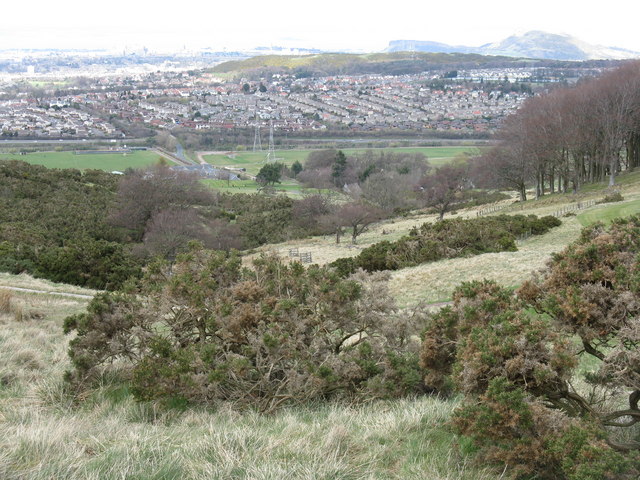
![Edinburgh from Hillend Looking northeastwards from just above the Midlothian Snowsports Centre, over Lothianburn Golf Course and Comiston to The Braid Hills, with Edinburgh Castle to the left [7km] and Salisbury Crags and Arthur&#039;s Seat to the right [7km], and the Firth of Forth, with Inchkeith island in the centre [17km].](https://s2.geograph.org.uk/geophotos/02/33/74/2337422_7b849218.jpg)
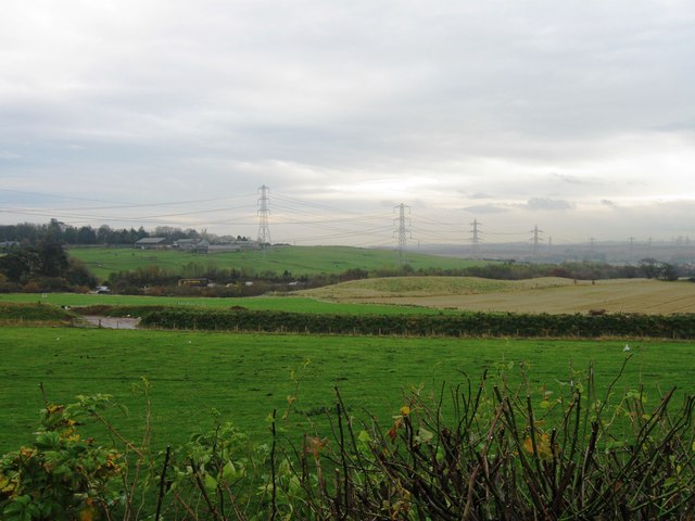
![Multiple Mobile Masts And other electrical support structures - at least 5 pylons are visible, as well as poles carrying lower tension cables. Looking towards the Lothianburn junction of the A720 [Edinburgh City Bypass] and A702 [Biggar Road] at Fairmilehead.](https://s0.geograph.org.uk/geophotos/02/33/74/2337468_6dbe4b58.jpg)
Damhead Holdings is located at Grid Ref: NT2566 (Lat: 55.881287, Lng: -3.2004413)
Unitary Authority: Midlothian
Police Authority: The Lothians and Scottish Borders
What 3 Words
///loaded.rare.stars. Near Bilston, Midlothian
Nearby Locations
Related Wikis
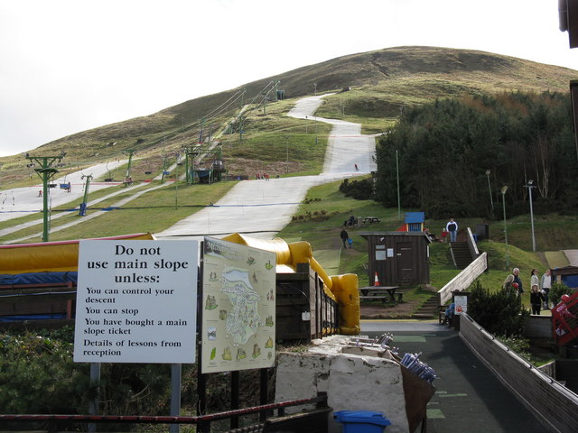
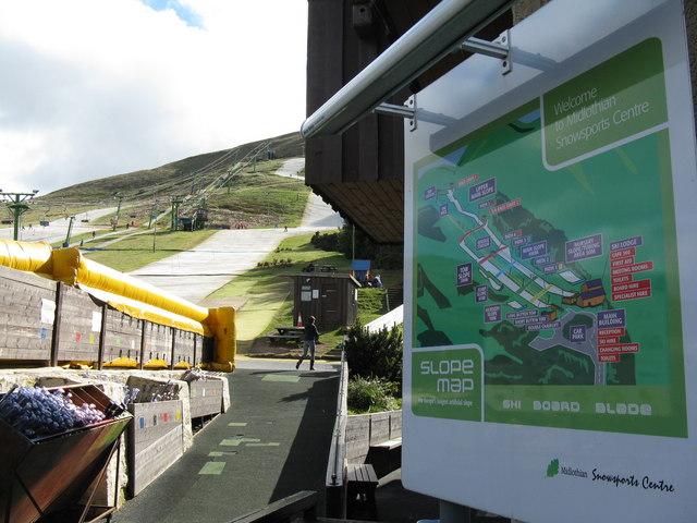
Hillend, Edinburgh
Hillend is a small hamlet in Midlothian, just outside the Scottish capital Edinburgh, best known for the Midlothian Snowsports Centre (formerly the Hillend...

Old Pentland Cemetery
Old Pentland Cemetery is a cemetery in Old Pentland, near Loanhead in Midlothian, Scotland. A category B listed building, the cemetery dates back to the...

Caerketton Hill
Caerketton Hill is a hill in the Pentland Hills range of Scotland. Standing at 478 m, it is at the northeast end of the approximately 25 km (16 mi) long...

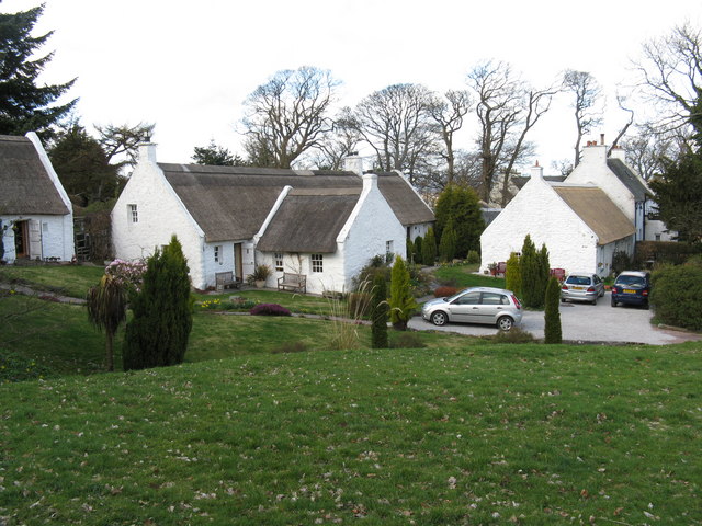
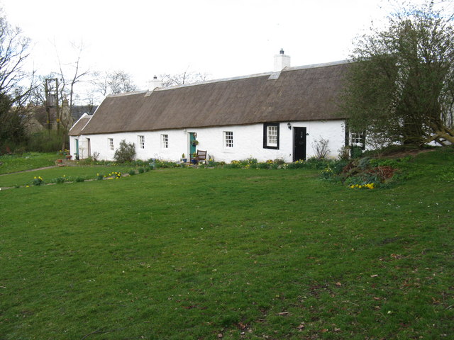
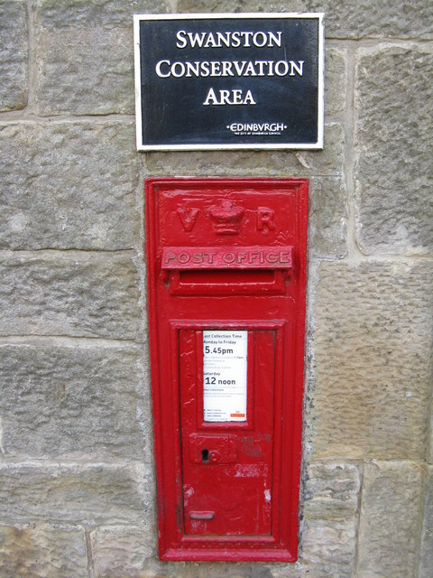
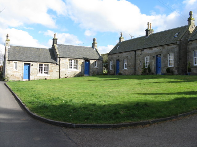
Swanston, Edinburgh
Swanston is a village and residential area on the southern edge of Edinburgh, Scotland, noted for its picturesque thatched cottages set around an informal...
Nearby Amenities
Located within 500m of 55.881287,-3.2004413Have you been to Damhead Holdings?
Leave your review of Damhead Holdings below (or comments, questions and feedback).