Brickyard Plantation

Wood, Forest in Yorkshire Richmondshire

England

Brickyard Plantation

Finghall Station Currently trains operate on a request stop basis whereby if there are passengers on the platform then the train will halt but if there are no passengers the train will continue through without stopping. Passengers wishing to alight at Finghall must inform a member of the train crew and they will take action to ensure the train stops at the station. Only two or three out of the ten trains a day actually halt at Finghall and often this is just to ensure good timekeeping.
Finghall Station Credit: Ashley Dace

Brickyard Plantation, located in Yorkshire, is a picturesque woodland area known for its rich history and natural beauty. Spread across a vast expanse, the plantation is nestled amidst towering trees, providing a serene and tranquil environment for visitors to explore.

The name "Brickyard" originates from the area's past as a brick manufacturing site during the industrial revolution. Today, remnants of the old brick kilns can still be seen, adding a touch of historical significance to the landscape.

The plantation is primarily made up of dense forest, characterized by a diverse range of tree species, including oak, beech, and pine. These trees, along with the surrounding flora, create a thriving ecosystem that supports a variety of wildlife. Birdwatchers can spot numerous species, such as woodpeckers, owls, and even the occasional rare bird.

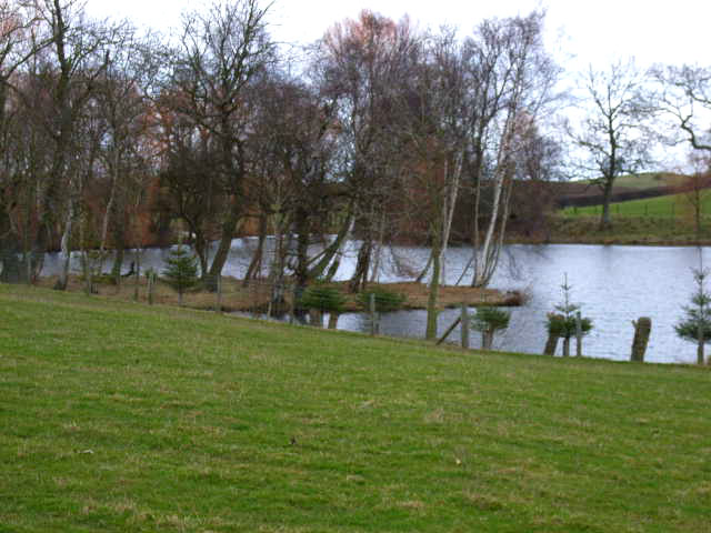
The woodland is crisscrossed with well-maintained trails, making it an ideal destination for hikers and nature enthusiasts. As visitors venture deeper into the forest, they may stumble upon hidden streams and small ponds, adding to the area's charm.

Brickyard Plantation is also popular among photographers, who are drawn to its enchanting beauty throughout the changing seasons. The vibrant colors of autumn foliage and the delicate blossoms of spring provide ample opportunities for capturing stunning images.

For those seeking a peaceful retreat from the hustle and bustle of everyday life, Brickyard Plantation offers a serene oasis with its natural wonders and historical significance. Whether exploring the trails, observing wildlife, or simply immersing oneself in the tranquility of the woodland, visitors are sure to find solace in this idyllic Yorkshire gem.

If you have any feedback on the listing, please let us know in the comments section below.

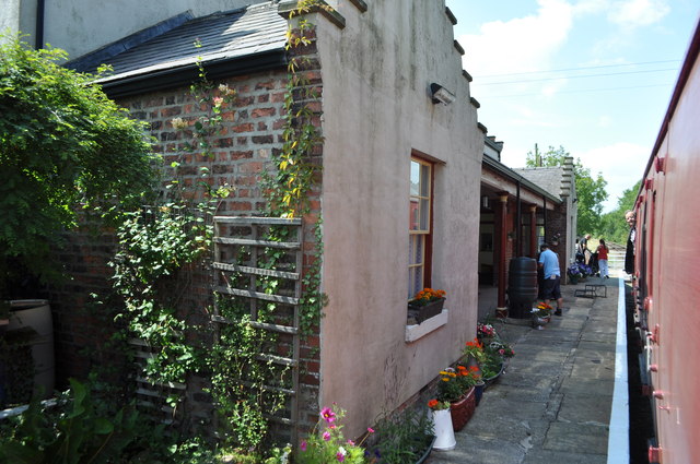
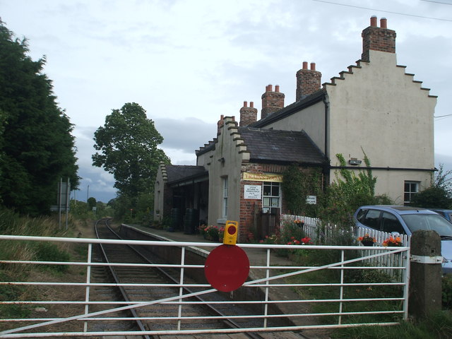
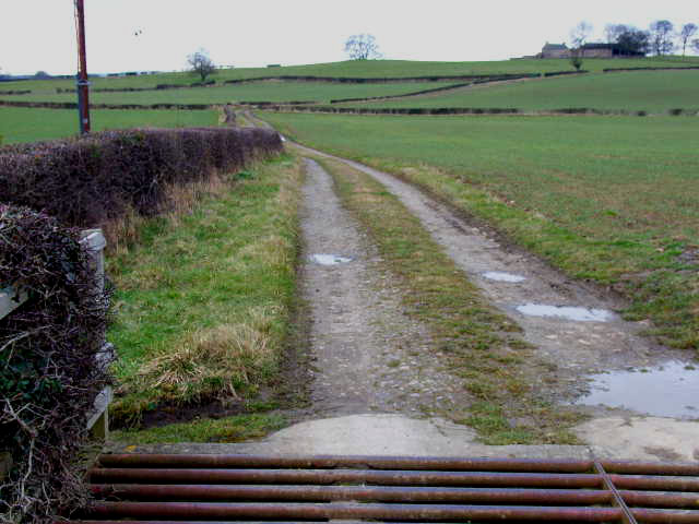
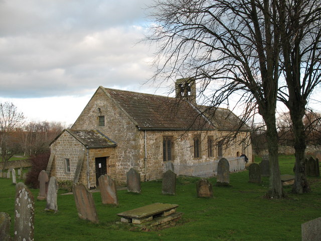
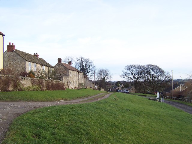
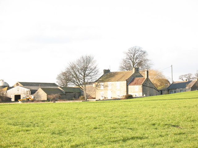
Brickyard Plantation Images

Images are sourced within 2km of 54.292199/-1.703337 or Grid Reference SE1988. Thanks to Geograph Open Source API. All images are credited.

Finghall Station Currently trains operate on a request stop basis whereby if there are passengers on the platform then the train will halt but if there are no passengers the train will continue through without stopping. Passengers wishing to alight at Finghall must inform a member of the train crew and they will take action to ensure the train stops at the station. Only two or three out of the ten trains a day actually halt at Finghall and often this is just to ensure good timekeeping.
Finghall Station
Currently trains operate on a request stop basis whereby if there are passengers on the platform then the train will halt but if there are no passengers the train will continue through without stopping. Passengers wishing to alight at Finghall must inform a member of the train crew and they will take action to ensure the train stops at the station. Only two or three out of the ten trains a day actually halt at Finghall and often this is just to ensure good timekeeping.
Finghall railway station, Yorkshire Opened in 1856 by the Bedale & Leyburn Railway as an extension of the line from Northallerton. Closed in 1954, and reopened by the Wensleydale Railway in 2004. View south east towards Bedale.
Finghall railway station, Yorkshire
Opened in 1856 by the Bedale & Leyburn Railway as an extension of the line from Northallerton. Closed in 1954, and reopened by the Wensleydale Railway in 2004. View south east towards Bedale.
Finghall Lane station (remains), 1991 View eastward, towards Northallerton: ex-NER Northallerton - Hawes line, closed 26/4/54 but kept open for freight as far as Redmire and acquired by the heritage Wensleydale Railway in July 2003, who reopened this station (as a request stop) from 23/12/04. Evidently somebody lived there in 1991. (Cf. <a href="https://www.geograph.org.uk/photo/233989">SE1890 : Finghall level crossing and station</a> and <a href="https://www.geograph.org.uk/photo/3267935">SE1890 : Finghall railway station, Yorkshire</a>).
Finghall Lane station (remains), 1991
View eastward, towards Northallerton: ex-NER Northallerton - Hawes line, closed 26/4/54 but kept open for freight as far as Redmire and acquired by the heritage Wensleydale Railway in July 2003, who reopened this station (as a request stop) from 23/12/04. Evidently somebody lived there in 1991. (Cf. SE1890 : Finghall level crossing and station and SE1890 : Finghall railway station, Yorkshire).
Benchmark on Finghall Lane Station Ordnance Survey cut mark benchmark described on the Bench Mark Database at <span class="nowrap"><a title="http://www.bench-marks.org.uk/bm60330" rel="nofollow ugc noopener" href="http://www.bench-marks.org.uk/bm60330">Link</a><img style="margin-left:2px;" alt="External link" title="External link - shift click to open in new window" src="https://s1.geograph.org.uk/img/external.png" width="10" height="10"/></span>
Benchmark on Finghall Lane Station
Ordnance Survey cut mark benchmark described on the Bench Mark Database at LinkExternal link
Finghall Lane Station, Wensleydale Railway There is an OS benchmark <a href="https://www.geograph.org.uk/photo/4328079">SE1890 : Benchmark on Finghall Lane Station</a> on the bricks left of the white entrance gate
Finghall Lane Station, Wensleydale Railway
There is an OS benchmark SE1890 : Benchmark on Finghall Lane Station on the bricks left of the white entrance gate
Level crossing gate at Finghall Lane Station The station is on the Wensleydale Railway line
Level crossing gate at Finghall Lane Station
The station is on the Wensleydale Railway line
Driving Range at Wensleydale Golf Club Small but attractive golf course, open to non-members. This is the driving range with the clubhouse behind.
Driving Range at Wensleydale Golf Club
Small but attractive golf course, open to non-members. This is the driving range with the clubhouse behind.
Finghall Station This is the west facing wall of the old Finghall Station buildings. The station is now a private residence. There is a benchmark cut into this wall, and with the recent addition of an electric socket the mark is now partially obscured and damaged.
Finghall Station
This is the west facing wall of the old Finghall Station buildings. The station is now a private residence. There is a benchmark cut into this wall, and with the recent addition of an electric socket the mark is now partially obscured and damaged.
Finghall Station A wider angle showing the old Finghall Station buildings which are on the south of the track. The station is now a private residence. There is a benchmark cut into the brick wall just to the left of the white fence and gate. With the recent addition of an electric socket the mark is now partially obscured and damaged.
Finghall Station
A wider angle showing the old Finghall Station buildings which are on the south of the track. The station is now a private residence. There is a benchmark cut into the brick wall just to the left of the white fence and gate. With the recent addition of an electric socket the mark is now partially obscured and damaged.
Chapel Lane Farm  A series of photographs taken from a Wensleydale Railway train on the journey from Bedale to Leeming Bar and back again.
Chapel Lane Farm
A series of photographs taken from a Wensleydale Railway train on the journey from Bedale to Leeming Bar and back again.
Chapel Lane  A series of photographs taken from a Wensleydale Railway train on the journey from Bedale to Leeming Bar and back again.
Chapel Lane
A series of photographs taken from a Wensleydale Railway train on the journey from Bedale to Leeming Bar and back again.
Sand Hill Farm near Newton-le-Willows
Pond near Newton-le-Willows, North Yorks
Stubbing Nook, near Newton-le-Willows
Lindale Lodge This is the farm that I would suggest has set up the caravan park <a href="https://www.geograph.org.uk/photo/139394">SE2188 : Lindale Holiday Park, near Newton-le-Willows</a>
Lindale Lodge
This is the farm that I would suggest has set up the caravan park SE2188 : Lindale Holiday Park, near Newton-le-Willows
Finghall level crossing and station A manually operated gated crossing on the single track Wensleydale Railway with a station adjacent.
Finghall level crossing and station
A manually operated gated crossing on the single track Wensleydale Railway with a station adjacent.
Aysgarth School This private boys school near Newton le Willows has a brick tower which dates from 1892.
Aysgarth School
This private boys school near Newton le Willows has a brick tower which dates from 1892.
St Andrew's Church Finghall. Although this 12th century church is now the parish church of Finghall, it must once have served the villagers of nearby Akebar. Fields close to the church show earthworks from a former village, whilst other fields are full of residential caravans.
St Andrew's Church Finghall.
Although this 12th century church is now the parish church of Finghall, it must once have served the villagers of nearby Akebar. Fields close to the church show earthworks from a former village, whilst other fields are full of residential caravans.
Show me another place!

Brickyard Plantation is located at Grid Ref: SE1988 (Lat: 54.292199, Lng: -1.703337)

Division: North Riding

Administrative County: North Yorkshire

District: Richmondshire

Police Authority: North Yorkshire

What 3 Words

///sanded.straws.forehand. Near Bedale, North Yorkshire

Related Wikis

Thornton Steward Reservoir

Thornton Steward Reservoir is a reservoir north of the village of Thornton Steward in North Yorkshire, England. It is owned by Yorkshire Water, and supplies...
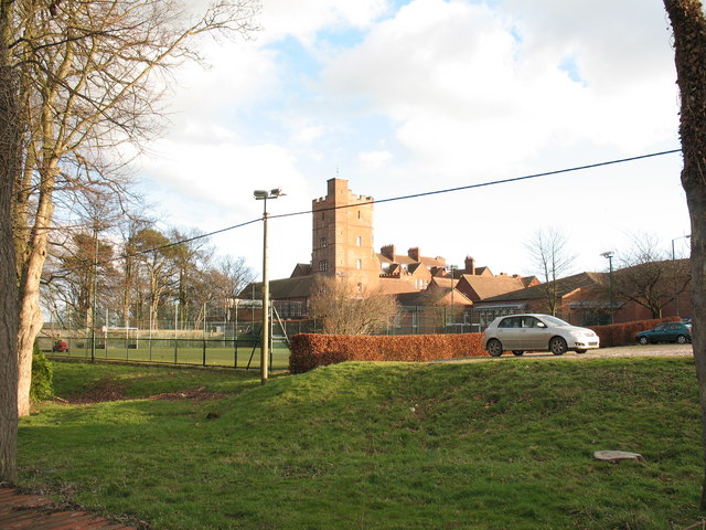
Aysgarth School

Aysgarth School is an independent day and boarding preparatory school near to the village of Newton-le-Willows, North Yorkshire, England. As the name suggests...

Finghall

Finghall is a village and civil parish in North Yorkshire, England. == History == The village is mentioned in the Domesday Book as Fingall when it belonged...

Finghall railway station

Finghall railway station is on the Wensleydale Railway and serves the village of Finghall in North Yorkshire, England. Adjacent to the station is a manually...

Jervaulx railway station

Jervaulx railway station was a railway station in Newton-le-Willows, North Yorkshire, England. Originally named after this place, it was renamed after...

Thornton Steward

Thornton Steward is a small village and civil parish in North Yorkshire, England, near Wensleydale, with a population of 100–200, measured at 199 in the...

Akebar

Akebar is a township and civil parish in North Yorkshire, England, about eight miles south of Richmond. It consists of a caravan site, as well as several...

Rookwith

Rookwith is a hamlet and civil parish in the Hambleton district of North Yorkshire, England, about 4 miles (6.4 km) west of Bedale and near the flow of...

Related Videos

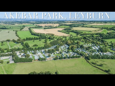
Akebar Park - Fitzy Family

NUMBER 1 TRIP - AKEBAR PARK We had the best first camping trip to Akebar Park. The place is lovely, really clean, set up well ...

Akebar Park Lower Wendsleydale Yorkshire Dales caravan parks

Akebar Park, set in Lower Wensleydale, in the beautiful Yorkshire Dales. caravan parks like this are rare. We are the one stop ...

Nearby Amenities

Located within 500m of 54.292199,-1.703337
Power: pole
Lat/Long: 54.2938081/-1.7104537
Power: pole
Lat/Long: 54.293663/-1.7090554
Power: pole
Lat/Long: 54.2934793/-1.7075201
Power: pole
Lat/Long: 54.2932955/-1.705978
Power: pole
Lat/Long: 54.293217/-1.7033798
Power: pole
Lat/Long: 54.2942089/-1.6976334
Power: pole
Lat/Long: 54.2938348/-1.6985208
Power: pole
Lat/Long: 54.2936204/-1.7000629
Power: pole
Lat/Long: 54.2934313/-1.7016255
Power: pole
Lat/Long: 54.2883092/-1.7004735
Power: pole
Lat/Long: 54.2885835/-1.7021
The data included in this document is from www.openstreetmap.org. The data is made available under ODbL.

Have you been to Brickyard Plantation?

Leave your review of Brickyard Plantation below (or comments, questions and feedback).