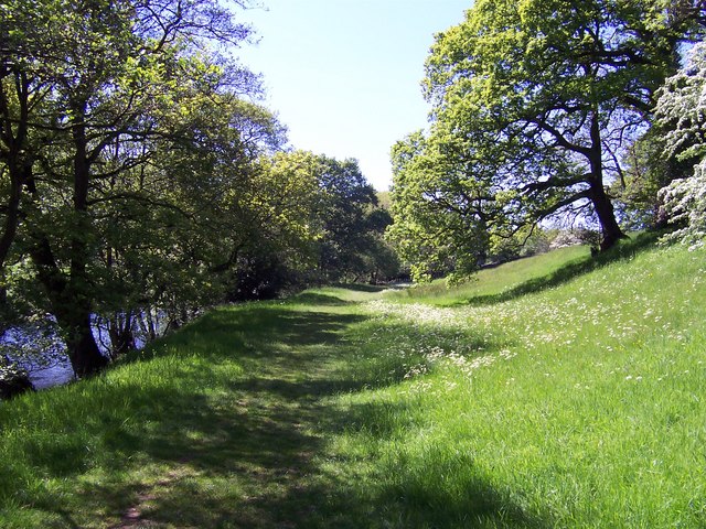
Cornfield Wood

Wood, Forest in Yorkshire Harrogate

England

Cornfield Wood

Glasshouses Glasshouse mill is the large building over the river Nidd.  The mill is now a winery and tea rooms.
Glasshouses Credit: Paul Baxter

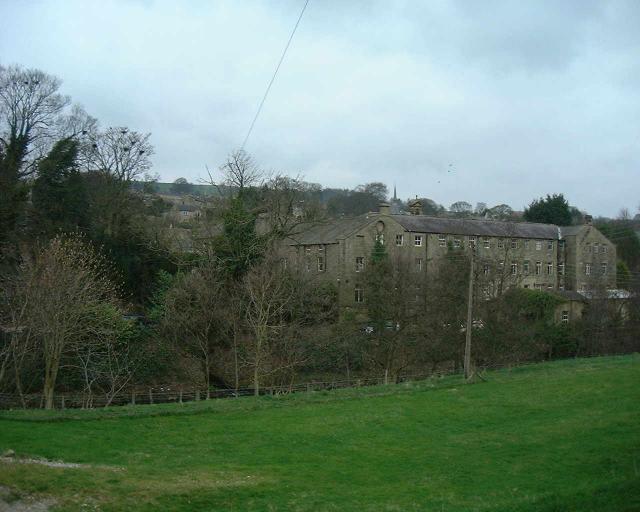
Cornfield Wood is a picturesque woodland located in the county of Yorkshire, England. Situated in the northeastern part of the county, near the village of Cornfield, this woodland is a haven of natural beauty and tranquility.

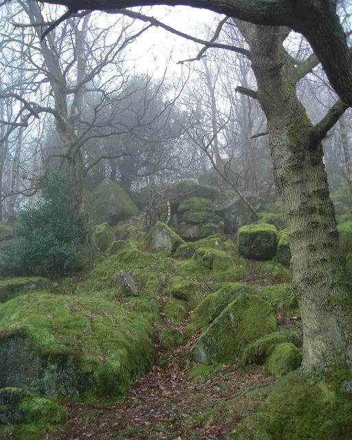
Covering an area of approximately 100 acres, Cornfield Wood is home to a diverse range of flora and fauna. The woodland consists mainly of deciduous trees, such as oak, beech, and birch, which provide a lush canopy and create a vibrant and colorful environment throughout the year.

The forest floor is adorned with a variety of wildflowers, including bluebells, primroses, and wood anemones, which add a touch of charm and fragrance to the woodland. The undergrowth is teeming with ferns, mosses, and brambles, creating a rich and varied habitat for small mammals, birds, and insects.

Cornfield Wood is a popular destination for nature lovers and outdoor enthusiasts. It offers several walking trails and pathways that allow visitors to explore the woodland at their own pace. There are also designated picnic areas and benches where visitors can relax and admire the natural surroundings.

The woodland is managed by the local conservation trust, which ensures the preservation of its natural beauty and the protection of its wildlife. They also organize educational programs and guided tours to raise awareness about the importance of conservation and the biodiversity of the area.

Cornfield Wood is a true gem of Yorkshire, offering a serene escape from the hustle and bustle of modern life. It is a place where visitors can immerse themselves in the wonders of nature and experience the peacefulness of a truly enchanting woodland.

If you have any feedback on the listing, please let us know in the comments section below.

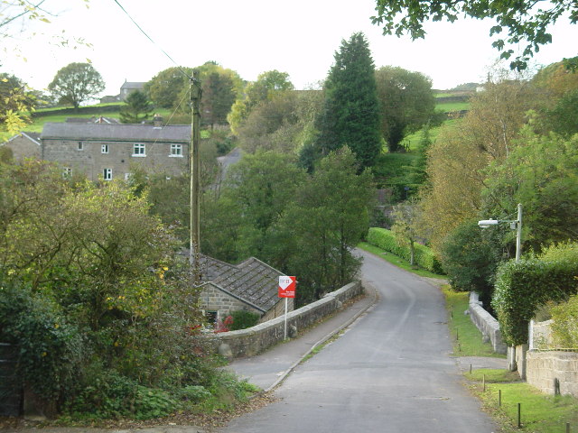
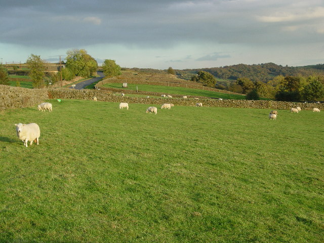
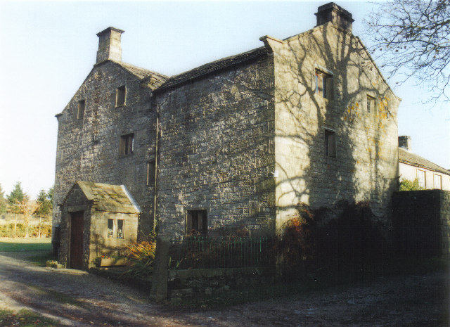
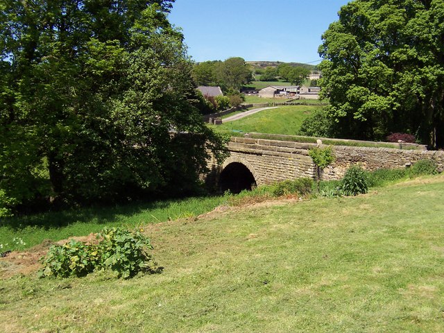
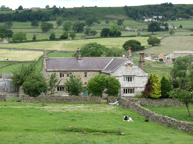
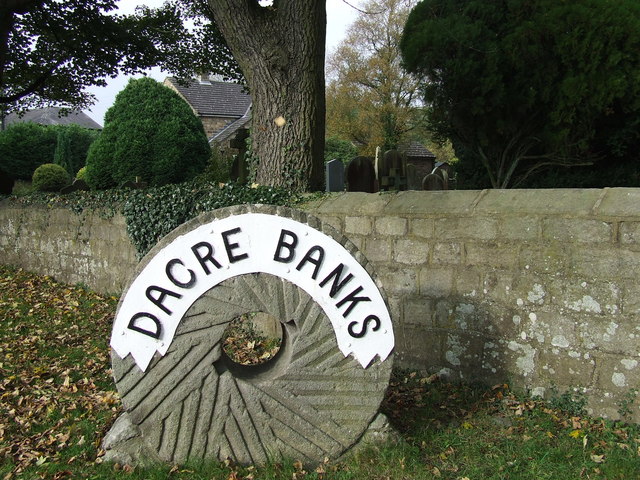
Cornfield Wood Images

Images are sourced within 2km of 54.071823/-1.7049395 or Grid Reference SE1964. Thanks to Geograph Open Source API. All images are credited.

Glasshouses Glasshouse mill is the large building over the river Nidd.  The mill is now a winery and tea rooms.
Glasshouses
Glasshouse mill is the large building over the river Nidd. The mill is now a winery and tea rooms.
Bark Cabin Wood Climbing the hills above Glasshouses the woods are filled with moss covered rocks.
Bark Cabin Wood
Climbing the hills above Glasshouses the woods are filled with moss covered rocks.
Nidderdale Weir This weir used to serve the nearby corn mill which is now a saw mill.
Nidderdale Weir
This weir used to serve the nearby corn mill which is now a saw mill.
Dusty Miller Restaurant, Low Laithe The photo would have been even better last week - unfortunately it was raining hard!
Dusty Miller Restaurant, Low Laithe
The photo would have been even better last week - unfortunately it was raining hard!
Wilsill Methodist Church
Smelthouses A charming little hamlet. The name suggests extracting metals from ore, but all trace of this site is now lost. It was probably from monastic times.
Smelthouses
A charming little hamlet. The name suggests extracting metals from ore, but all trace of this site is now lost. It was probably from monastic times.
Fields & Sheep near Blazefield
Braisty Woods Farm Historical home of the Skaife family.
Braisty Woods Farm
Historical home of the Skaife family.
B6265 near Braithwaite Syke This looks north east along the B6265 between Glasshouses and Fellbeck
B6265 near Braithwaite Syke
This looks north east along the B6265 between Glasshouses and Fellbeck
Fields running down to Fell Beck Roughly eastern aspect while walking towards Fell Beck en route to Brimham Rocks from the nearby B6265
Fields running down to Fell Beck
Roughly eastern aspect while walking towards Fell Beck en route to Brimham Rocks from the nearby B6265
Bridge over Fell Beck This is just before Fell Beck empties its waters into the River Nidd. The bridge carries the B6165 road over the watercourse just north of the village of Low Laithe
Bridge over Fell Beck
This is just before Fell Beck empties its waters into the River Nidd. The bridge carries the B6165 road over the watercourse just north of the village of Low Laithe
River Nidd near Wilsill Part of a superb riverside path that stretches from Low Laithe to Pateley Bridge
River Nidd near Wilsill
Part of a superb riverside path that stretches from Low Laithe to Pateley Bridge
Farm road near Harewell Woods Farm road and public footpath in Nidderdale. The serrated outline of Brimham Rocks can be seen in the distance.
Farm road near Harewell Woods
Farm road and public footpath in Nidderdale. The serrated outline of Brimham Rocks can be seen in the distance.
Harewell Hall, Nidderdale A traditional Dales farmhouse which looks as though it dates from the 17th century, although the projecting wing to the right poses a question. Is it of a similar period, or is it possibly a 19th century addition built in a sympathetic style?  The dressed stonework is certainly different from the main part of the house.

The building is Grade II listed <span class="nowrap"><a title="http://www.britishlistedbuildings.co.uk/en-331173-harewell-hall-dacre-north-yorkshire" rel="nofollow ugc noopener" href="http://www.britishlistedbuildings.co.uk/en-331173-harewell-hall-dacre-north-yorkshire">Link</a><img style="margin-left:2px;" alt="External link" title="External link - shift click to open in new window" src="https://s1.geograph.org.uk/img/external.png" width="10" height="10"/></span>
Harewell Hall, Nidderdale
A traditional Dales farmhouse which looks as though it dates from the 17th century, although the projecting wing to the right poses a question. Is it of a similar period, or is it possibly a 19th century addition built in a sympathetic style? The dressed stonework is certainly different from the main part of the house. The building is Grade II listed LinkExternal link
Forestry Vehicles nr Lead Wath Wood Yard Tractors and trailers of various ages are scattered around the wood yard.
Forestry Vehicles nr Lead Wath Wood Yard
Tractors and trailers of various ages are scattered around the wood yard.
Peacock near Mill house This Peacock was roaming freely in the woods near Mill House.
Peacock near Mill house
This Peacock was roaming freely in the woods near Mill House.
Village sign (Dacre Banks) This village sign stands just outside the churchyard of Holy Trinity Church
Village sign (Dacre Banks)
This village sign stands just outside the churchyard of Holy Trinity Church
Looking over the village of Smelthouses For hundreds of years Smelthouses was an industrial centre where ore was brought for smelting... now a picturesque & quiet hamlet.
Looking over the village of Smelthouses
For hundreds of years Smelthouses was an industrial centre where ore was brought for smelting... now a picturesque & quiet hamlet.
Show me another place!

Cornfield Wood is located at Grid Ref: SE1964 (Lat: 54.071823, Lng: -1.7049395)

Division: West Riding

Administrative County: North Yorkshire

District: Harrogate

Police Authority: North Yorkshire

What 3 Words

///tube.tornado.haircuts. Near Pateley Bridge, North Yorkshire

Related Wikis

Smelthouses

Smelthouses is a hamlet in Nidderdale in North Yorkshire, England. It lies about 2.3 miles (4 km) south-east of Pateley Bridge, on either side of Fell...
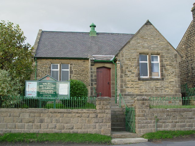
Wilsill

Wilsill is a village in Nidderdale in the Harrogate district of North Yorkshire, England. It is about 2 miles (3 km) east of Pateley Bridge on the B6165...

New York, North Yorkshire

New York is a settlement in Nidderdale in the Harrogate district of North Yorkshire, England. It is on the River Nidd, near Summerbridge, and about 2...

Brimham Rocks

Brimham Rocks, once known as Brimham Crags, is a 183.9-hectare (454-acre) biological Site of Special Scientific Interest (SSSI) and Geological Conservation...

Nearby Amenities

Located within 500m of 54.071823,-1.7049395
Smelthouses
Created By: Potlatch 0.9c
Is In: UK, Yorkshire, North Yorkshire, Nidderdale
Is In County: North Yorkshire
Is In Historical County: Yorkshire
Place: hamlet
Wikidata: Q111978933
Lat/Long: 54.0742442/-1.7077288
Low Laithe
Place: village
Lat/Long: 54.0688209/-1.7091219
Pub
Ye Olde Oak Inn
Addr City: Harrogate
Addr Postcode: HG3 4BU
Addr Street: Pately Bridge Road
Addr Suburb: Low Laithe
Lat/Long: 54.0689405/-1.7094757
Barrier: cattle_grid
Lat/Long: 54.0712376/-1.7114666
Barrier: stile
Lat/Long: 54.073848/-1.7088078
Barrier: stile
Lat/Long: 54.068307/-1.7042796
Post Box
Post Box Type: lamp
Lat/Long: 54.0685841/-1.7086525
Ford: yes
Lat/Long: 54.075436/-1.7007542
Generator Method: photovoltaic
Generator Output Electricity: yes
Generator Source: solar
Generator Type: solar_photovoltaic_panel
Power: generator
Lat/Long: 54.0687895/-1.7087403
Bus Stop
Well Lodge (Northwestbound)
Bench: no
Bin: no
Bus: yes
Departures Board: no
Naptan AtcoCode: 3200YND24350
Naptan NaptanCode: 32024350
Network: DalesBus
Operator: Harrogate Bus Company
Public Transport: platform
Shelter: no
Tactile Paving: no
Lat/Long: 54.0713131/-1.7120124
Bus Stop
Pudsey Terrace (Southeastbound)
Bench: yes
Bin: yes
Bus: yes
Departures Board: timetable
Network: DalesBus
Operator: Harrogate Bus Company
Public Transport: platform
Shelter: yes
Tactile Paving: no
Lat/Long: 54.0680751/-1.7081936
Bus Stop
Pudsey Terrace (Northwestbound)
Bench: no
Bin: no
Bus: yes
Departures Board: timetable
Naptan AtcoCode: 3200YND24340
Naptan NaptanCode: 32024340
Network: DalesBus
Operator: Harrogate Bus Company
Public Transport: platform
Shelter: no
Tactile Paving: no
Lat/Long: 54.0680986/-1.7083746
The data included in this document is from www.openstreetmap.org. The data is made available under ODbL.

Have you been to Cornfield Wood?

Leave your review of Cornfield Wood below (or comments, questions and feedback).