Black Plantation
Wood, Forest in Derbyshire Derbyshire Dales
England
Black Plantation
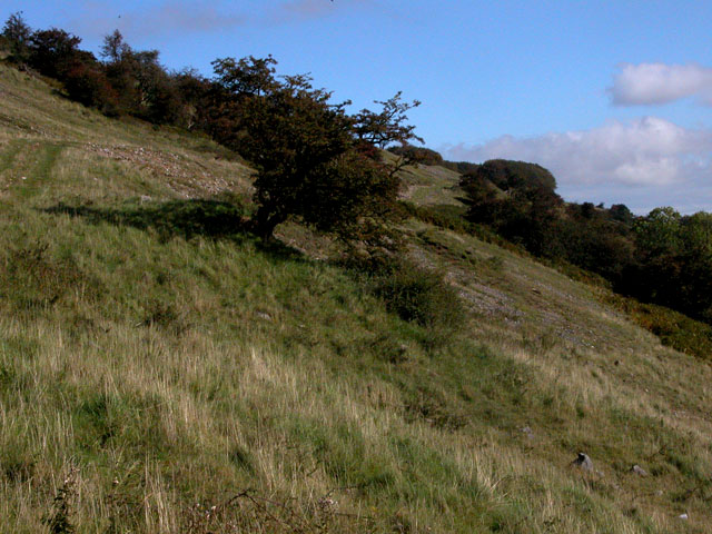
Black Plantation, located in Derbyshire, England, is a picturesque woodland area known for its dense forest and serene atmosphere. Stretching across a vast expanse, the plantation covers an area of approximately 200 hectares, making it one of the largest and most diverse woodlands in the region.
The woodland is predominantly made up of oak and ash trees, which provide a rich habitat for a variety of wildlife species. The forest floor is carpeted with a diverse range of flora, including bluebells, wood anemones, and ferns, creating a vibrant and colorful landscape during the spring and summer months.
Black Plantation has long been a popular destination for nature enthusiasts, offering numerous walking trails and paths that wind through the forest. These trails cater to different fitness levels and interests, providing options for both leisurely strolls and more challenging hikes. Along these paths, visitors can admire the towering trees, listen to the melodic songs of birds, and catch glimpses of small mammals such as squirrels and rabbits.
The woodland also boasts a rich history, with evidence of human habitation dating back to prehistoric times. Archaeological discoveries have revealed ancient tools and artifacts, shedding light on the activities and lifestyles of past inhabitants. Today, the plantation is managed and protected by local authorities, ensuring the preservation of its natural beauty and historical significance.
Overall, Black Plantation is a haven for nature lovers and history enthusiasts alike, offering a tranquil and captivating experience in the heart of Derbyshire.
If you have any feedback on the listing, please let us know in the comments section below.
Black Plantation Images
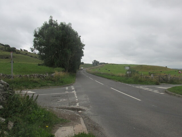
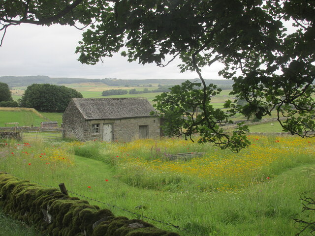
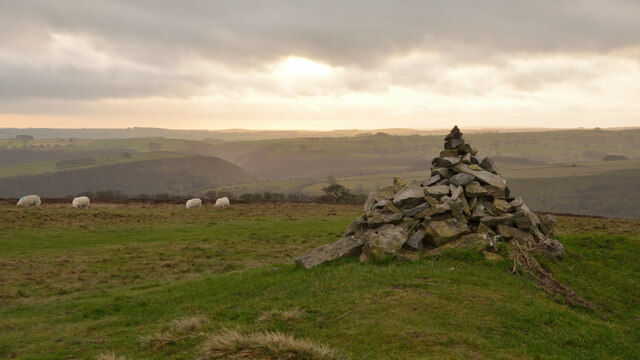
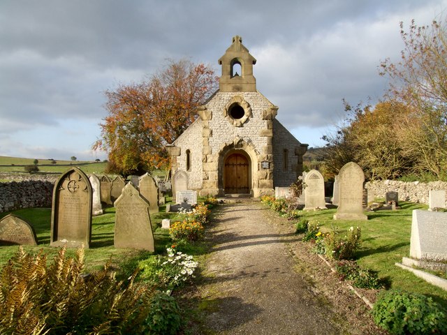
Images are sourced within 2km of 53.253129/-1.7107477 or Grid Reference SK1972. Thanks to Geograph Open Source API. All images are credited.


Black Plantation is located at Grid Ref: SK1972 (Lat: 53.253129, Lng: -1.7107477)
Administrative County: Derbyshire
District: Derbyshire Dales
Police Authority: Derbyshire
What 3 Words
///socialite.renders.flitting. Near Tideswell, Derbyshire
Nearby Locations
Related Wikis
Little Longstone
Little Longstone is a village and civil parish in Derbyshire, England. The village is on a minor road west of Great Longstone, just off the B6465 road...

Great Longstone War Memorial
Great Longstone War Memorial is a 20th-century grade II listed war memorial in Great Longstone, Derbyshire. == History == The war memorial was unveiled...

St Giles' Church, Longstone
St Giles’ Church, Longstone (also known as St Giles' Church, Great Longstone) is a Grade I listed parish church in the Church of England in Great Longstone...

Great Longstone
Great Longstone with Little Longstone is one of two villages in the local government district of Derbyshire Dales in Derbyshire, England. The population...

Monsal Dale
Monsal Dale is a valley in Derbyshire, England, in the White Peak limestone area of the Peak District National Park. It is a Site of Special Scientific...
Monsal Trail
The Monsal Trail is a cycling, horse riding and walking trail in the Derbyshire Peak District. It was constructed from a section of the former Manchester...

Great Longstone for Ashford railway station
Great Longstone for Ashford railway station was a station which served Great and Little Longstone in the Peak District of Derbyshire. It was opened in...
Longstone Edge
Longstone Edge is a limestone ridge in the Peak District National Park, in Derbyshire, England. Longstone Edge is immediately north of the village of Great...
Nearby Amenities
Located within 500m of 53.253129,-1.7107477Have you been to Black Plantation?
Leave your review of Black Plantation below (or comments, questions and feedback).